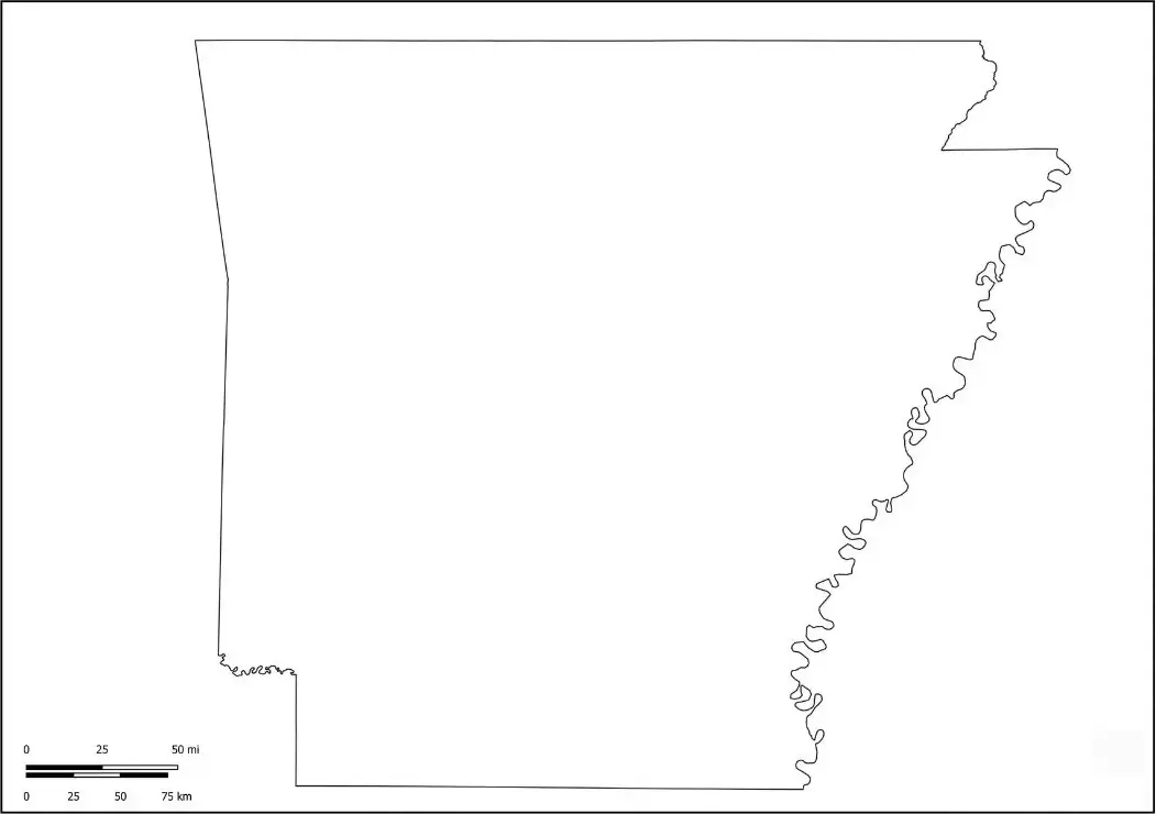
A Blank Arkansas Map is a valuable resource for anyone looking to learn more about the geography and layout of Arkansas. It is especially useful for students, educators, travelers, and geography enthusiasts who want to study the state without labeled features. This type of map allows users to identify and mark major cities such as Little Rock, Fayetteville, Fort Smith, and Hot Springs, as well as important waterways like the Mississippi River and the Arkansas River.In addition, a Blank Arkansas Map helps users explore county boundaries, neighboring states, and significant geographic regions, including the Ozark and Ouachita Mountains. Whether used for educational activities, research projects, travel planning, or personal study, a blank map provides an interactive way to gain a deeper understanding of Arkansas’s geography and regional characteristics.
A Blank Arkansas Map is widely used in classrooms to promote geographic literacy and help students learn about the state's location, physical features, and political boundaries. Teachers often incorporate these maps into educational activities that involve labeling, coloring, and identifying important landmarks, cities, counties, and historical sites. This hands-on approach encourages active learning and helps students develop a stronger understanding of Arkansas’s geography.Beyond education, Blank Arkansas Maps are valuable tools for travelers, researchers, and geography enthusiasts. They can be used for planning trips, mapping travel routes, organizing geographic data, and conducting regional studies. By offering a customizable and interactive format, a Blank Arkansas Map allows users to explore and engage with the state's unique landscape in a meaningful way. Whether for learning, teaching, research, or personal exploration, it serves as a practical resource for understanding Arkansas and its diverse geographic features.
Arkansas is a state in the southern United States known for its scenic beauty, diverse geography, and rich cultural heritage. Nicknamed “The Natural State,” Arkansas features mountains, forests, rivers, and natural hot springs. The capital and largest city, Little Rock, serves as the state’s cultural and economic hub. Arkansas is home to the Ozark Mountains and Ouachita Mountains, with the Mississippi River forming its eastern border. Key industries in Arkansas include agriculture, manufacturing, and tourism, making it a popular destination for those seeking southern charm and natural beauty.
An Arkansas map worksheet is an educational tool used to learn about the state’s geography. It typically includes a blank or partially labeled map of Arkansas, where students can fill in important features like cities, rivers, counties, and natural landmarks.
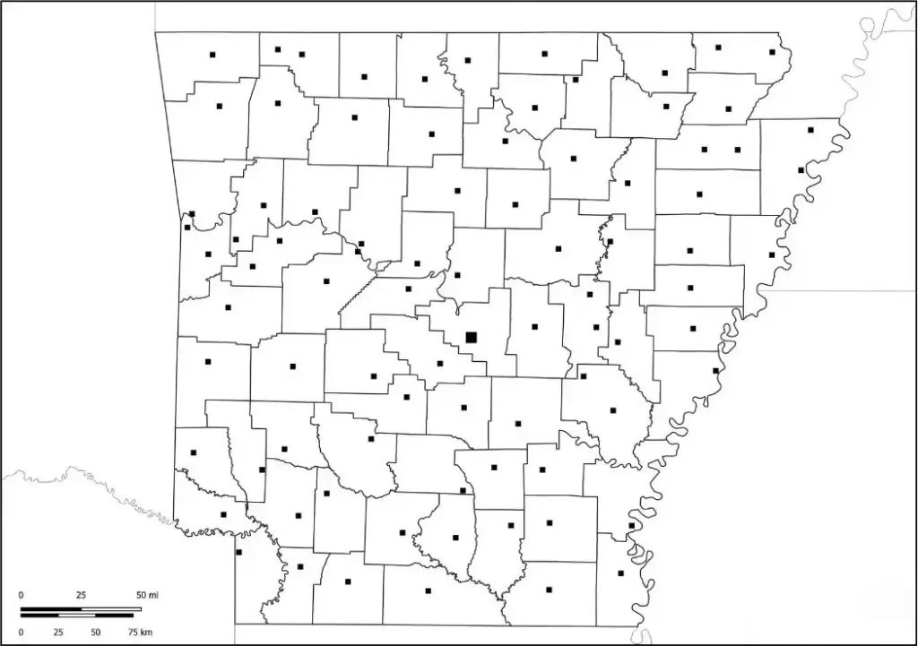
Arkansas map worksheets are commonly used in classrooms to review knowledge of the state’s physical and political geography through labeling, coloring, and map-based quizzes. Students can identify key locations such as Little Rock, the Ozark Mountains, and the Mississippi River. These worksheets promote interactive learning while helping students develop spatial awareness and map-reading skills in a fun and engaging way.
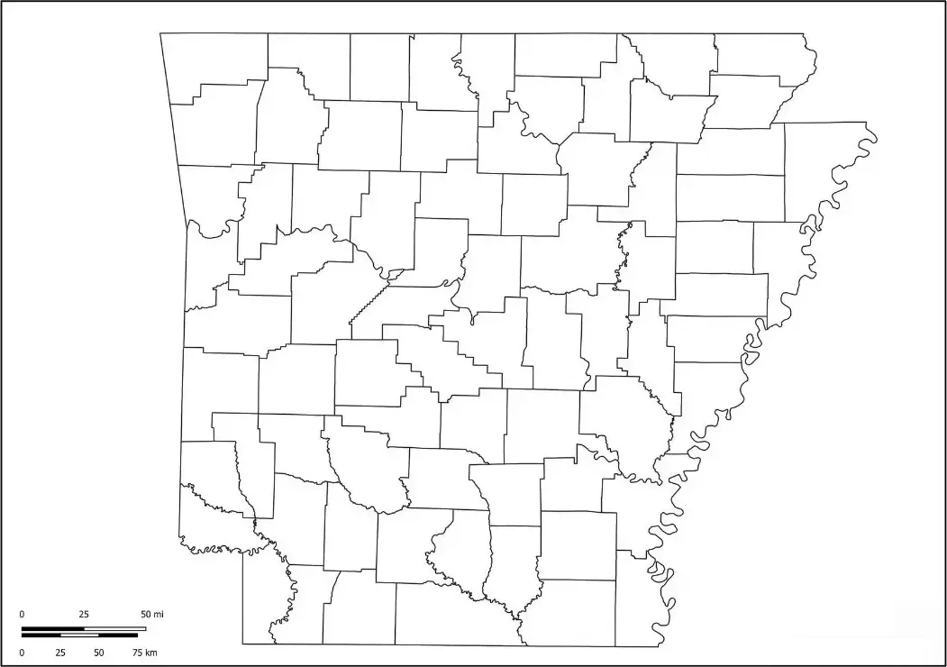
A blank Arkansas map outline helps educators teach students about the shape and layout of the state. This simple outline allows learners to study Arkansas without distractions from labels or markings. It can be used to identify major cities like Little Rock and Fayetteville, rivers such as the Arkansas River and Mississippi River, and important geographic regions.
Hands-on learning is clearly supported through the use of a blank Arkansas map outline. Students can label and color key features to better understand the state’s geography. This activity not only helps learners explore Arkansas in detail but also shows how it fits within the larger geography of the United States, improving both knowledge and map-reading skills.