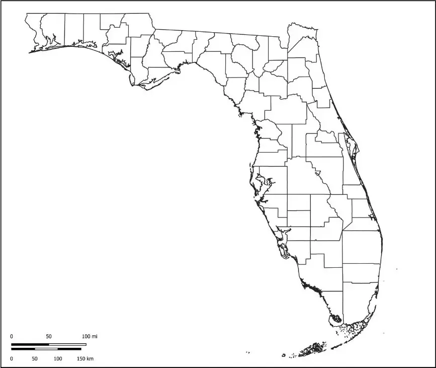
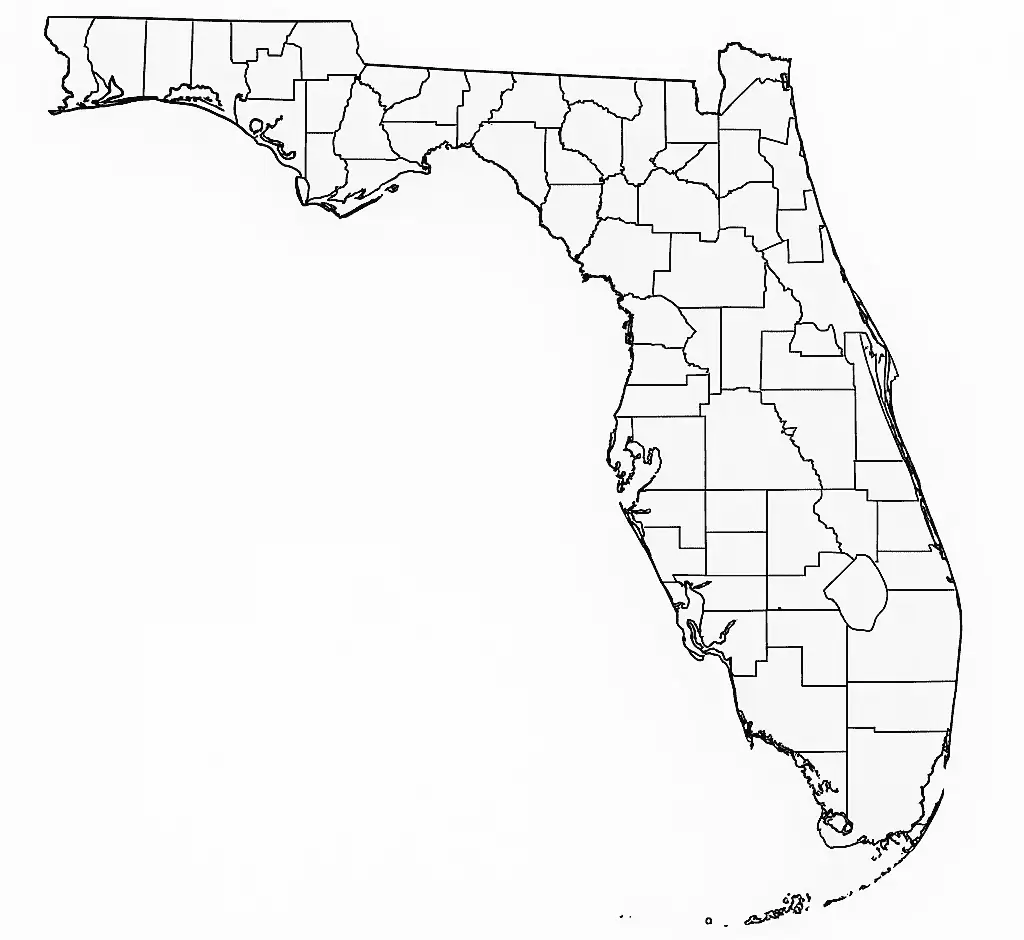
A Blank Florida County Map is an unlabeled map that provides a simple outline of the state, allowing users to add their own information and markings. This type of map is ideal for a wide range of educational activities, helping students, teachers, and geography enthusiasts explore Florida’s geography in an interactive way. Users can label major cities such as Miami, Orlando, and Tampa, as well as important geographic features like the Florida Keys, Everglades National Park, and the state's extensive coastline. A Blank Florida Map can also be used to identify counties, rivers, lakes, highways, and landmarks, making it a valuable tool for learning about Florida’s unique landscape and regional diversity.
Teachers can use a Blank Florida Map as an interactive educational tool to help students develop map-reading skills while gaining a better understanding of Florida’s physical geography and political boundaries. These maps are commonly used in classrooms to introduce students to the state’s diverse ecosystems, coastal regions, and significant role in U.S. history and culture. A Blank Florida Map encourages hands-on learning by allowing users to label locations, highlight specific regions, map population patterns, and even trace historical routes. Whether used for school projects, travel planning, research, or general geographic study, a Blank Florida Map is a valuable resource for anyone looking to explore and better understand the unique characteristics of the Sunshine State.
Florida is a southeastern state in the United States known for its warm climate, beautiful beaches, and diverse ecosystems. Popular attractions include Walt Disney World Resort, the vibrant nightlife of Miami, and the scenic coastlines along both the Gulf of Mexico and the Atlantic Ocean.
Florida is also known for its unique natural attractions, including Everglades National Park, a vast wetland ecosystem, and the Florida Keys, a tropical chain of islands.It is the third-most populous state in the United States and is recognized for its cultural diversity, strong tourism industry, and growing economy driven by sectors such as agriculture, real estate, and technology.
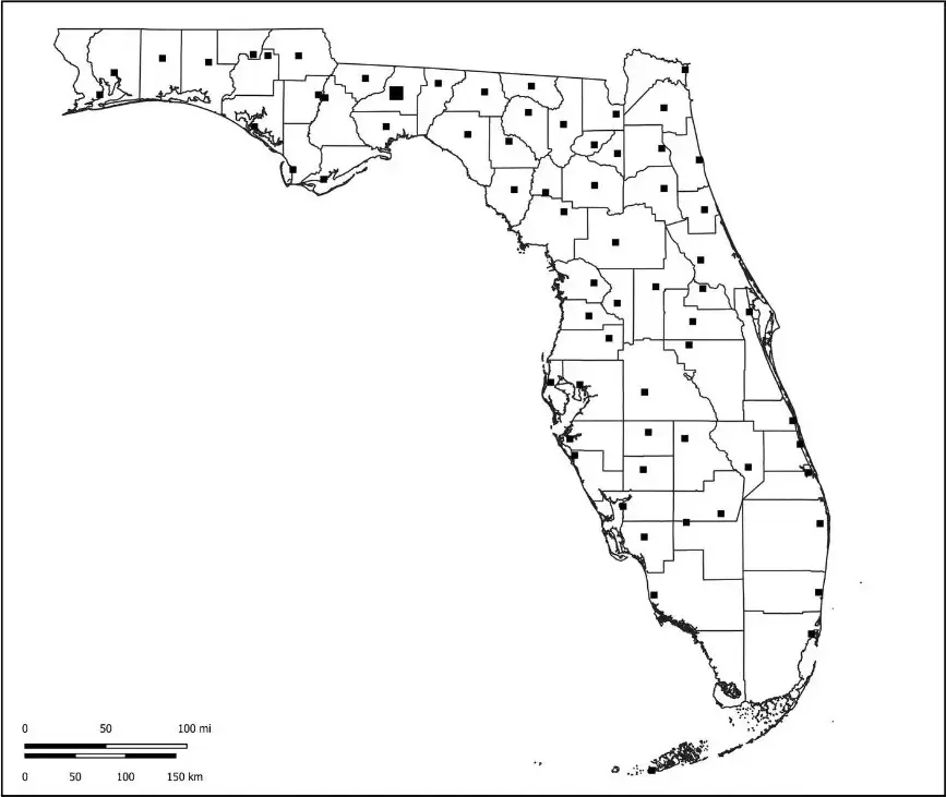
Learn about the geography of Florida using a Florida map worksheet. These worksheets typically include a blank or partially labeled map that allows students to identify major cities and key geographical features of the state.They are commonly used in geography assignments to help learners explore important locations and better understand Florida’s layout in an interactive way.
Many routes connect major destinations in Florida, including cities like Miami, Orlando, and Tallahassee, as well as popular locations such as the Florida Keys and Everglades National Park.Florida map worksheets are commonly used by teachers to help students practice map-reading skills, understand state boundaries, and explore different regions. These worksheets often include activities like coloring specific areas, locating key landmarks, and answering questions related to the state’s geography.
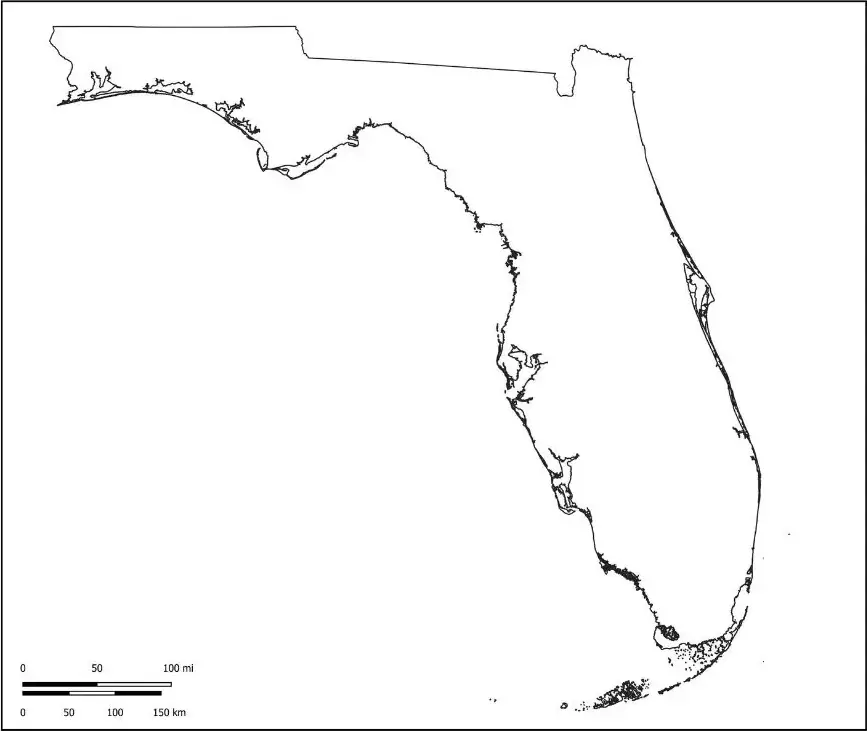
A Florida map outline is a simple, unlabelled representation of Florida that clearly shows its borders and overall shape. It provides a clean view of the state’s geography without any markings.This type of map is widely used in classrooms, where students can label major cities such as Miami, Orlando, and Tampa, along with important natural features like the Florida Keys and Everglades National Park.
The outline map of Florida is a valuable tool for practicing map-reading skills, understanding physical features, and gaining a clearer sense of the state’s regions. It offers an interactive, hands-on approach that makes learning Florida’s geography more engaging and effective.

