
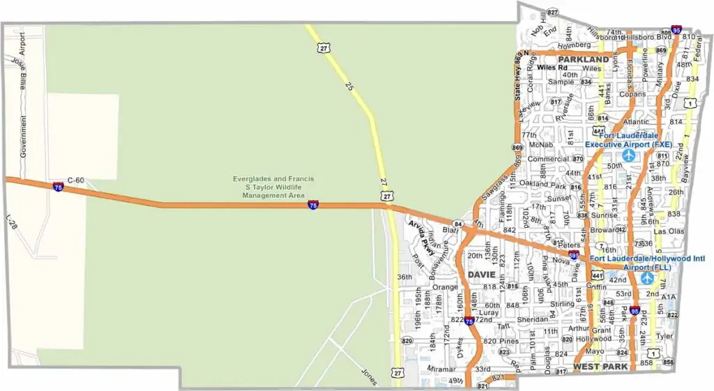
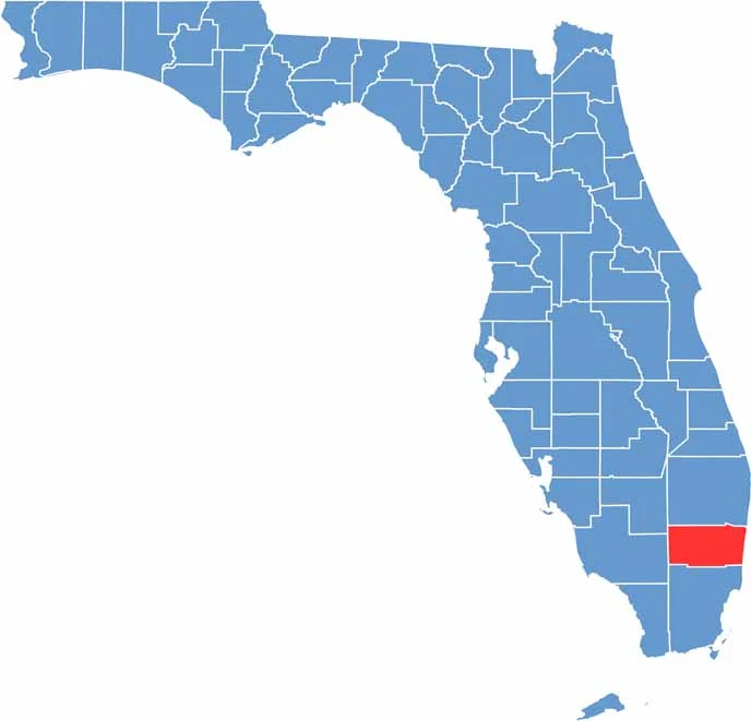
Broward County is a vibrant part of South Florida, with Fort Lauderdale serving as a major center known for its beautiful beaches and extensive canals. The county is located between Miami-Dade County and Palm Beach County, making it an important part of the region.
The Everglades cover much of western Broward County, adding a unique natural landscape to the area. Visitors are drawn to the county for its sun, sand, shopping, and coastal attractions. Port Everglades is also a major cruise port, welcoming travelers from around the world.
Fort Lauderdale nightlife is known for its lively atmosphere, while Broward County offers a diverse population and a strong food scene. However, traffic in Broward County can become challenging, especially during rush hour.
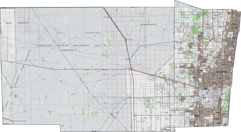
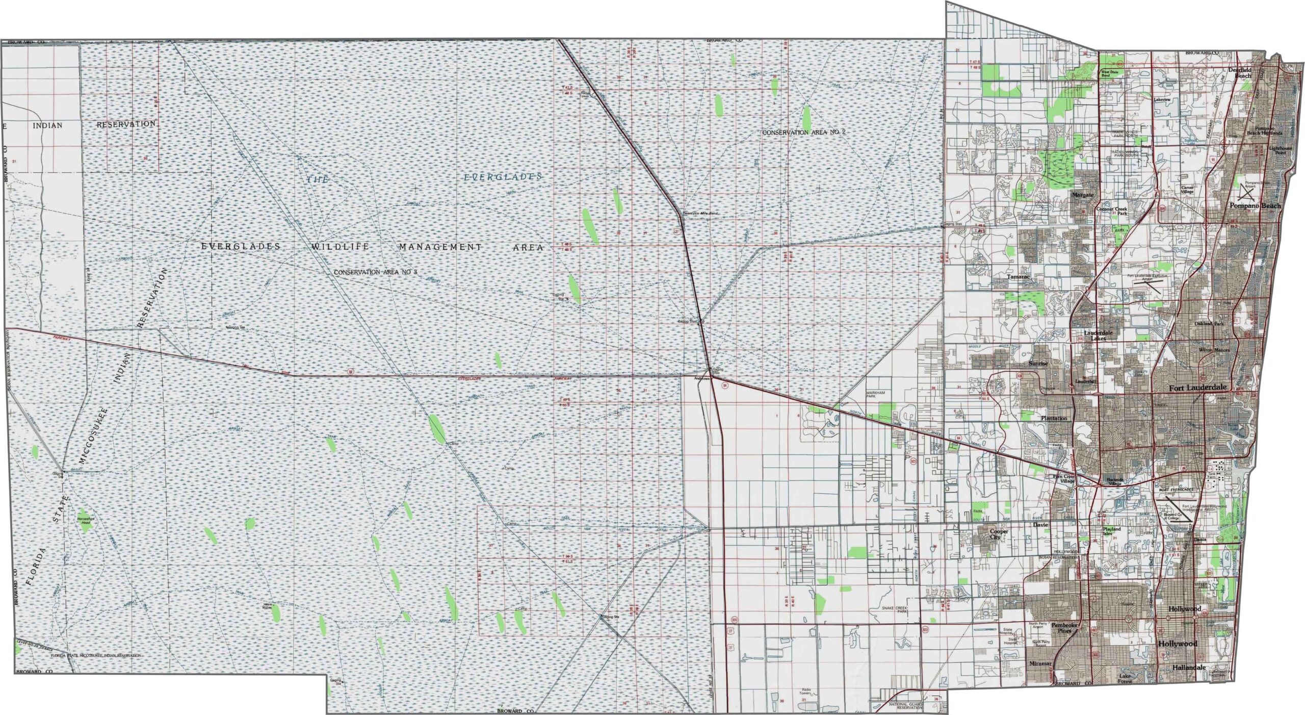
Our Broward County topographic map shows a gradual elevation change from the Atlantic Coastal Ridge in the east toward the Everglades in the west. Using our zoom tool, you can see how the western portion transitions into broad wetland plains with very little change in elevation.
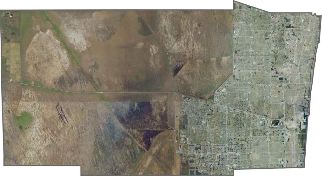
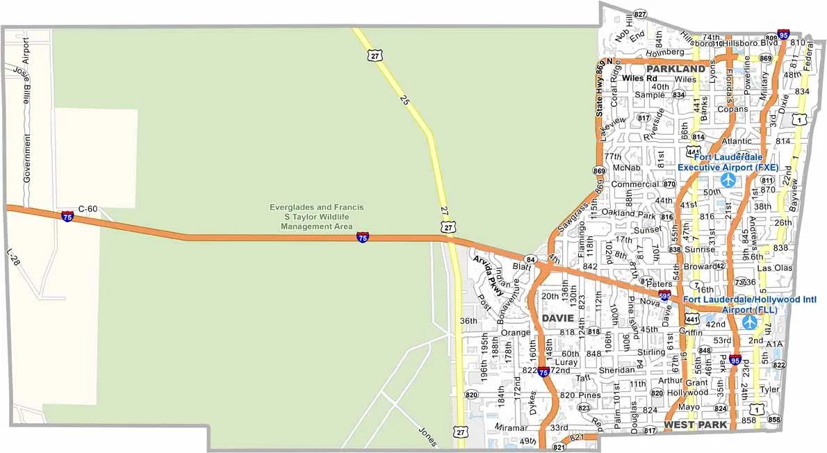
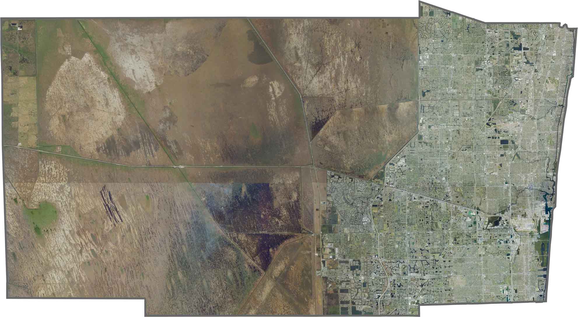
Broward County has a highly urbanized eastern half, with cities such as Fort Lauderdale located along the coast. In contrast, the western half is dominated by Everglades conservation areas and natural wetlands. The Atlantic coastline features a complex network of waterways, canals, and barrier islands. A closer look with our zoom tool reveals the contrast between dense neighborhoods and expansive wetland areas.
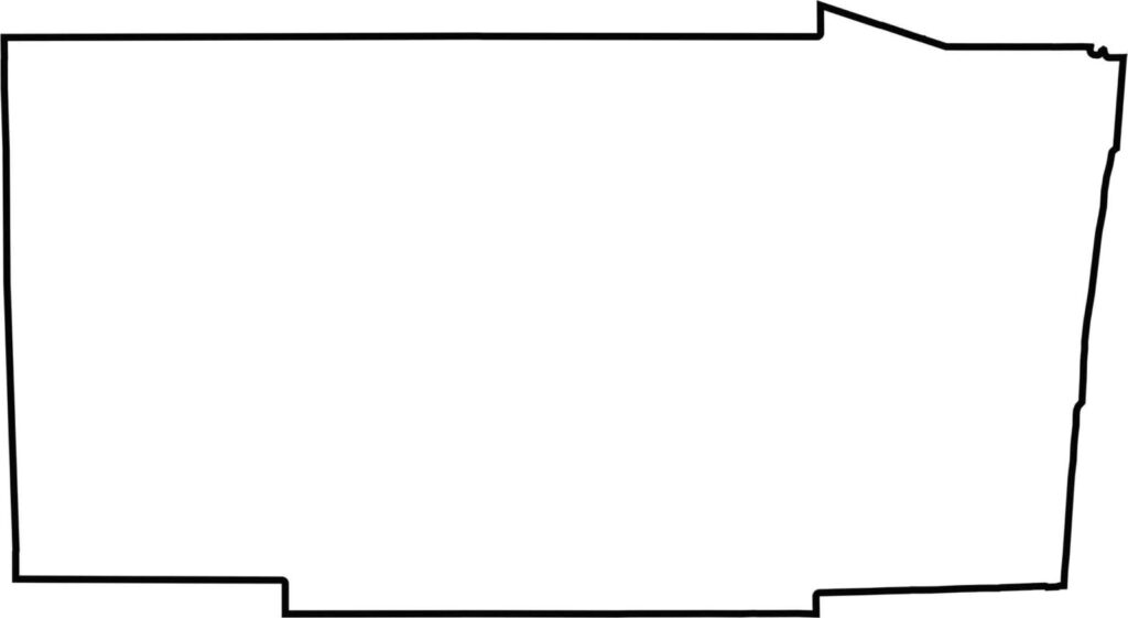
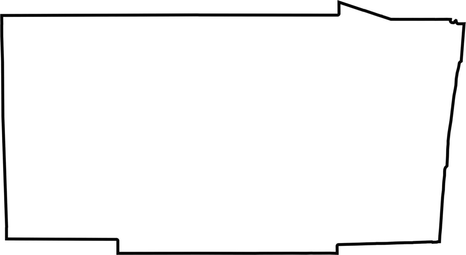
Broward County has a nearly rectangular shape, with its eastern boundary extending along the Atlantic Ocean. Its relatively straight western boundary follows the edge of the Everglades. Our blank map of Broward County emphasizes this distinctive, clean-cut shape and clearly illustrates the county’s coastal and inland geography.







Looking for a county map of Florida? Our Florida County Map breaks down all 67 counties across the Sunshine State. Explore Florida through detailed topographic, satellite, and outline maps to better understand its geography, landscapes, and county boundaries.