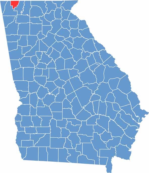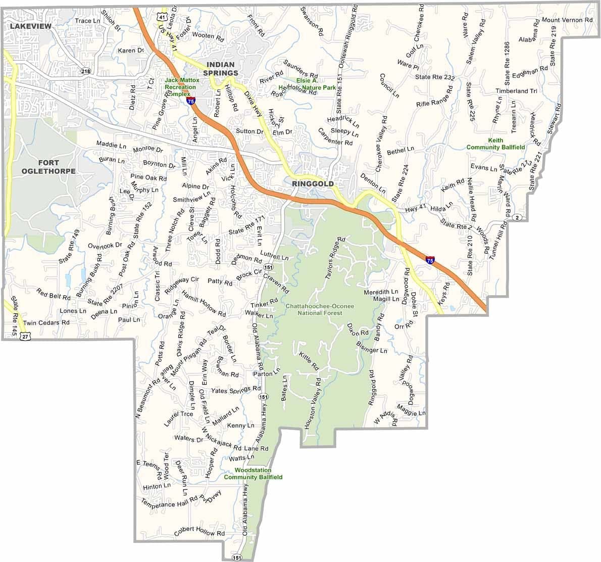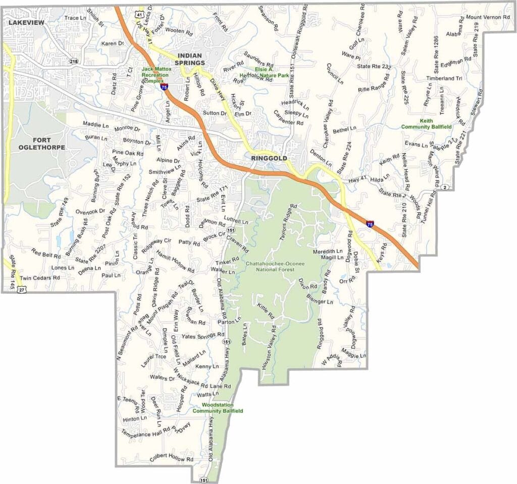
Catoosa County is located in Georgia’s northwestern corner, bordering Tennessee and the Chattanooga metropolitan area. Ringgold serves as the county seat and is known for its rich history and small-town character. Its proximity to Chattanooga gives the county a unique blend of Georgia and Tennessee influences.
The county was named after a Cherokee leader, reflecting the region’s Native American heritage. History enthusiasts are drawn to the nearby Chickamauga and Chattanooga National Military Park, while Lake Winnepesaukah, a classic amusement park, remains a popular attraction for families and visitors.
Today, Catoosa County balances its historic roots with modern growth. Many residents commute to nearby cities, while others have deep family ties to the area. With its welcoming communities, local traditions, and convenient location along Interstate 75, the county continues to offer a distinctive mix of small-town living and regional connectivity.