
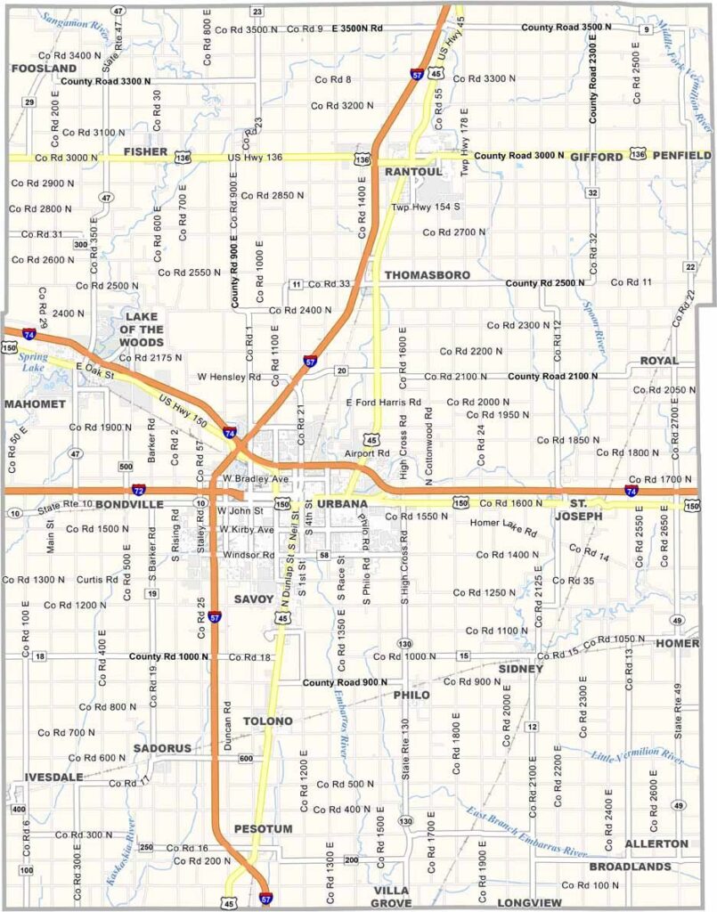
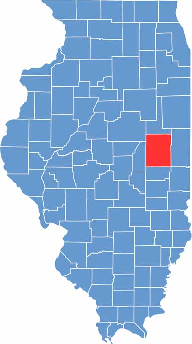
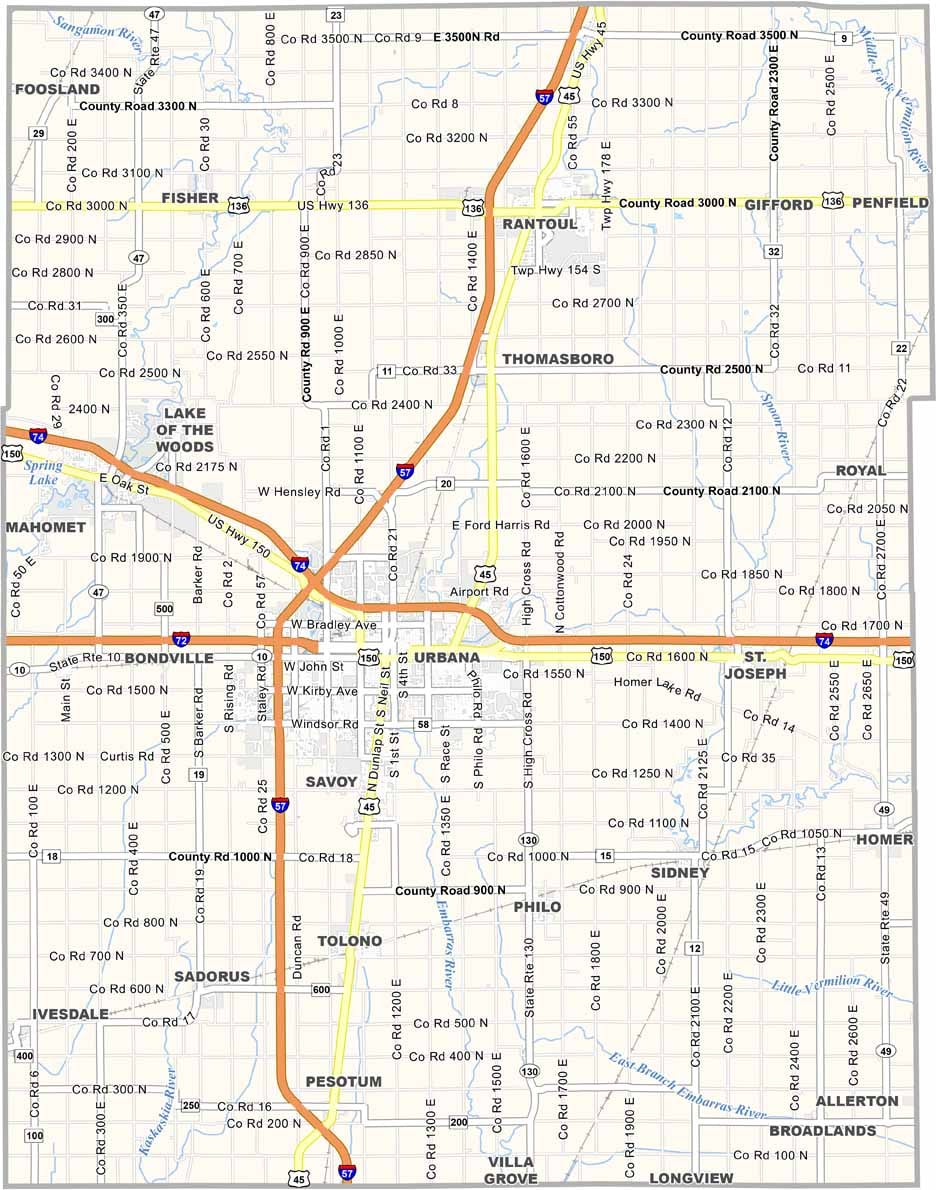
Champaign County is located in east-central Illinois and is home to the University of Illinois. The cities of Champaign and Urbana form a connected twin-city hub that serves as an important economic center for the county.
Beyond the cities, expansive farmland stretches across the landscape, with corn and soybeans dominating the fields. Known for its flat prairie terrain, Champaign County offers wide-open views that can extend for miles. Research, technology, and innovation play an important role in the local economy, with the university attracting talented students, researchers, and professionals.
The presence of the university contributes to the county’s cultural diversity, with a wide selection of restaurants, cultural events, and community activities. Residents value education and innovation, creating a unique environment where tradition and progress come together.
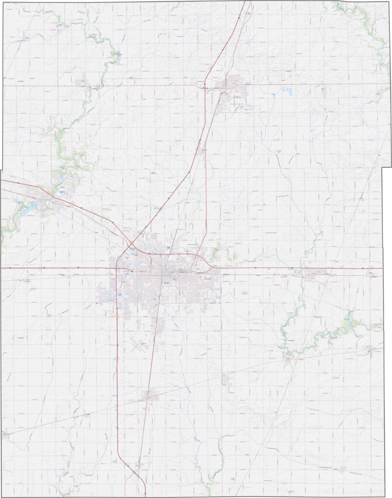
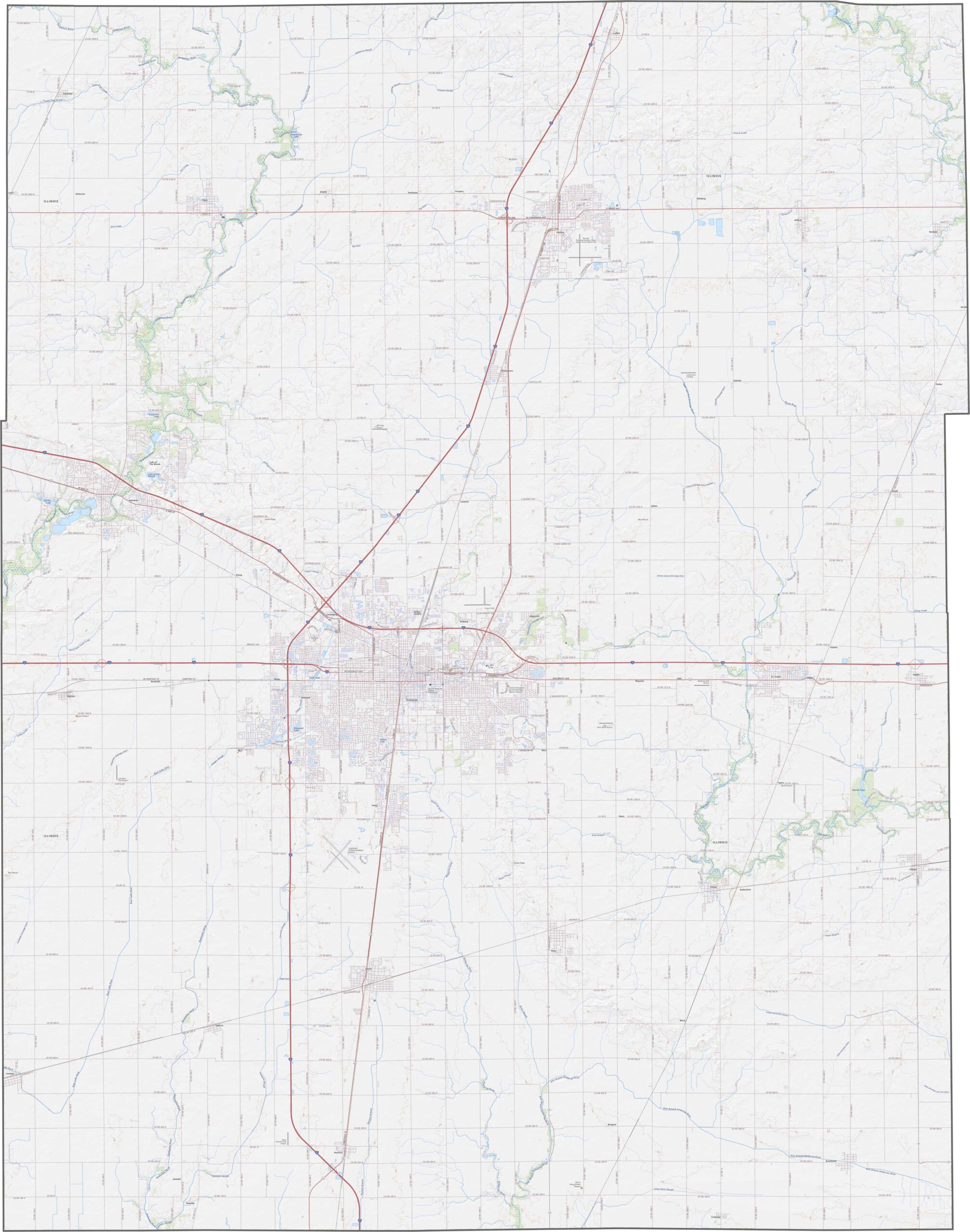
Our Champaign County topographic map shows a mostly flat landscape with gentle rolling terrain and wide-open farmland. The Sangamon River winds through the northwestern part of the county, adding a natural feature to the otherwise open scenery. Explore Champaign County with our zoom tool and discover its peaceful, expansive landscape.
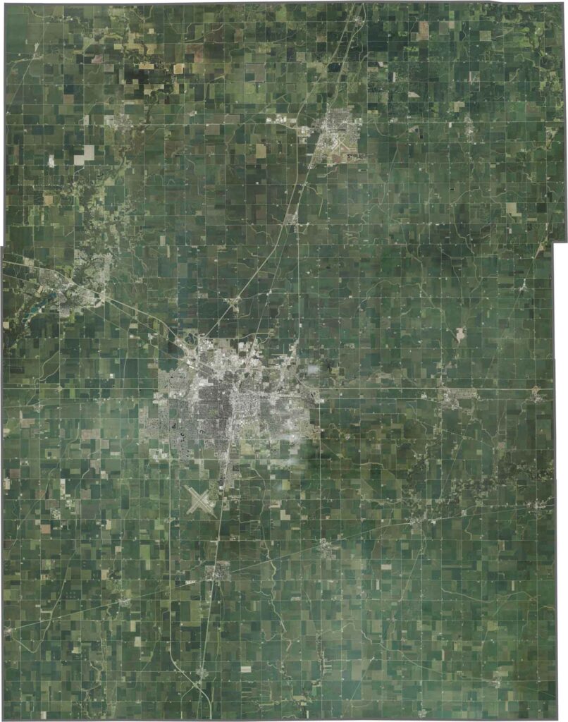
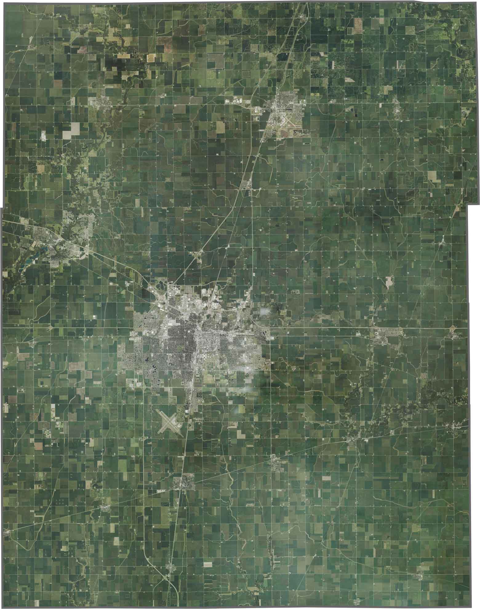
From above, Champaign County appears to be dominated by farmland, with fields stretching in every direction. The cities of Champaign and Urbana stand out as clusters of gray and green development, surrounded by expansive agricultural fields that create an orderly yet seemingly endless landscape.
On a blank map, Champaign County appears as a mostly neat rectangular shape with a few jagged edges. Its straightforward outline resembles a cleanly cut piece of Illinois farmland, giving the county a simple and recognizable shape.








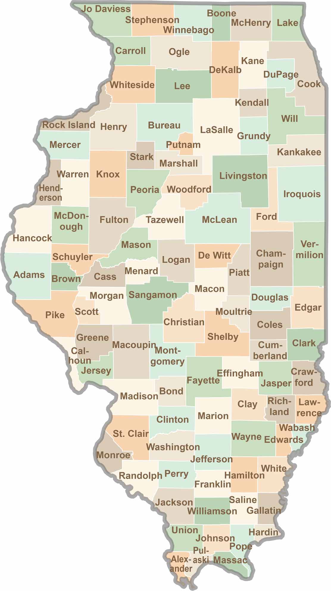
Ready to explore Illinois? Discover counties full of surprises, from the energy of Chicago and Cook County to the quiet beauty of Shawnee National Forest. Explore rich history, farmland, natural scenery, and small-town charm with our Illinois county map. Find your next adventure and discover all that Illinois has to offer.