
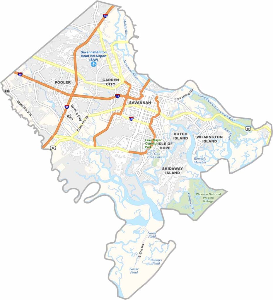
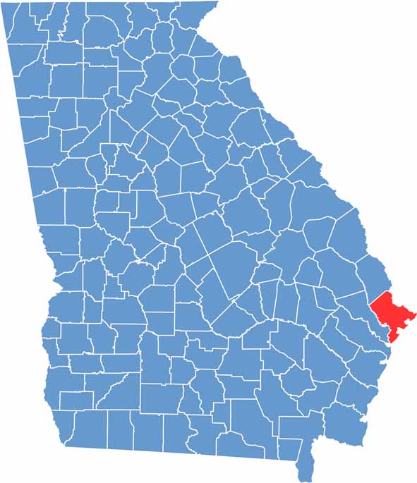
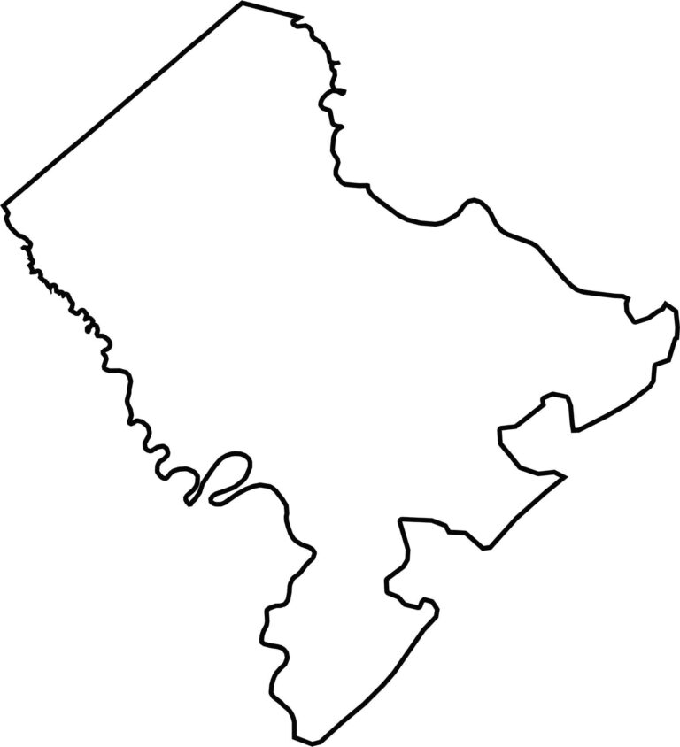
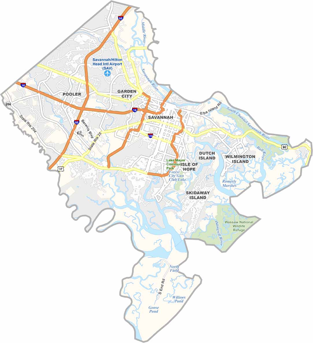
Chatham County offers a taste of coastal Georgia, with Savannah at the center of it all. Savannah is Georgia’s oldest city and is known for its historic architecture, beautiful squares, and distinctive Southern character. The county stretches to the Atlantic coast and includes Tybee Island, a popular beach community with a relaxed atmosphere.
The county is named after William Pitt, the Earl of Chatham. The Savannah River forms much of the northern border and supports the busy Port of Savannah, one of the region’s major economic engines. Chatham County brings together historic neighborhoods, college students from the Savannah College of Art and Design, and workers connected to the port and other industries.
With around 300,000 residents, Chatham County is a major population center on the Georgia coast. Visitors come for Savannah’s historic squares, riverfront, restaurants, and distinctive local culture. Fresh seafood, lively nightlife, and plenty of ghost stories add to its character. Despite its challenges, Chatham County remains one of Georgia’s most distinctive and charming coastal regions.
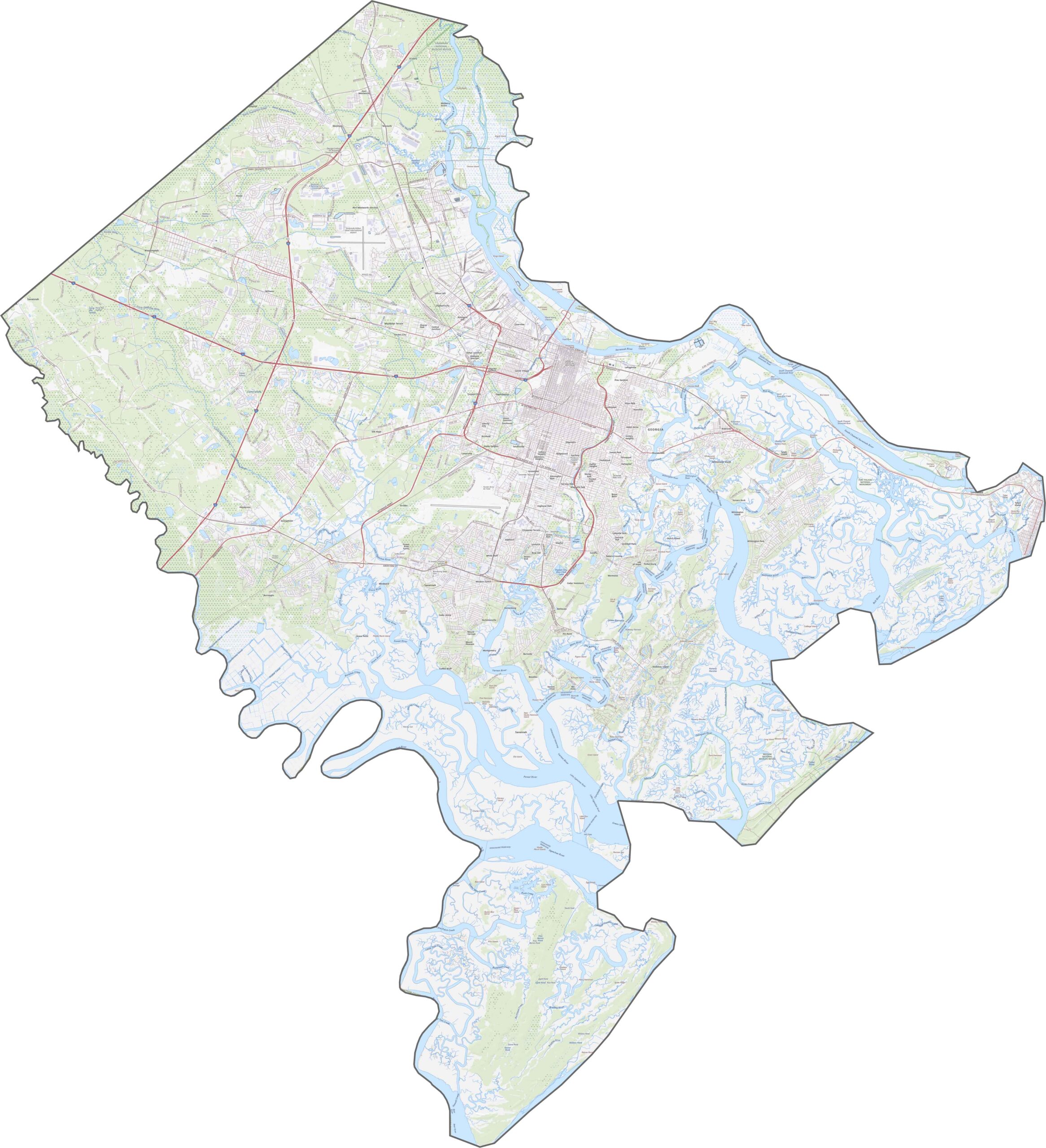
This topographic map highlights the gently rolling landscape of Bibb County, shaped by the Ocmulgee River and its surrounding valley. Macon is situated where several creeks converge before joining the Ocmulgee, making waterways a defining feature of the county’s geography. Explore the map using the zoom tool to get a closer look at the area’s rivers, lakes, parks, and natural landmarks.
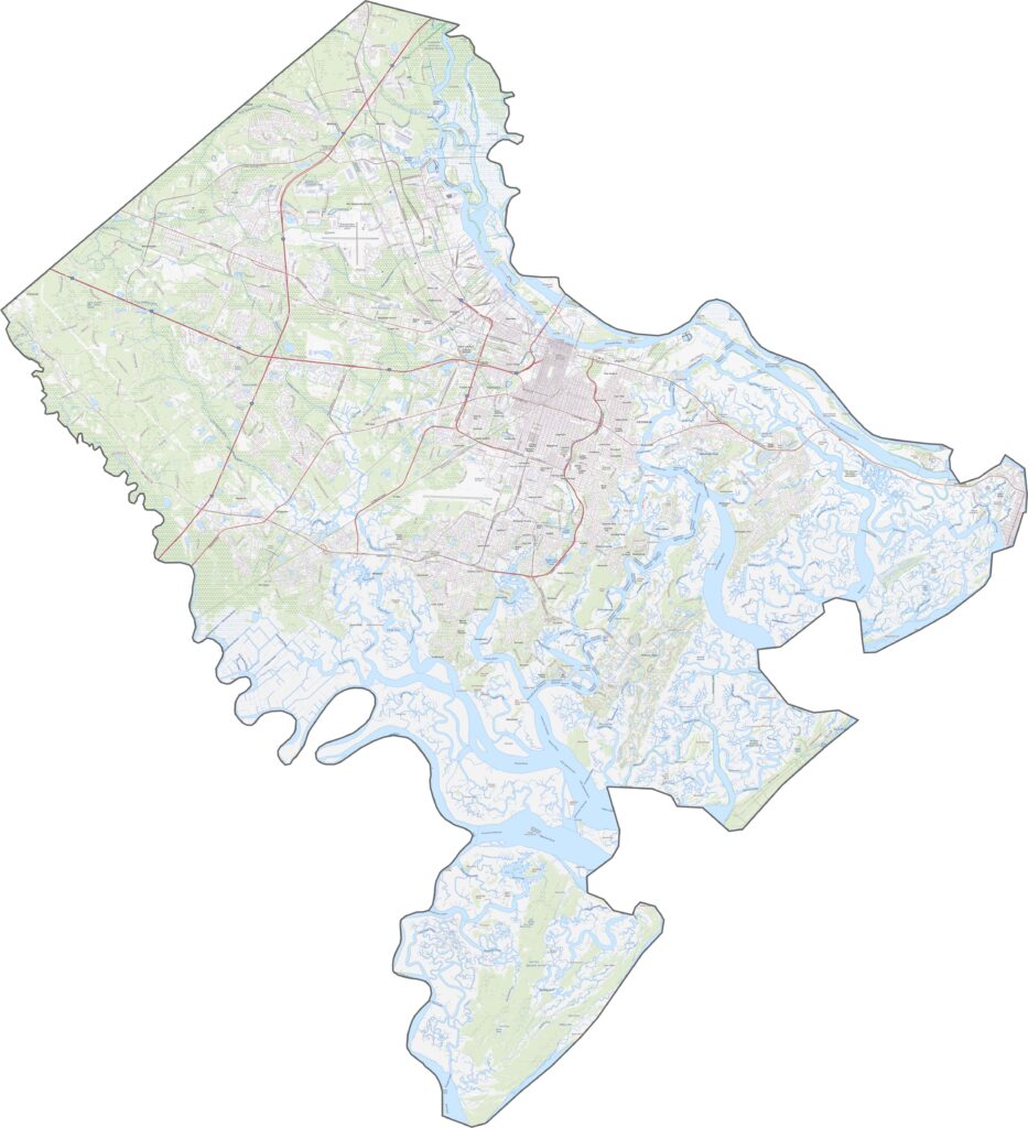
This topographic map highlights the gently rolling landscape of Bibb County, shaped by the Ocmulgee River and its surrounding valley. Macon is situated where several creeks converge before joining the Ocmulgee, making waterways a defining feature of the county’s geography. Explore the map using the zoom tool to get a closer look at the area’s rivers, lakes, parks, and natural landmarks.
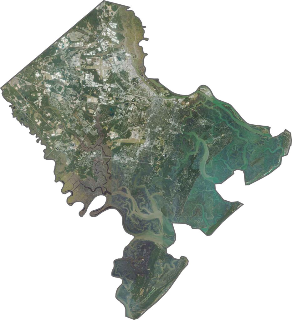
This topographic map highlights the gently rolling landscape of Bibb County, shaped by the Ocmulgee River and its surrounding valley. Macon is situated where several creeks converge before joining the Ocmulgee, making waterways a defining feature of the county’s geography. Explore the map using the zoom tool to get a closer look at the area’s rivers, lakes, parks, and natural landmarks.








Now available! Our Georgia county map highlights all 159 counties with exceptional detail and clarity. Whether you're exploring geography, planning a trip, or learning more about the Peach State, this comprehensive map is the resource you've been looking for. Discover Georgia like never before and explore every corner of the state.