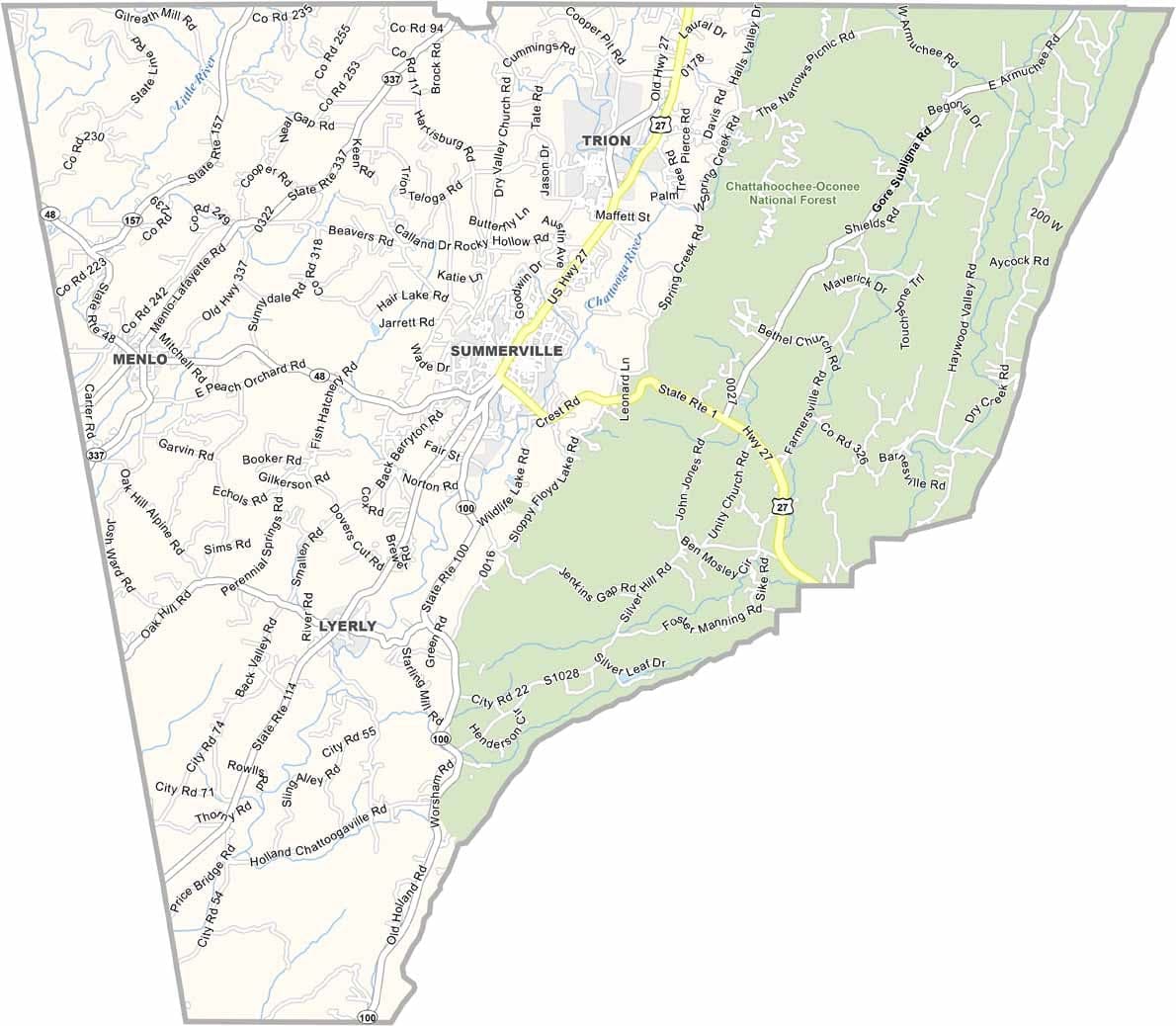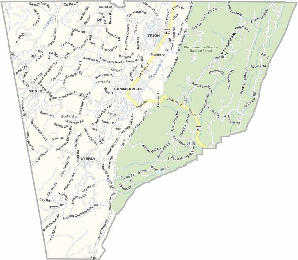
Chattooga County, Georgia

Chattooga County is located in northwestern Georgia along the Alabama border. Summerville serves as the county seat and remains the center of community life in this scenic corner of the state. The county takes its name from the Chattooga River, which forms part of its northern boundary.

While agriculture once dominated the local economy, manufacturing now plays a major role, with Mohawk Industries serving as one of the area's largest employers. Positioned at the southern edge of the Appalachian Mountains, the county features rolling hills, valleys, and picturesque landscapes.

Outdoor recreation is a popular part of life in Chattooga County. James H. “Sloppy” Floyd State Park attracts visitors with its hiking trails, campsites, and natural beauty.


Printable Stone County Missouri location map showing county location and boundaries
Category Details
County Name Chattooga County
County Seat Summerville
Cities, Towns, and Communities Summerville, Trion, Menlo, and several unincorporated areas
Interstates and Highways US 27, US 41, State Route 48, State Route 100
Etymology Named after the Chattooga River, which forms part of the county’s northern border
FIPS Code 13-055
Total Area (Land and Water) 313 square miles (land: 309 sq mi, water: 4 sq mi)
Time Zone Eastern Time Zone (ET)
State Georgia
Coordinates 34.4735° N, 85.3380° W
Major Landmarks Chattooga River, James H. “Sloppy” Floyd State Park, and Summerville Depot
Adjacent Counties (and Direction) Walker County (North), Floyd County (Southeast), Cherokee County, Alabama (West), DeKalb County, Alabama (West)
Population Approximately 25,000
Scroll to Top