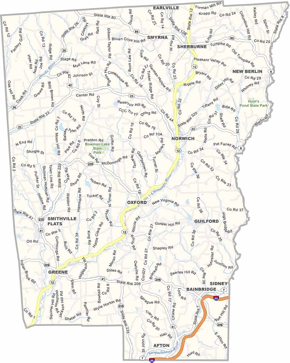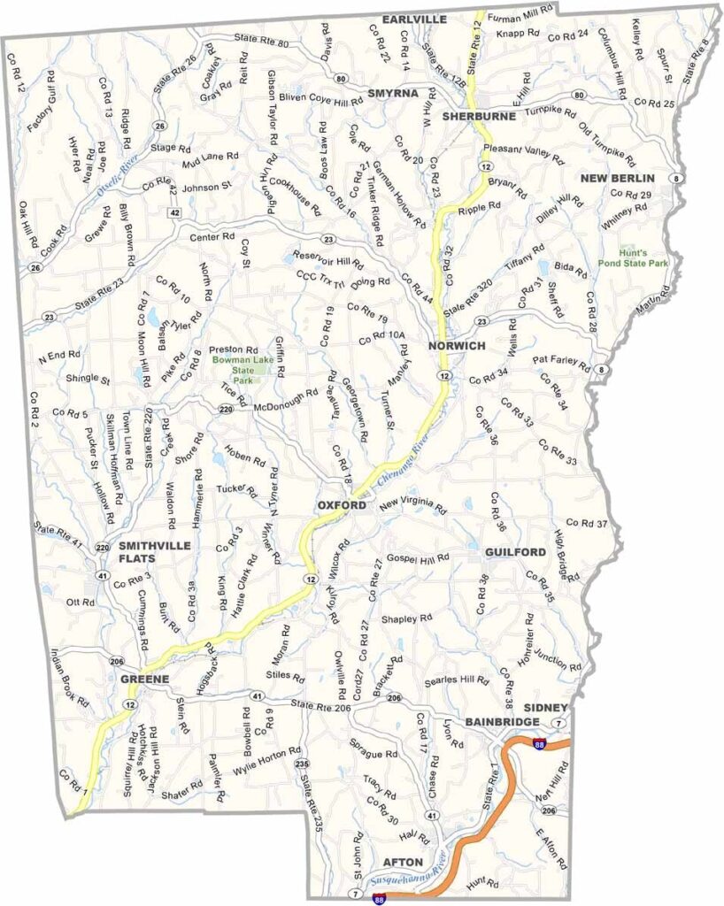
Chenango County Map, New York

Chenango County, New York

The rolling hills of central New York hide a gem: Chenango County. Norwich, the picturesque county seat, is home to a surprising array of museums, including the Northeast Classic Car Museum, a must-visit for anyone interested in classic cars.

The Chenango River Valley offers some of the best canoeing in the state. It's dairy country, with farms as far as the eye can see, and the area has a rich Native American history. People come to the Rogers Environmental Education Center for hiking and bird watching.

Blues fans know about the Chenango Blues Festival, a summer highlight. The county has an impressive two state parks, Hunt's Pond and Bowman Lake, within its borders. Small towns like Oxford and Sherburne preserve a piece of rural Americana.
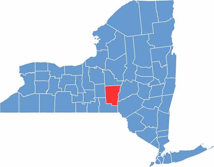

Chenango County location map of New York
CategoryDetails
County NameChenango County
County SeatNorwich
EtymologyNamed after the Oneida word “Chenango,” meaning “big bull-thistle”
Cities, Towns, and CommunitiesNorwich, Greene, Sherburne, Oxford, Bainbridge, New Berlin
Interstates and HighwaysNew York State Route 12, New York State Route 23, New York State Route 206
FIPS Code36-017
Total Area (Land and Water)899 square miles (894 sq mi land, 5 sq mi water)
Adjacent Counties (and Direction)Madison County (North), Otsego County (Northeast), Delaware County (Southeast), Broome County (South), Cortland County (West)
Time ZoneEastern Time Zone (ET)
StateNew York
Coordinates42.5483° N, 75.5205° W
Major LandmarksChenango Valley State Park, Northeast Classic Car Museum, Rogers Environmental Education Center
PopulationApproximately 47,000
Scroll to Top