
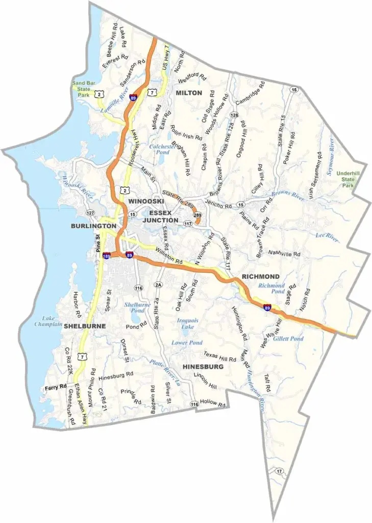
Chittenden County is the most populous county in Vermont. It hugs the eastern shore of Lake Champlain in the northwestern part of the state. Burlington, Vermont’s biggest city, calls the county home and serves as a hub for culture, education, and commerce.
The University of Vermont’s campus sprawls across a hill overlooking the lake, while Church Street Marketplace bustles with shoppers and street performers. You can even take a ferry across Lake Champlain to New York State.
The food scene in Chittenden County highlights local ingredients, while Shelburne Museum houses an eclectic collection of Americana. Hiking and biking trails are everywhere, and nearby ski resorts draw visitors in winter. It’s a place where urban life meets rural Vermont in true Vermont style.
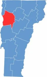
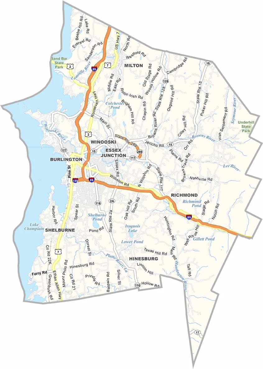
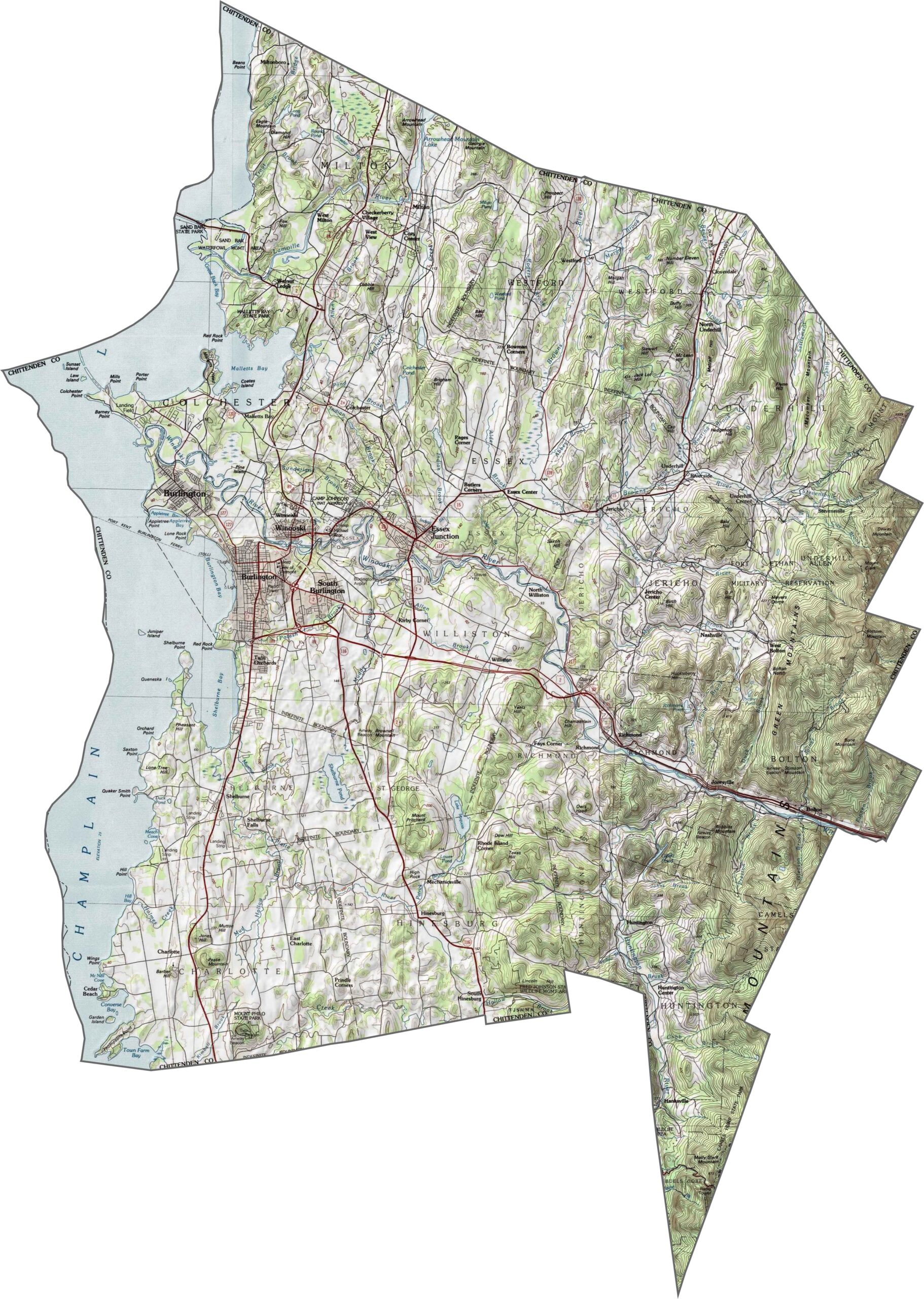
Chittenden County has a mix of mountain ridges and lowland valleys. The Green Mountains rise along the eastern side, while the land flattens toward Lake Champlain in the west. See it all in our map below.
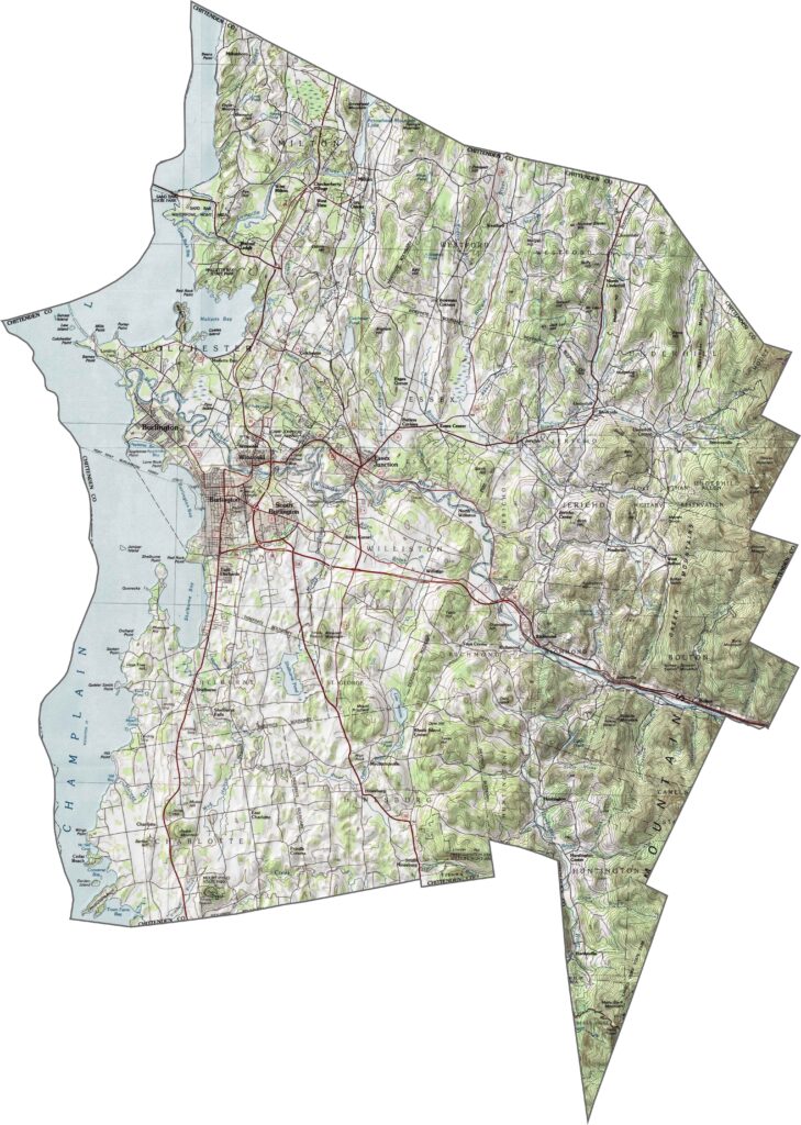
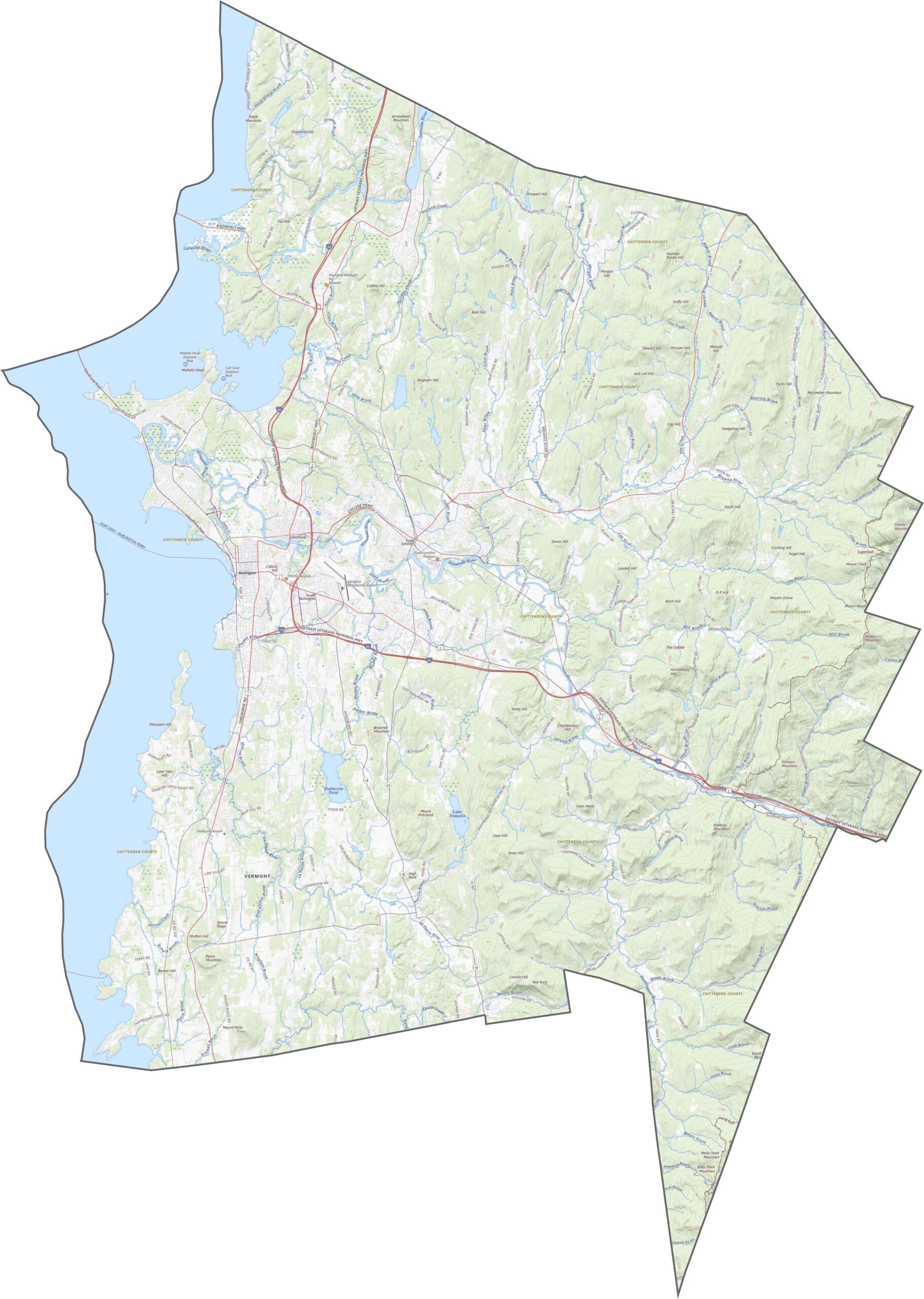
Chittenden County has a dense and active highway network. Interstate 89 slices through the area, connecting key communities along the way. Use our zoom tool to explore every twist and turn across the map.
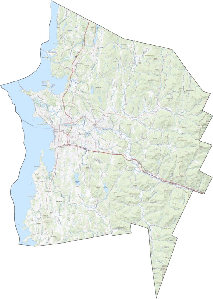
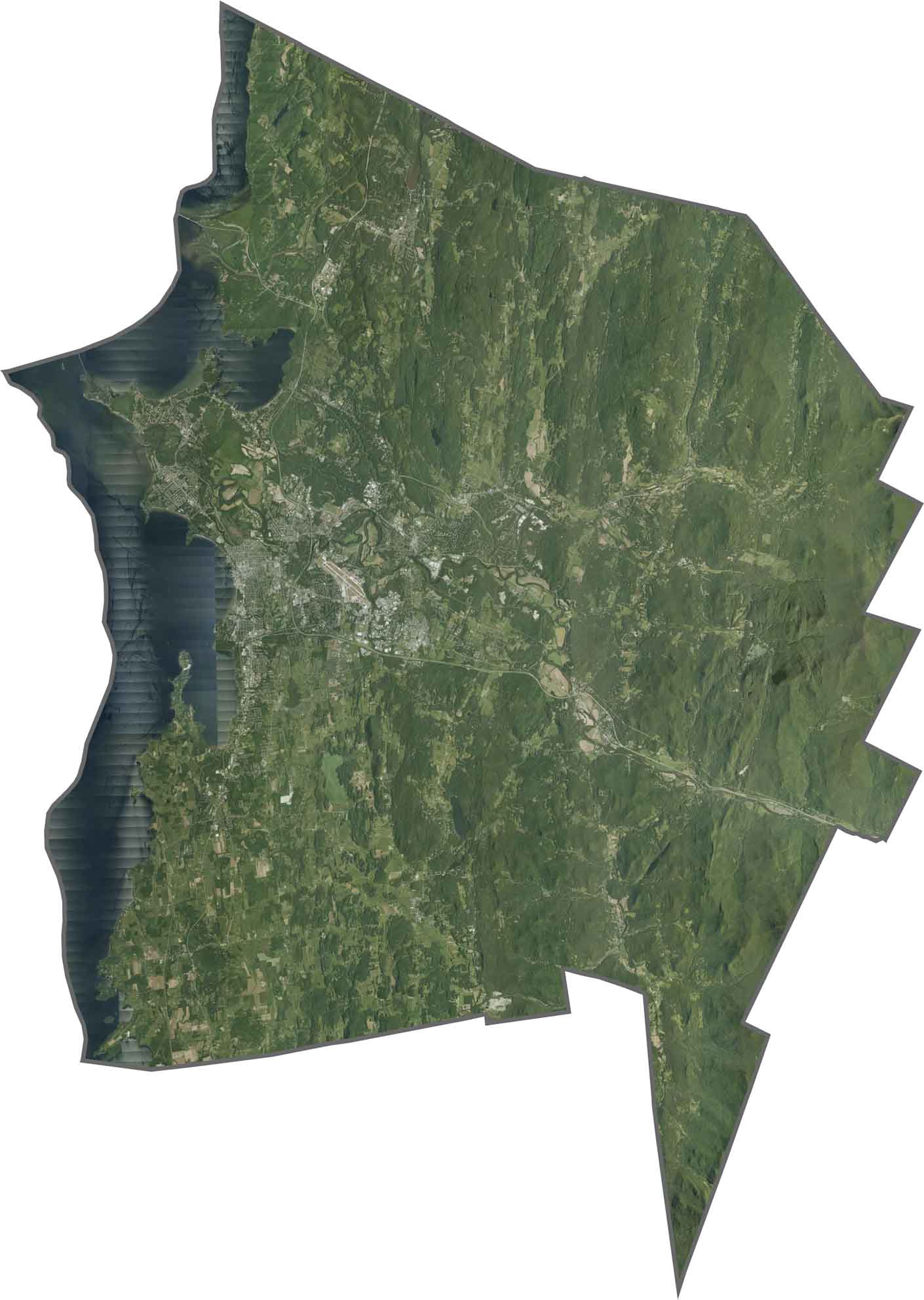
The lake steals the spotlight in our satellite map. Lake Champlain forms a wide, dark western edge, with Burlington appearing as a dense patch beside it. Forested areas dominate the east, while farmland breaks up the landscape near the center.
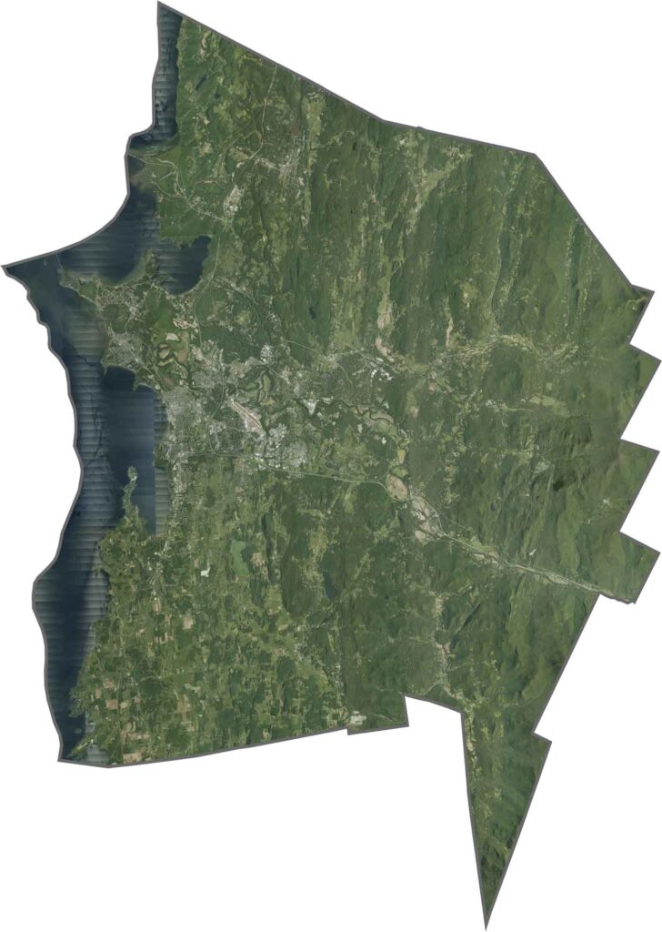
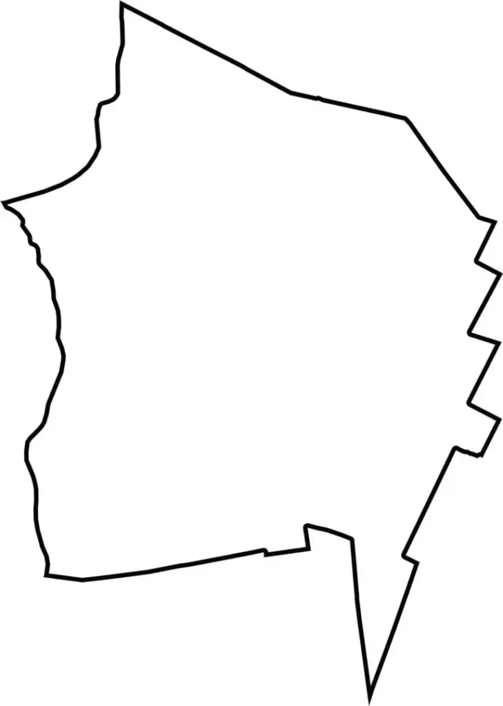
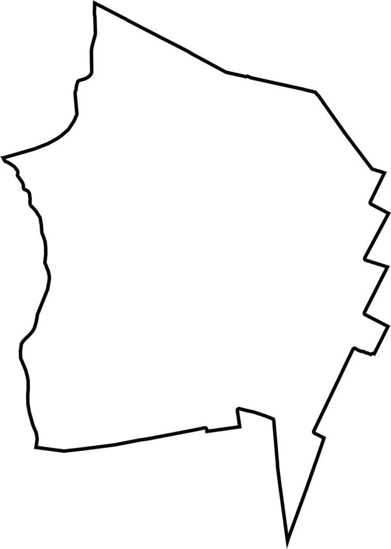
Chittenden County has an irregular shape, but its western boundary stretches along Lake Champlain. It sits in the western part of Vermont and borders New York across the lake.
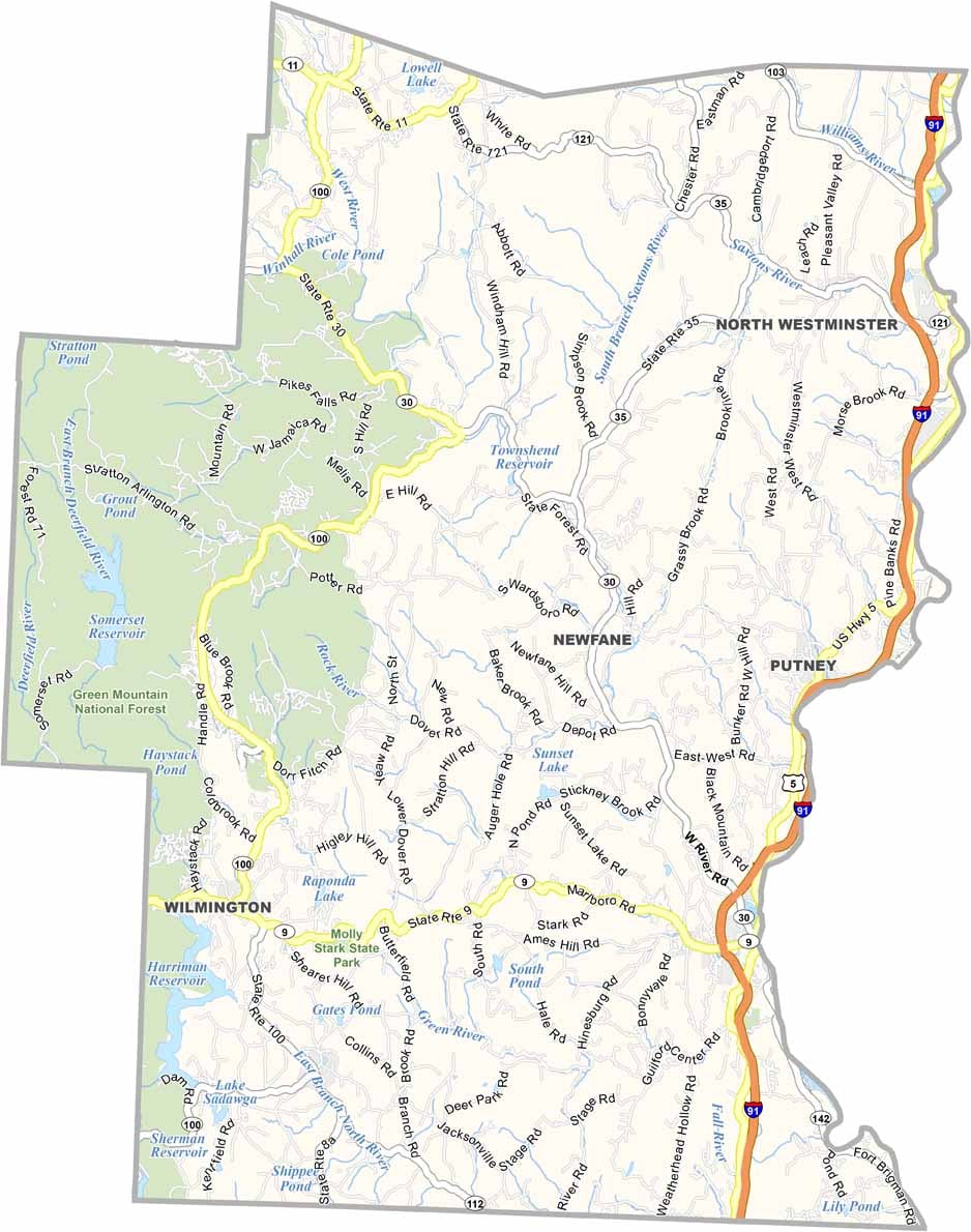
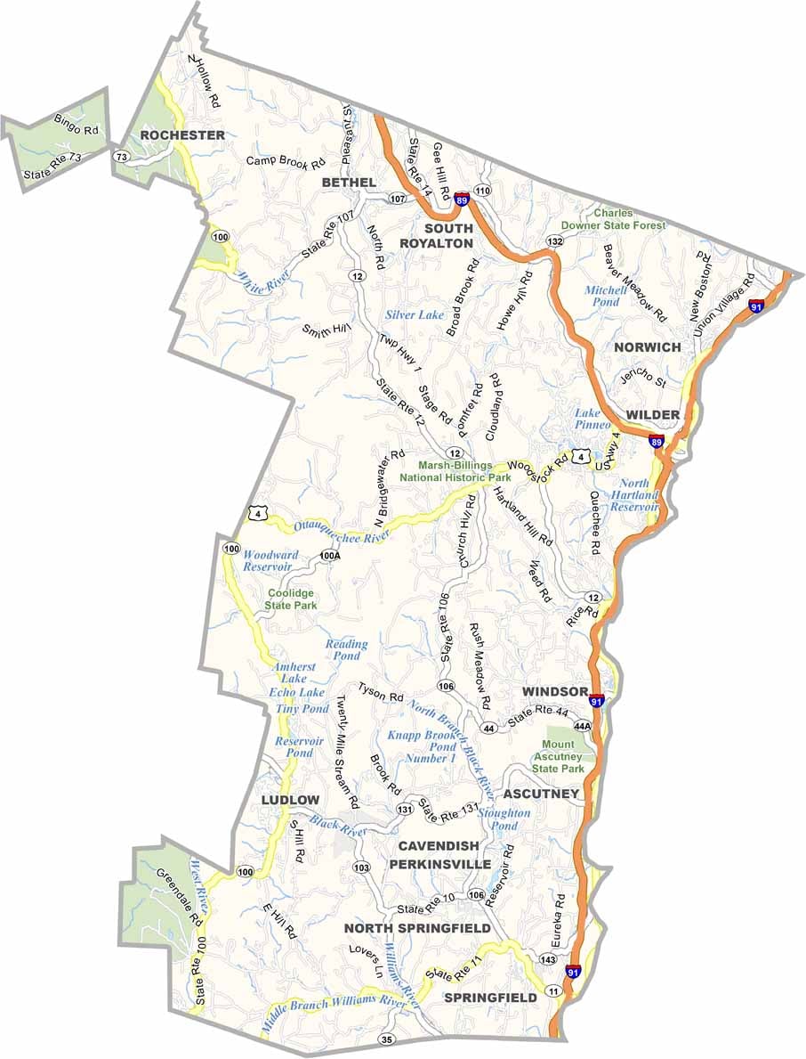
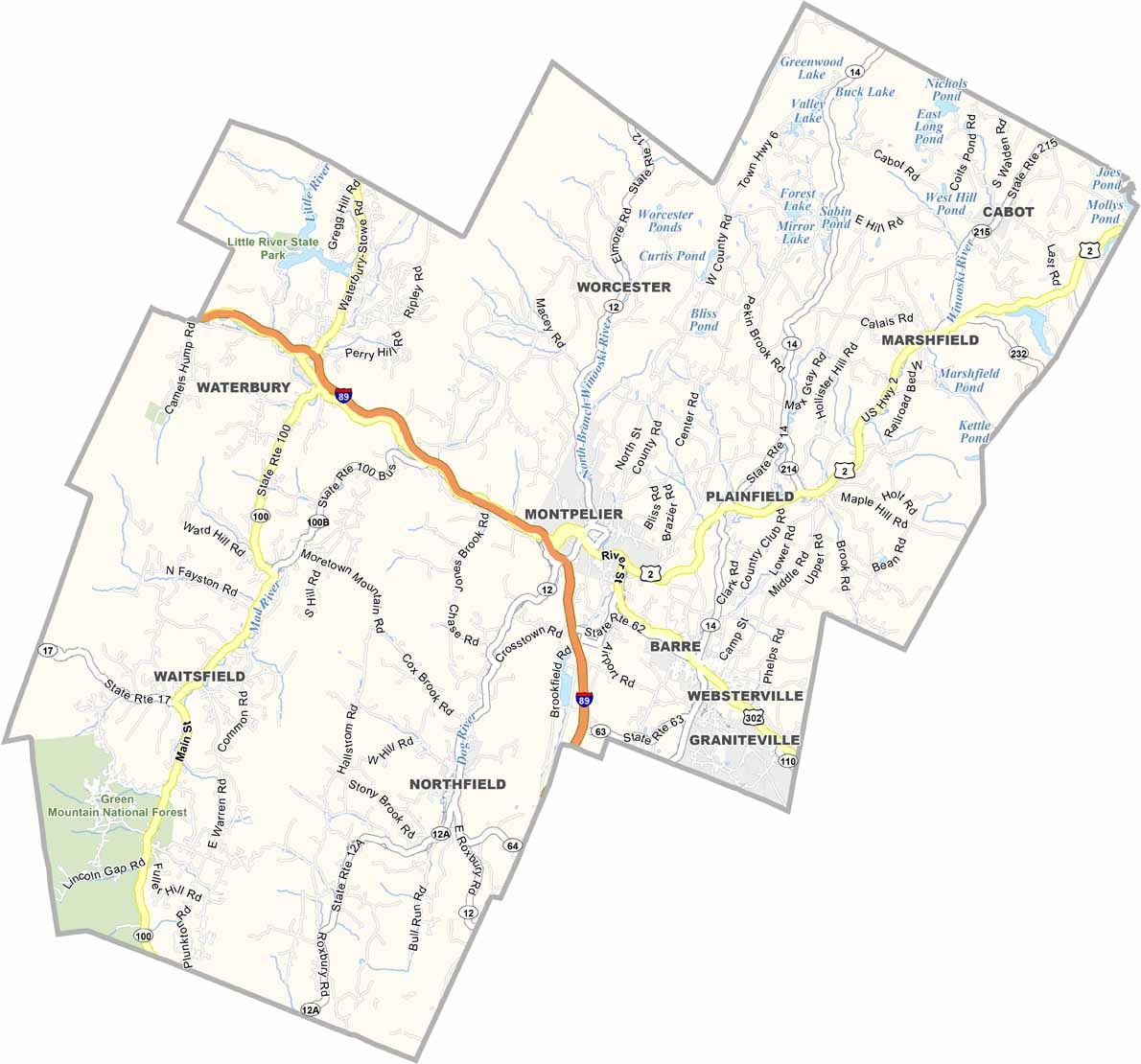
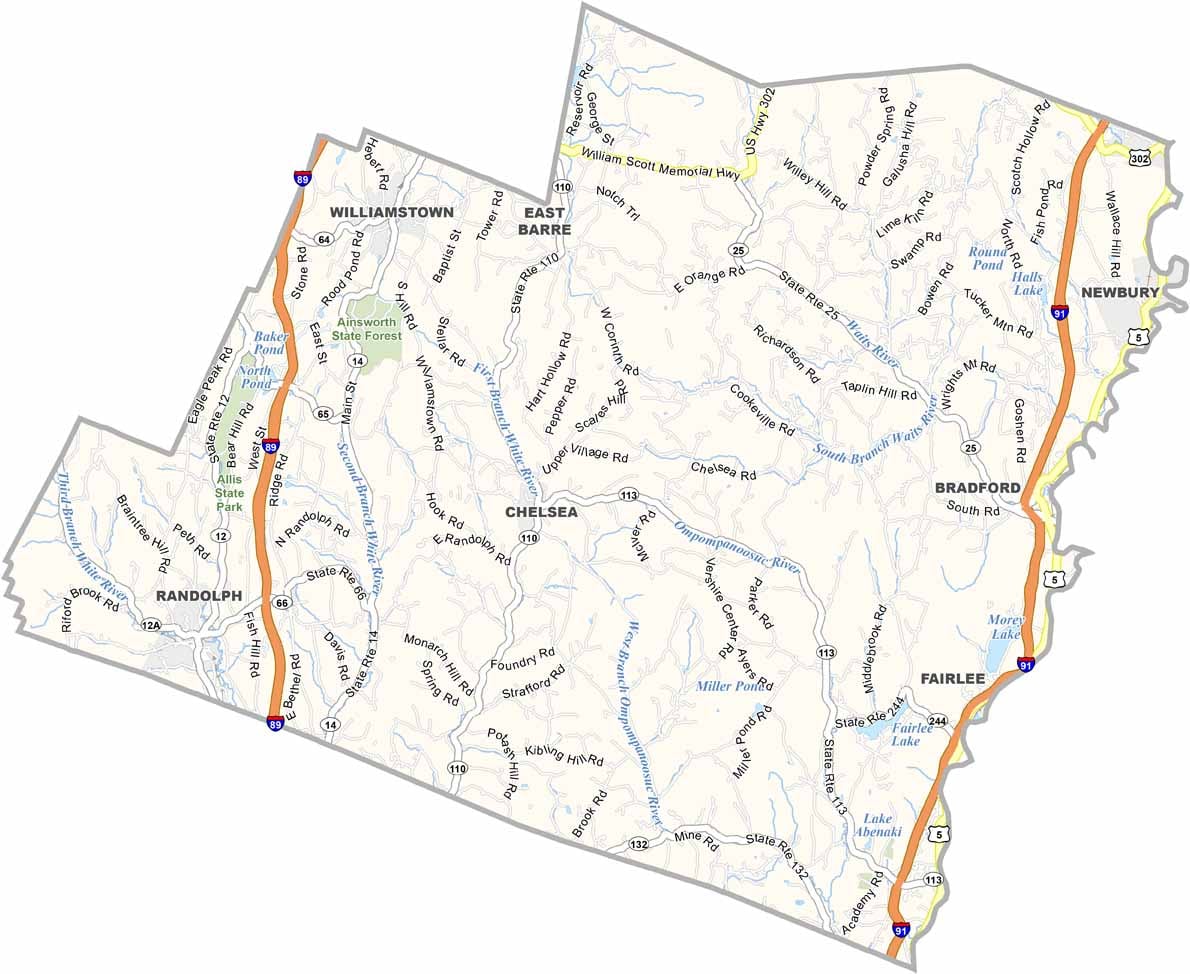

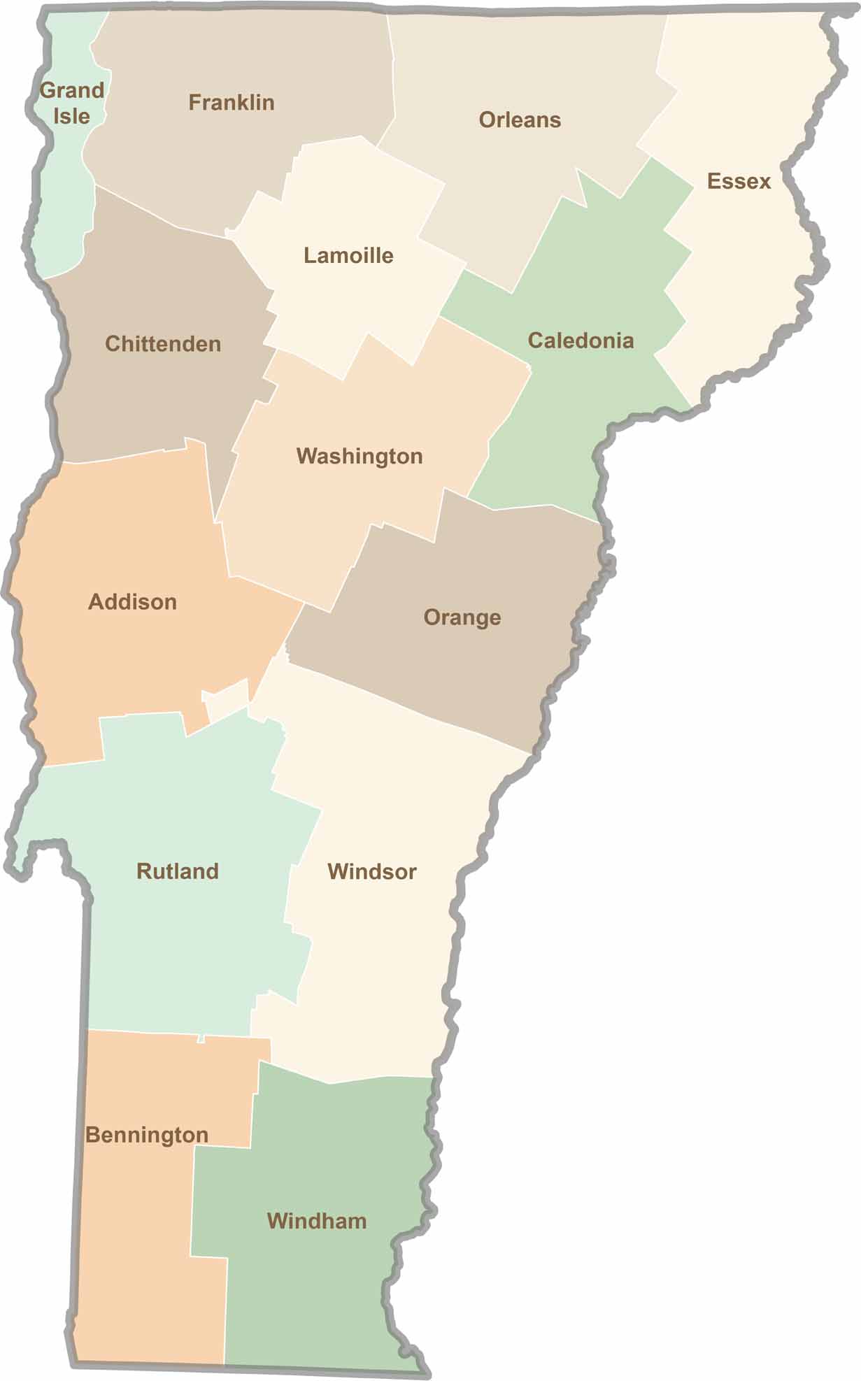
Vermont’s 14 counties keep things simple. Some roll across green hills and covered bridges, while others climb into cold, quiet mountains. There’s maple in the air throughout the Green Mountain State.