
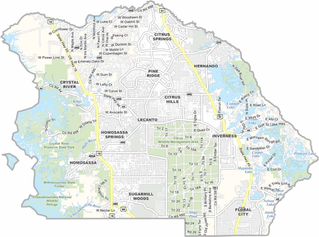
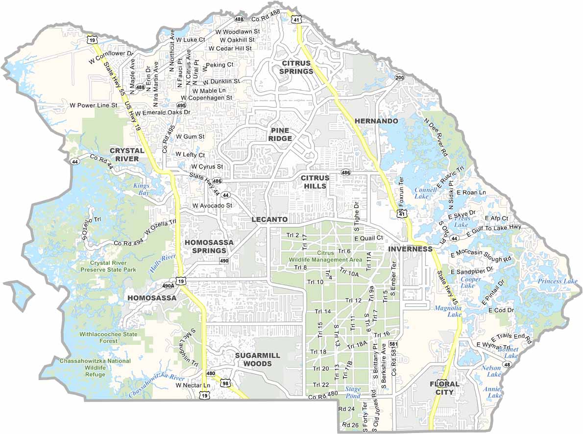
Citrus County is located along Florida’s Nature Coast, offering a slower-paced atmosphere that reflects the charm of old Florida. Nature remains a major part of the area’s appeal, with plenty of outdoor attractions and golf courses that draw both retirees and visitors.
Homosassa Springs Wildlife State Park is a popular local attraction, known for its clear freshwater springs and manatees. Nearby Crystal River is also well known for opportunities to swim with manatees, making the area a favorite for wildlife enthusiasts and nature lovers.
The Withlacoochee State Forest provides opportunities for hiking, camping, and exploring nature. Fishing and boating are also popular activities thanks to the nearby Gulf waters and rivers. Inverness, the county seat, adds to the county’s appeal with its charming historic downtown.
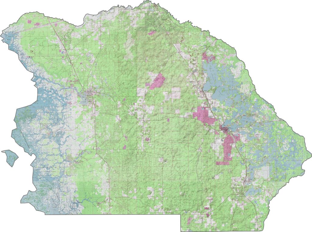
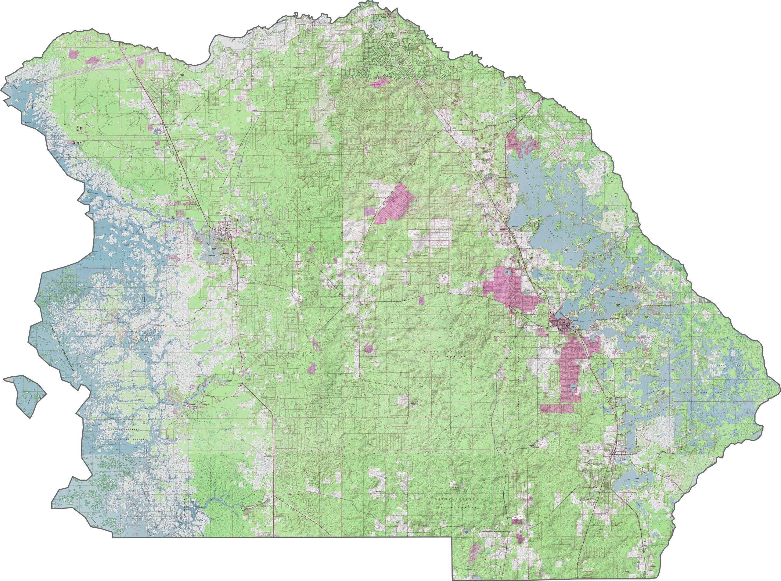
Zoom in to explore our Citrus County topographic map, featuring the area’s numerous freshwater springs and the distinctive Tsala Apopka chain of lakes. Crystal River Preserve State Park and its well-known manatee habitats are also prominent features of the map.
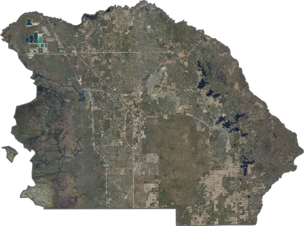
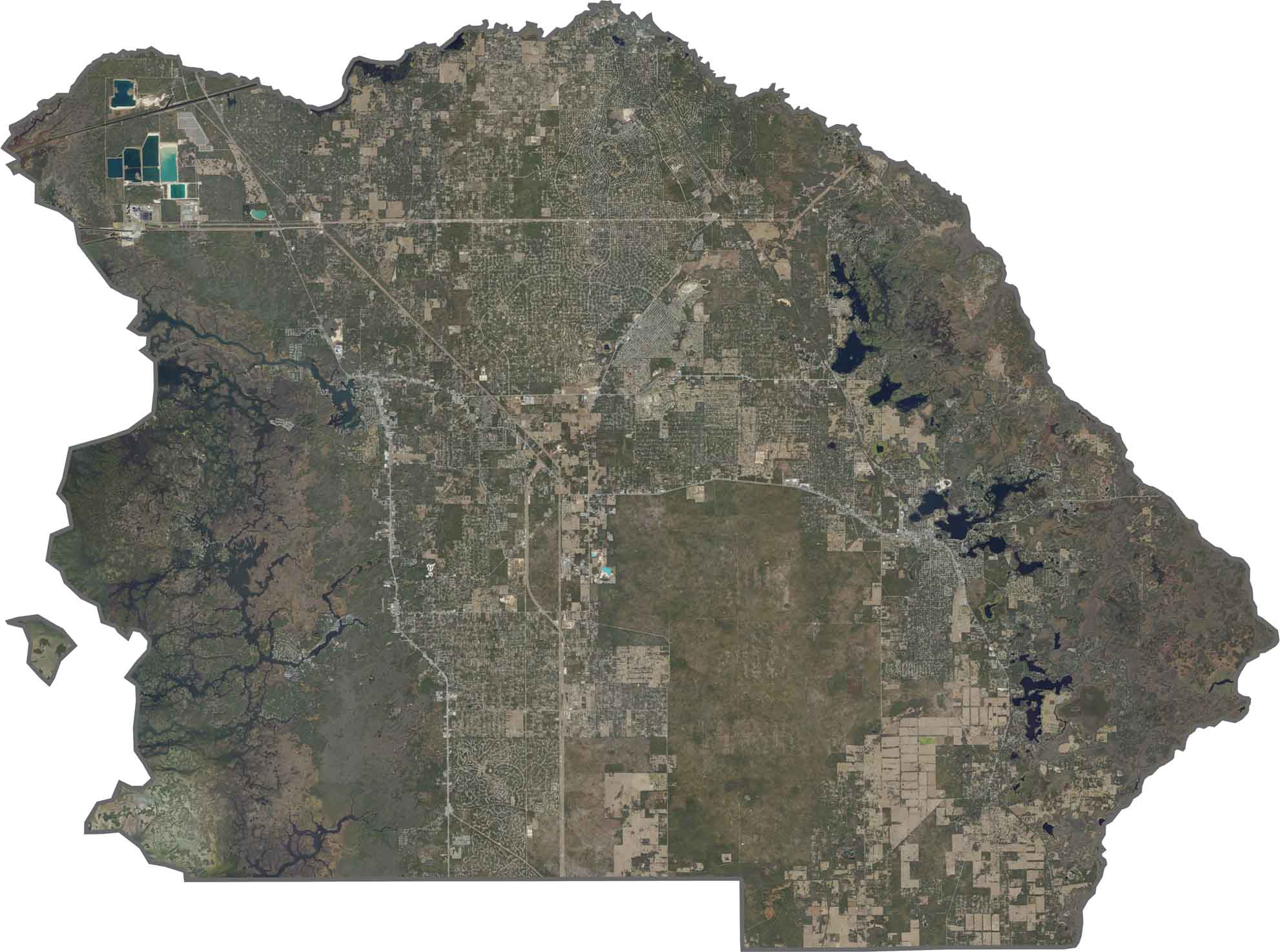
Our Citrus County satellite map shows the extensive Crystal River wetlands covering much of the western portion of the county. Inverness is situated among the lakes of the Tsala Apopka chain, while the Withlacoochee River creates a natural boundary along the eastern side.
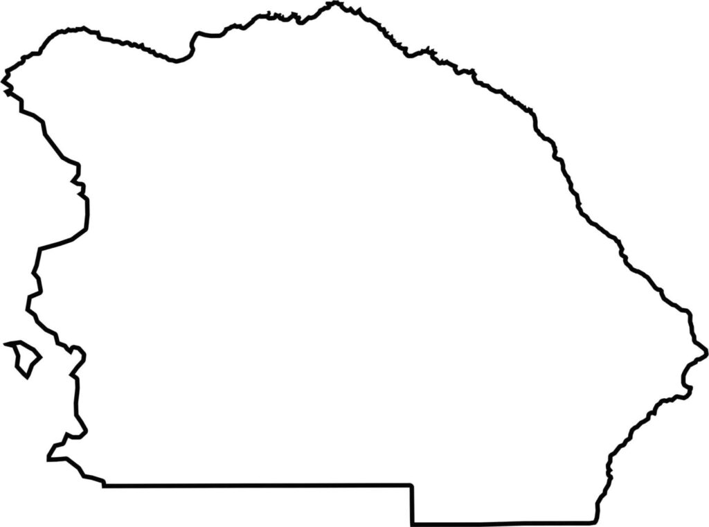
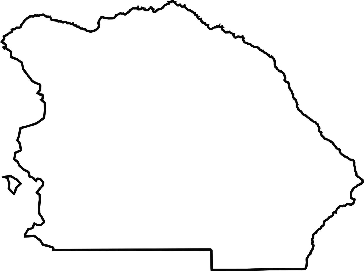
Our Citrus County outline map highlights the county’s irregular shape, including numerous bays and inlets along the Gulf Coast. The Withlacoochee River forms much of the eastern boundary, while the county expands toward the south, where it borders Hernando County.







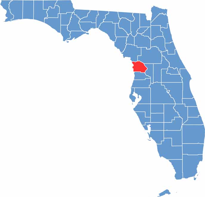
Looking for a county map of Florida? Our Florida County Map breaks down all 67 counties across the Sunshine State. Explore Florida through detailed topographic, satellite, and outline maps to better understand its geography, landscapes, and county boundaries.