
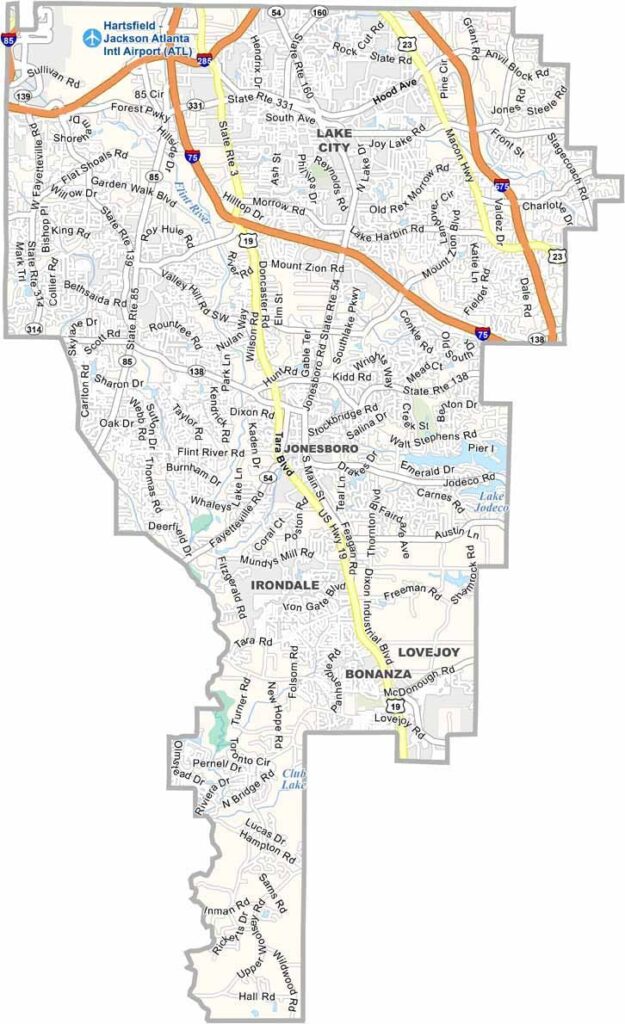
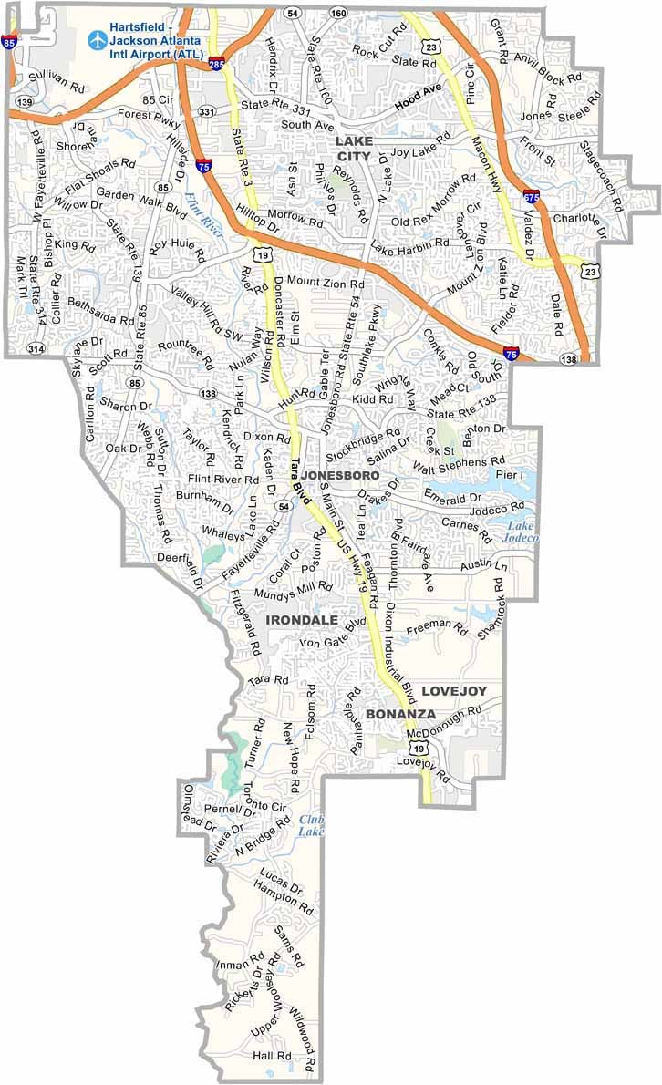
Clayton County is located just south of Atlanta, where suburban communities and urban development meet. Jonesboro serves as the county seat and is known for its connection to Margaret Mitchell’s “Gone with the Wind” and the area’s Civil War-era history.
The county is best known today for its connection to Hartsfield-Jackson Atlanta International Airport, one of the world’s busiest airports. The airport provides jobs and economic activity but also contributes to noise, traffic, and continued development. Clayton County is home to longtime residents, airport workers, commuters, and travelers passing through the region.
Named after Augustin Smith Clayton, a judge and congressman, the county has changed significantly over the years. Once largely rural, it is now a diverse suburban area closely connected to the Atlanta metropolitan region. Despite its challenges, Clayton County has developed a strong and resilient community character.
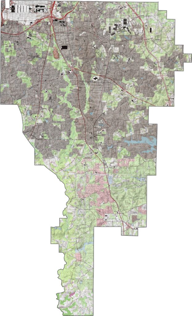
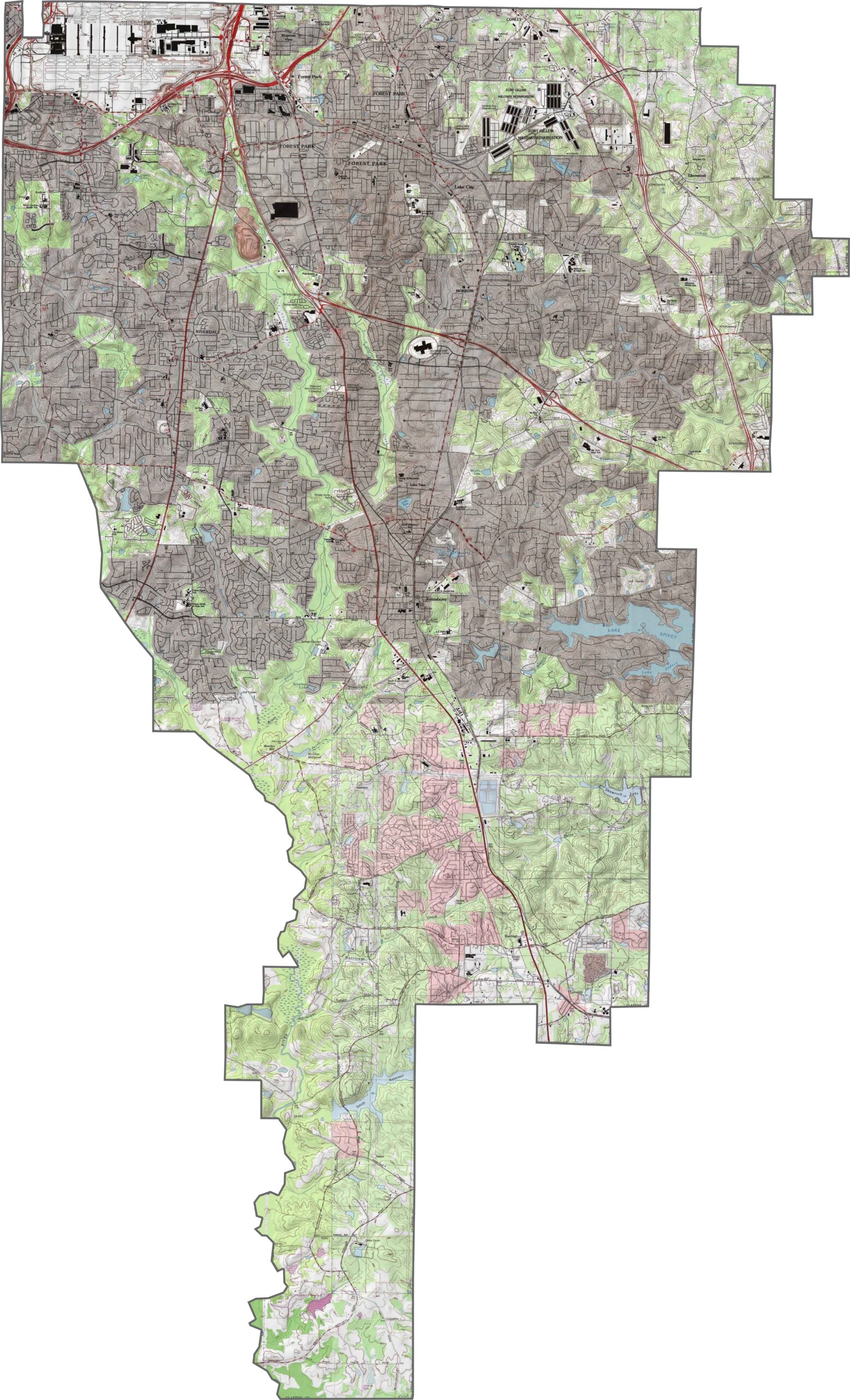
Our Clayton County topographic map displays varied elevations across the Flint River watershed. Jonesboro sits on relatively high ground near the center of the county. Use our zoom tool to explore the neighborhoods and terrain throughout Clayton County.
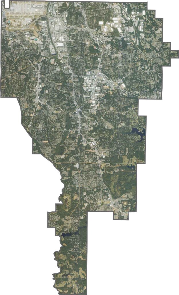
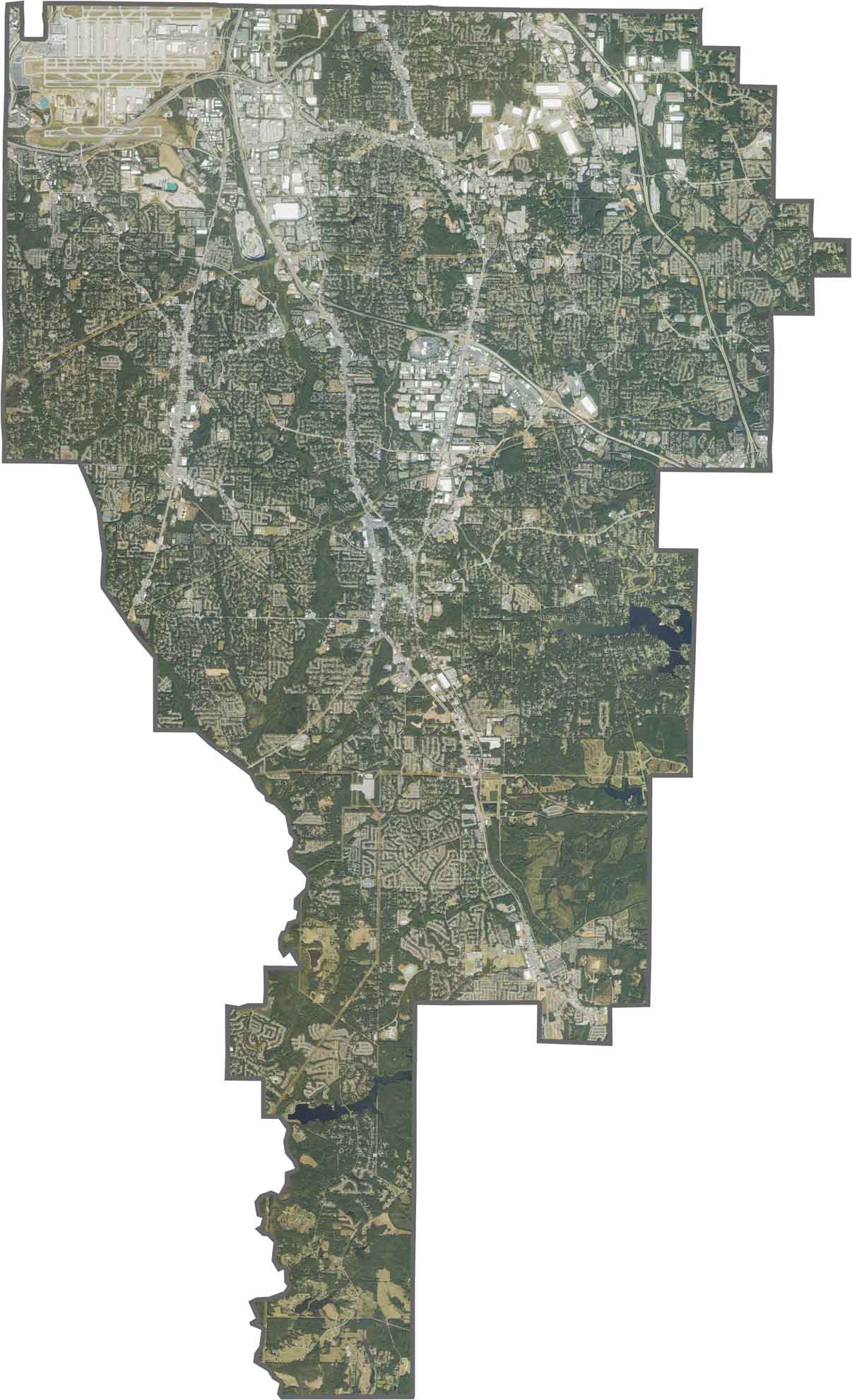
This satellite map shows Clayton County’s mix of urban development and natural landscapes. Use our zoom tool to locate Hartsfield-Jackson Atlanta International Airport in the northwestern corner. The northern section features dense commercial corridors and transportation hubs, while the southern areas contain more residential neighborhoods, forests, and small lakes.
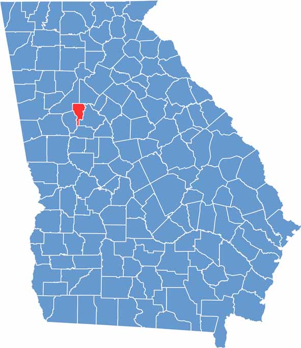
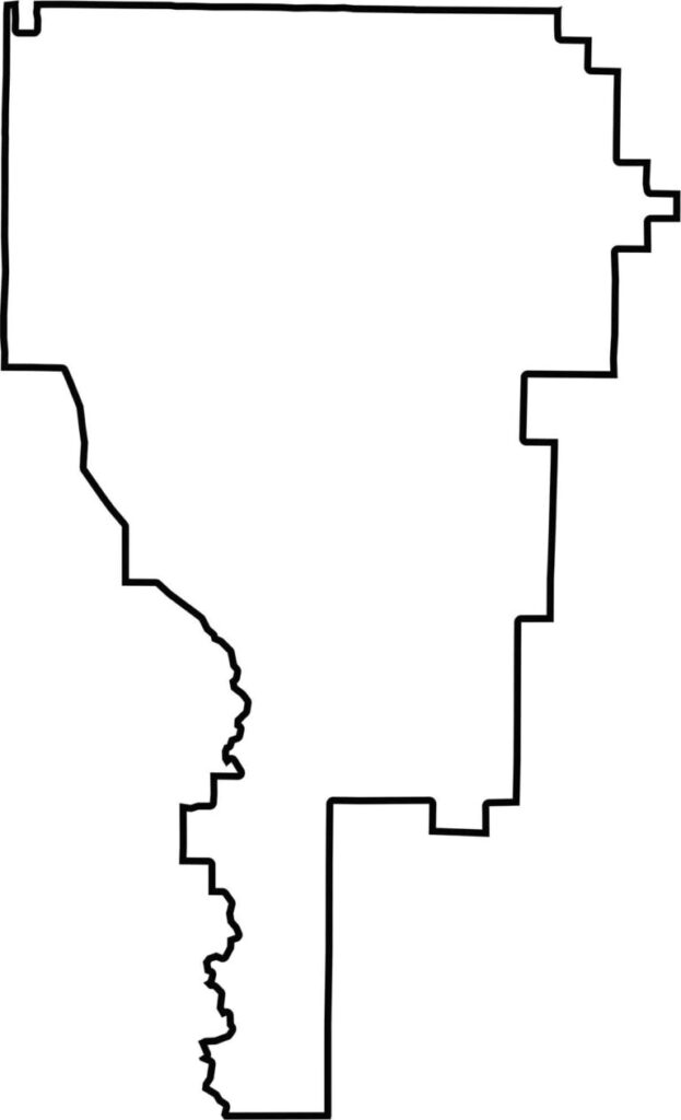
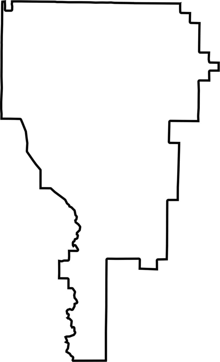
Clayton County is elongated from north to south and sits just south of Atlanta in the heart of the Georgia metropolitan area. Its boundaries are mostly straight, with a few minor irregularities, particularly along the southwestern edge.







Now available! Our Georgia county map highlights all 159 counties with exceptional detail and clarity. Whether you're exploring geography, planning a trip, or learning more about the Peach State, this comprehensive map is the resource you've been looking for. Discover Georgia like never before and explore every corner of the state.