
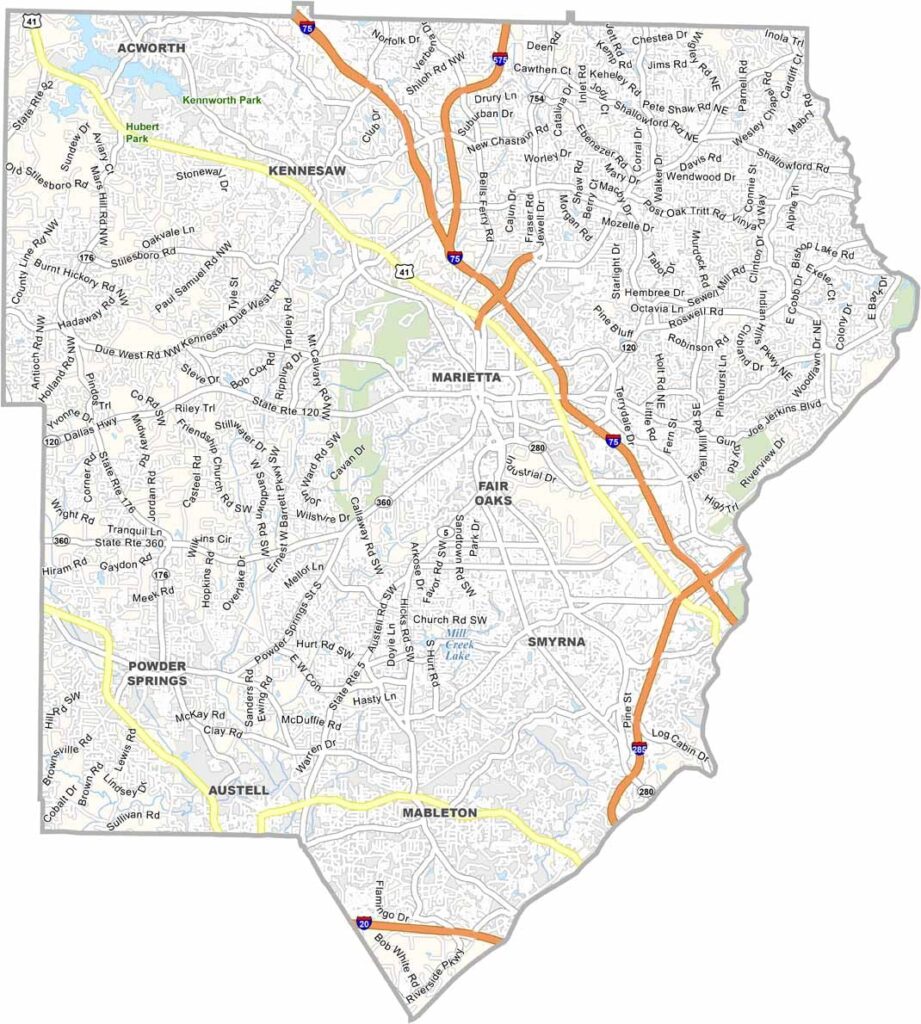
Cobb County sits just north of Atlanta, where suburban communities have steadily expanded into areas that were once more rural. Marietta serves as the county seat and has a distinct local character, including the famous Big Chicken landmark.
The Chattahoochee River forms much of the county’s eastern border, providing a natural contrast to the surrounding suburban development. Cobb County has become increasingly diverse and continues to attract Atlanta commuters, longtime residents, and newcomers from across the country.
The county is named after Thomas Willis Cobb, a former senator and political leader. Today, Cobb County blends historic sites, Civil War battlefields, major business districts, and modern attractions such as Truist Park, home of the Atlanta Braves. The result is a mix of established neighborhoods, growing suburbs, and large commercial centers closely tied to the Atlanta metropolitan area.
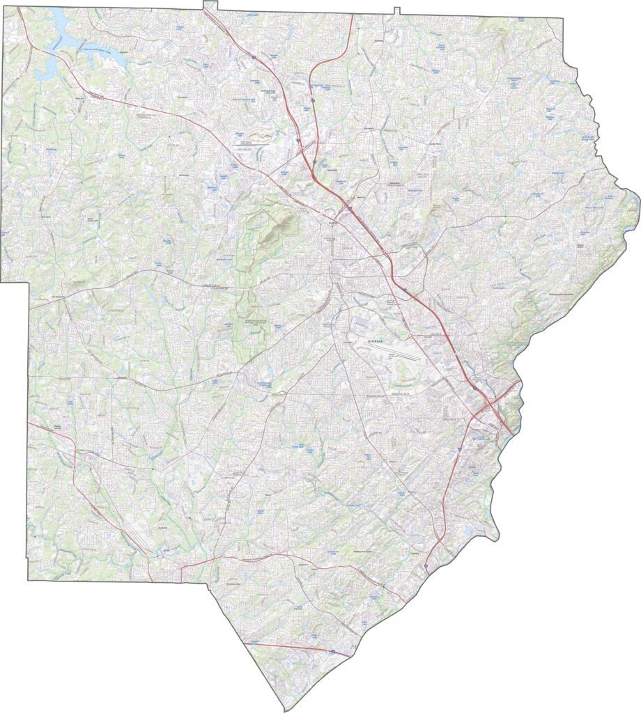
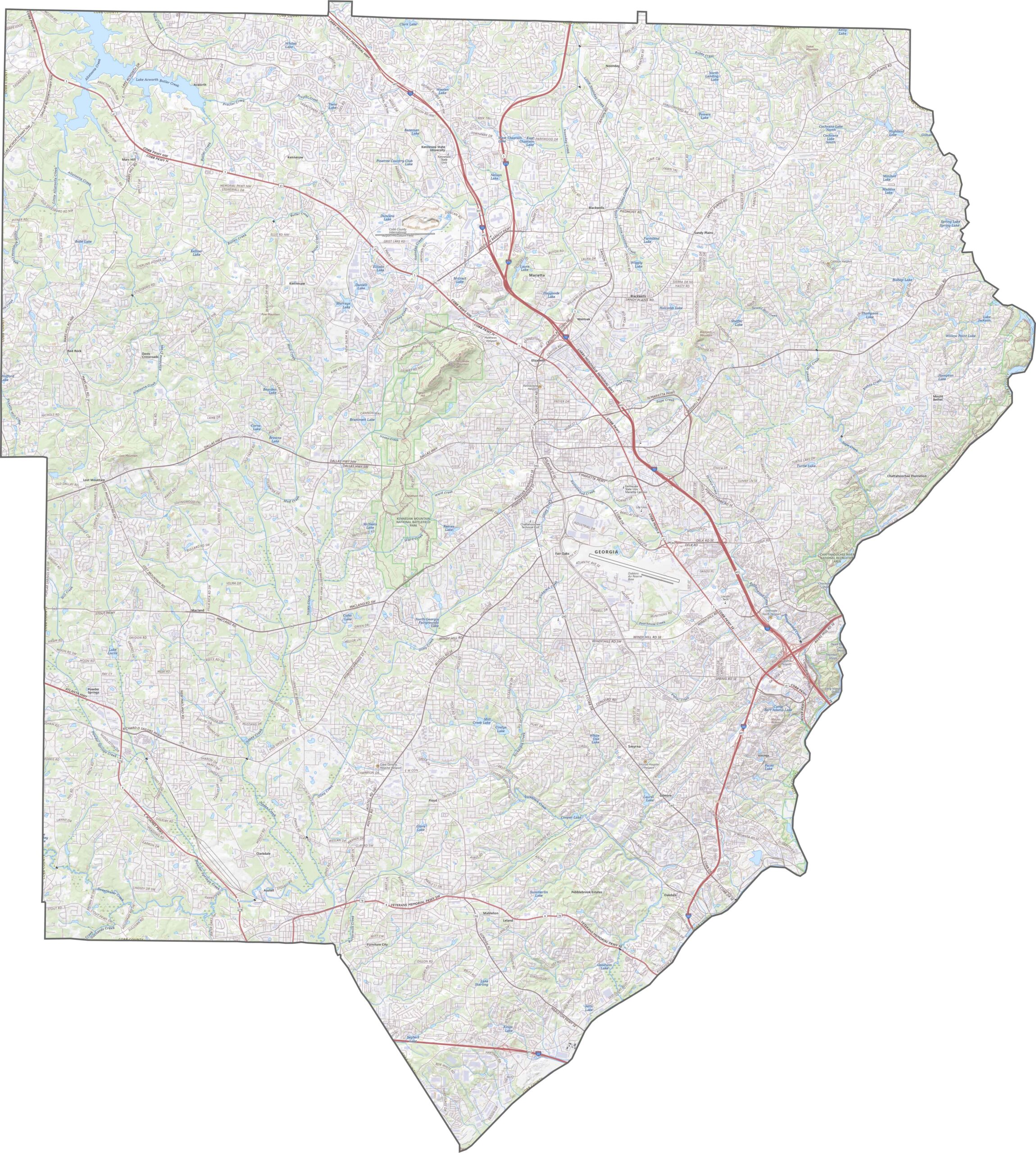
Our Cobb County road map features a new zoom tool that lets you explore the area in greater detail. Use it to examine the contours of Kennesaw Mountain rising near the center of the county. You can also trace the Chattahoochee River, which forms deep valleys along the southeastern border.
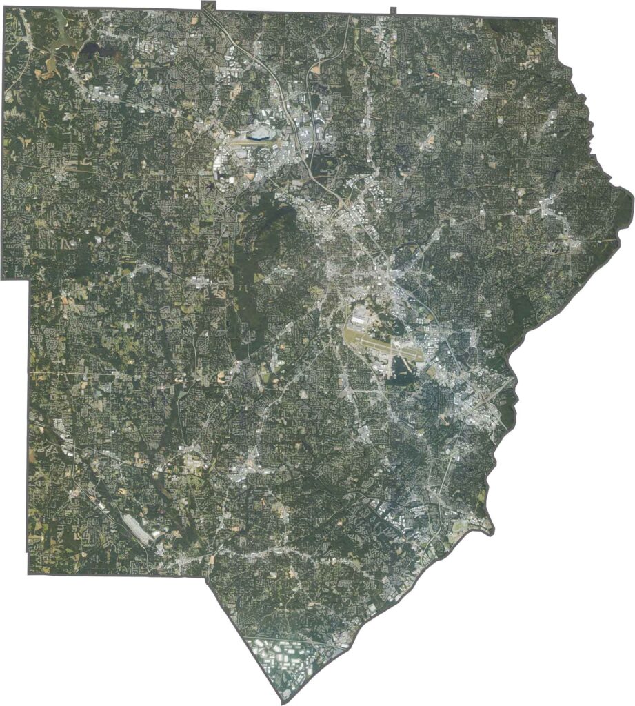
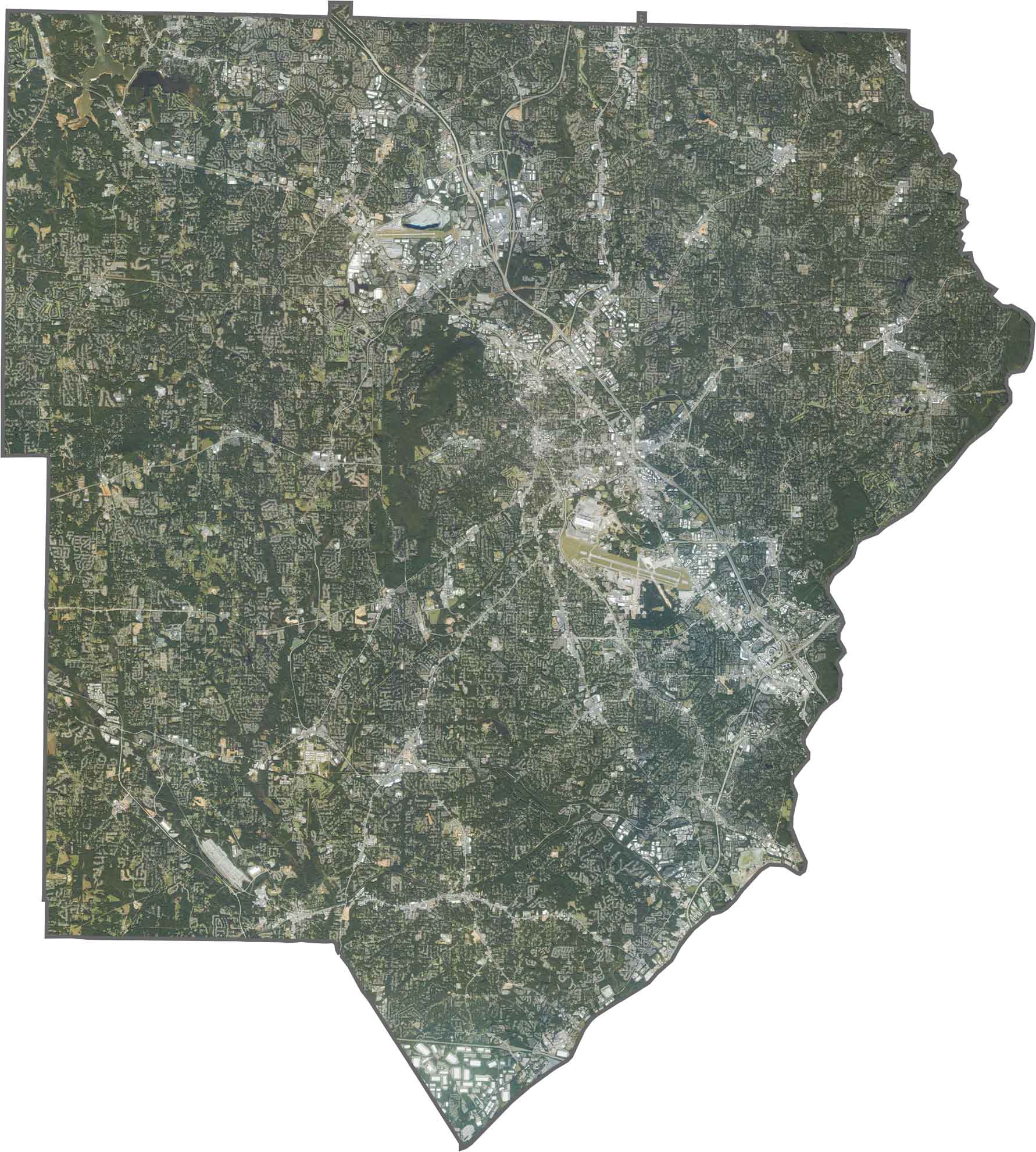
This satellite map highlights Cobb County’s dense urban development across much of the area. Marietta occupies a relatively elevated area, with several creeks winding through surrounding neighborhoods. The northeastern section includes the Cumberland business district, while the southern areas follow the Chattahoochee River and feature greenway parks and natural spaces.
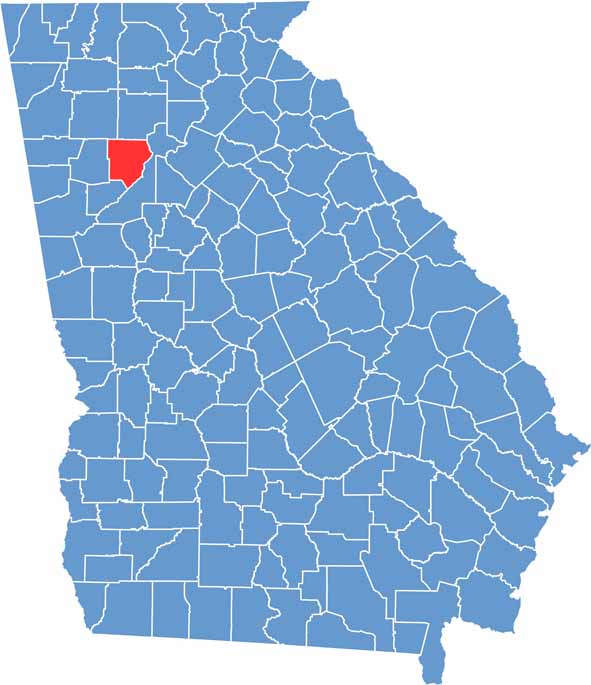
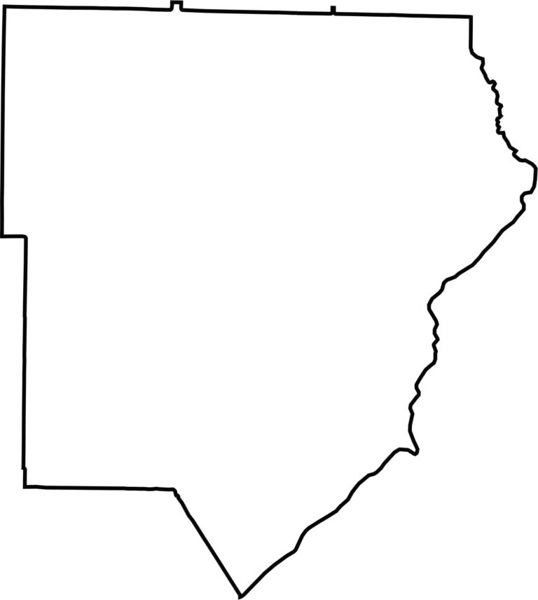
Located just northwest of Atlanta, Cobb County has boundaries shaped by a combination of straight county lines and natural features such as the Chattahoochee River. The county narrows toward its southern tip near the river’s bend, where it meets Fulton County.









Now available! Our Georgia county map highlights all 159 counties with exceptional detail and clarity. Whether you're exploring geography, planning a trip, or learning more about the Peach State, this comprehensive map is the resource you've been looking for. Discover Georgia like never before and explore every corner of the state.