
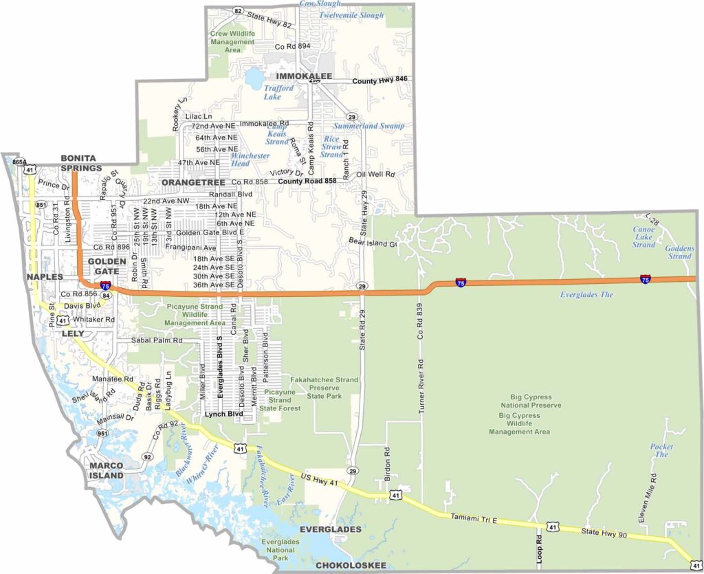
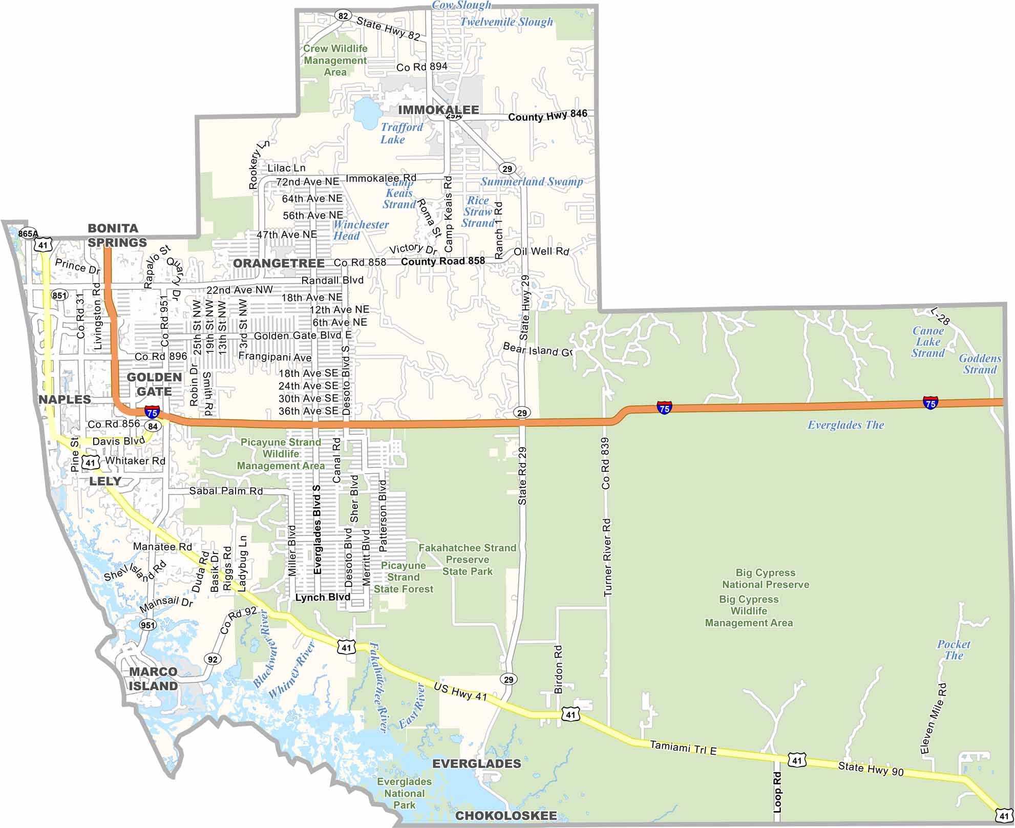
Collier County stretches across Southwest Florida, with Naples serving as its county seat and one of the area’s most well-known destinations. Famous for its white sand beaches, luxury lifestyle, and growing arts scene, Naples remains a major attraction along Florida’s Gulf Coast.
The county is home to diverse wildlife, including alligators, panthers, and other native species. Marco Island attracts visitors with its beautiful beaches, resorts, and waterfront activities. While Collier County includes affluent communities, it also features rural areas and farmland. Sport fishing and commercial fishing are important activities throughout the region.
Gulf Coast sunsets add to Collier County’s tropical appeal. The area’s history is closely connected to land development and tourism, while the Everglades cover a large portion of the eastern county. With its beaches, wildlife, wetlands, and tropical landscapes, Collier County offers a distinctive Southwest Florida experience.
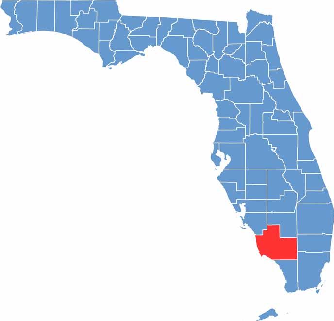
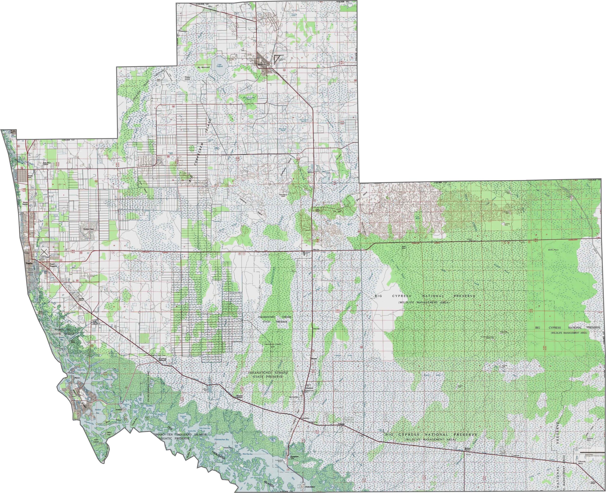
Collier County is among the flattest counties in Florida, with subtle elevation changes found across its diverse landscape. In the east, the Big Cypress Swamp features dome-shaped cypress stands, while the western coastal areas are characterized by mangroves and barrier islands. Use our zoom tool to explore these unique landscapes in greater detail.
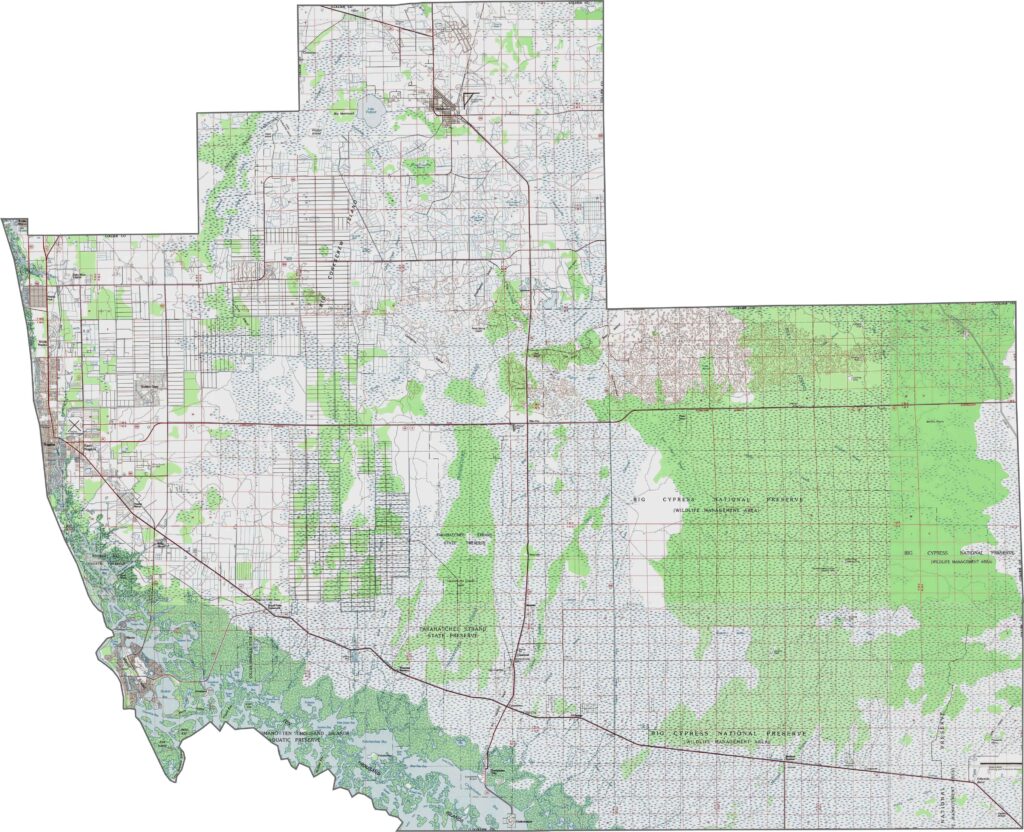
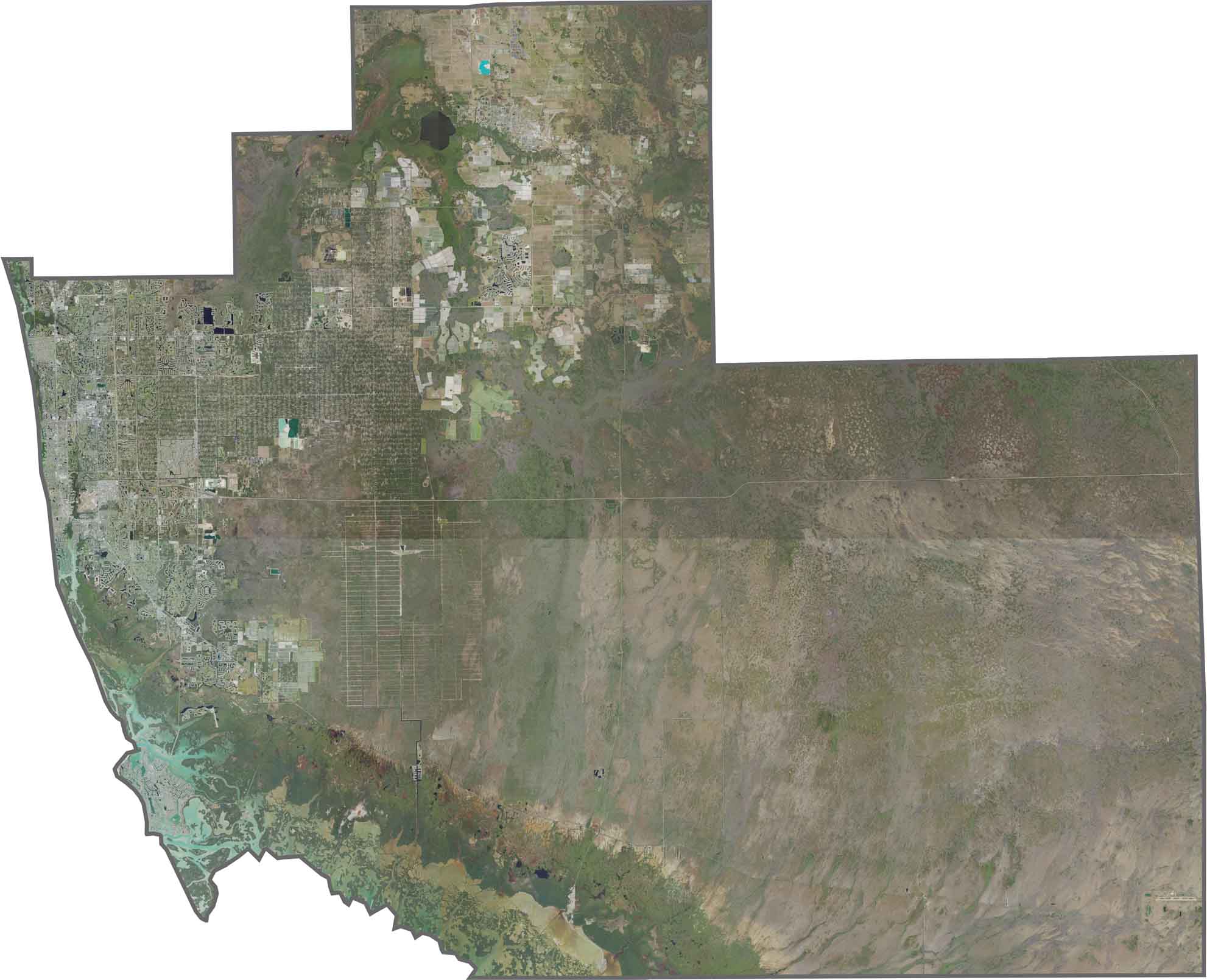
Our Collier County satellite map highlights extensive wetlands, including Big Cypress National Preserve and coastal mangrove forests. Developed communities along the Gulf, including Naples and Marco Island, create a striking contrast with the county’s largely undeveloped interior. Use our zoom tool to see where the built environment meets untouched wilderness.
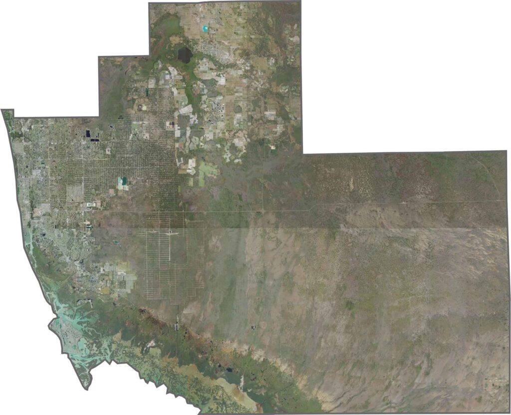
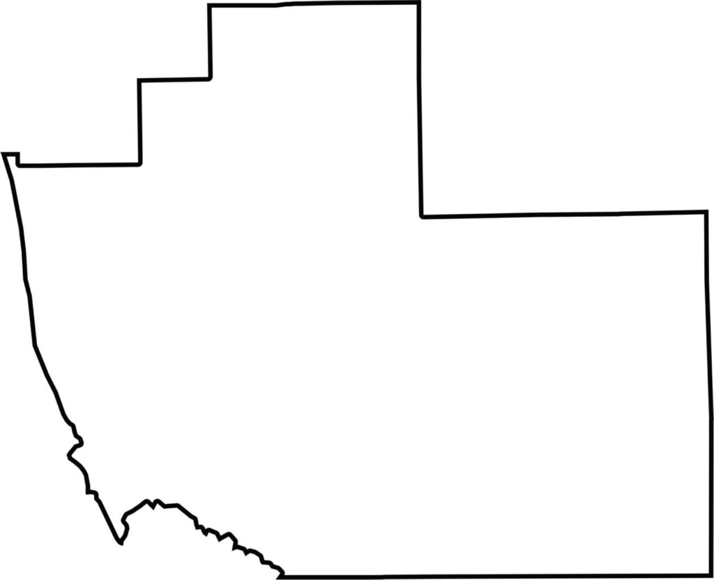
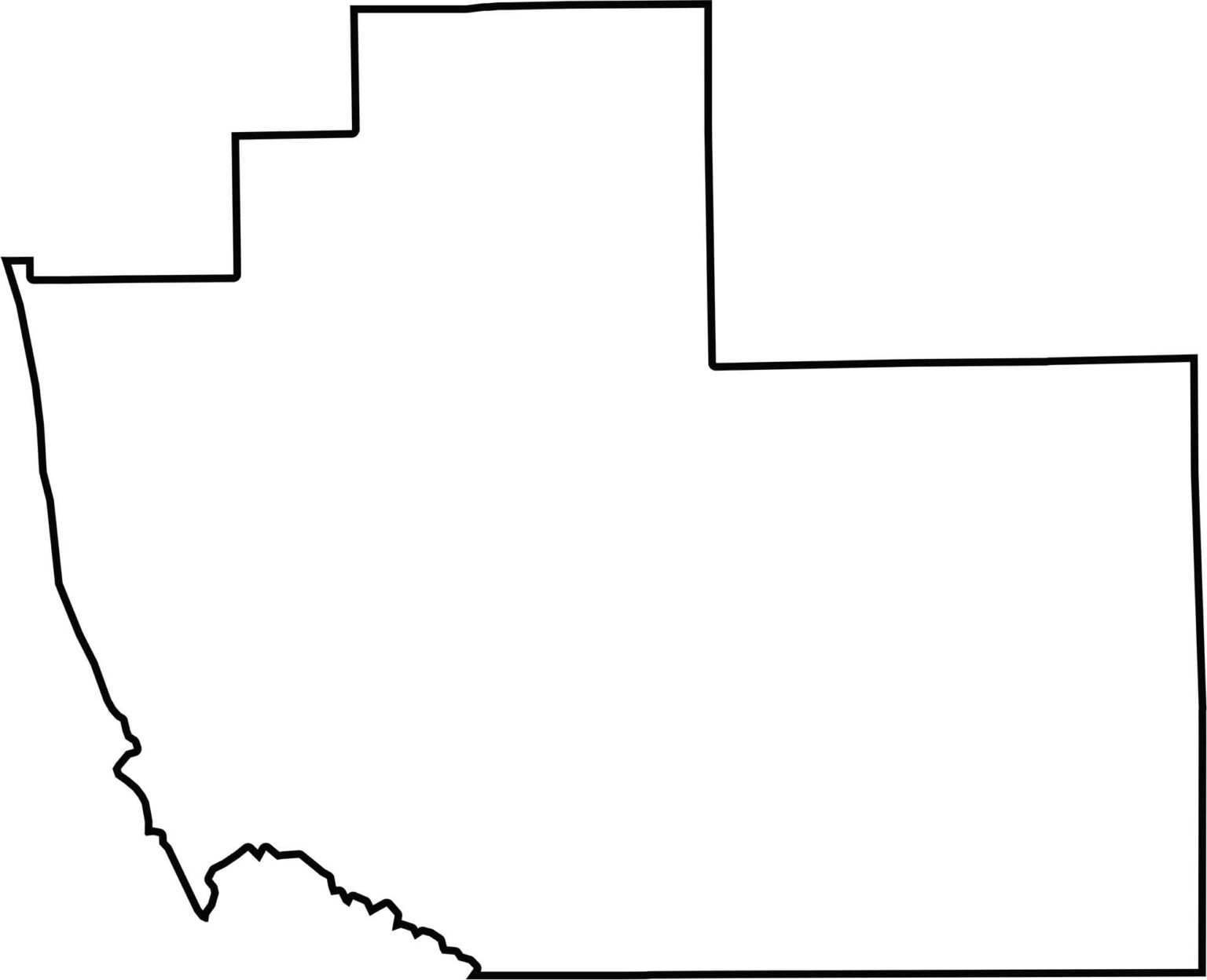
Collier County is one of Florida’s largest counties, featuring a broad Gulf Coast and inland boundaries influenced by protected conservation areas. The Everglades and Big Cypress Swamp shape much of the county’s geography, creating a distinctive combination of smooth coastal edges and irregular inland boundaries.







Looking for a county map of Florida? Our Florida County Map breaks down all 67 counties across the Sunshine State. Explore Florida through detailed topographic, satellite, and outline maps to better understand its geography, landscapes, and county boundaries.