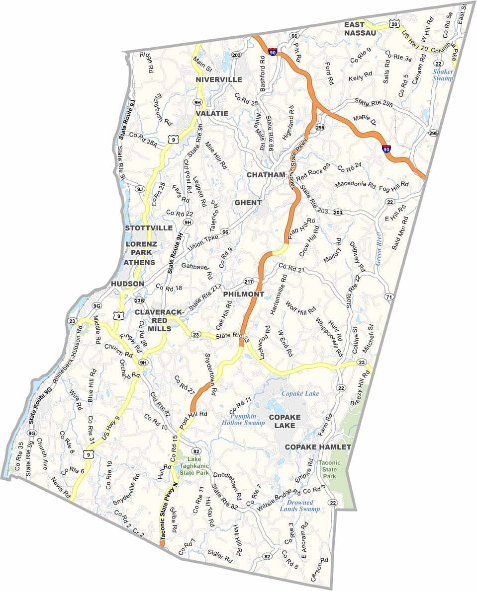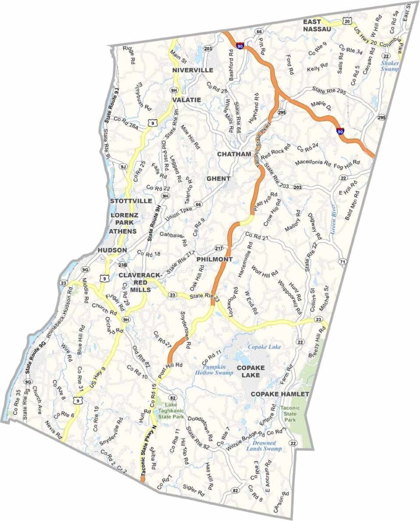
Columbia County Map, New York

Columbia County, New York

Columbia County occupies the eastern flank of the Hudson Valley, with Hudson serving as the county seat. Working farms and artist retreats exist side by side here, and the rolling hills and scenic drives make it a favorite weekend getaway for city dwellers.

The county has deep Dutch roots, evident in its architecture and place names. Olana, the former home of painter Frederic Church, offers sweeping views of the Catskills, and history buffs shouldn't miss the Martin Van Buren National Historic Site in Kinderhook.

It's a place where art and agriculture blend together nicely. Chatham hosts a popular film festival each year, and the area is packed with pick-your-own orchards and berry farms. Working farms are a real highlight here.
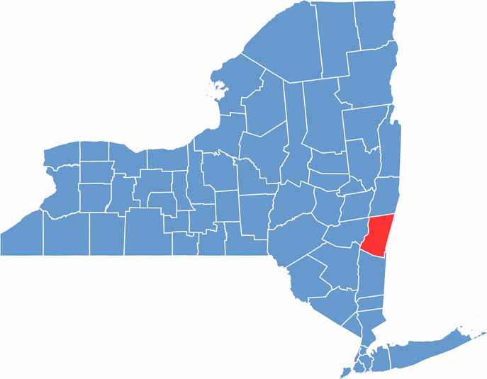

Columbia County location map of New York
CategoryDetails
County NameColumbia County
County SeatHudson
EtymologyNamed after Christopher Columbus
Cities, Towns, and CommunitiesHudson, Chatham, Kinderhook, Claverack, Germantown, Ghent
Interstates and HighwaysU.S. Route 9, New York State Route 23, New York State Route 66
FIPS Code36-021
Total Area (Land and Water)648 square miles (635 sq mi land, 13 sq mi water)
Adjacent Counties (and Direction)Albany County (Northwest), Berkshire County, Massachusetts (East), Dutchess County (South), Greene County (West), Rensselaer County (North), Ulster County (Southwest)
Time ZoneEastern Time Zone (ET)
StateNew York
Coordinates42.2473° N, 73.5673° W
Major LandmarksOlana State Historic Site, Hudson River Skywalk, Clermont State Historic Site, Taconic State Park
PopulationApproximately 58,000
Scroll to Top