Crittenden County, Kentucky

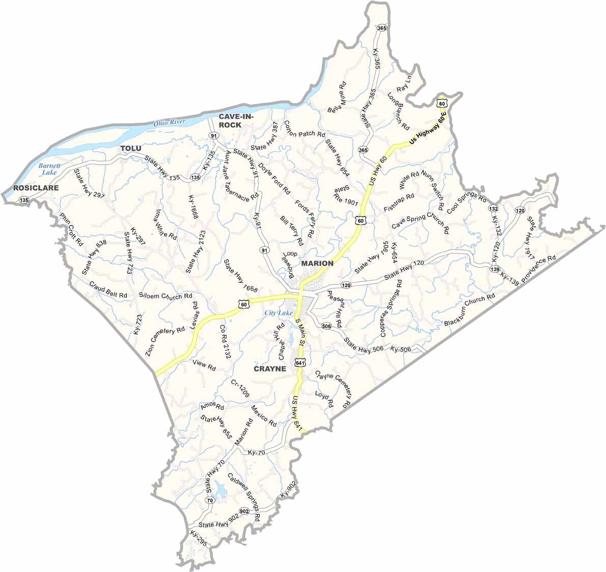
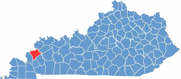
Crittenden County is located in western Kentucky, with Marion serving as its county seat. U.S. Route 60 runs through the area, while the Ohio River forms the county’s northern border.

Once known for its fluorspar mining industry, the county now relies largely on agriculture and small-scale industry. Its rural character remains evident, with quiet roads and farm equipment often more common than heavy traffic.

Across the Ohio River to the north lies Illinois, offering access to attractions such as the Garden of the Gods and the Illinois Iron Furnace, a National Historic Site. With a population of around 9,000 residents, Crittenden County offers a peaceful rural setting and a relaxed small-town atmosphere.
CategoryDetails
County NameCrittenden County
County SeatMarion
EtymologyNamed after John J. Crittenden, a U.S. Senator and Kentucky Governor
Cities, Towns, and CommunitiesMarion, Crayne, Dycusburg, Tolu
Interstates and HighwaysUS-60, KY-91, KY-120
FIPS Code21-055
Total Area (Land and Water)371 sq mi (Land: 360 sq mi; Water: 11 sq mi)
Adjacent Counties (and Direction)Hardin County, Illinois (Northwest), Union County (North), Webster County (Northeast), Caldwell County (Southeast), Lyon County (South), Livingston County (West)
Time ZoneCentral Time Zone (CT)
StateKentucky
Coordinates37.3594° N, 88.0904° W
Major LandmarksCave-In-Rock Ferry, Crittenden County Historical Museum, Marion Golf and Pool
PopulationApproximately 9,000
Scroll to Top