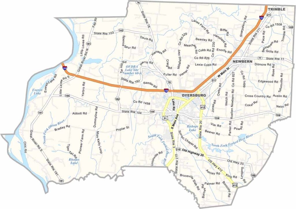
Dyer County, Tennessee

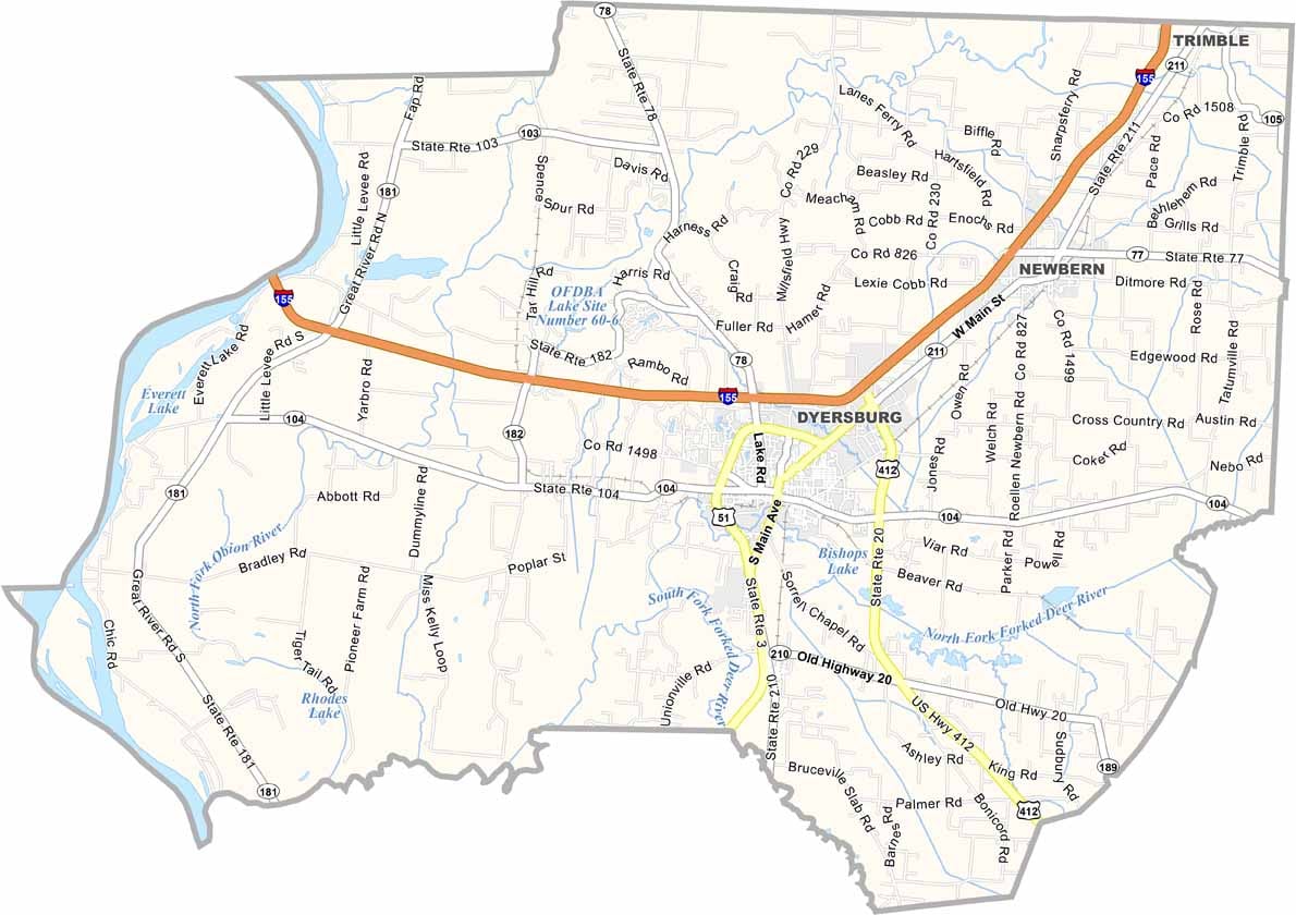
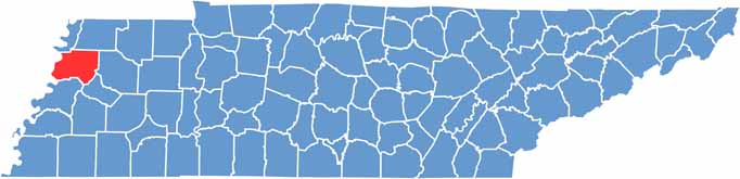
Dyer County stretches across the northwestern corner of Tennessee, where flat, fertile land makes farming a big part of life. The Mississippi River forms the county’s western edge, with Missouri sitting across the water.

Dyersburg serves as the county seat and the main hub of the community. Cotton has been an important crop here for generations, although soybeans have become increasingly common. Civil War history also runs deep, with several historic battle sites and landmarks found throughout the region.

Reelfoot Lake, created by a series of powerful earthquakes long ago, is one of the area’s most unusual natural features. Locals also take their barbecue seriously, so it’s worth trying some if you’re passing through. Summers are typically hot and humid, while winters tend to be milder.
CategoryDetails
County NameDyer County
County SeatDyersburg
PopulationApproximately 37,000
Cities, Towns, and CommunitiesDyersburg, Newbern, Trimble
Interstates and HighwaysInterstate 155, U.S. Highway 51, State Highway 104
FIPS Code47-045
Total Area (Land and Water)527 square miles (512 sq mi land, 15 sq mi water)
Adjacent Counties (and Direction)Lake County (North), Obion County (Northeast), Gibson County (East), Crockett County (Southeast), Lauderdale County (South), Mississippi County, Arkansas (Southwest), Pemiscot County, Missouri (Northwest)
Time ZoneCentral Time Zone (CST)
StateTennessee
Coordinates36°02’N, 89°24’W
EtymologyNamed after Colonel Robert Henry Dyer, a local military and political leader
Major LandmarksReelfoot Lake State Park, Dyer County Courthouse, The Farms Golf Club
Scroll to Top