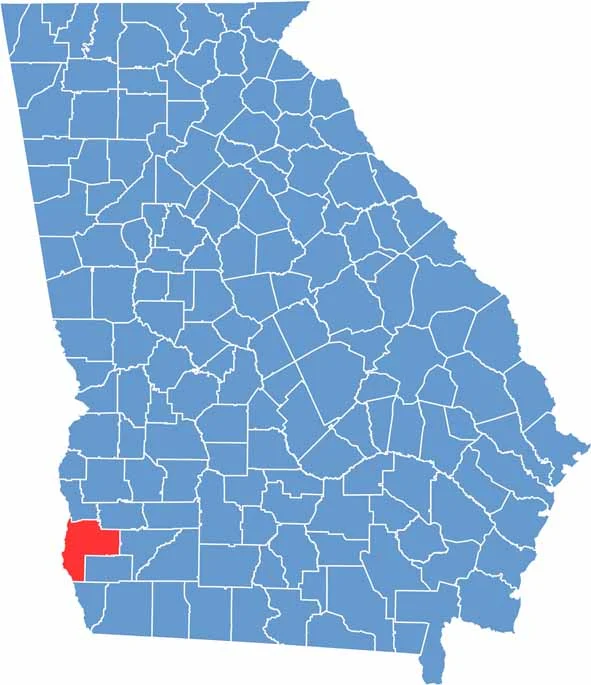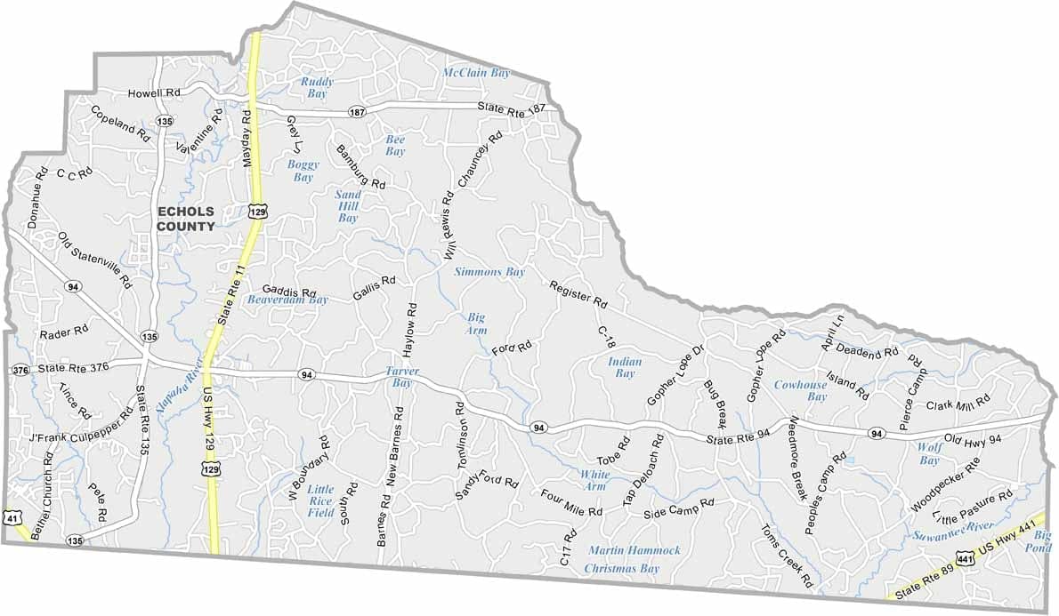
Echols County occupies Georgia’s southernmost corner along the Florida border and is one of the least populated counties in the state. Vast forests, wetlands, and open countryside define much of the landscape, giving the county a quiet and remote character. Statenville serves as the county seat and reflects the close-knit nature of the community.
The Alapaha River flows through the county, providing opportunities for kayaking, fishing, and other outdoor activities. Agriculture remains an important part of the local economy, with timber and traditional row crops contributing to the area’s rural way of life.
Echols County shares strong cultural ties with neighboring Florida while maintaining its distinct South Georgia identity. The county has historical connections to the Civil War era and continues to celebrate its heritage through local events and community traditions.