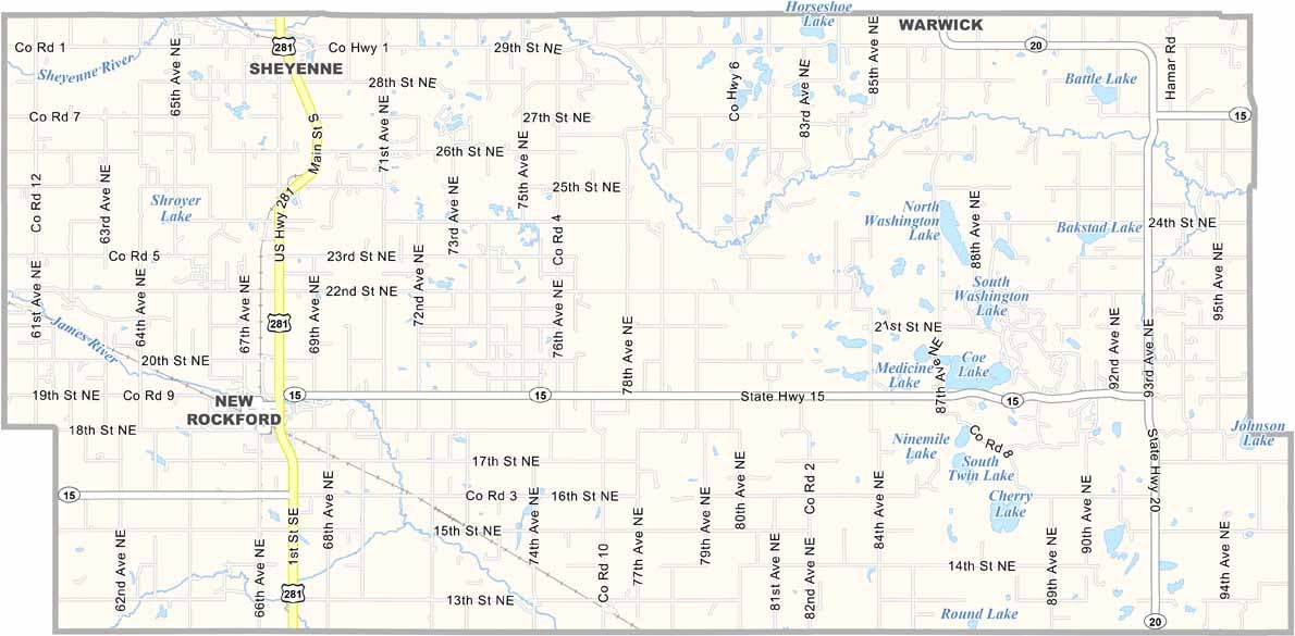
Eddy County Map, North Dakota

Eddy County, North Dakota

Eddy County is located in east-central North Dakota and is one of the state's least populous counties. New Rockford serves as the county seat, with about 1,300 folks calling it home.

Agriculture drives the local economy, with wheat, soybeans, and sunflowers among the big crops, and cattle ranching is important too. The Sheyenne River flows through the northern part of the county.

Fishing is popular in the summer, while snowmobiling takes over in the winter, and you'll find plenty of nice scenery and recreation opportunities year-round. The county has a rich Native American history, and you can still find arrowheads in some fields.
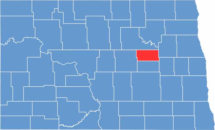
Eddy County location map of North Dakota
CategoryDetails
County NameEddy County
County SeatNew Rockford
EtymologyNamed after Ezra B. Eddy
Cities, Towns, and CommunitiesNew Rockford, Anamoose, Cathay, Grace City
Interstates and HighwaysNorth Dakota Highway 1, North Dakota Highway 3
FIPS Code38-027
Total Area (Land and Water)1,272 square miles (land and water)
Adjacent Counties (and Direction)Benson County (North), Nelson County (Northeast), Griggs County (Southeast), Foster County (South), Wells County (West)
Time ZoneCentral Time Zone
StateNorth Dakota
Coordinates47.5356° N, 99.1421° W
Major LandmarksLake Elsie, Eddy County Historical Museum
PopulationApproximately 2,500
Scroll to Top