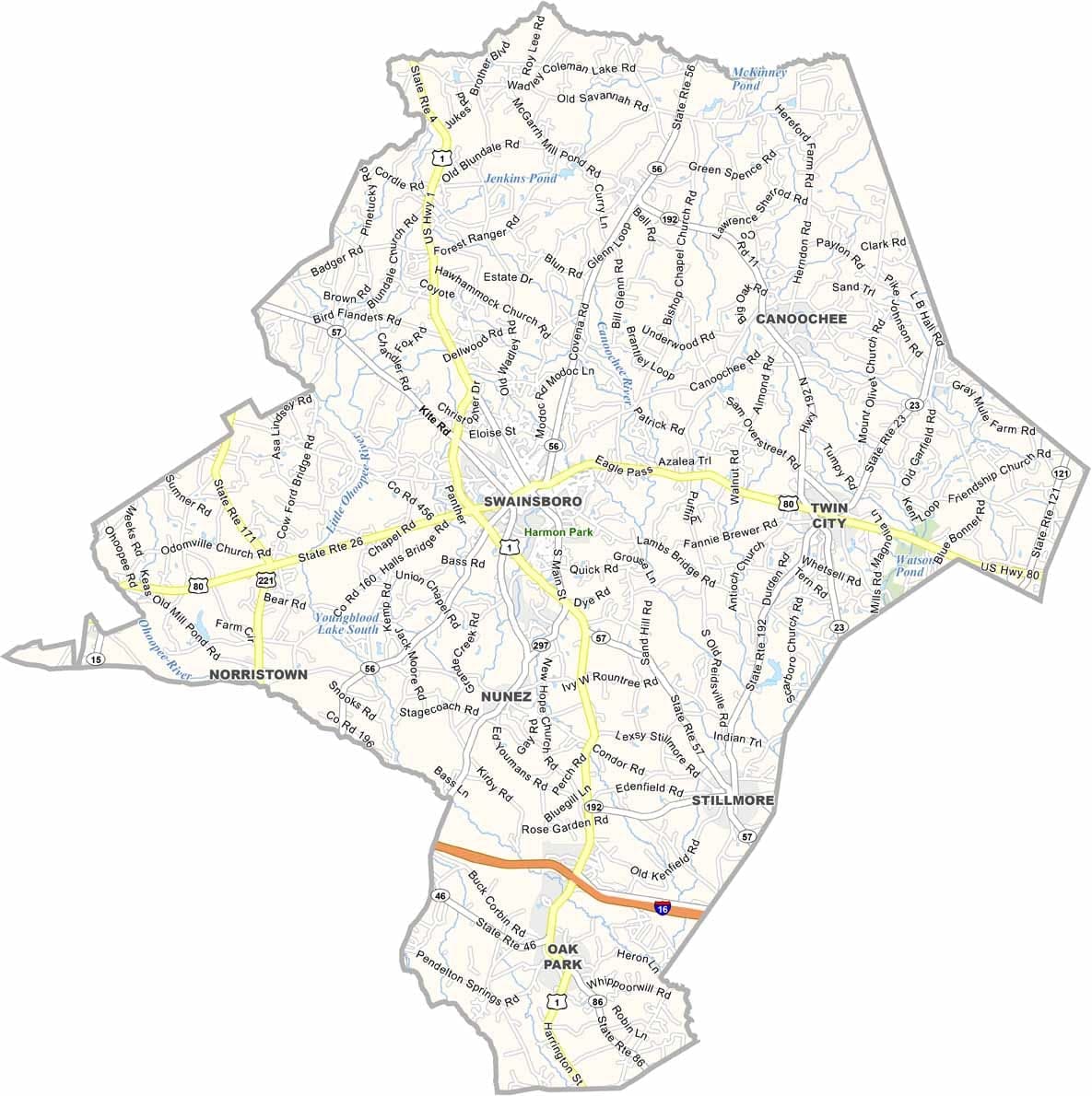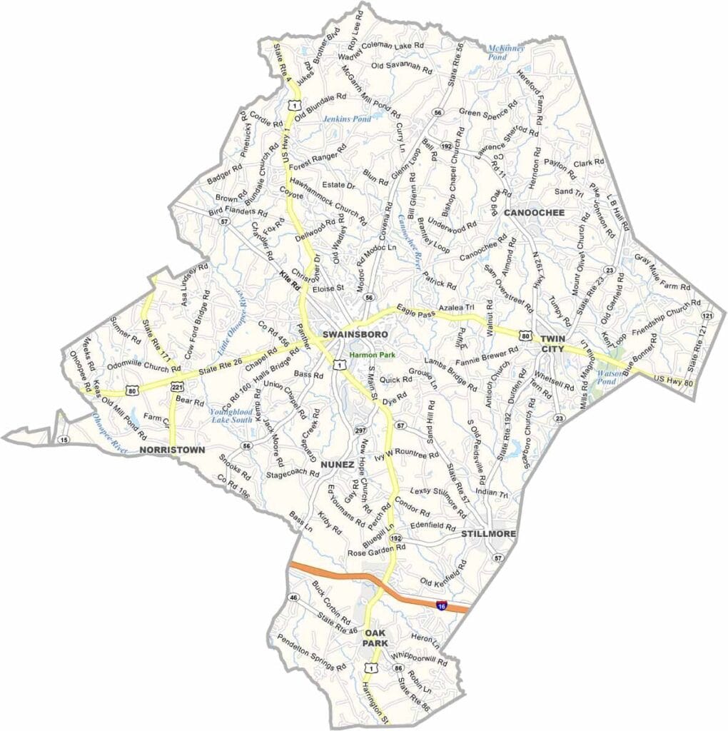
Emanuel County, Georgia

Emanuel County lies in east-central Georgia, with Swainsboro serving as the county seat and center of local activity. The county’s fertile soil supports a strong agricultural economy, producing crops such as cotton and timber that have sustained the region for generations.

Visitors are drawn to George L. Smith State Park, famous for its cypress-lined mill pond and scenic natural beauty. Founded in 1812, Emanuel County was named after David Emanuel, a former governor of Georgia. The annual Pine Tree Festival highlights the county’s deep roots in the forestry industry.

East Georgia State College adds an educational presence to Swainsboro and the surrounding area. Residents are known for their Southern hospitality and strong community spirit. With its pecan orchards, pine forests, and quiet country roads, Emanuel County offers an authentic glimpse into rural Georgia life.
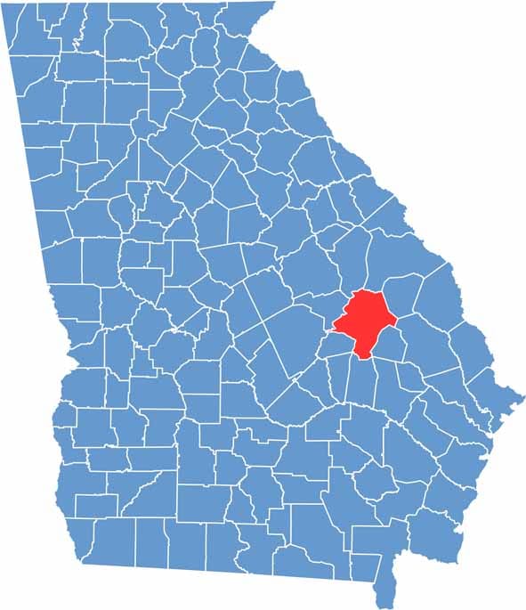

Emanuel County Location Map Georgia
Category Details
County Name Emanuel County
County Seat Swainsboro
Cities, Towns, and Communities Swainsboro (county seat), Twin City, Summertown, and several unincorporated communities
Interstates and Highways U.S. Route 1, U.S. Route 80, State Route 56, State Route 57
Etymology Named in honor of Colonel David Emanuel, who became the governor of Georgia in 1801
FIPS Code 13-107
Total Area (Land and Water) 1,279 square miles (land: 1,266 sq mi, water: 13 sq mi)
Time Zone Eastern Time Zone (ET)
State Georgia
Coordinates 32.5918° N, 82.3434° W
Major Landmarks Swainsboro Historic District, George L. Smith Park, Ricks Institute
Adjacent Counties (and Direction) Jefferson County (North), Jenkins County (Northeast), Burke County (Northeast), Candler County (East), Tattnall County (Southeast), Bulloch County (Southeast), Toombs County (South), Johnson County (West), Treutlen County (West)
Population Approximately 22,000
Scroll to Top