
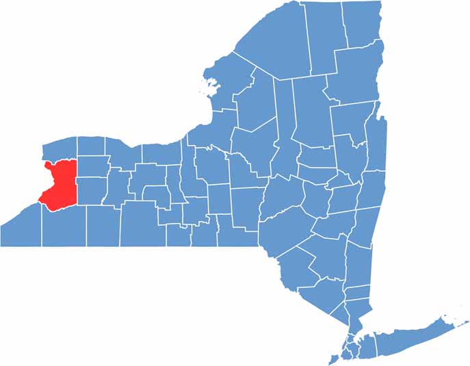
Western New York’s heart lies in Erie County. Buffalo serves as the county seat and is New York’s second-largest city. It’s known for more than just chicken wings and snowy winters. Erie County stretches along the eastern shore of Lake Erie, offering beautiful waterfront views and plenty of recreational opportunities.
You can’t miss Niagara Falls, just a short drive north along the Canadian border. The county also has a rich industrial history, visible in its repurposed factories and towering grain silos.
Sports fans proudly cheer for the Bills and Sabres. Small towns like East Aurora are home to the Roycroft arts and crafts movement, offering a much quieter pace of life. From urban centers to serene rural landscapes, Erie County has a little bit of everything.
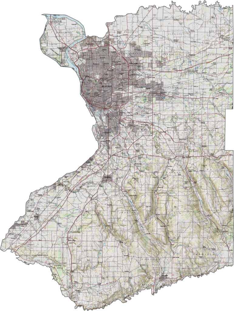
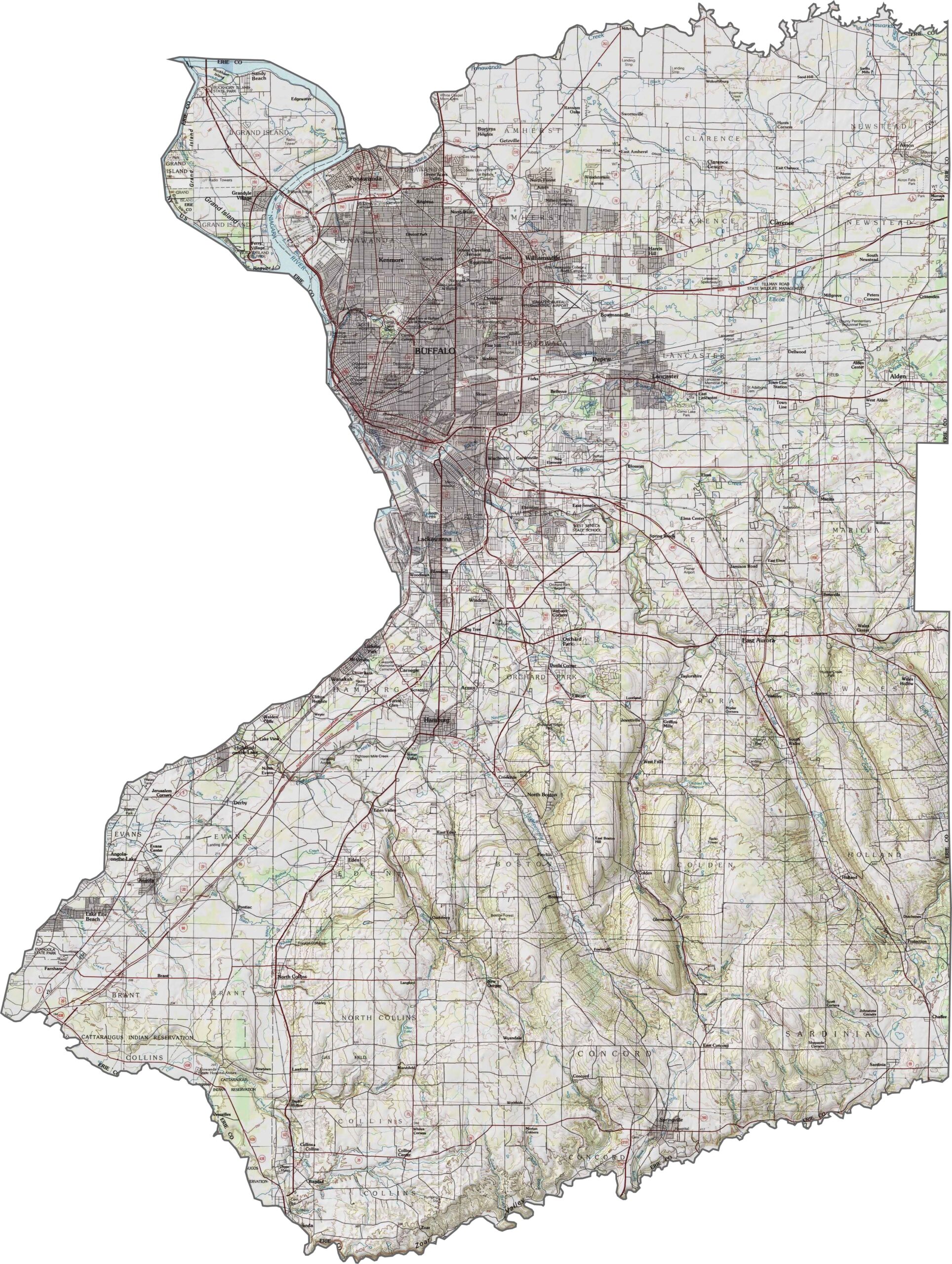
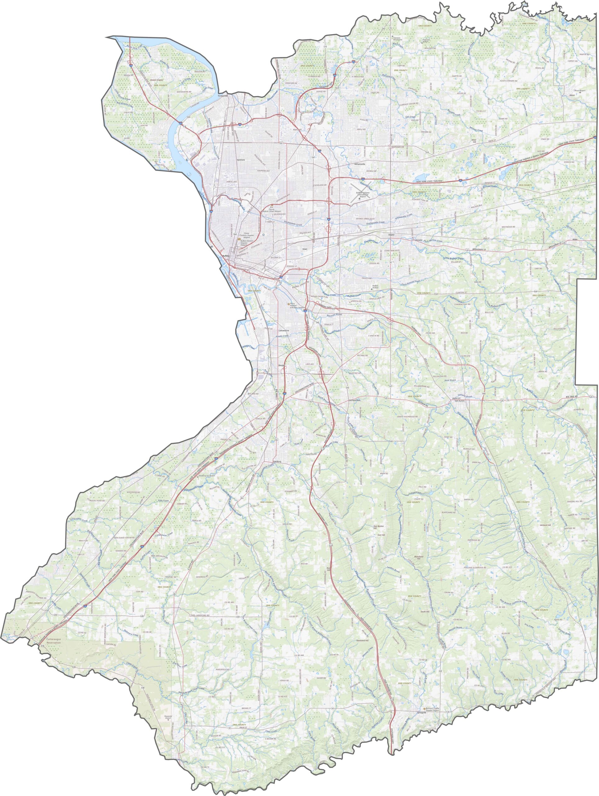
The land around Buffalo is mostly low and flat, but the terrain gradually rises toward the south. Small creeks and ridges shape the areas outside the city. While the county isn’t especially hilly, the elevation changes are steady and noticeable. Explore the landscape in our topographic map below.
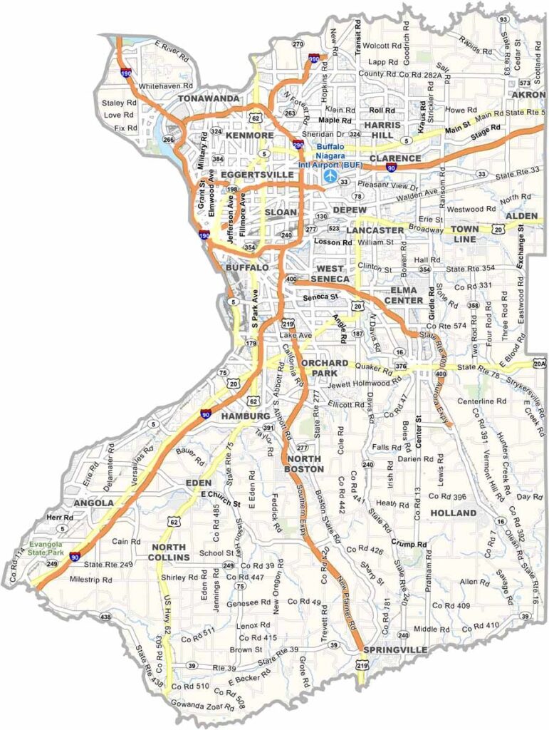
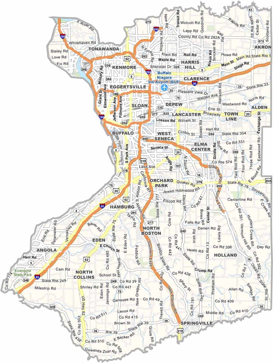
Erie County has a dense network of highways. I-90 and I-190 serve as the main routes, with I-190 heading into downtown Buffalo and I-290 looping around the suburbs. U.S. Route 219 runs south through the hills, while NY-5 follows the Lake Erie shoreline. Use our road map below to explore the routes in greater detail.
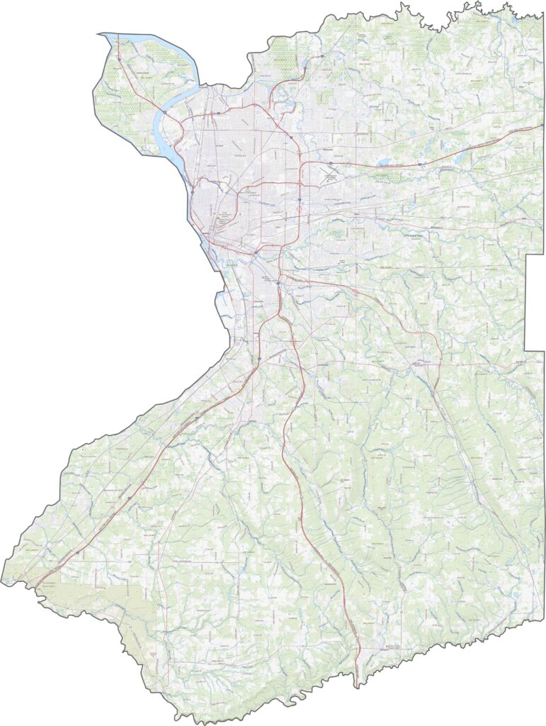
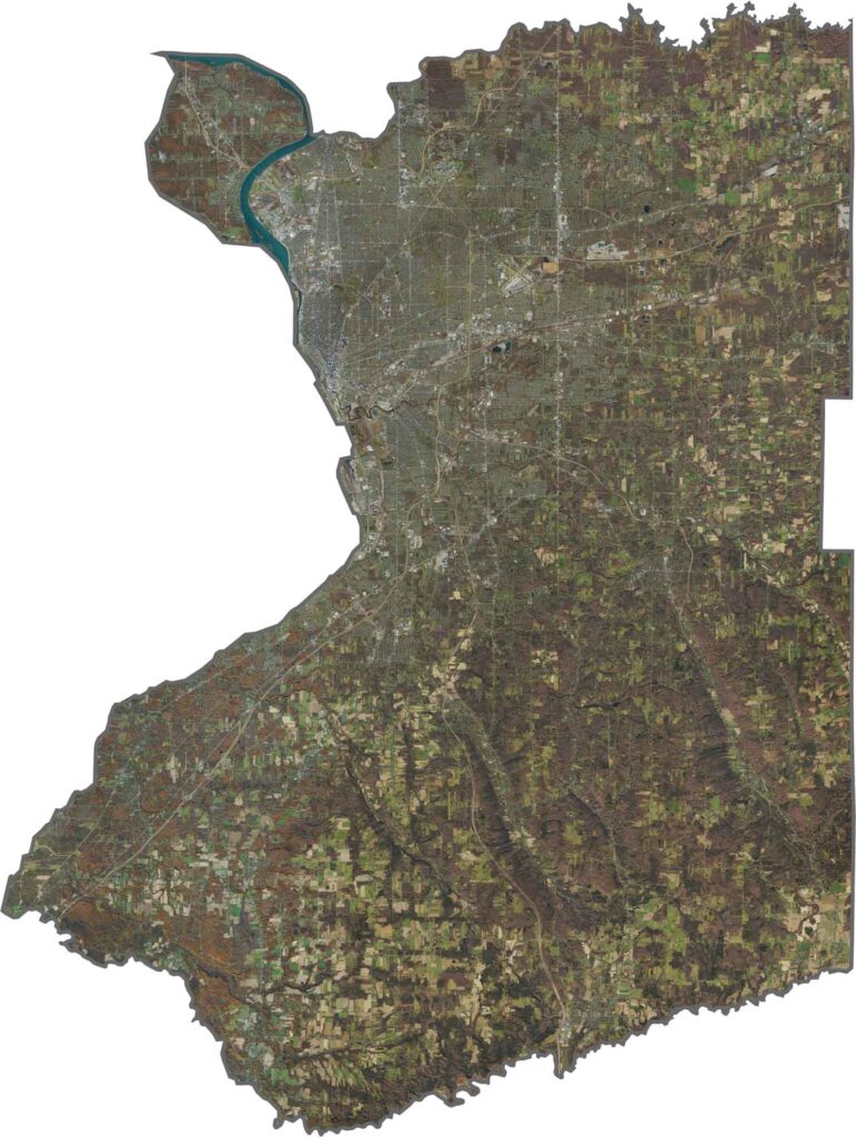
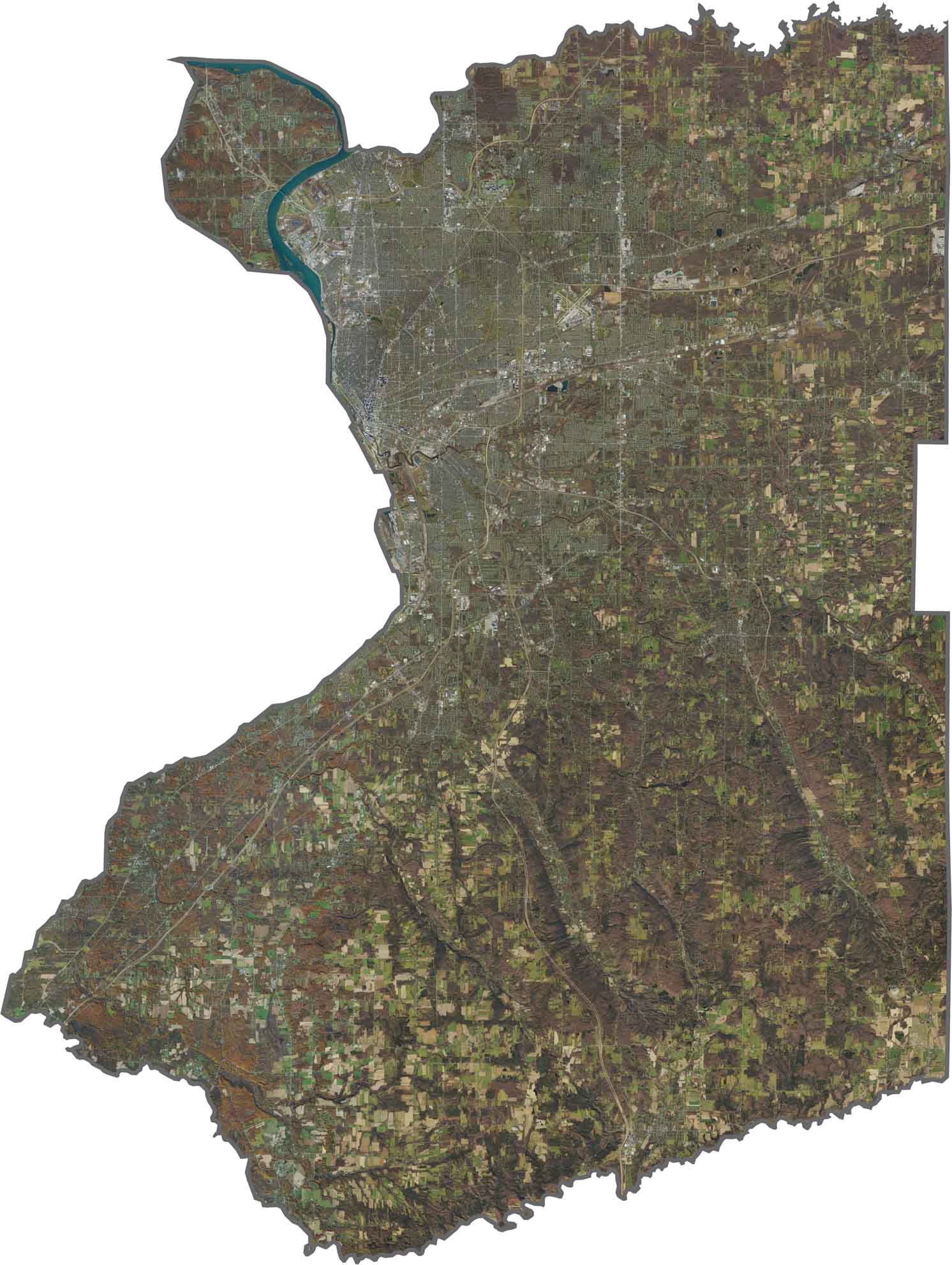
Buffalo dominates the northwest portion of the satellite view, with roads, buildings, and neighborhoods spreading outward from the waterfront. Farther away, the landscape becomes greener and more open. Suburbs stretch across the east, while farmland and forests cover much of the south.
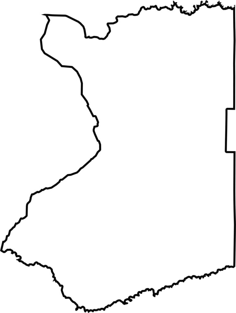
Erie County has a bold shape that combines squared-off sections with curved boundaries. The western edge follows the Lake Erie shoreline, while Canada lies across the Niagara River. The northern boundary closely follows the Tonawanda River, making Erie County one of New York’s few counties with an international border.








New York has 62 counties, and each one has its own personality. From the nonstop energy of Manhattan to the quiet wilderness of the Adirondacks, there’s plenty of variety to explore. And yes, we can’t forget those famous Buffalo wings. Explore our New York county maps.