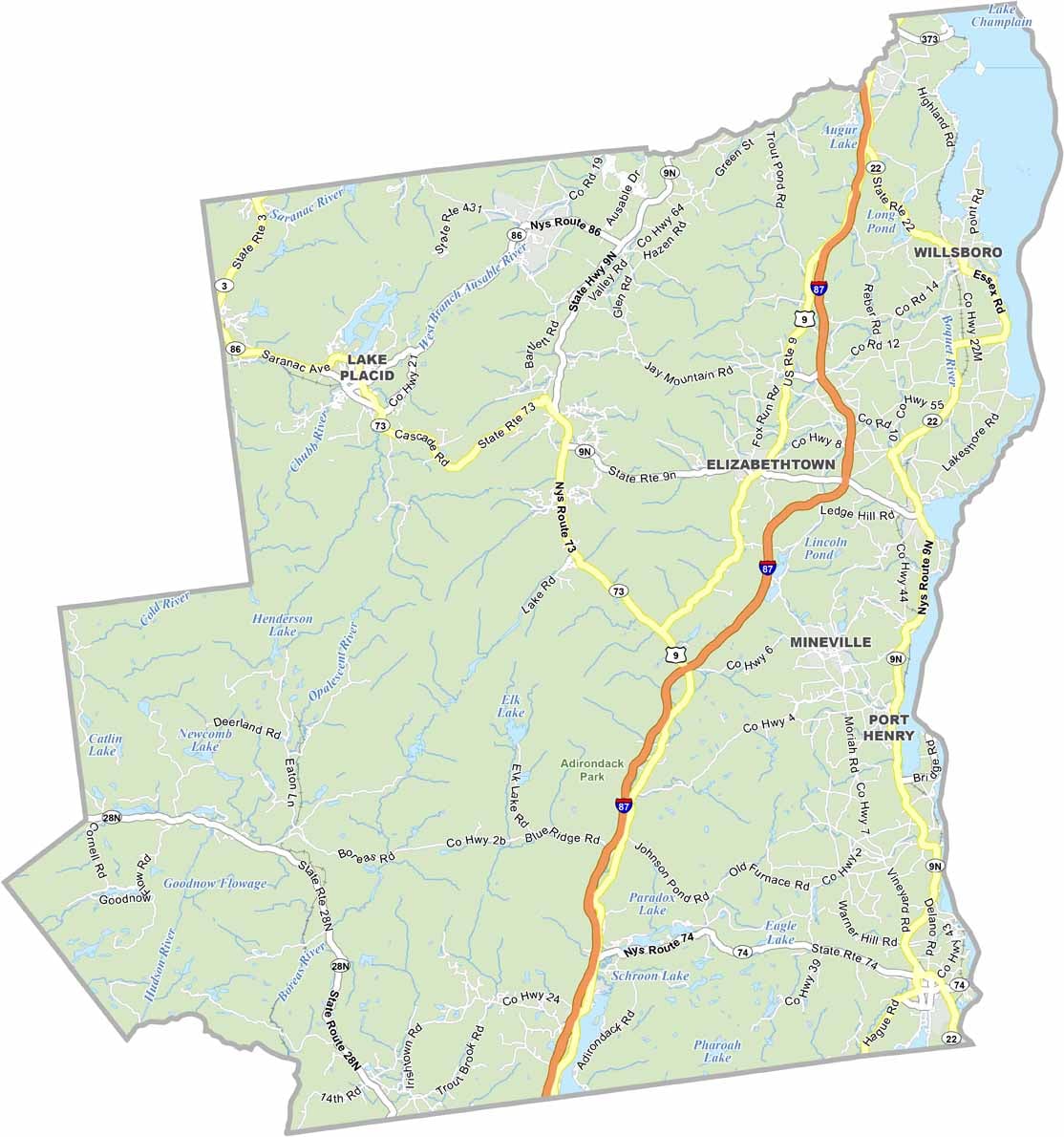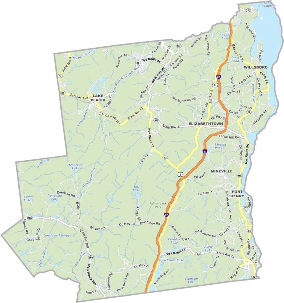
Essex County Map, New York

Essex County, New York

The heart of the Adirondacks lies in Essex County in northeastern New York. It’s a paradise for nature lovers, with Adirondack Park covering the entire county. The area includes Lake Placid, famous for hosting two Winter Olympics.

You’ll find 46 High Peaks here, offering challenges even for experienced hikers. The county is also home to Mount Marcy, the highest point in New York. Whiteface Mountain provides some of the best skiing opportunities on the East Coast.

Essex County’s small towns, including Elizabethtown and Ticonderoga, are full of charm and history. The area played an important role in the French and Indian War. To the east, Lake Champlain forms the county’s border, offering plenty of opportunities for boating and fishing.
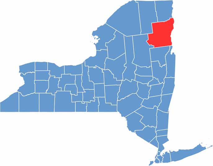

Essex County location map of New York
CategoryDetails
County NameEssex County
County SeatElizabethtown
EtymologyNamed after the County of Essex in England
Cities, Towns, and CommunitiesLake Placid, Ticonderoga, Elizabethtown, Keene, Moriah, Wilmington, Schroon Lake
Interstates and HighwaysInterstate 87, U.S. Route 9, New York State Route 73, New York State Route 22
FIPS Code36-031
Total Area (Land and Water)1,916 square miles (1,794 sq mi land, 122 sq mi water)
Adjacent Counties (and Direction)Clinton County (North), Chittenden County, Vermont (Northeast), Franklin County (West), Addison County, Vermont (East), Hamilton County (Southwest), Washington County (South), Warren County (South)
Time ZoneEastern Time Zone (ET)
StateNew York
Coordinates44.1086° N, 73.7706° W
Major LandmarksAdirondack High Peaks, Whiteface Mountain, Fort Ticonderoga, Lake Champlain, Mount Marcy
PopulationApproximately 36,000
Scroll to Top