
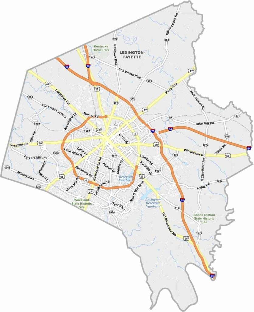
Fayette County is located in central Kentucky and is home to Lexington, the state’s second-largest city. Known for its horse country, the county features beautiful rolling landscapes, prestigious thoroughbred farms, and a strong equestrian tradition.
History is woven throughout the county, with notable sites such as Henry Clay’s home and the Mary Todd Lincoln House offering glimpses into Kentucky’s past. The area is also closely connected to the state’s renowned bourbon heritage, adding another important part of its cultural identity.
The University of Kentucky brings a lively atmosphere to the community, while downtown Lexington offers a wide selection of restaurants, bars, shops, and entertainment. With its scenic countryside, historic landmarks, equestrian traditions, and vibrant city life, Fayette County captures much of what makes the Bluegrass Region distinctive.
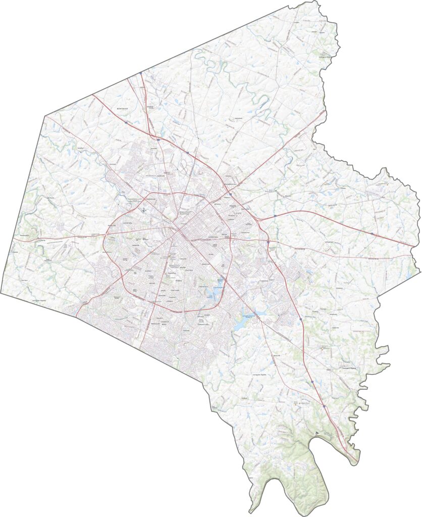
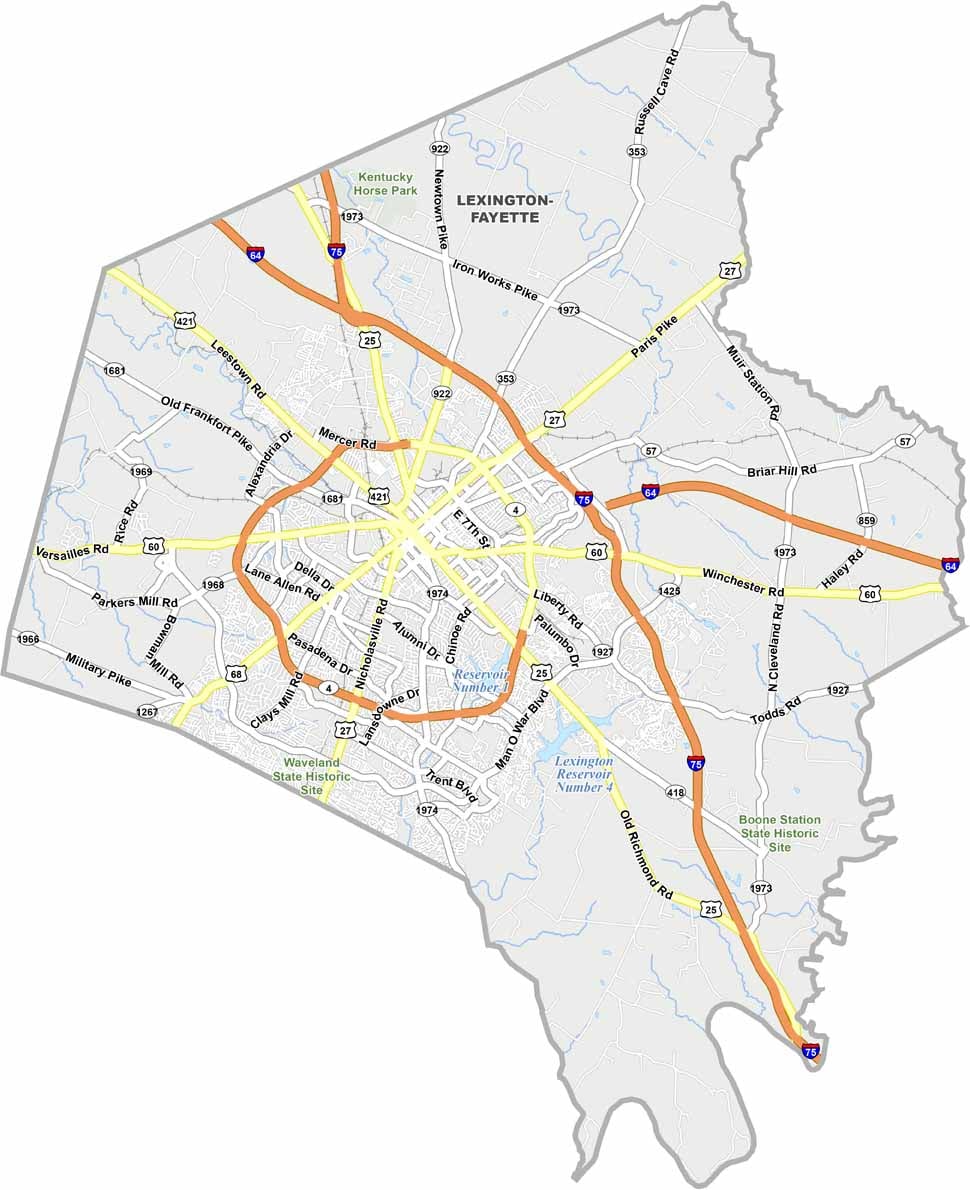
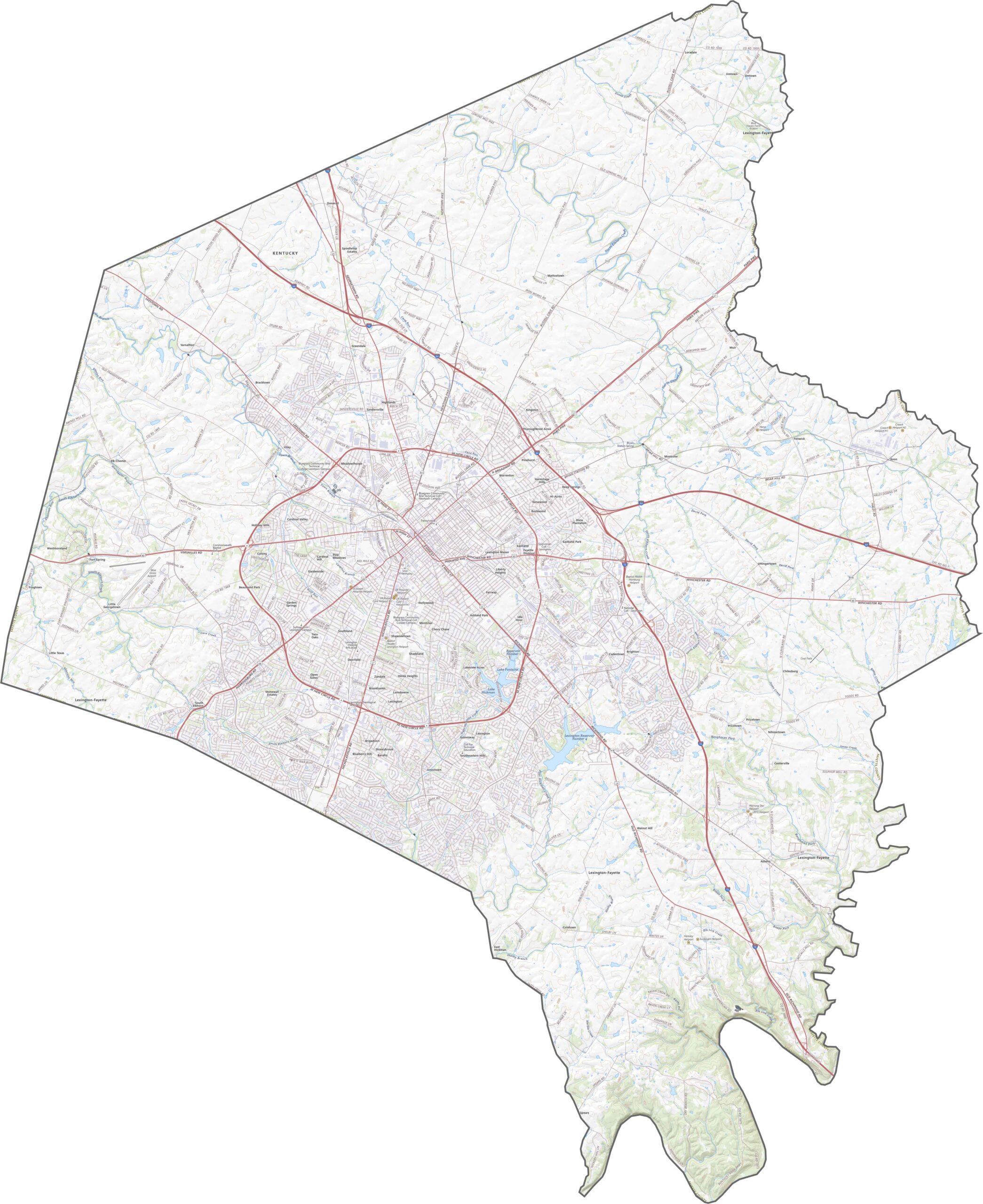
Fayette County’s road network ranges from busy city streets to major interstates such as Interstate 64 and Interstate 75. While downtown Lexington can experience heavier traffic, surrounding roads and loops help improve connectivity. Smaller routes wind through scenic horse farms and rural countryside, and our interactive zoom tool lets you explore the county’s lanes, backroads, and highways in greater detail.
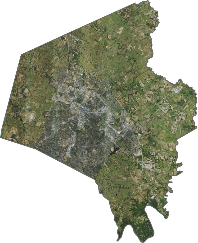
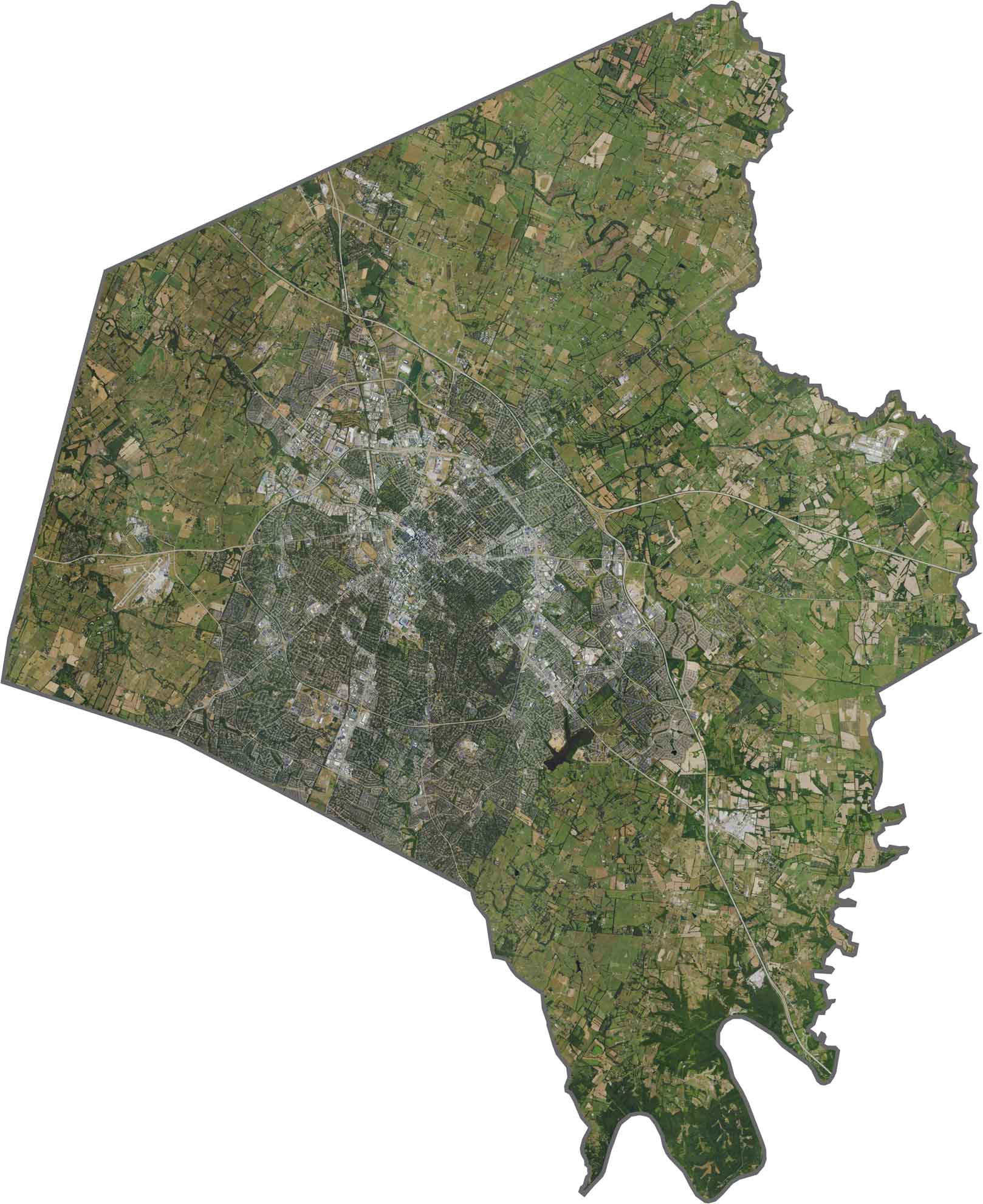
From above, Lexington’s urban core appears as a dense developed area surrounded by expansive horse farms and open countryside. As residential neighborhoods extend outward, large estates and spacious properties help preserve the area’s open, scenic character.
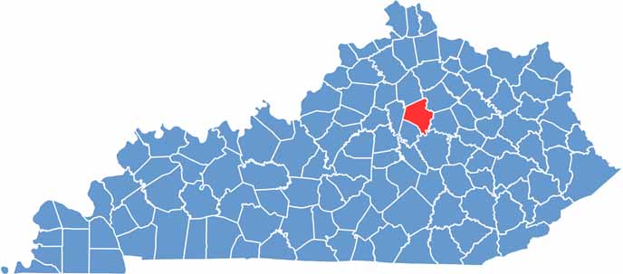
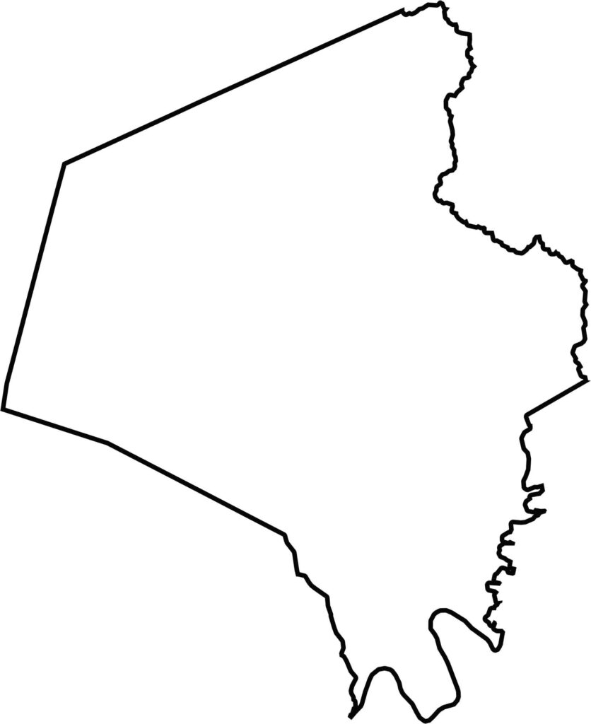
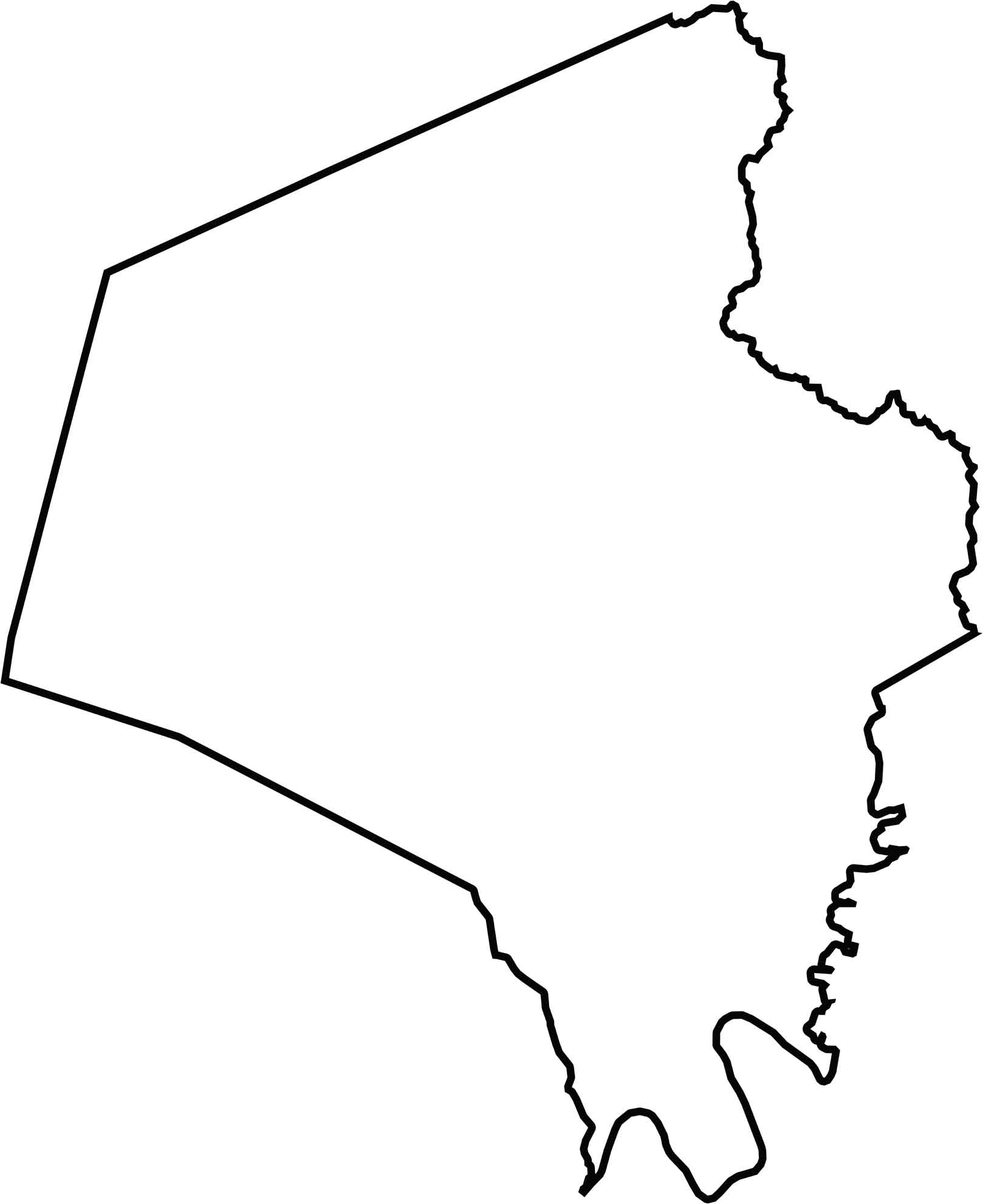
The Fayette County outline has an irregular shape with slightly jagged edges, while Boone Creek partly defines portions of its boundary. The county is surrounded by six neighboring counties, including Jessamine County and Scott County. Entirely landlocked, Fayette County lies near the heart of Kentucky.
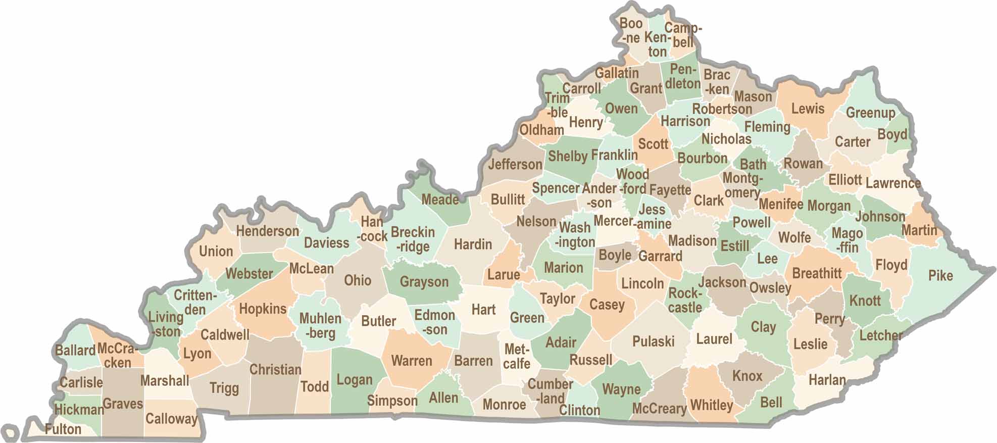
Kentucky isn’t just about bluegrass and bourbon. It’s a state where towering forests, rolling landscapes, and rich local stories come together. Explore the state in greater detail and find your way with one of our Kentucky County Map