
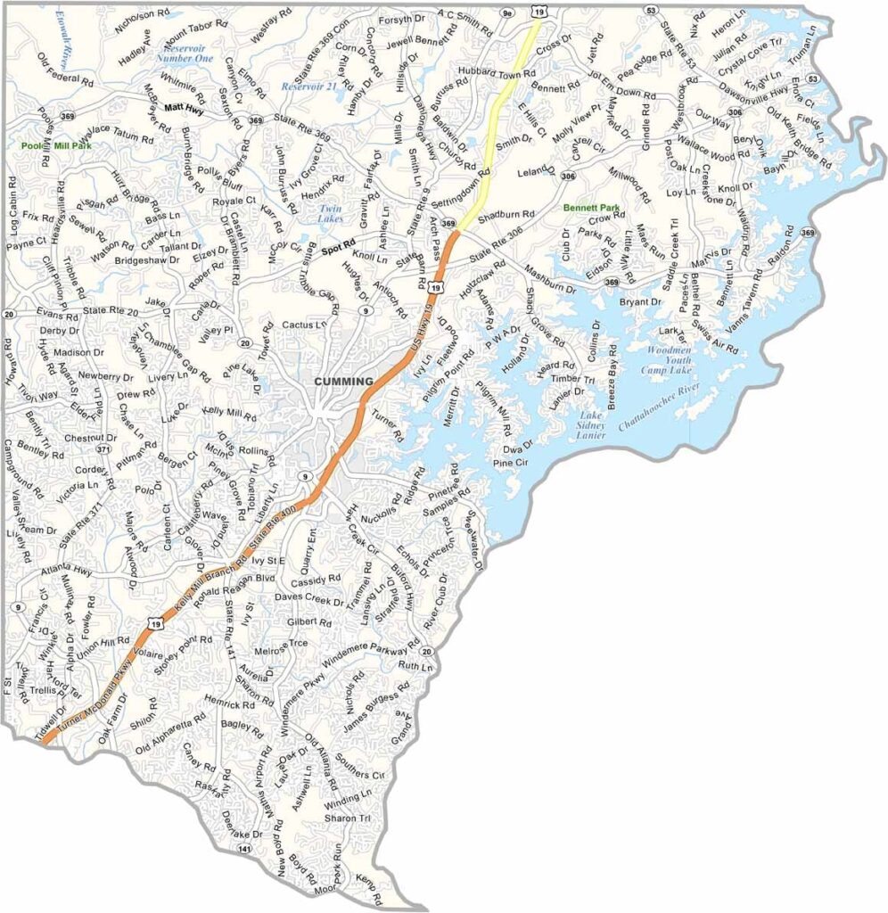
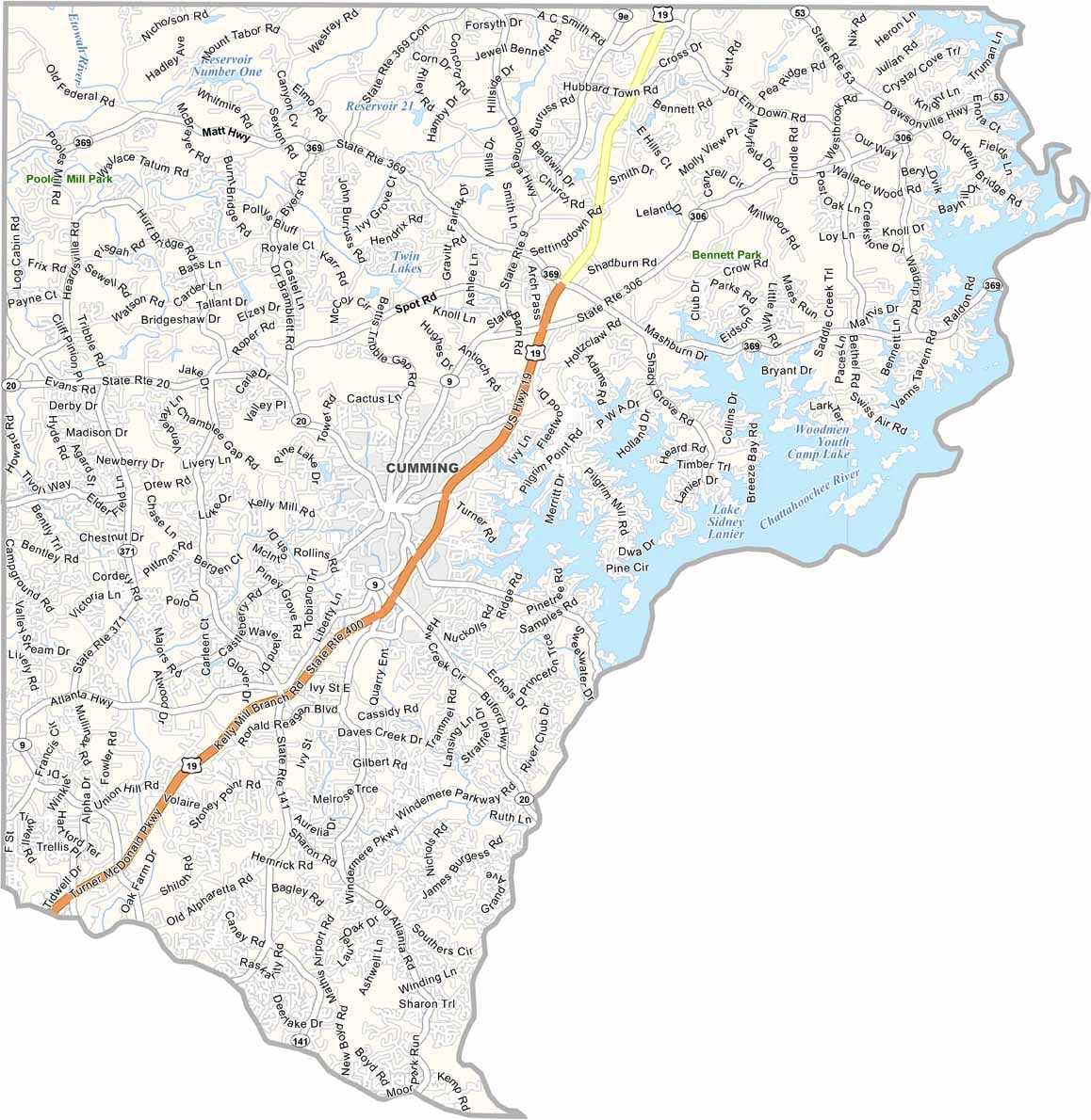
Forsyth County has transformed from a largely rural area into one of Atlanta’s most desirable suburban communities. Located in north Georgia, the county borders Lake Lanier to the northeast. Cumming serves as the county seat and has grown from a small town into a bustling suburban center.
Forsyth County is known for its highly regarded schools and low crime rates, attracting families and contributing to rapid population growth. Despite extensive development, the county still has pockets of natural beauty, including Sawnee Mountain Preserve. Lake Lanier also provides opportunities for boating, fishing, and other water recreation.
The county’s economy has become increasingly diverse, with technology companies and other businesses joining more traditional industries. Forsyth County has also worked to address and move beyond difficult chapters in its history. Today, it combines fast-growing suburban communities with outdoor recreation, natural areas, and convenient access to the Atlanta metropolitan area.
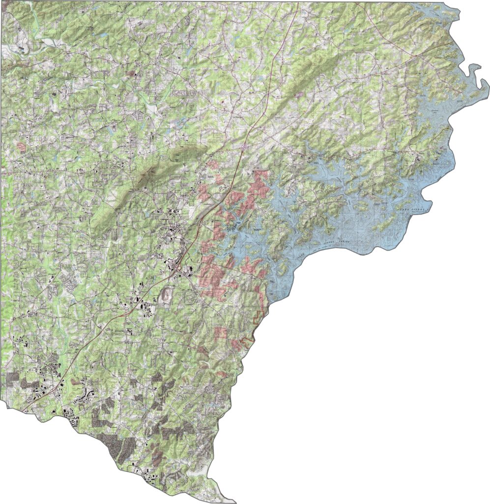
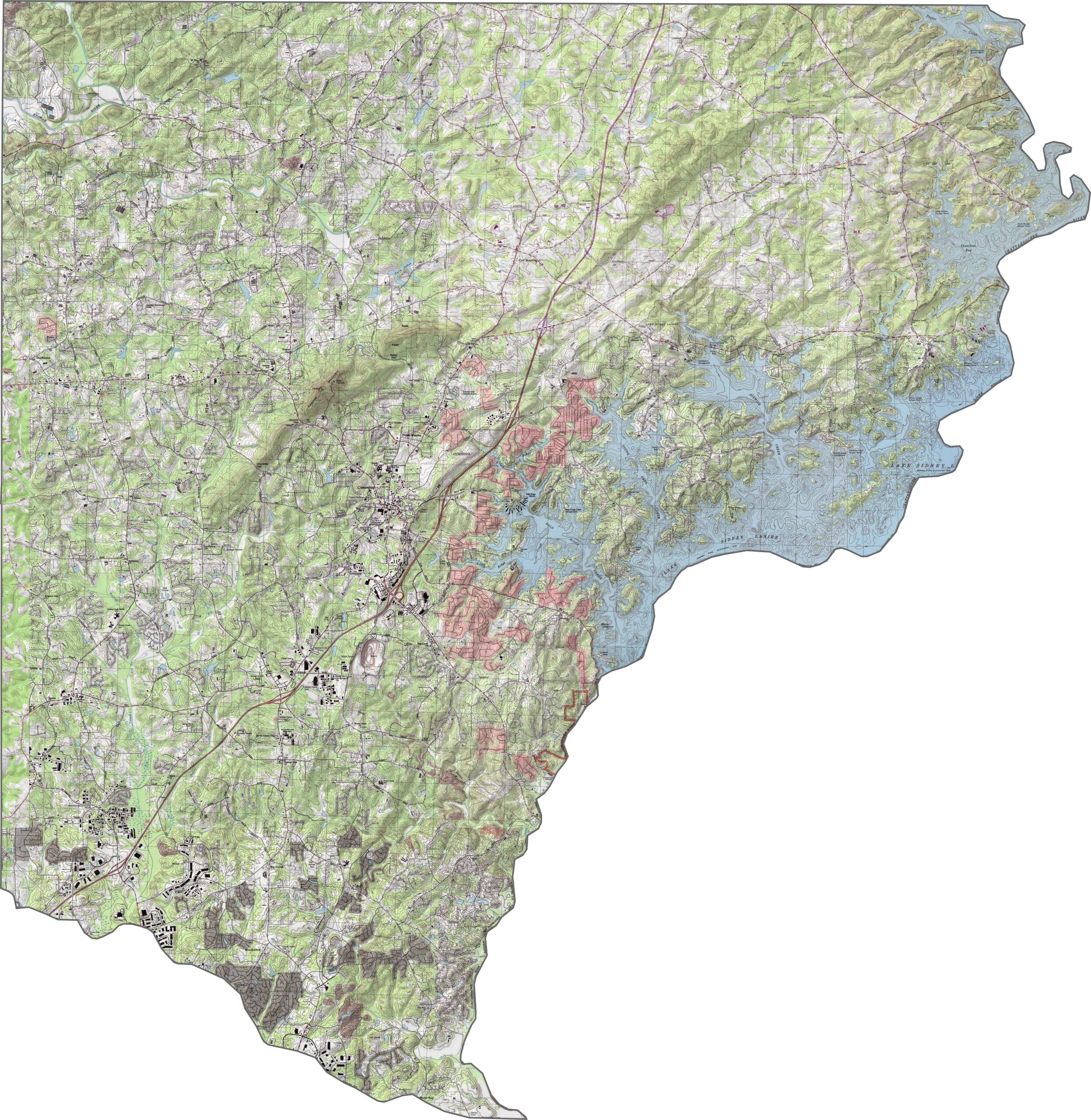
This Forsyth County topographic map shows varied terrain, with generally higher elevations in the northern part of the county. Sawnee Mountain stands out near the center, while Lake Lanier dominates the eastern side with numerous coves and peninsulas creating a complex shoreline.
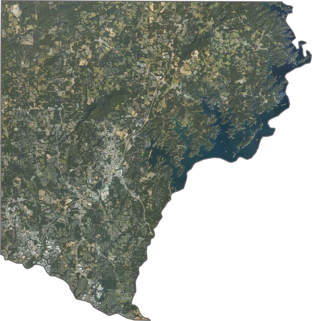
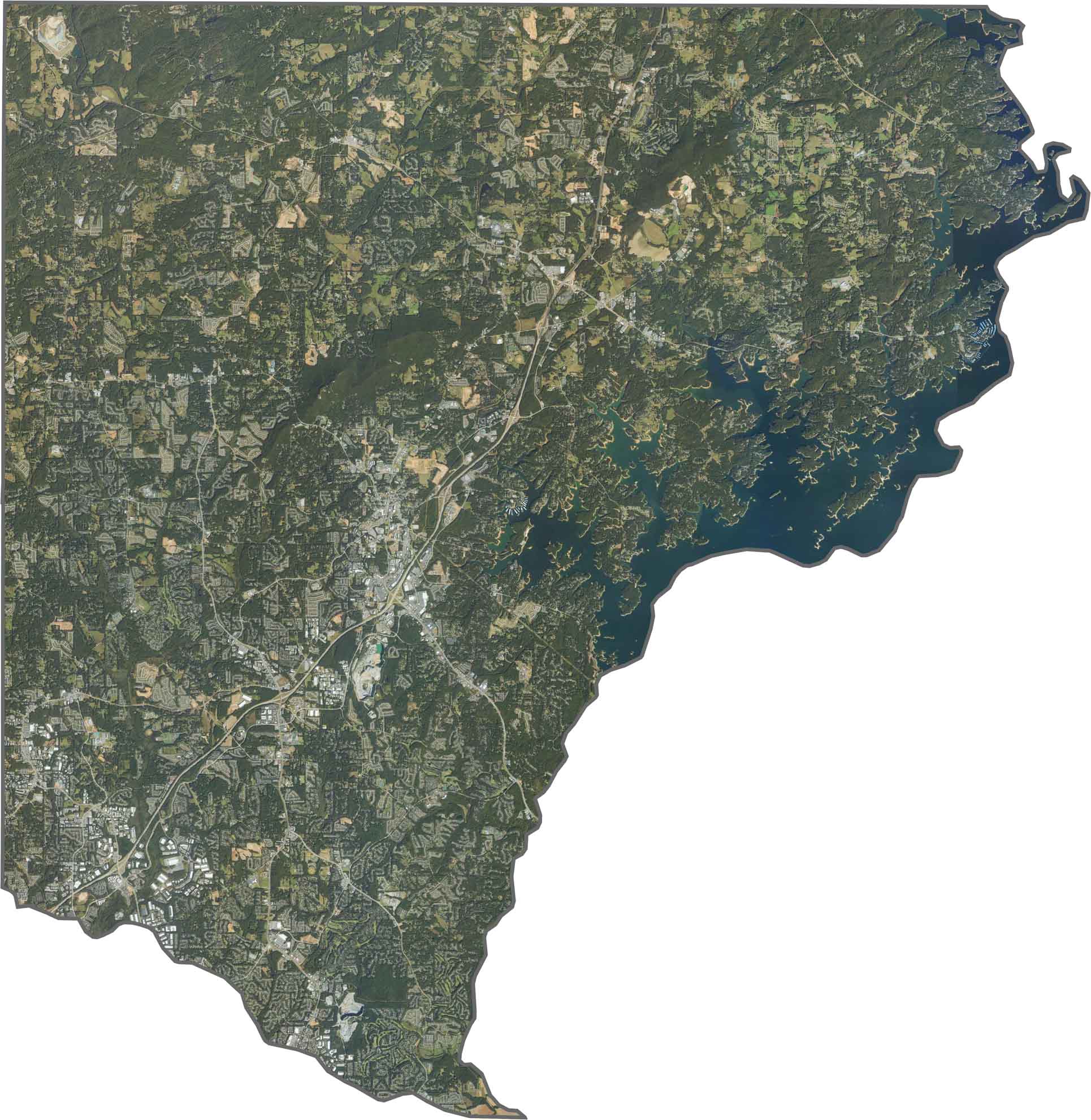
Our satellite map highlights Forsyth County’s rapid transformation from a rural area into a growing suburban community. The southern region features dense housing developments, while the northern areas retain more forests and farmland near the foothills of the Blue Ridge Mountains.
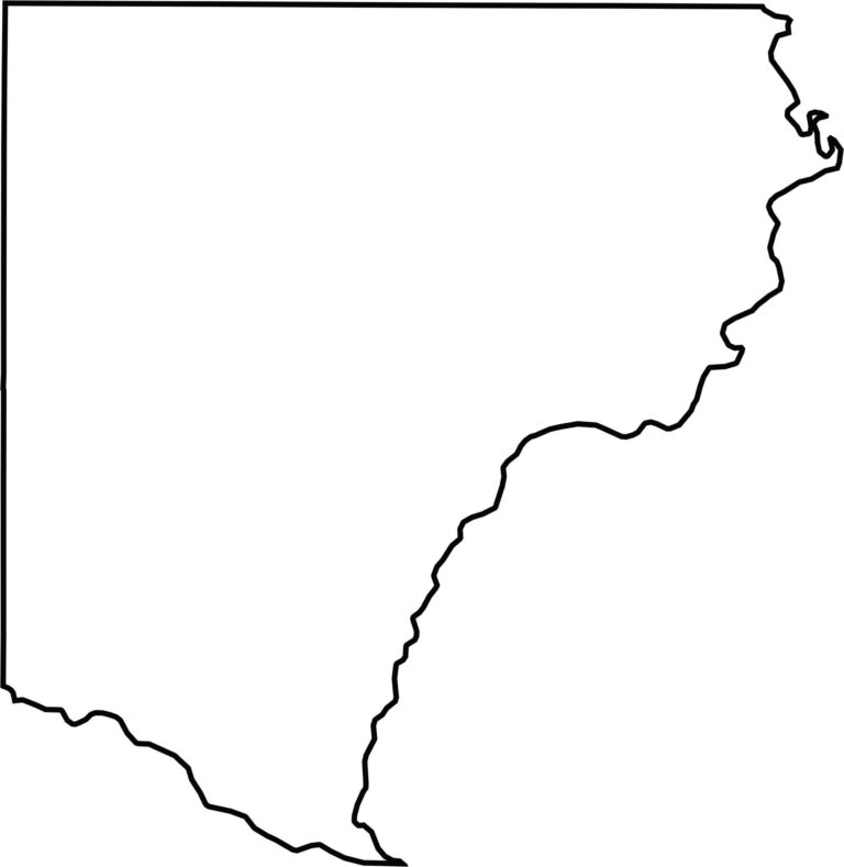
Forsyth County has an irregular shape that roughly resembles a triangle with four main sides. Its eastern boundary follows the winding shoreline of Lake Lanier, creating numerous curves and inlets. The Chattahoochee River also played an important role in shaping the county’s early boundaries.








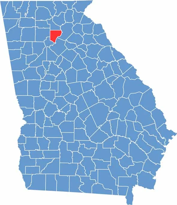
Now available! Our Georgia county map highlights all 159 counties with exceptional detail and clarity. Whether you're exploring geography, planning a trip, or learning more about the Peach State, this comprehensive map is the resource you've been looking for. Discover Georgia like never before and explore every corner of the state.