
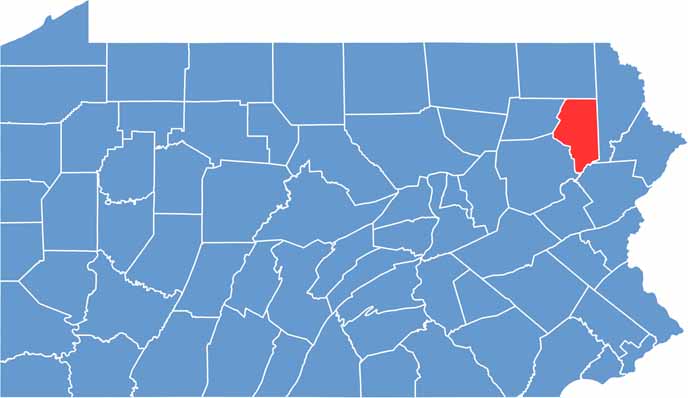
Lackawanna County sits in northeastern Pennsylvania, just north of the Poconos. Scranton, the county seat, is the biggest city. Yeah, that Scranton from "The Office."
Once upon a time, Lackawanna County was coal country. But lately, it's reinventing itself with a focus on education, healthcare, and the arts. The county has a rich immigrant history, reflected in its food and festivals.
The Steamtown National Historic Site is a must-visit for train buffs. Outdoorsy types love to hike in Lackawanna State Park. Finally, the Electric City Trolley Museum pays homage to the area's transportation history.
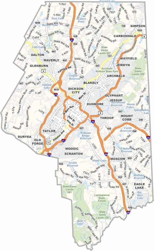
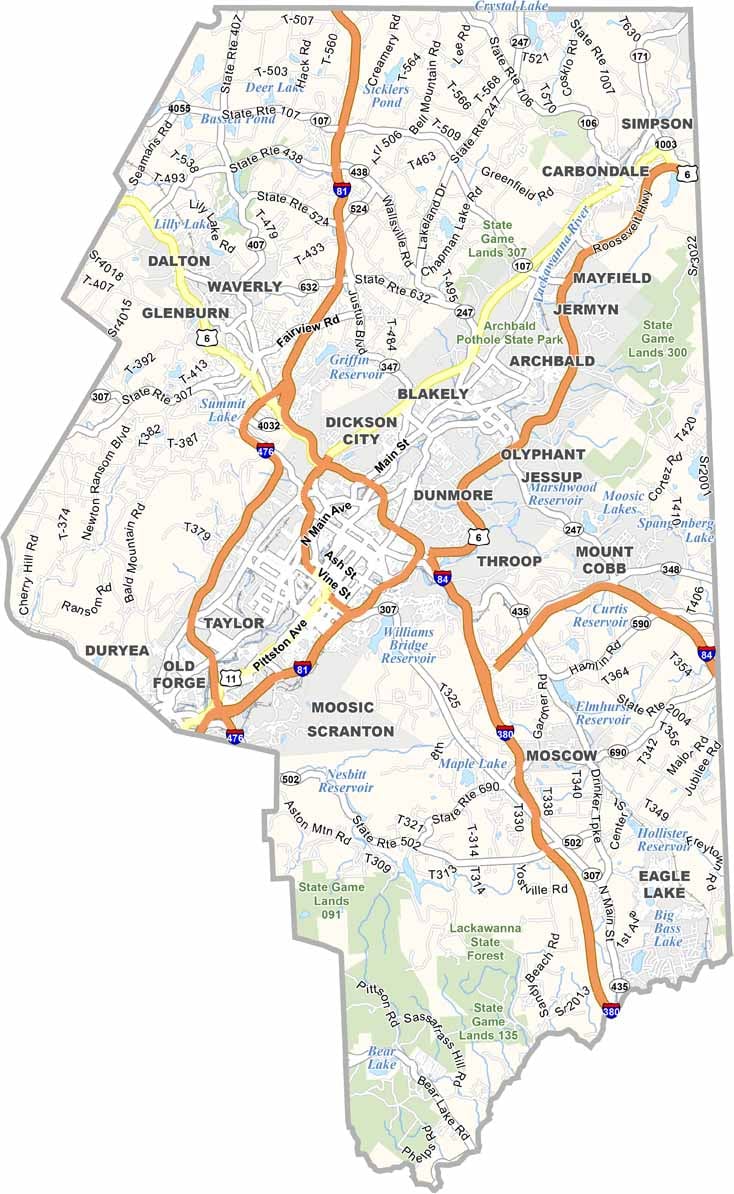
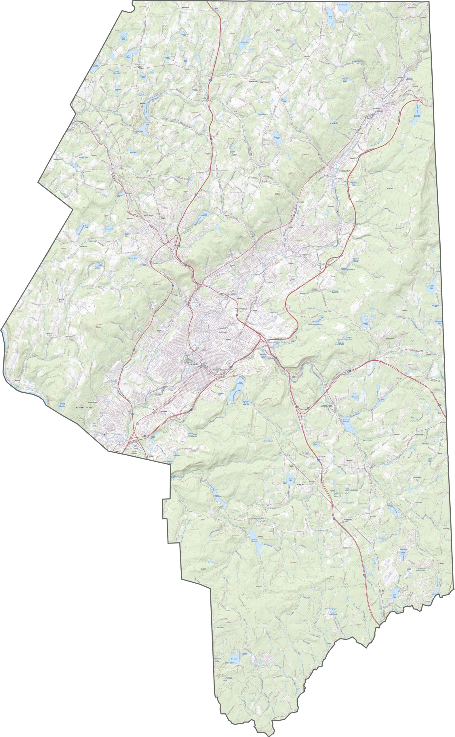
Lackawanna County's highway system is tight and built for hills. Roads loop around ridges and hug river valleys. In Scranton, things get busy fast, while farther out, the roads grow quieter and more winding. If you want a closer look at how the road system works, try our new zoom tool below.
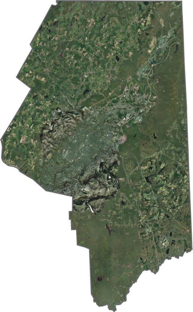
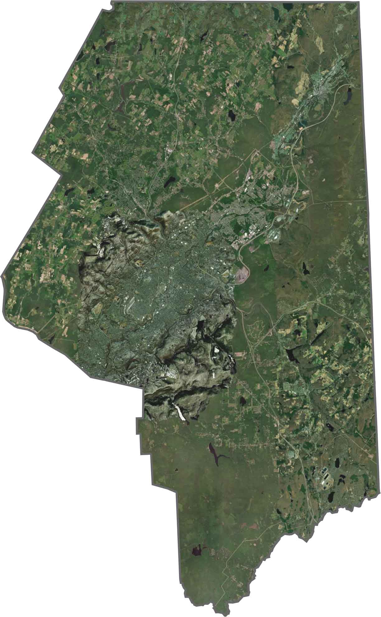
From above, you'll notice dense gray patterns in the Scranton area. Neighborhoods and roads fill the valleys, while forested hills rise sharply around them, dark green and untouched. Simply put, the city is in the central region, with trees up top and down below.
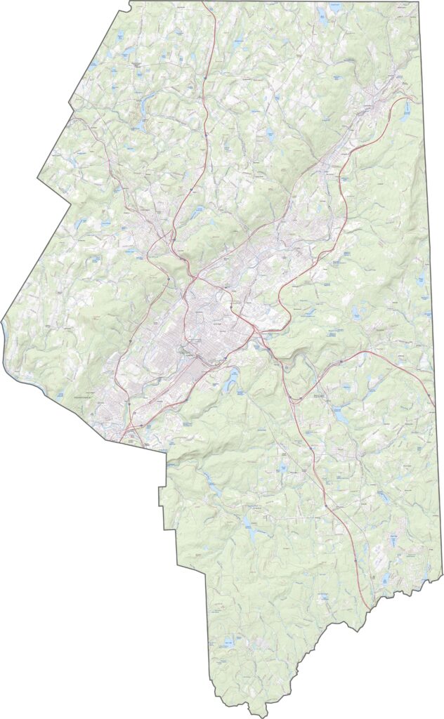
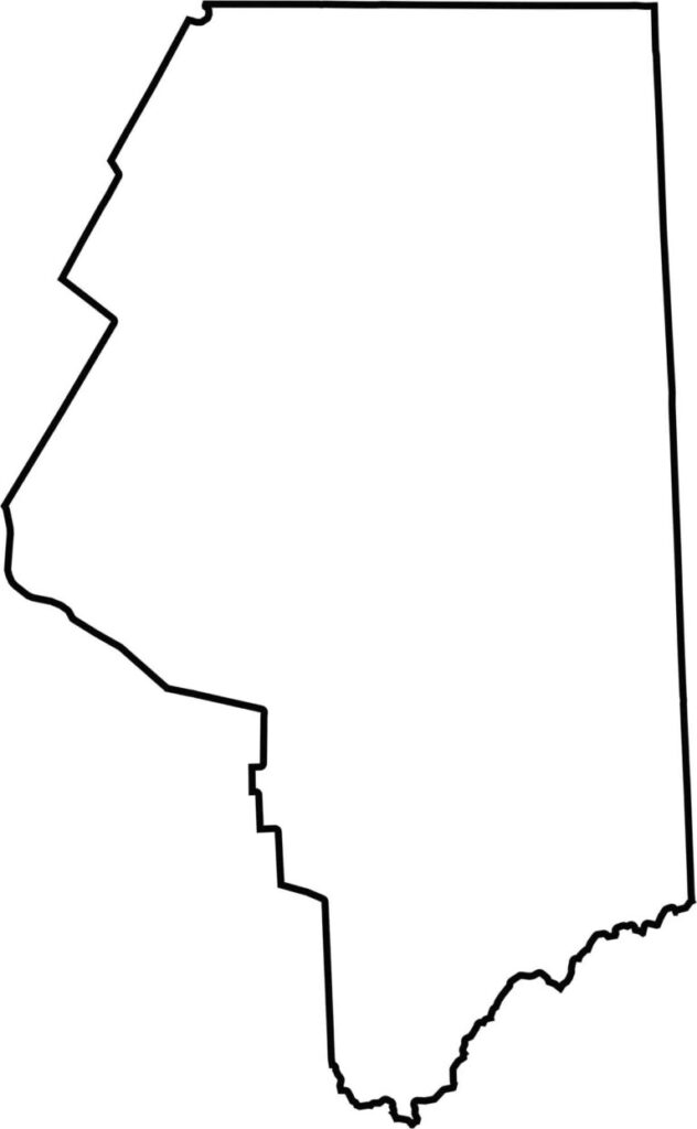
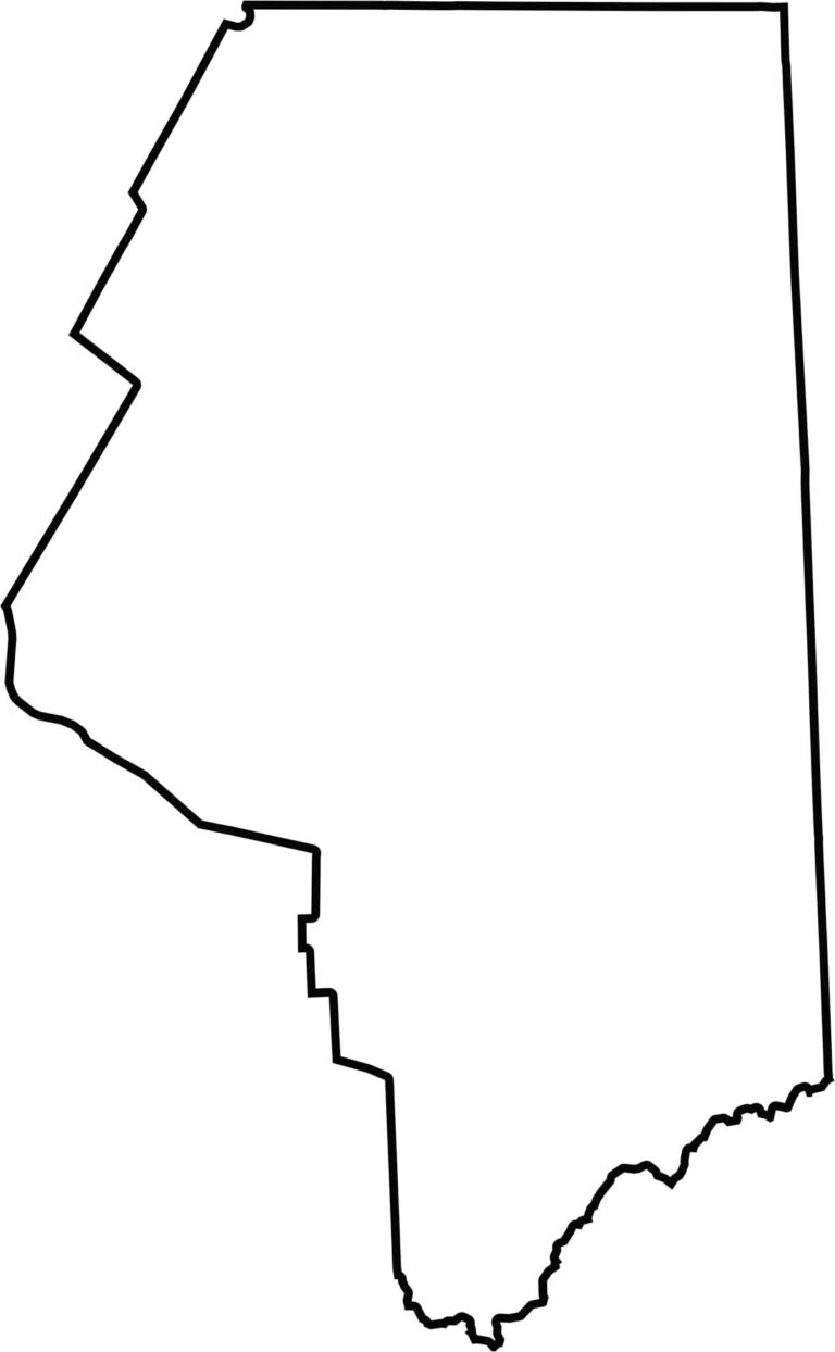
Lackawanna County is long in the vertical direction, running from north to south. It doesn't touch another state. The outline follows land features more than straight lines, especially along the hilly northern edge. The southern border is the Lehigh River.







Pennsylvania's 67 counties take in the glow of the Steel City, quiet Amish country backroads, and escapes in the Pocono Mountains. Distances may differ from place to place, but the stories stay just as rich.