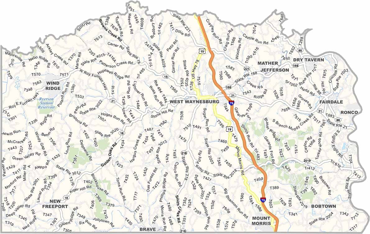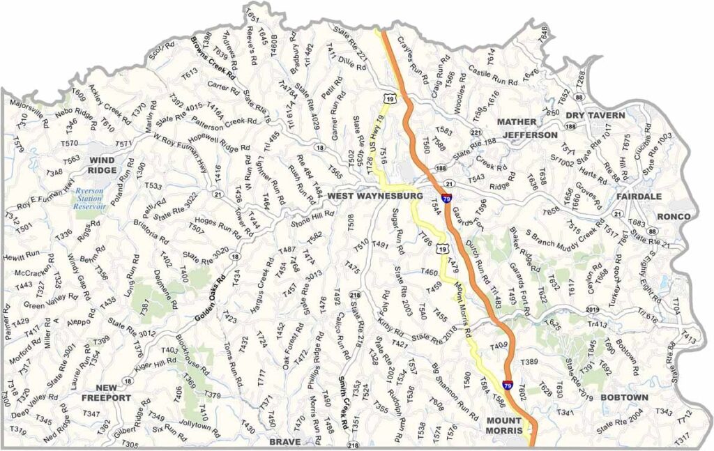
Greene County Map, Pennsylvania

Stone County, Missouri

Greene County occupies the southwest corner of Pennsylvania, with West Virginia bordering it on two sides. Waynesburg, the county seat, is home to the county's small university.

The Monongahela River forms the eastern border and is popular for boating and fishing. As a major wool producer, the county has parts where sheep outnumber people.

A surprising amount of history is packed into the area, from old covered bridges to former Underground Railroad sites. The rolling hills also make for pleasant scenic drives.
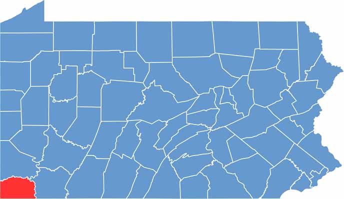

Location map of Greene County, Pennsylvania
CategoryDetails
County NameGreene County
County SeatWaynesburg
EtymologyNamed after Nathanael Greene, a general in the American Revolutionary War
Cities, Towns, and CommunitiesWaynesburg, Carmichaels, Jefferson, Rices Landing, Greensboro
Interstates and HighwaysInterstate 79, State Highway 21, State Highway 88
FIPS Code42-059
Total Area (Land and Water)578 square miles (576 sq mi land, 2 sq mi water)
Adjacent Counties (and Direction)Washington County (North), Fayette County (East), Monongalia County, West Virginia (South), Wetzel County, West Virginia (Southwest), Marshall County, West Virginia (West)
Time ZoneEastern Time Zone (EST)
StatePennsylvania
Coordinates39°53’N, 80°12’W
Major LandmarksRyerson Station State Park, Greene County Historical Society Museum, Thistlethwaite Vineyards
PopulationApproximately 35,000
Scroll to Top