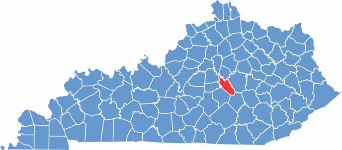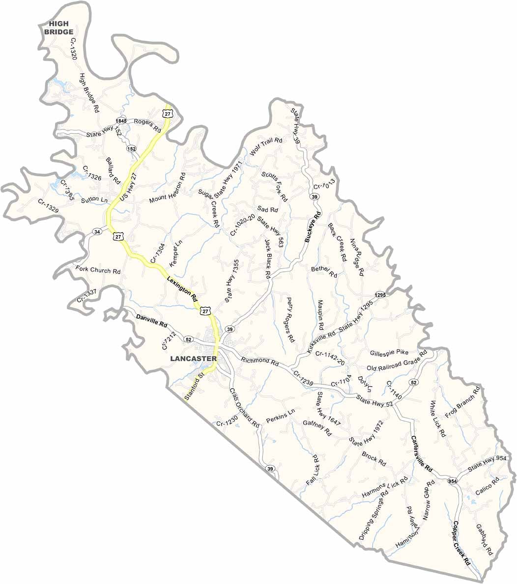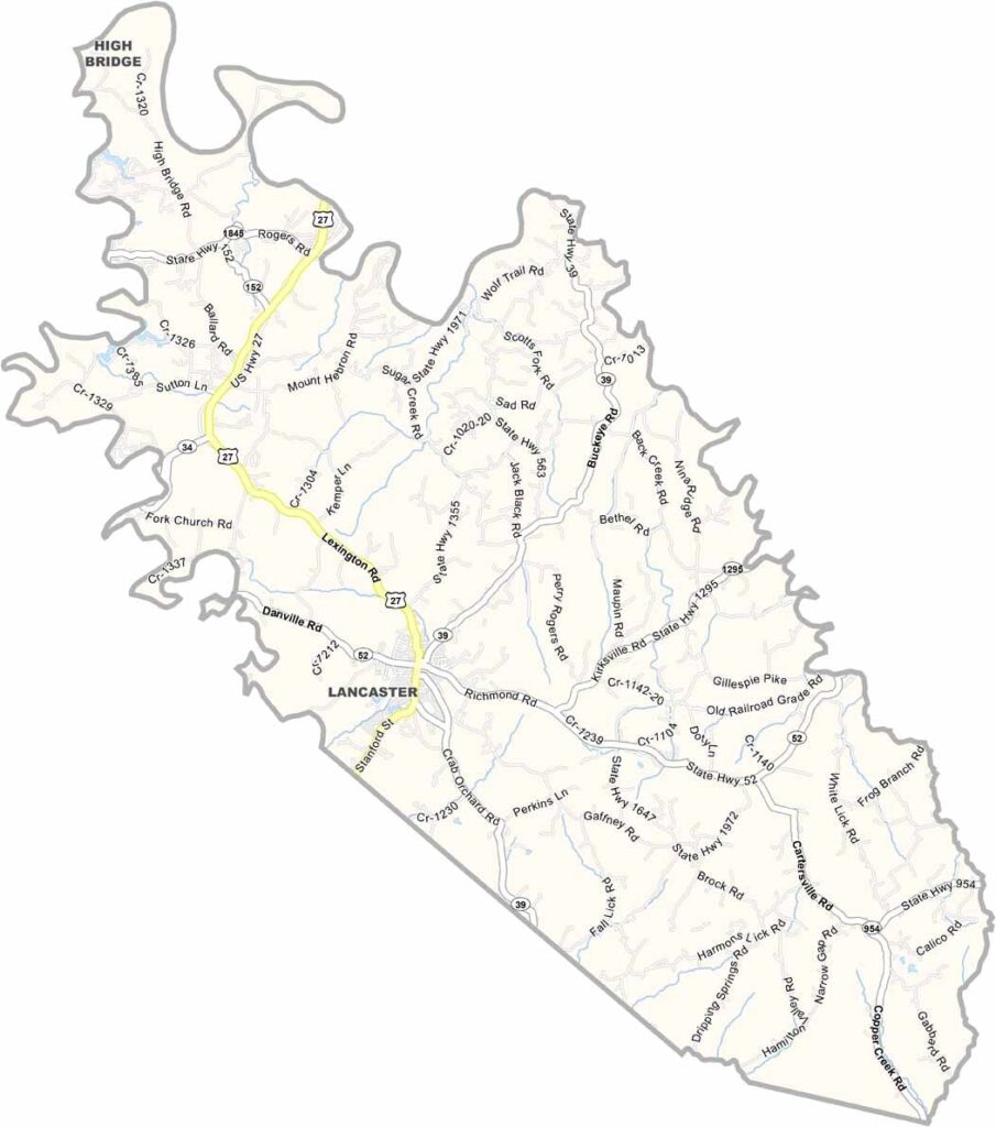
Garrard County is located in central Kentucky, in the heart of the scenic Bluegrass Region. The county was named after James Garrard, an early governor of Kentucky, reflecting its connection to the state’s political and historical heritage.
The county takes pride in its rich history, particularly Camp Dick Robinson, which served as one of the first Union recruitment camps in Kentucky during the Civil War. The historic site remains an important part of Garrard County’s connection to the state’s wartime past.
Today, Garrard County is known for its small-town lifestyle, peaceful communities, and beautiful rolling hills. With a population of around 18,000 residents, the county offers a relaxed rural atmosphere with plenty of open space and opportunities to enjoy the scenic Kentucky countryside.