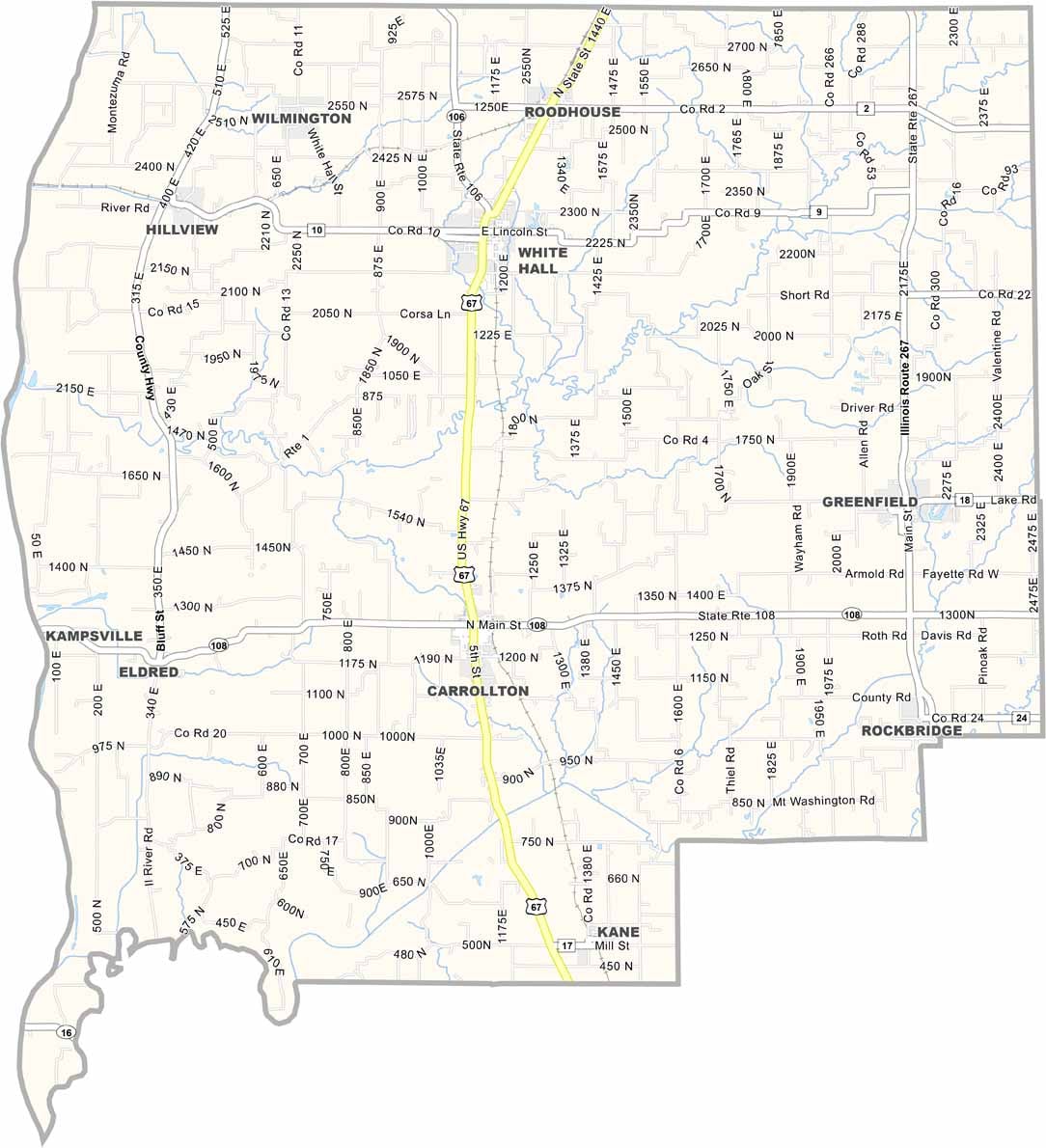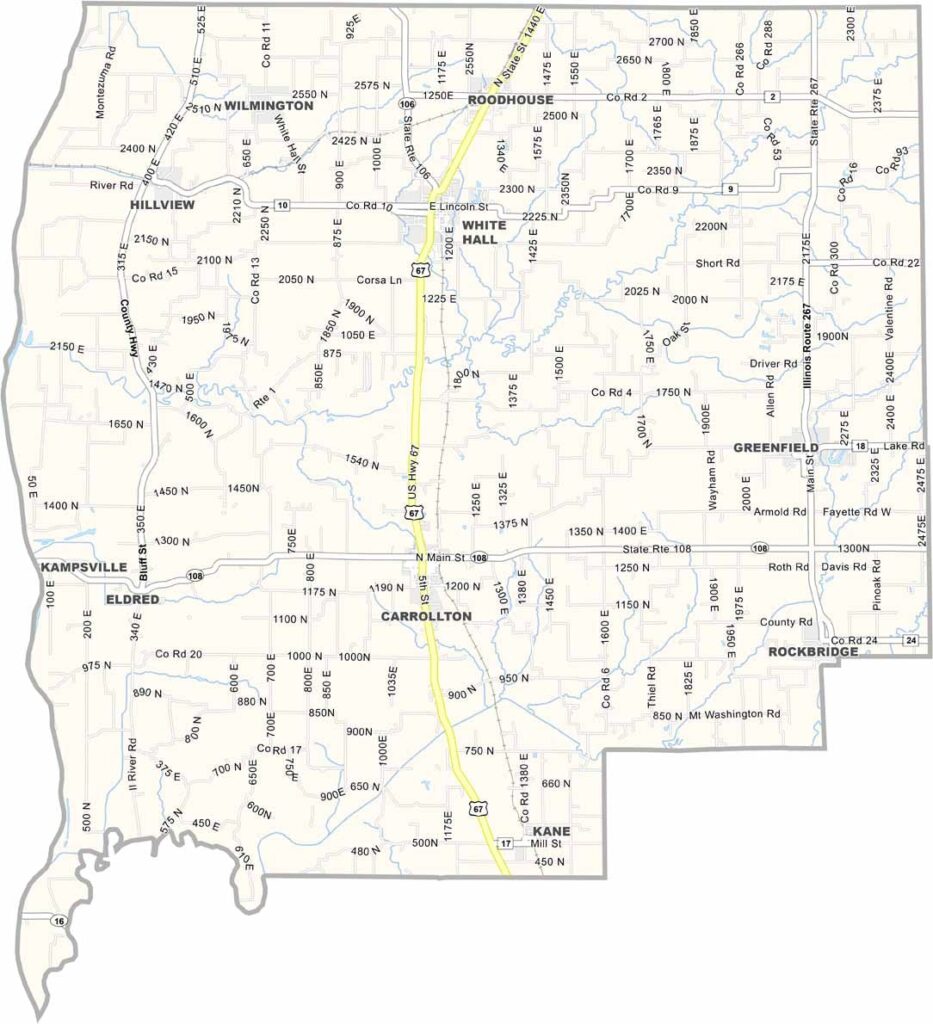
Greene County, Illinois

Greene County is a patch of rural western Illinois that seems untouched by time. Carrollton is the county seat, a quiet town known for its impressive historic courthouse.

The Illinois River forms the county’s western border, offering some decent fishing spots. On some roads, you’ll see more tractors than cars.

Unfortunately, the population has been shrinking for years, but the folks who stay are here for the long haul. There’s even an old-school drive-in theater that still shows double features during the summer.


Printable Stone County Missouri location map showing county location and boundaries
CategoryDetails
County NameGreene County
County SeatCarrollton
Cities, Towns, and CommunitiesCarrollton, White Hall, Roodhouse, Greenfield, Hillview, Kane, Eldred, Rockbridge, and various other unincorporated communities.
Interstates and HighwaysU.S. Highway 67, Illinois Route 108, Illinois Route 267, Illinois Route 100
FIPS Code17-061
Total Area (Land and Water)546 square miles (land: 543 sq mi, water: 3 sq mi)
Adjacent Counties (and Direction)Scott County (North), Morgan County (North), Macoupin County (East), Jersey County (South), Calhoun County (Southwest), Pike County (Northwest)
Time ZoneCentral Time Zone (CT)
StateIllinois
Coordinates39.3562° N, 90.2006° W
EtymologyNamed after Nathanael Greene, a major general in the Continental Army during the American Revolutionary War
Major LandmarksGreene County Courthouse, Apple Creek Prairie, Eldred House, Illinois River, and the historic Carrollton Public Square
PopulationApproximately 11,500
Scroll to Top