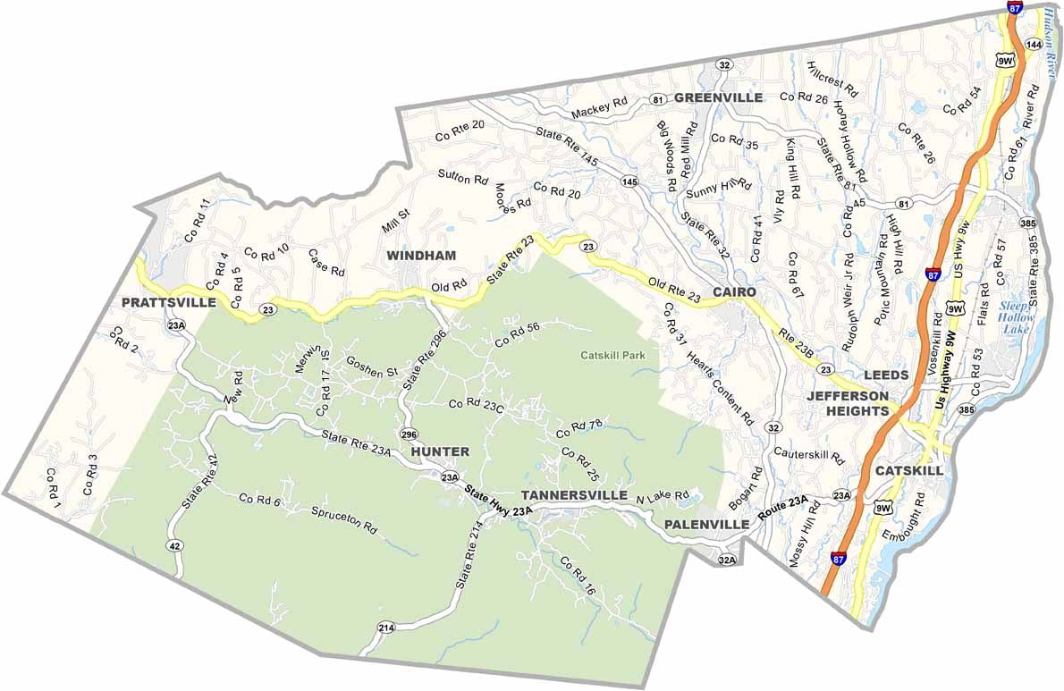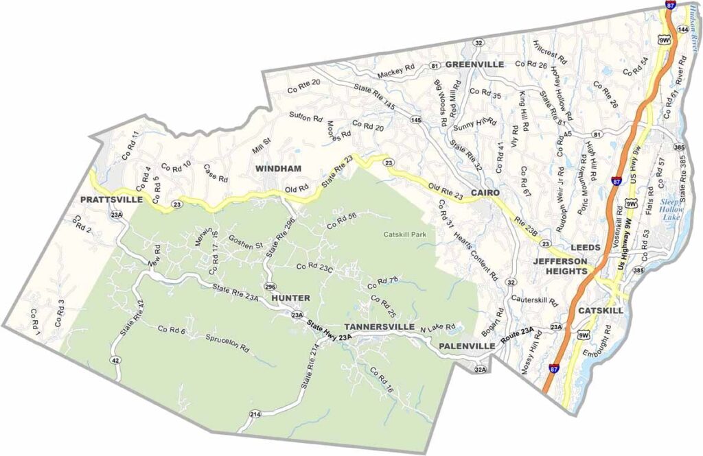
Greene County Map, New York

Greene County, New York

Greene County sits along the eastern edge of the Catskill Mountains in southeastern New York. Hunter Mountain is one of the region’s premier ski resorts and draws skiers and hikers looking for outdoor adventure.

The county is named after Revolutionary War General Nathanael Greene. Some of the most scenic stretches of the Hudson River can be found here. The Thomas Cole National Historic Site also celebrates the father of the Hudson River School of painting.

Adventure seekers can check out New York Zipline Adventures, known for its long and high canopy zipline tour. The course reaches nearly 600 feet above the ground. Greene County also has a rich tradition of fly fishing, while Catskill serves as the county seat.
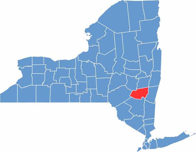

Greene County location map of New York
CategoryDetails
County NameGreene County
County SeatCatskill
EtymologyNamed after Nathanael Greene, a major general in the American Revolutionary War
Cities, Towns, and CommunitiesCatskill, Windham, Hunter, Coxsackie, Tannersville, Cairo
Interstates and HighwaysInterstate 87, U.S. Route 9W, New York State Route 23, New York State Route 32
FIPS Code36-039
Total Area (Land and Water)658 square miles (647 sq mi land, 11 sq mi water)
Adjacent Counties (and Direction)Albany County (North), Rensselaer County (Northeast), Columbia County (East), Ulster County (South), Delaware County (West), Schoharie County (Northwest)
Time ZoneEastern Time Zone (ET)
StateNew York
Coordinates42.2955° N, 73.8648° W
Major LandmarksHunter Mountain, Kaaterskill Falls, Windham Mountain Resort, Catskill Park
PopulationApproximately 48,000
Scroll to Top