
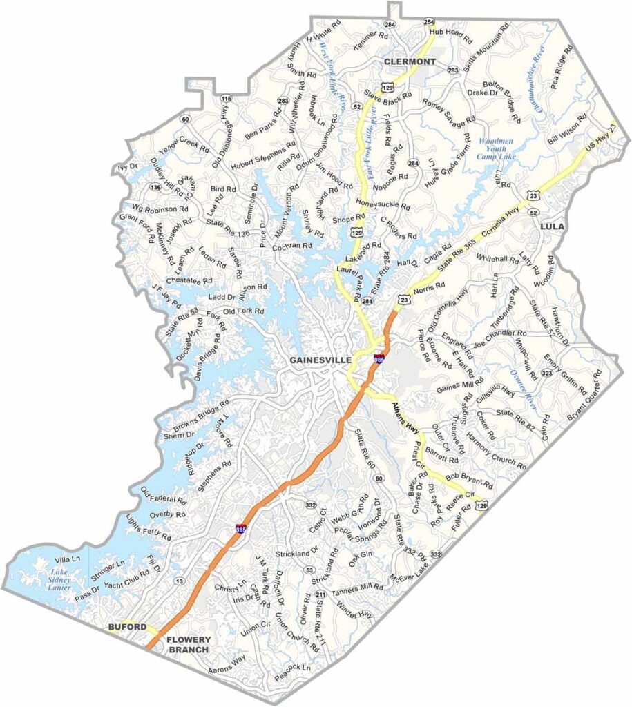
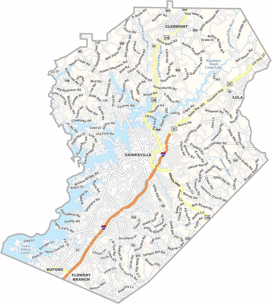
Hall County is located in North Georgia and is centered around Gainesville, known as the “Poultry Capital of the World.” The county also offers plenty of natural beauty, with Lake Lanier providing a major destination for boating, fishing, and other water activities.
Lake Lanier was created by damming the Chattahoochee River and covers a significant portion of the county. Hall County also hosted the rowing events during the 1996 Summer Olympics, leaving behind a world-class rowing venue that continues to attract visitors and athletes.
The local economy is diverse, with poultry processing, manufacturing, healthcare, and other industries supporting the region. Hall County has also become more culturally diverse as its Hispanic community has grown. Gainesville’s historic downtown features local shops, restaurants, and regular community events, adding to the county’s North Georgia character.
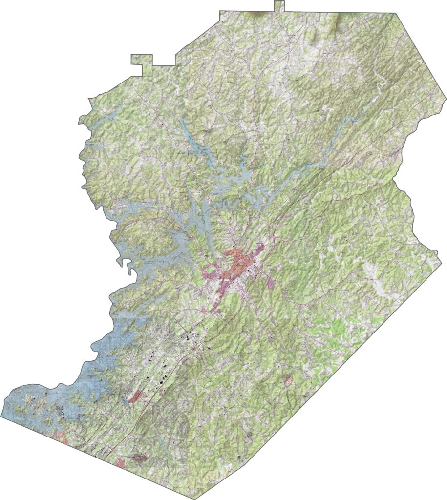
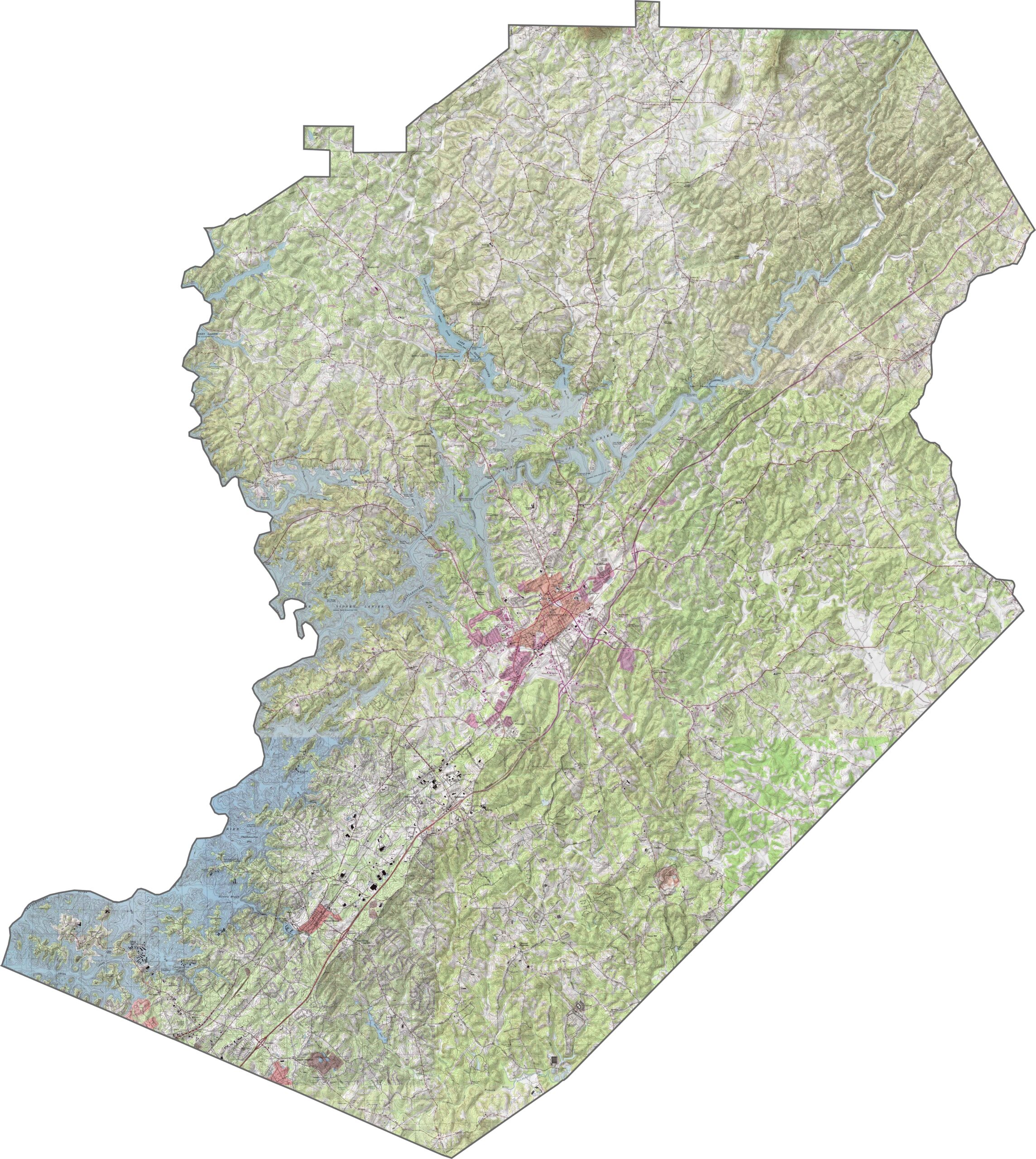
Our Hall County topographic map highlights rolling hills, ridges, and the extensive shoreline of Lake Lanier. The terrain slopes toward the lake, creating numerous inlets and peninsulas. Use our zoom tool to explore elevation changes around Gainesville and the surrounding countryside.
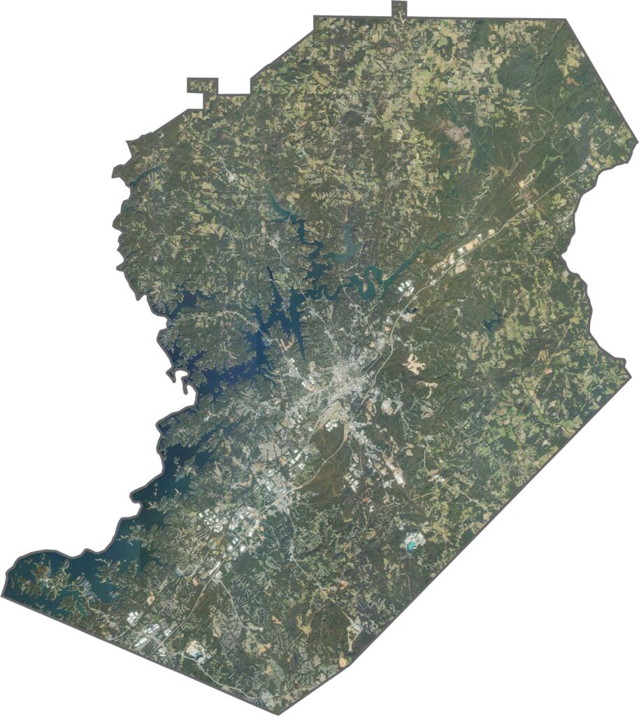
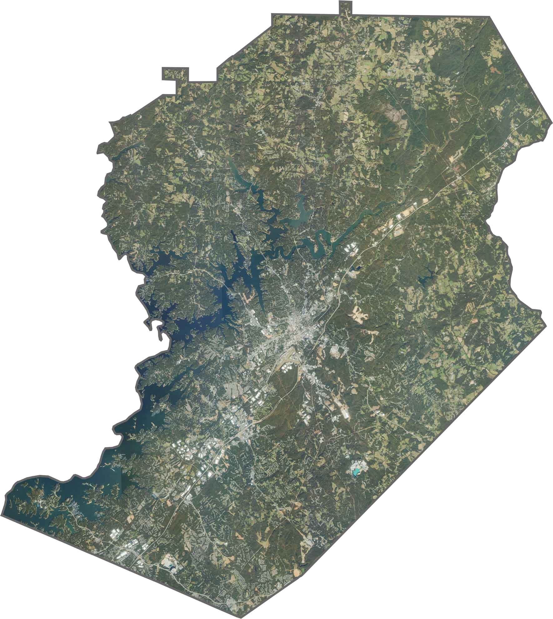
Our satellite map provides a clear overhead view of Hall County. You’ll see Gainesville’s cityscape, major highways such as I-985, and the deep blue waters of Lake Lanier. Forests, farmland, and suburban neighborhoods stand out across the landscape. Use the zoom tool to get a closer look at how the county is laid out.
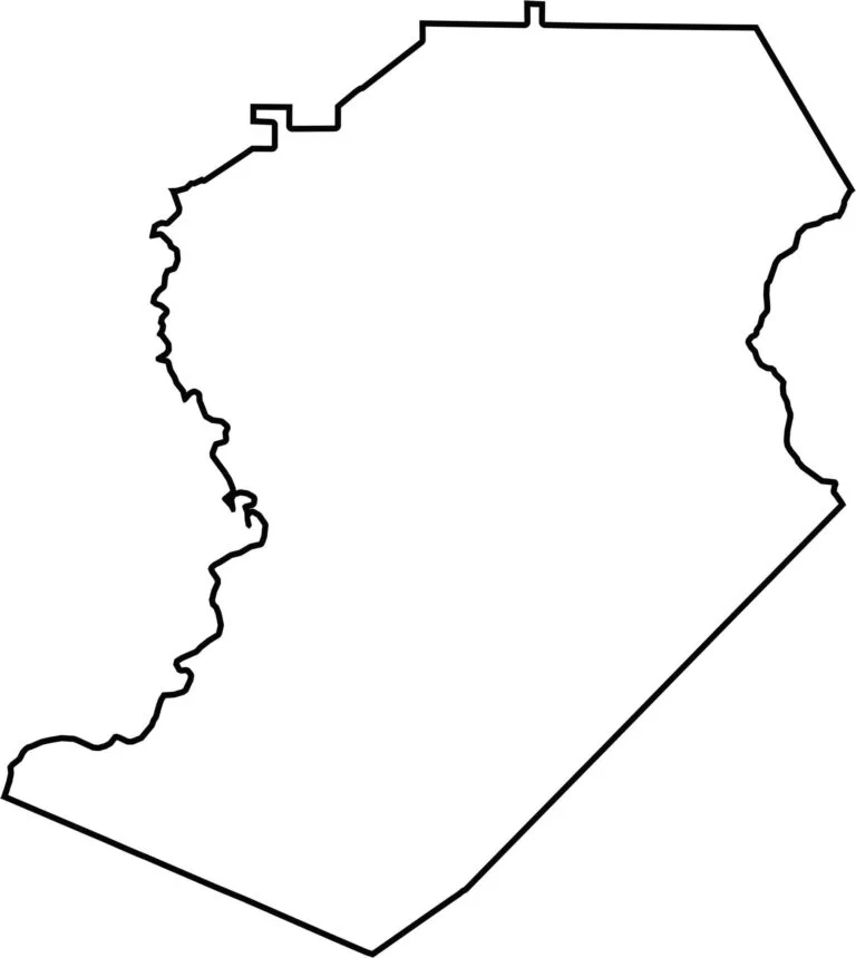
Our outline map keeps things simple, showing only Hall County’s borders. Its irregular shape is influenced by the many inlets and peninsulas along Lake Lanier, giving the county a distinctive outline.








Now available! Our Georgia county map highlights all 159 counties with exceptional detail and clarity. Whether you're exploring geography, planning a trip, or learning more about the Peach State, this comprehensive map is the resource you've been looking for. Discover Georgia like never before and explore every corner of the state.