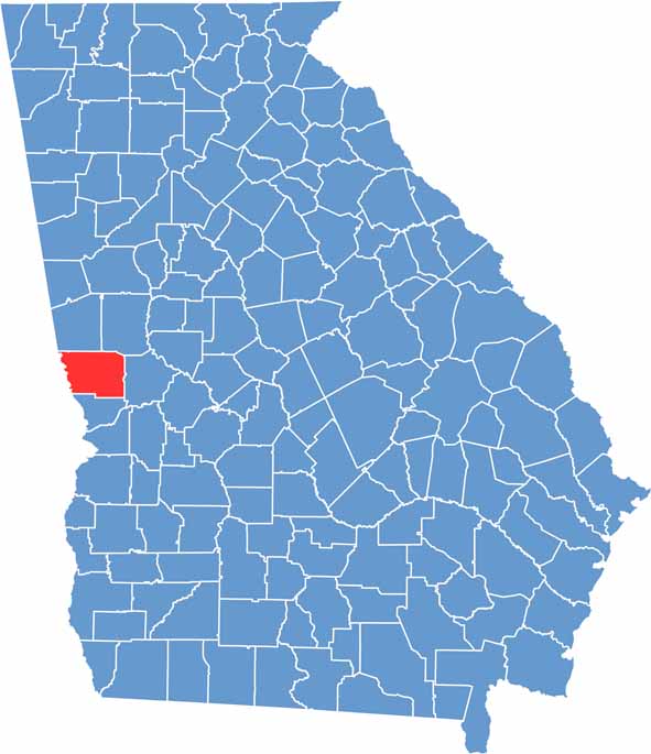
Haralson County is located along Georgia’s western border with Alabama, where the Piedmont region transitions into the Appalachian foothills. Buchanan serves as the county seat and reflects the county’s small-town character and strong community spirit.
The county is known for its scenic landscapes of rolling hills, forests, and open countryside. The Tallapoosa River provides opportunities for fishing, kayaking, and other outdoor recreation. Haralson County’s economy is supported by a mix of manufacturing, agriculture, and locally owned businesses.
Rich in history, the county contains several sites connected to the Trail of Tears and the region’s early settlement. Community events such as the Haralson County Fair celebrate its agricultural traditions and rural heritage. With its natural beauty, historical significance, and welcoming atmosphere, Haralson County offers a distinctive glimpse into west Georgia life.