
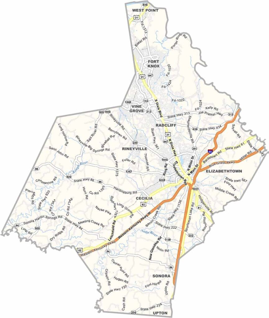
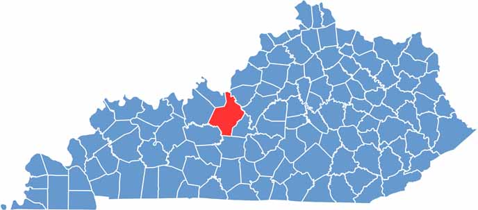
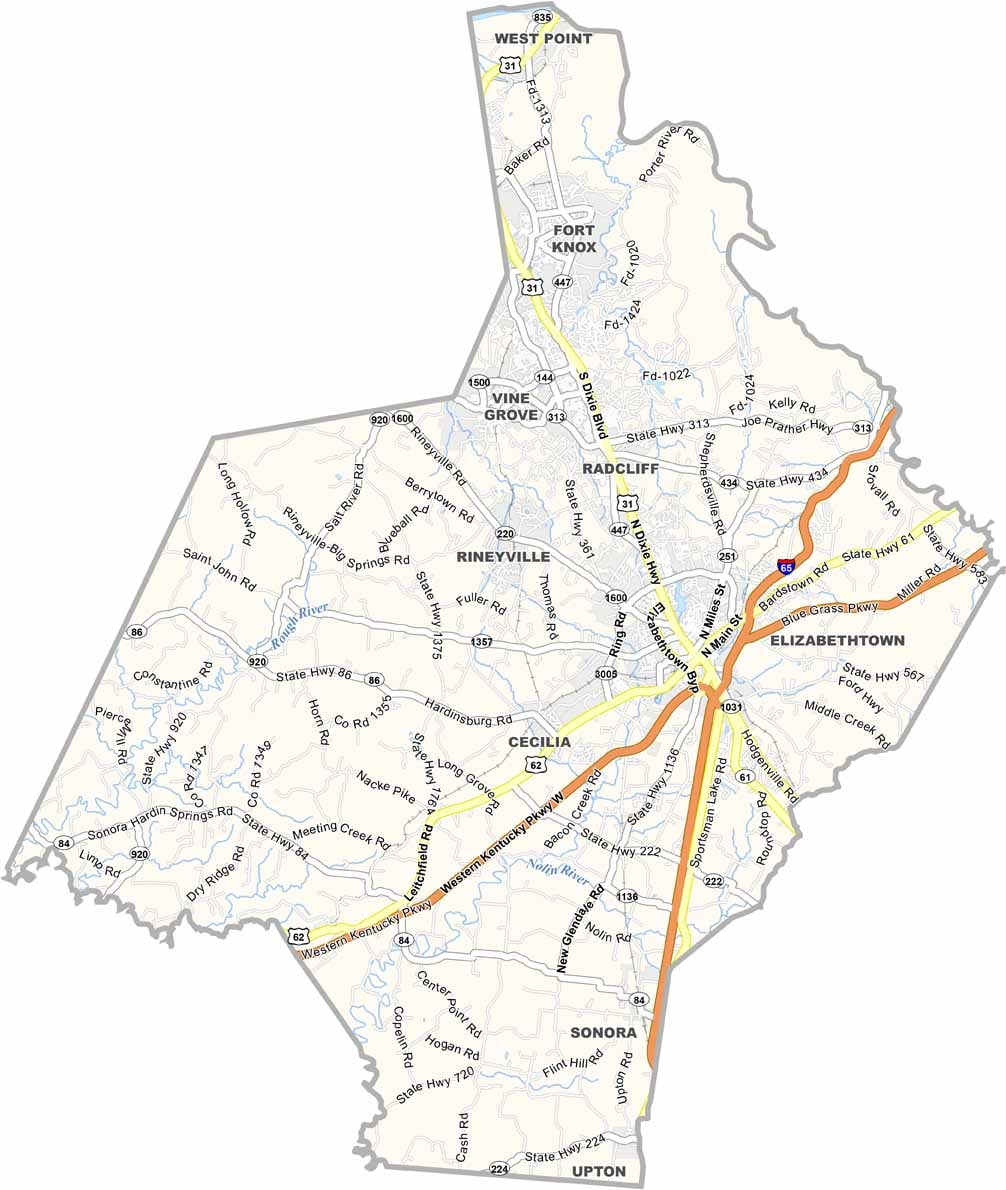
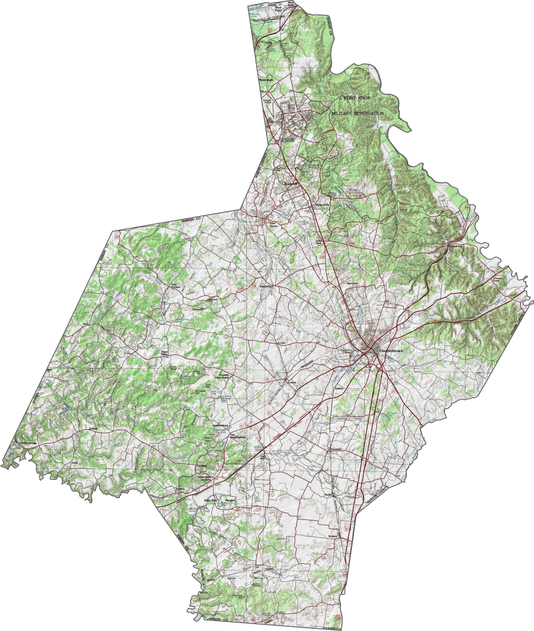
Hardin County is located in central Kentucky and is one of the state’s larger counties. It is home to Fort Knox, a major military installation long associated with the nation’s gold reserves and Kentucky’s military heritage.
Elizabethtown, the county seat, is home to attractions such as the Swope’s Cars of Yesteryear Museum, which showcases an impressive collection of historic automobiles. Interstate 65 runs through the county, providing convenient connections and bringing travelers through the region.
The county also features Freeman Lake Park, a popular destination for picnics, fishing, and outdoor events. Agriculture remains an important part of the local economy, with corn and soybeans among the area’s primary crops.
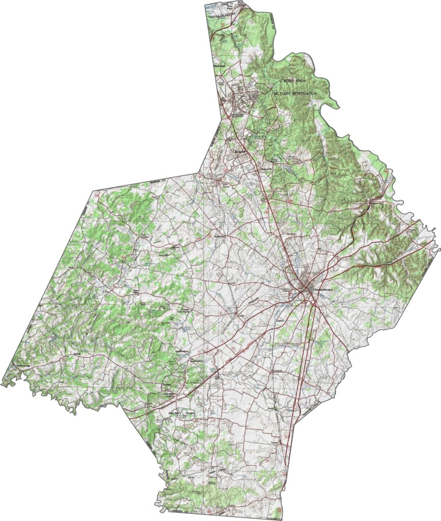
Hardin County’s landscape features rolling low hills and shallow valleys typical of the Kentucky Knobs region. Some of the county’s higher elevations are found near Fort Knox, while areas around Muldraugh Hill offer scenic overlooks and varied terrain despite the absence of major mountains.
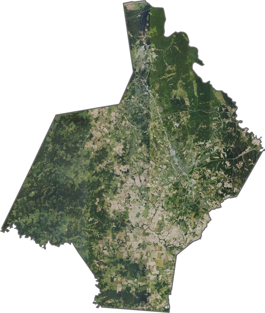
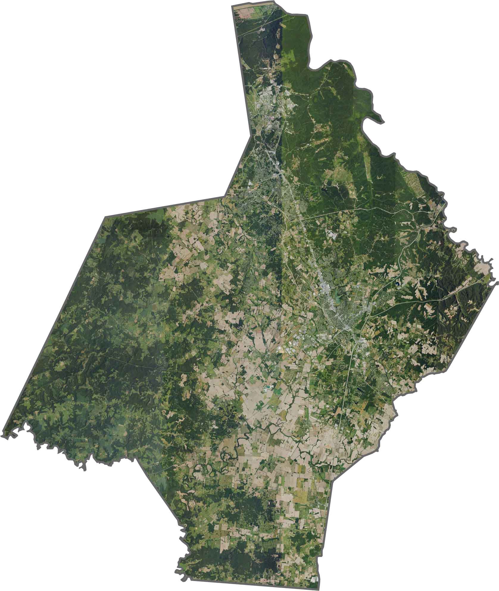
From above, Elizabethtown stands out with streets arranged in an organized pattern, while much of the surrounding county is covered by forests and farmland. The Ohio River occupies a small portion of the county’s northern edge, adding another notable geographic feature to the landscape.
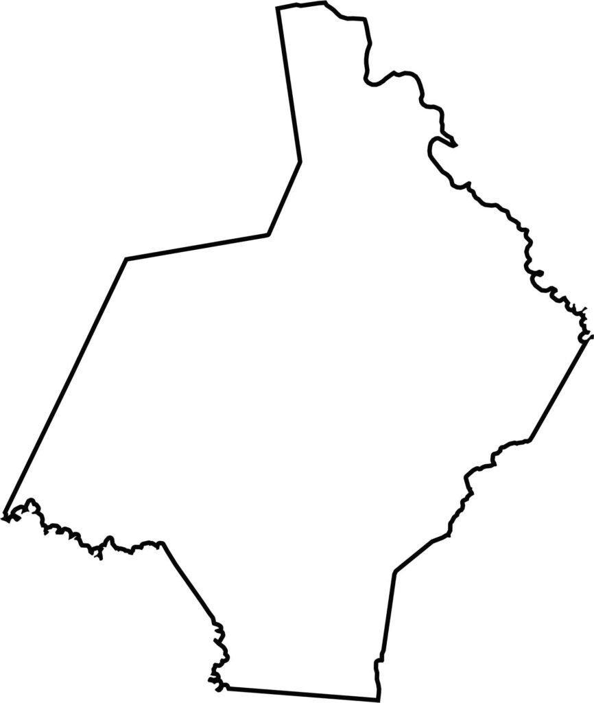
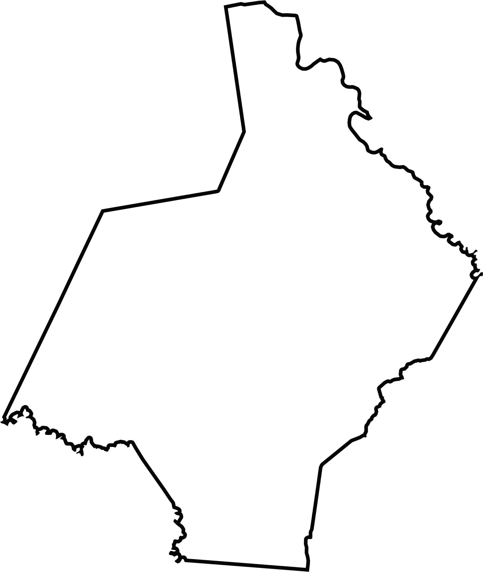
The Hardin County outline is irregular, with several waterways helping define portions of its boundaries. Indiana lies across the Ohio River to the north, while Hardin County also borders Meade County, Bullitt County, and LaRue County, among others.
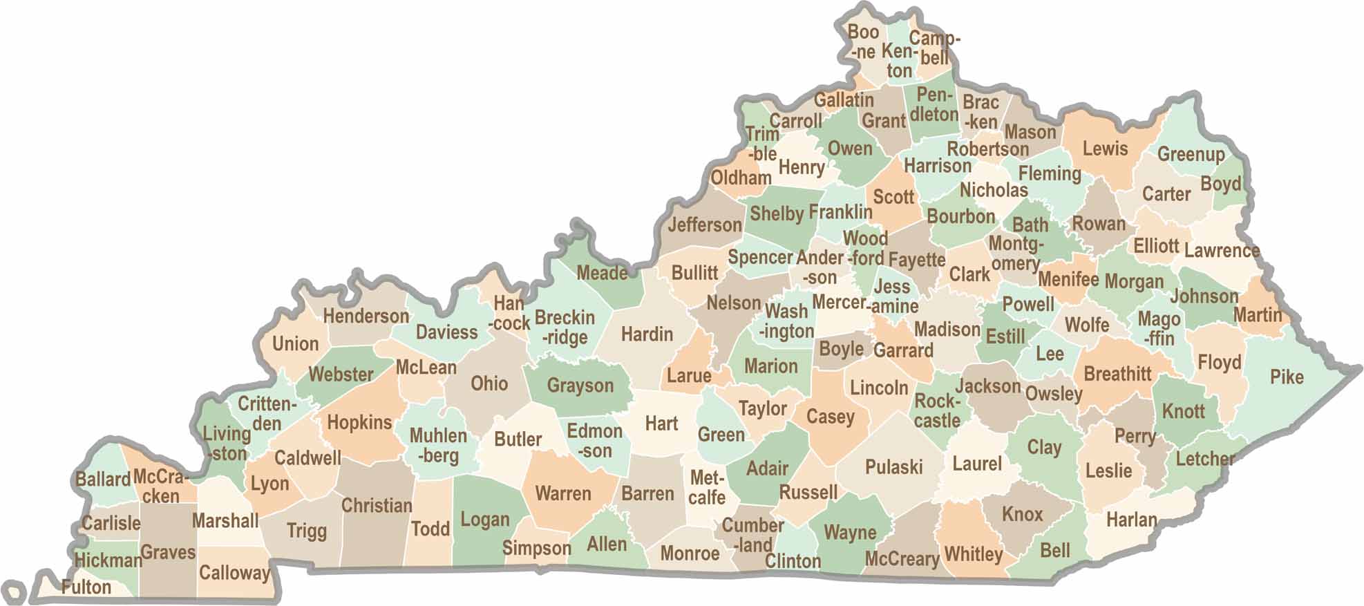
Kentucky isn’t just about bluegrass and bourbon. It’s a state where towering forests, rolling landscapes, and rich local stories come together. Explore the state in greater detail and find your way with one of our Kentucky County Map