
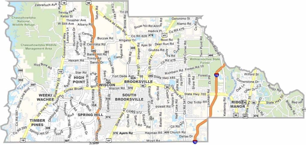
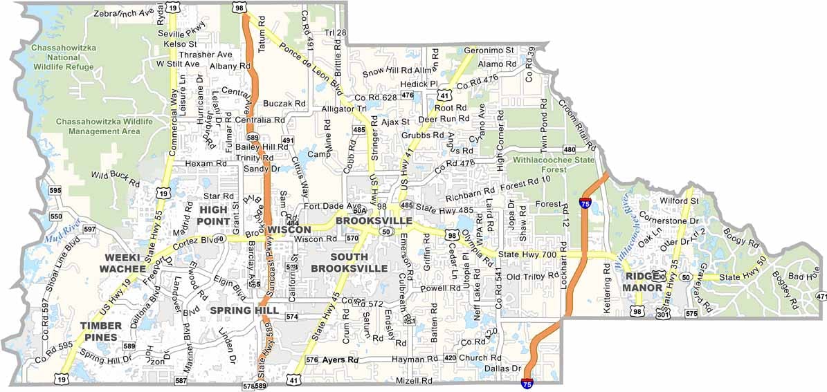
Hernando County is where Florida’s Nature Coast truly comes to life. Brooksville, the county seat, is set among rolling hills—a landscape that feels unusual in Florida. Meanwhile, Spring Hill offers the classic Florida retirement atmosphere, with a relaxed suburban feel.
The famous Weeki Wachee mermaids have attracted visitors for decades, while Gulf fishing and scalloping are especially popular during the spring and summer months. The county is also home to caves, another rare natural feature in Florida, and the Withlacoochee State Forest provides miles of scenic trails for outdoor enthusiasts.
Hernando County blends rural landscapes with growing suburbs, giving residents plenty of opportunities for kayaking and paddleboarding on crystal-clear springs. With its natural beauty, small-town charm, and quirky attractions, Hernando County offers a distinctive Old Florida experience with plenty of character.
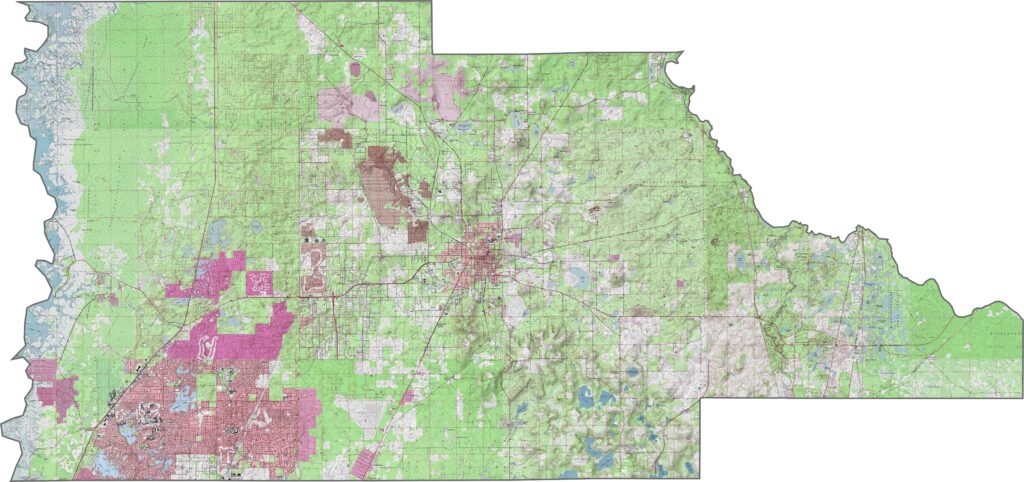
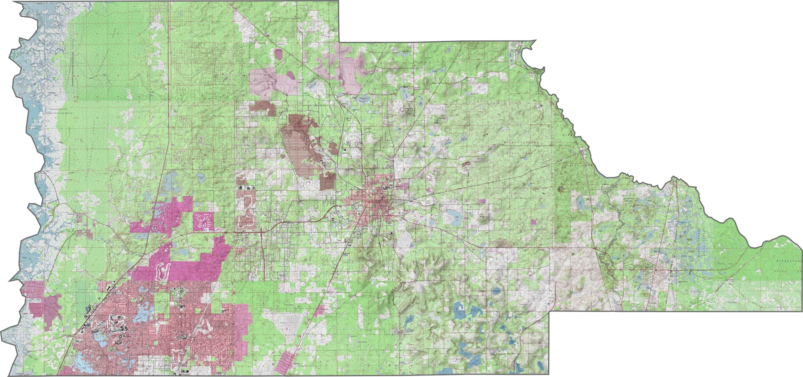
Brooksville sits near the center of our topographic map of Hernando County. Using the zoom tool, you can clearly see the Brooksville Ridge stretching north to south and creating the county’s distinctive elevation changes.
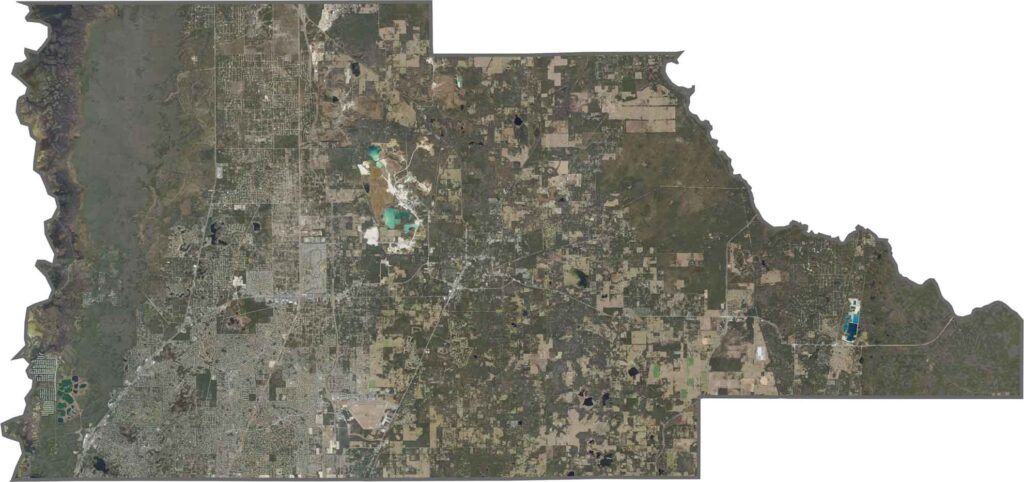
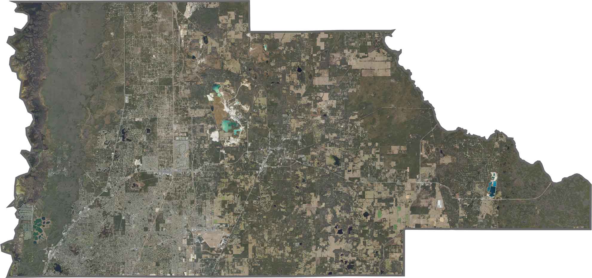
Our satellite map of Hernando County highlights the Withlacoochee River along much of the eastern county boundary, while the Weeki Wachee River also stands out across the landscape. Brooksville occupies some of the county’s higher ground, surrounded by rolling green hills.
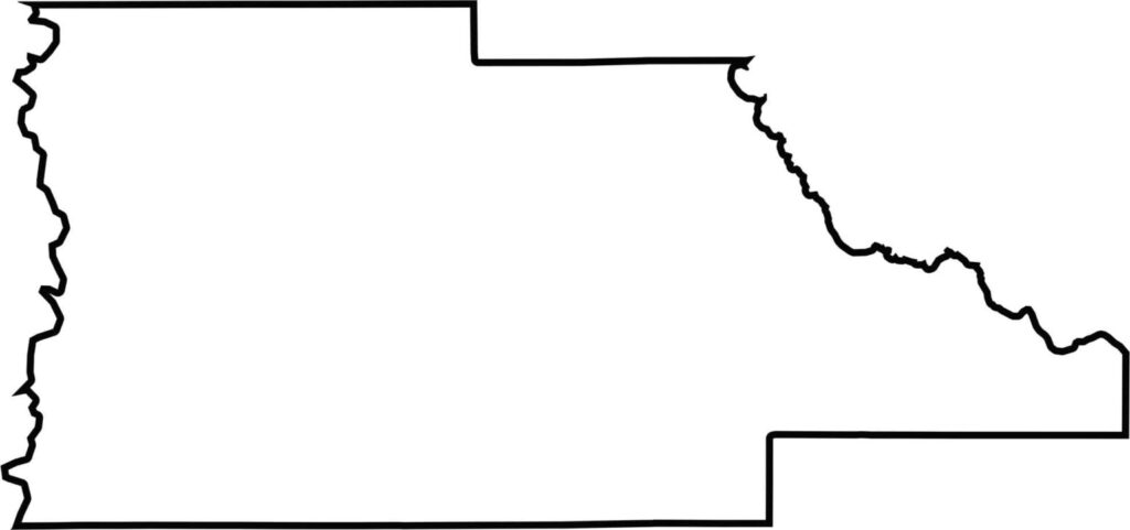
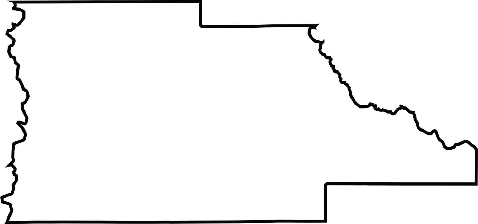
Our outline map of Hernando County shows its generally rectangular shape, with the Gulf of Mexico creating an irregular western coastline. The Withlacoochee River also helps define part of the county’s eastern border.







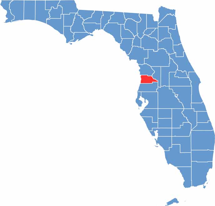
Looking for a county map of Florida? Our Florida County Map breaks down all 67 counties across the Sunshine State. Explore Florida through detailed topographic, satellite, and outline maps to better understand its geography, landscapes, and county boundaries.