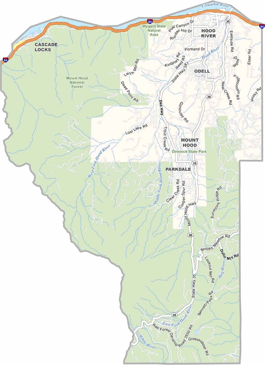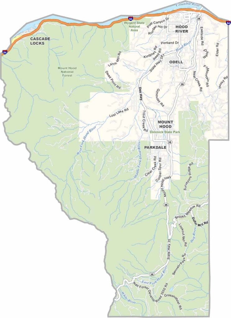
Hood River County Map, Oregon

Hood River County, Oregon

Hood River County is a slice of northern Oregon and a paradise for anyone who loves the outdoors. The Columbia River Gorge cuts through the north, creating a natural wind tunnel.

That wind makes it a popular spot for kiteboarders and windsurfers who come from around the world. Mount Hood looms to the south as a year-round playground, and orchards carpet the valley floor.

The county's namesake town, Hood River, is hip and happening, with craft breweries and farm-to-table restaurants all around. Mount Hood National Forest covers most of the area. It is a small county with an outsized reputation, offering beauty and adventure in equal measure.
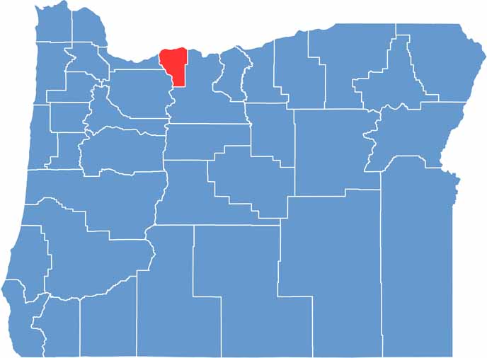

Location map of Hood River County, Oregon
CategoryDetails
County NameHood River County
County SeatHood River
EtymologyNamed after the Hood River
Cities, Towns, and CommunitiesHood River, Cascade Locks, Odell
Interstates and HighwaysInterstate 84, U.S. Highway 30, State Highway 35
FIPS Code41-027
Total Area (Land and Water)533 square miles (522 sq mi land, 11 sq mi water)
Adjacent Counties (and Direction)Skamania County, Washington (North), Klickitat County, Washington (Northeast), Wasco County (Southeast), Clackamas County (Southwest), Multnomah County (West)
Time ZonePacific Time Zone (PST)
StateOregon
Coordinates45°32’N, 121°38’W
Major LandmarksMount Hood, Columbia River Gorge National Scenic Area, Hood River Fruit Loop
PopulationApproximately 26,000
Scroll to Top