
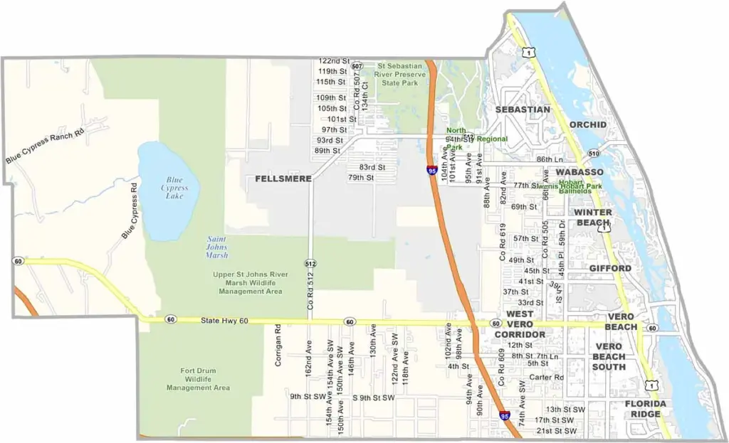
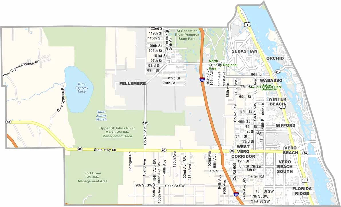
Indian River County stretches along Florida’s scenic Treasure Coast and takes its name from the Indian River Lagoon. Citrus groves remain an important part of the landscape, although their presence has declined compared with previous decades.
Sebastian Inlet attracts surfers from across the region with its consistent waves, while the county is also home to some of Florida’s wealthiest communities, including secluded areas behind gated entrances.
Vero Beach, the county seat, combines a relaxed beach town atmosphere with a growing selection of cultural attractions. Downtown Vero Beach features an expanding arts scene, charming shops, and local restaurants, while Pelican Island National Wildlife Refuge, the nation’s first wildlife refuge, sits just offshore.
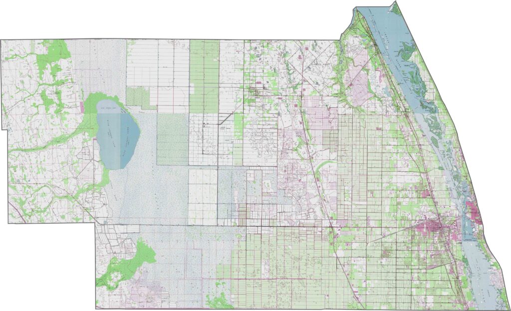
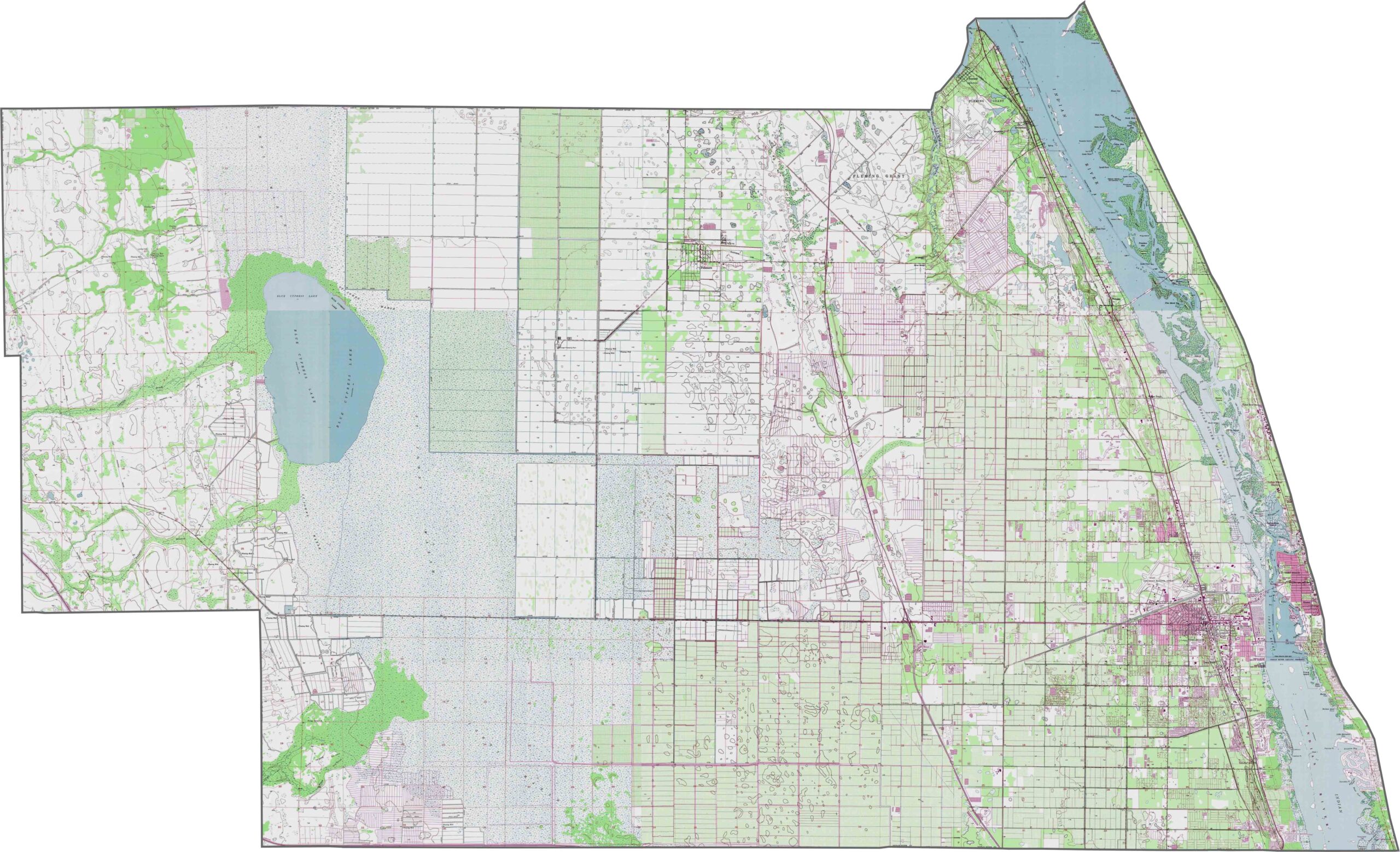
Our Indian River County topographic map highlights its predominantly flat coastal landscape. Vero Beach sits between the Atlantic Ocean and the expansive Indian River Lagoon system, which is clearly visible on the map. Our zoom tool also brings Pelican Island, America’s first National Wildlife Refuge, into closer view.
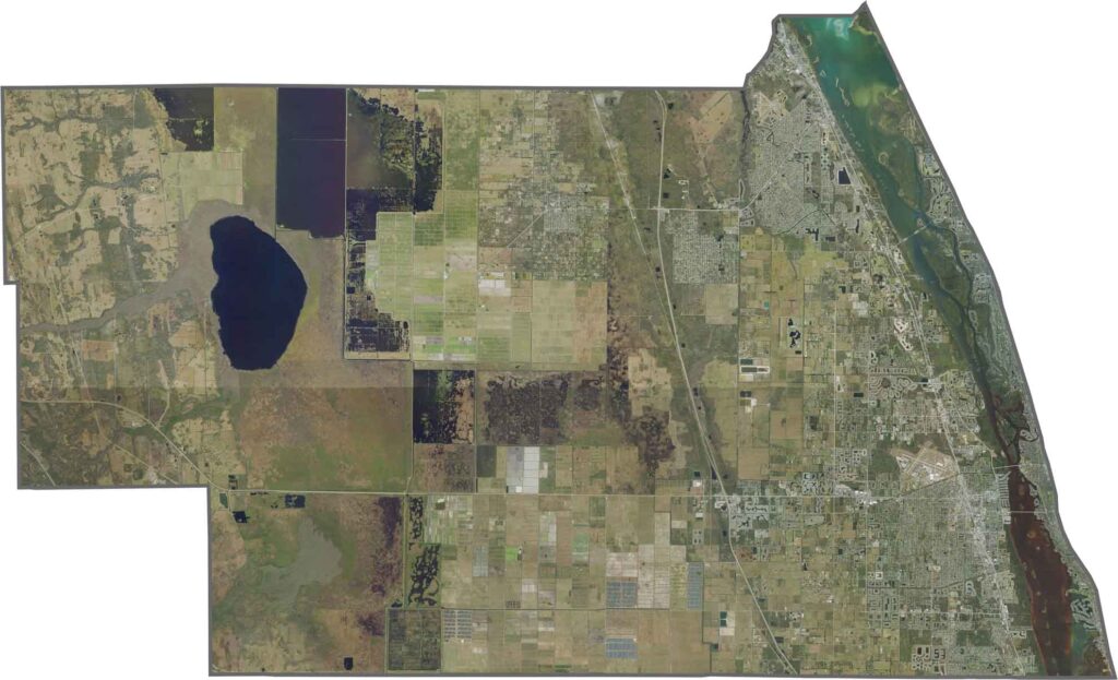
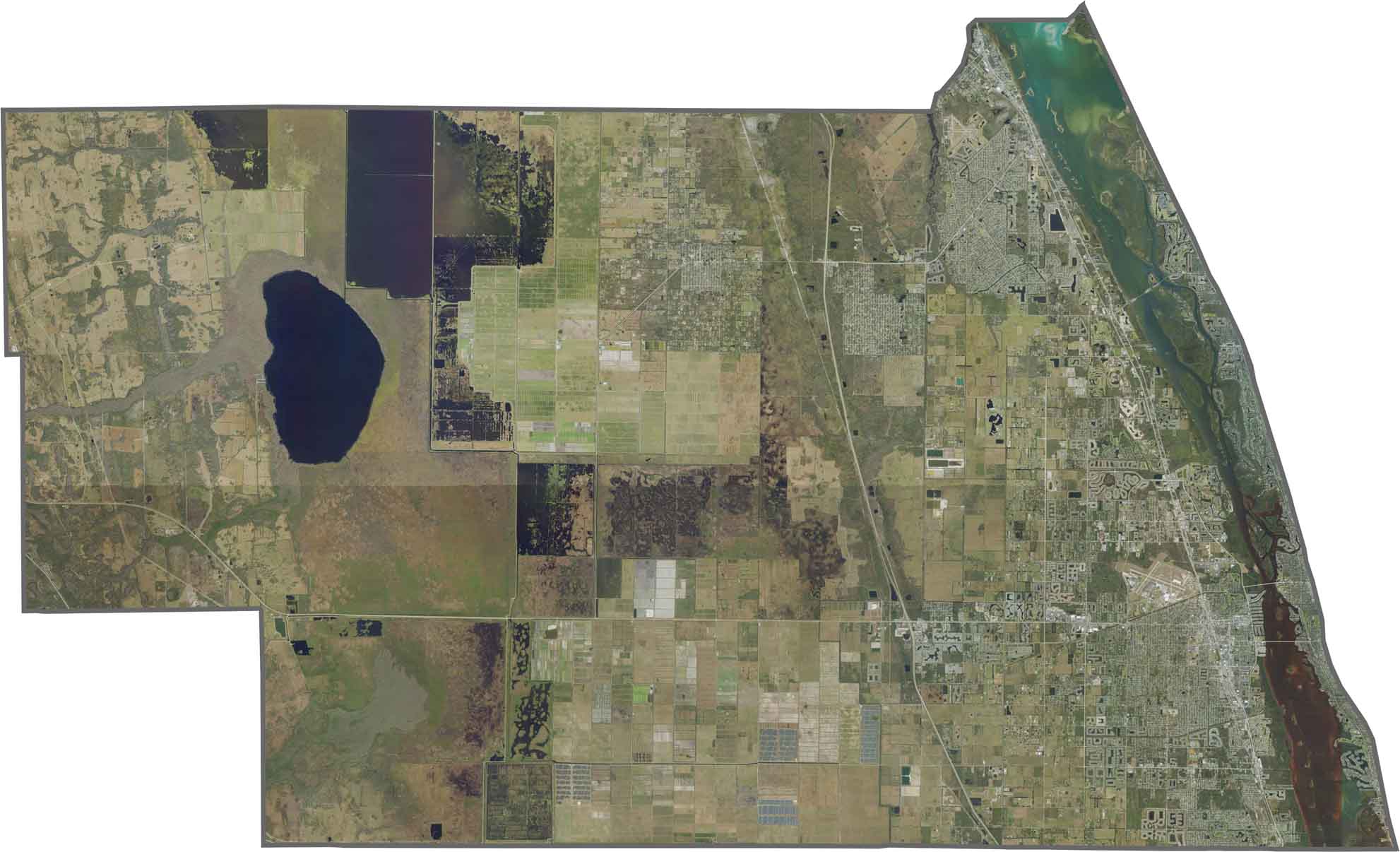
Our Indian River County satellite map shows the Indian River Lagoon forming a blue border along the county’s entire eastern edge. Vero Beach sits directly along the blue waters of the lagoon, while Blue Cypress Lake creates a distinctive circular shape in the western part of the county.
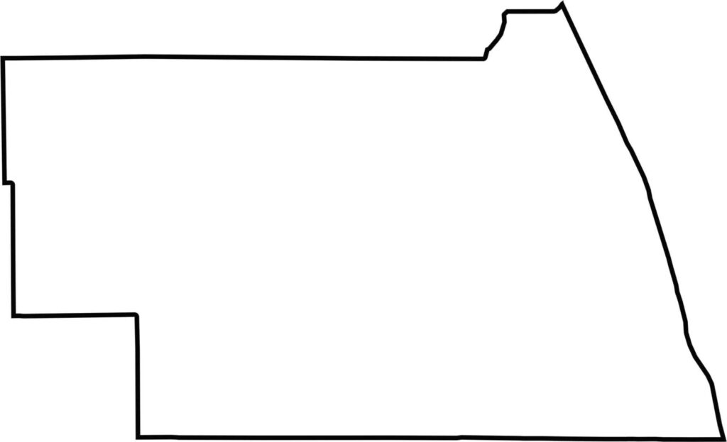
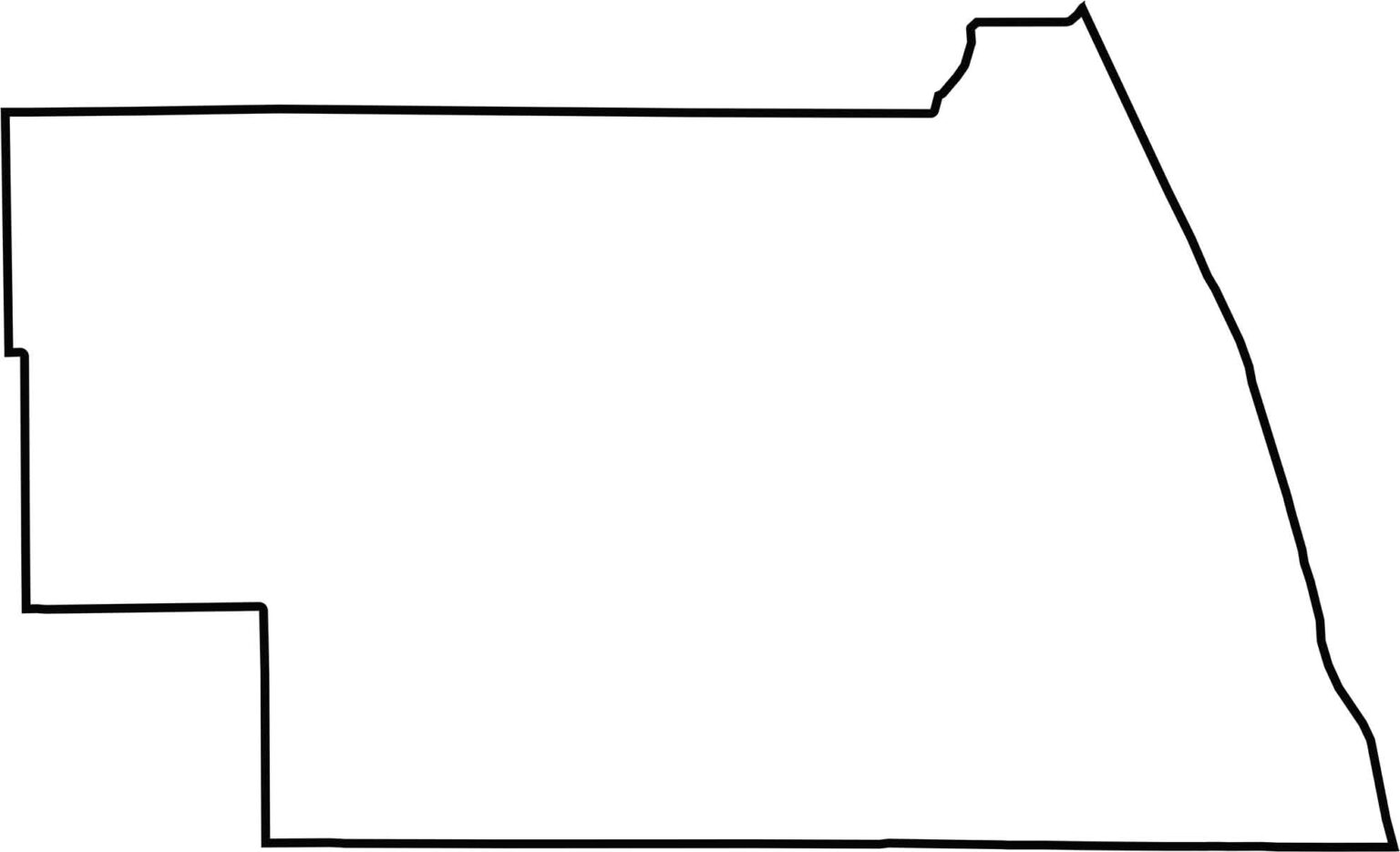
Our Indian River County outline map highlights the county’s nearly perfect rectangular shape. The Atlantic Ocean forms the eastern boundary, while the western border follows an almost straight north-south line.







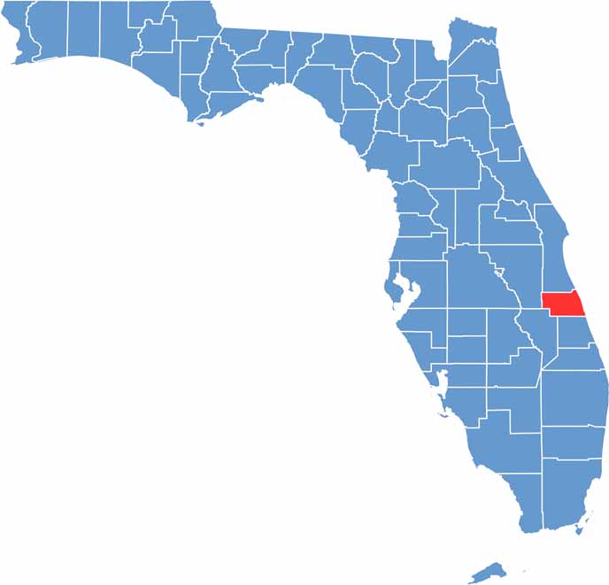
Looking for a county map of Florida? Our Florida County Map breaks down all 67 counties across the Sunshine State. Explore Florida through detailed topographic, satellite, and outline maps to better understand its geography, landscapes, and county boundaries.