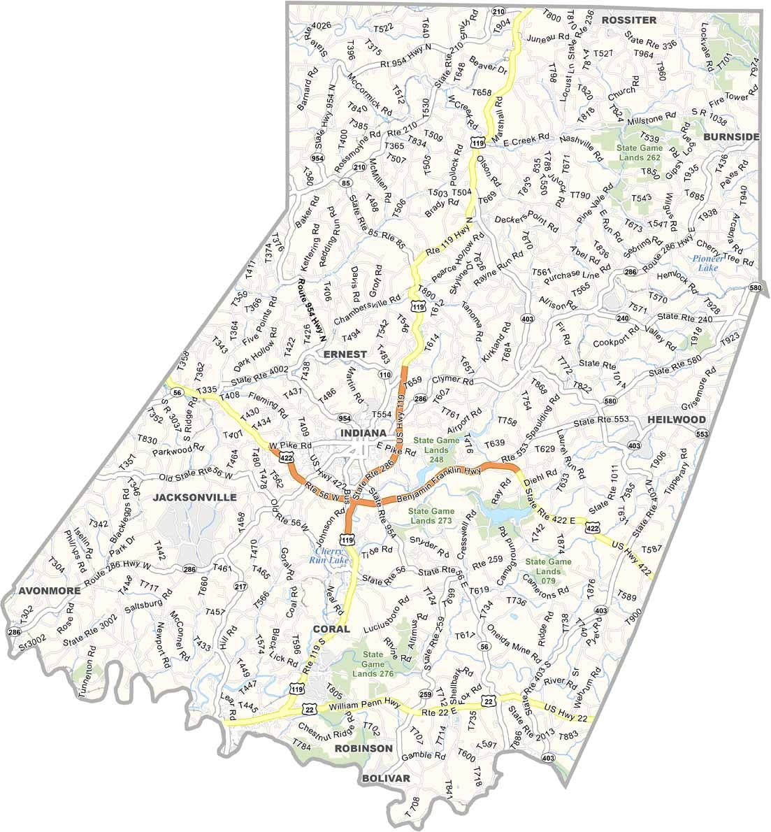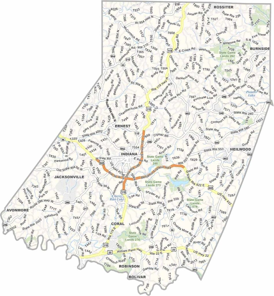
Indiana County Map, Pennsylvania

Indiana County, Pennsylvania

Indiana County sits in western Pennsylvania, about an hour east of Pittsburgh. It is known as the "Christmas Tree Capital of the World," and it earns the title by producing over a million trees every year.

No mention of the county is complete without Jimmy Stewart. The famous actor was born here, and an airport and a museum are dedicated to his memory.

Indiana University of Pennsylvania (IUP) is a public research university in the area. Visitors enjoy biking and hiking on the Ghost Town Trail, and Yellow Creek State Park is a great choice for a day on the water.
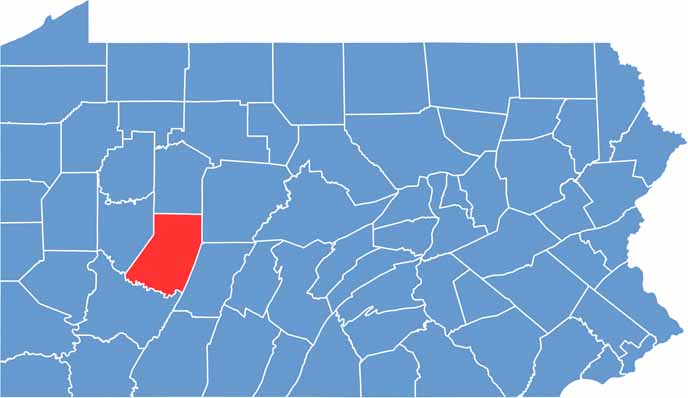

Location map of Indiana County, Pennsylvania
CategoryDetails
County NameIndiana County
County SeatIndiana
EtymologyNamed after the Indiana Territory
Cities, Towns, and CommunitiesIndiana, Blairsville, Clymer, Homer City, Saltsburg, Marion Center
Interstates and HighwaysU.S. Highway 119, U.S. Highway 422, State Highway 56, State Highway 286
FIPS Code42-063
Total Area (Land and Water)834 square miles (827 sq mi land, 7 sq mi water)
Adjacent Counties (and Direction)Jefferson County (North), Clearfield County (Northeast), Cambria County (Southeast), Westmoreland County (South), Armstrong County (West)
Time ZoneEastern Time Zone (EST)
StatePennsylvania
Coordinates40°38’N, 79°09’W
Major LandmarksIndiana University of Pennsylvania, Jimmy Stewart Museum, Yellow Creek State Park
PopulationApproximately 83,000
Scroll to Top