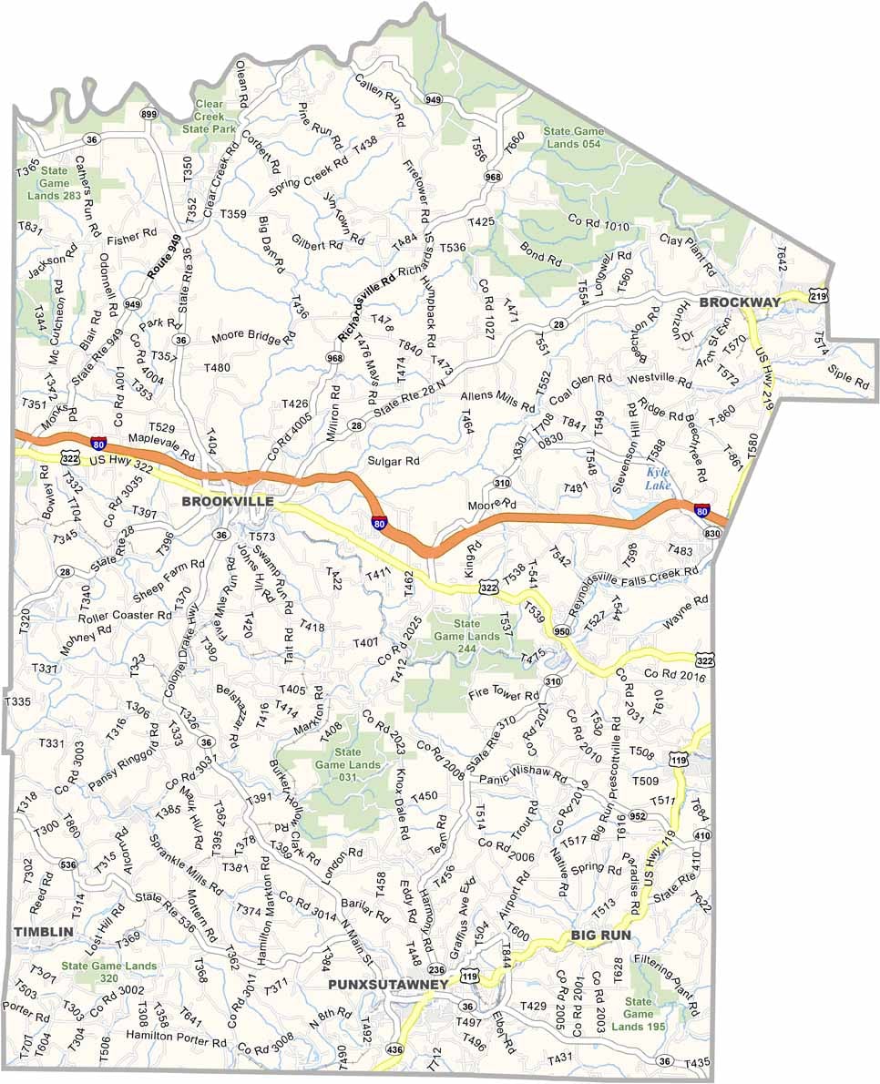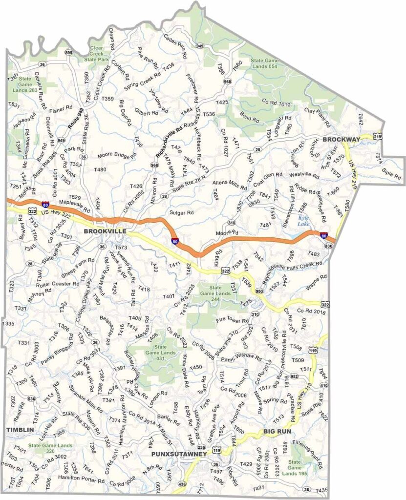
Jefferson County Map, Pennsylvania

Jefferson County, Pennsylvania

Jefferson County lies deep in the Pennsylvania Wilds, where elk roam free and the night sky is full of stars. Punxsutawney calls the county home, and every February 2nd the world turns its eyes here for Groundhog Day.

There is more to the county than Phil, though. Clear Creek State Park showcases its natural beauty, and Cook Forest State Park is a camper's paradise.

Brookville, the county seat, has an attractive historic district, and the area is known for excellent hunting and fishing. History fans should also visit Scripture Rocks Heritage Park, a truly unique stop.
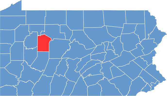

Location map of Jefferson County, Pennsylvania
CategoryDetails
County NameJefferson County
County SeatBrookville
EtymologyNamed after Thomas Jefferson, the third President of the United States
Cities, Towns, and CommunitiesBrookville, Punxsutawney, Brockway, Reynoldsville, Sykesville
Interstates and HighwaysInterstate 80, U.S. Highway 119, U.S. Highway 322, State Highway 28
FIPS Code42-065
Total Area (Land and Water)657 square miles (652 sq mi land, 5 sq mi water)
Adjacent Counties (and Direction)Forest County (Northwest), Elk County (Northeast), Clearfield County (East), Indiana County (South), Armstrong County (Southwest), Clarion County (West)
Time ZoneEastern Time Zone (EST)
StatePennsylvania
Coordinates41°07’N, 79°00’W
Major LandmarksGobbler’s Knob (home of Punxsutawney Phil), Clear Creek State Park, Scripture Rocks Heritage Park
PopulationApproximately 43,000
Scroll to Top