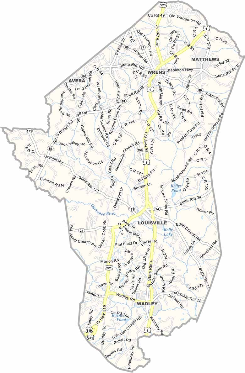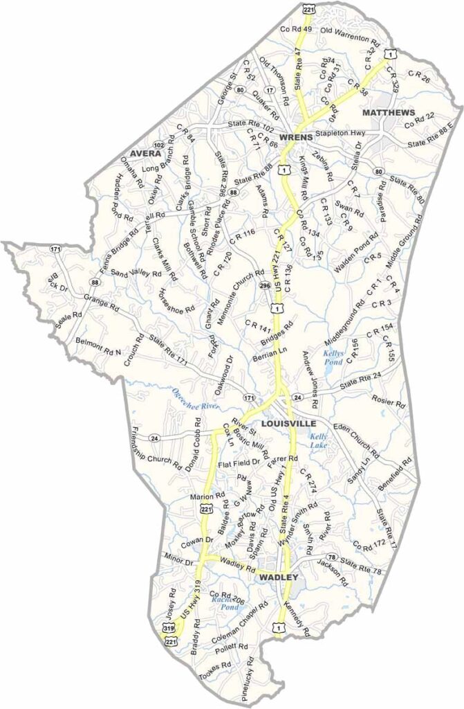
Jefferson County, Georgia

About a two-and-a-half-hour drive from Atlanta, Jefferson County lies in east-central Georgia, where rolling farmland meets stretches of pine forest. Its county seat, Louisville, is rich in history and once served as Georgia’s third capital for a brief period.

Louisville’s historic Old Market, a 19th-century landmark, continues to host a local farmers market, reflecting the county’s strong agricultural heritage. Pecan orchards and cotton fields are a familiar sight across the landscape, showcasing the area's farming traditions.

The Ogeechee River winds through the county, providing excellent opportunities for fishing, kayaking, and enjoying the outdoors. The town of Wrens is well known for its lively Fourth of July celebration, one of the area's most anticipated annual events. Throughout Jefferson County, a strong sense of community, history, and tradition continues to shape everyday life.
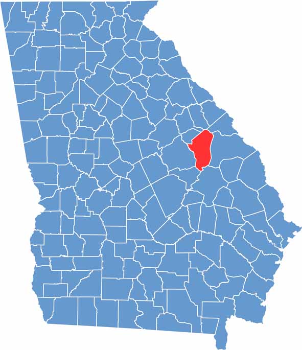

Jefferson County location map in Georgia.
Category Details
County Name Jefferson County
County Seat Louisville
Cities, Towns, and Communities Louisville (county seat), Wrens, Avera, and other small communities
Interstates and Highways U.S. Route 1, U.S. Route 80, State Route 17
Etymology Named after Thomas Jefferson, the third President of the United States
FIPS Code 13-163
Total Area (Land and Water) 729 square miles (land: 724 sq mi, water: 5 sq mi)
Time Zone Eastern Time Zone (ET)
State Georgia
Coordinates 33.0878° N, 82.3770° W
Major Landmarks Jefferson County Courthouse, Louisville Historic District, and the J. H. Blackwell House
Adjacent Counties (and Direction) McDuffie County (North), Richmond County (Northeast), Burke County (East), Emanuel County (South), Johnson County (Southwest), Glascock County (Northwest), Washington County (West), Warren County (Northwest)
Population Approximately 15,000
Scroll to Top