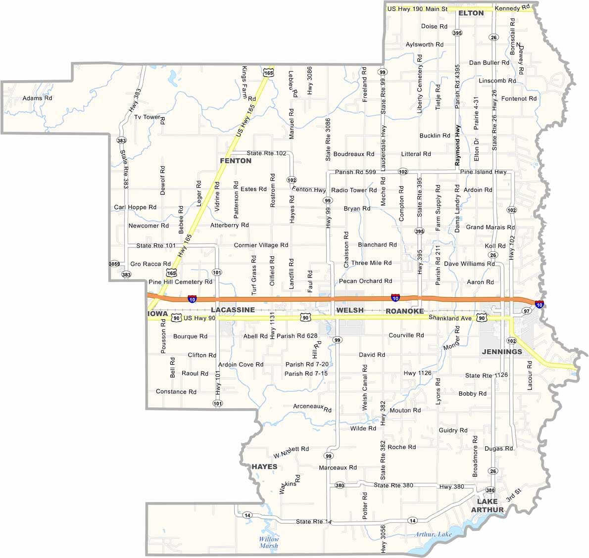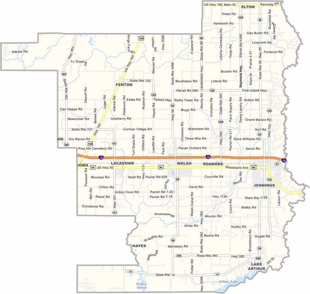
Jefferson Davis Parish, Louisiana

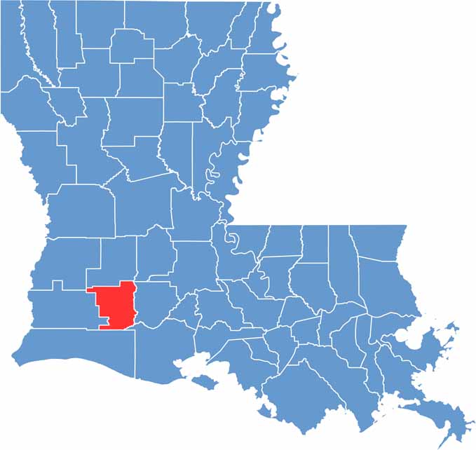
Jefferson Davis Parish sits in southwest Louisiana, roughly halfway between Lake Charles and Lafayette. The parish is largely flat and agricultural, with rice and crawfish among its major crops.

Jennings, the largest town and parish seat, still has a small-town feel. Residents take pride in the area’s Cajun culture, known for its flavorful food, lively music, and laid-back way of life.

Summers in Jefferson Davis Parish are typically hot and humid, reflecting the climate of southwest Louisiana. The parish is named for Jefferson Davis, the president of the Confederate States of America, a historical association that remains controversial today.

CategoryDetails
Parish NameJefferson Davis Parish
Parish SeatJennings
EtymologyNamed after Jefferson Davis, the President of the Confederate States of America during the American Civil War
Cities, Towns, and CommunitiesJennings, Welsh, Lake Arthur, Elton, Fenton, Hathaway, Roanoke, Lacassine
Interstates and HighwaysI-10, US-90, US-165, LA-26, LA-102
FIPS Code22-053
Total Area (Land and Water)659 square miles (651 sq mi land, 8 sq mi water)
Adjacent Parishes (and Direction)Allen Parish (North), Evangeline Parish (Northeast), Acadia Parish (East), Vermilion Parish (Southeast), Cameron Parish (South), Calcasieu Parish (West), Beauregard Parish (Northwest)
Time ZoneCentral Time Zone (CT)
StateLouisiana
Coordinates30.2431° N, 92.6736° W
Major LandmarksZigler Museum, Tupper Museum, Lacassine National Wildlife Refuge, Gator Chateau, Welsh Museum
PopulationApproximately 31,000
Scroll to Top