
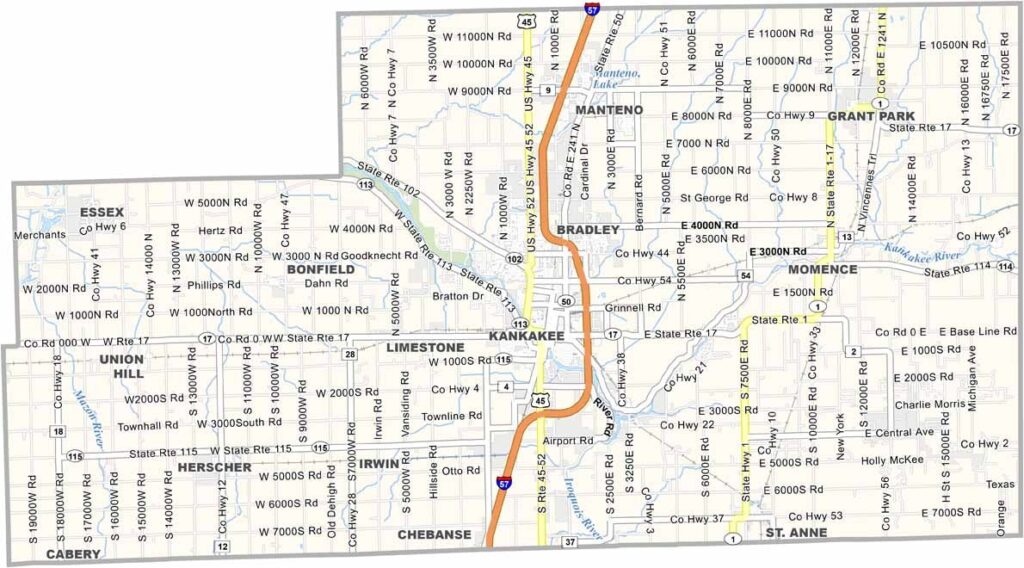
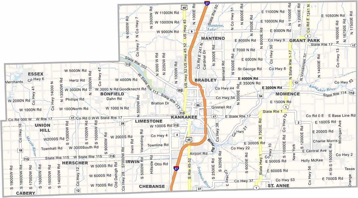
Kankakee County sits about an hour south of Chicago, but it feels a world away from the big city. The Kankakee River cuts through the county, giving the area its name and providing some decent fishing spots. Kankakee is the biggest town.
You’ve got a mix of farmland and small towns, with some industry thrown in. The state park along the river is popular for canoeing and camping. Corn and soybeans dominate the landscape, broken up by the occasional wind turbine.
Winters are cold, but summer brings dragon boat races on the river. There’s more diversity here than you might expect. The county has a growing Hispanic population that’s changing the local culture.
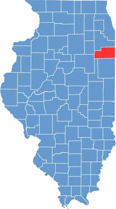
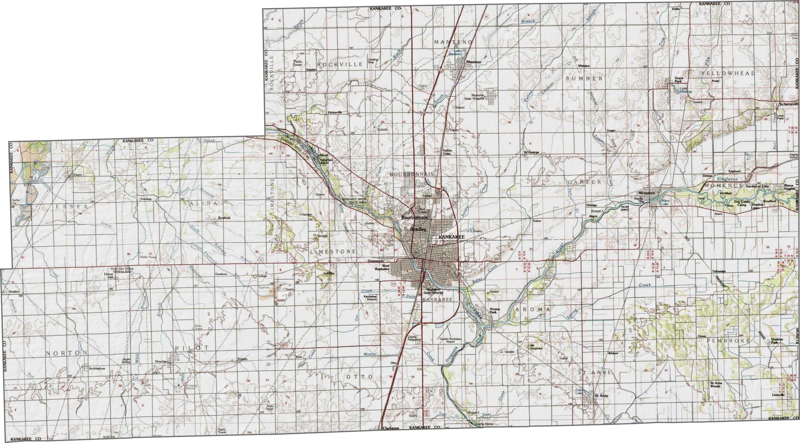
Kankakee County is mostly flat, with the Kankakee River flowing through it. Marshy areas and farmland are typical features of the landscape. Zoom in to see the details on our map.
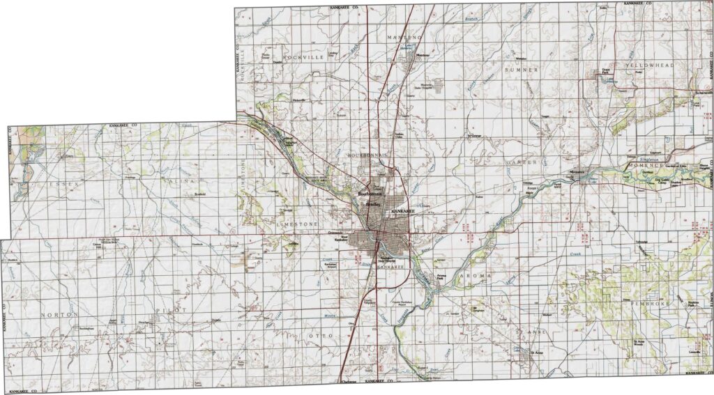
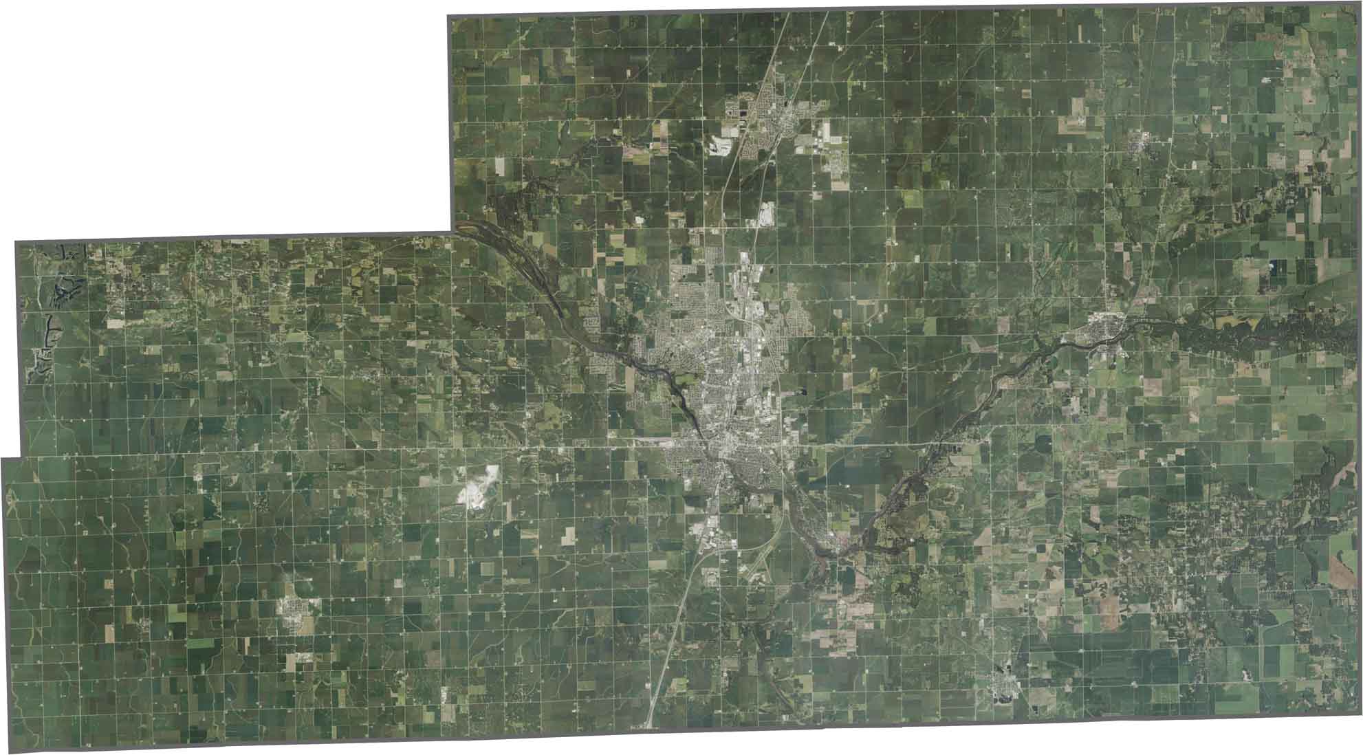
Farmland covers much of the county, so you’ll mostly see agricultural fields. The Kankakee River stands out as a winding dark line, while urban areas like Kankakee appear as gray clusters.
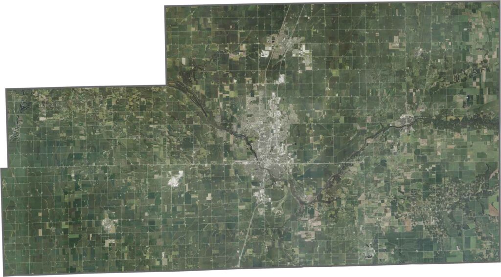
Kankakee County has a somewhat rectangular shape without many curved edges. It borders the state of Indiana to the east.








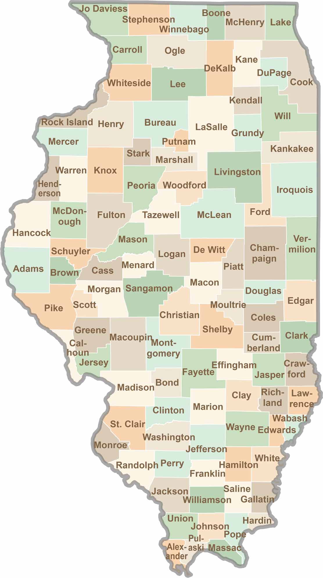
Ready to explore Illinois? Discover counties full of surprises, from the energy of Chicago and Cook County to the quiet beauty of Shawnee National Forest. Explore rich history, farmland, natural scenery, and small-town charm with our Illinois county map. Find your next adventure and discover all that Illinois has to offer.