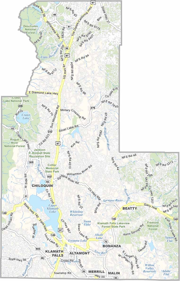
Klamath County Map, Oregon

Klamath County, Oregon

Klamath County sprawls across south-central Oregon, a land of lakes, forests, and wide-open spaces. Crater Lake, Oregon's only national park, is located here, and it is deep, blue, and breathtaking.

The county's history was once tied to logging and agriculture, though outdoor recreation is now big business. Klamath Falls, despite its name, has no actual falls, though there are some nearby.

Birdwatchers come for the massive waterfowl migrations, and geothermal activity bubbles beneath the surface, heating homes and melting snow. If you like your adventure with a side of small-town charm, Klamath County is your kind of place.
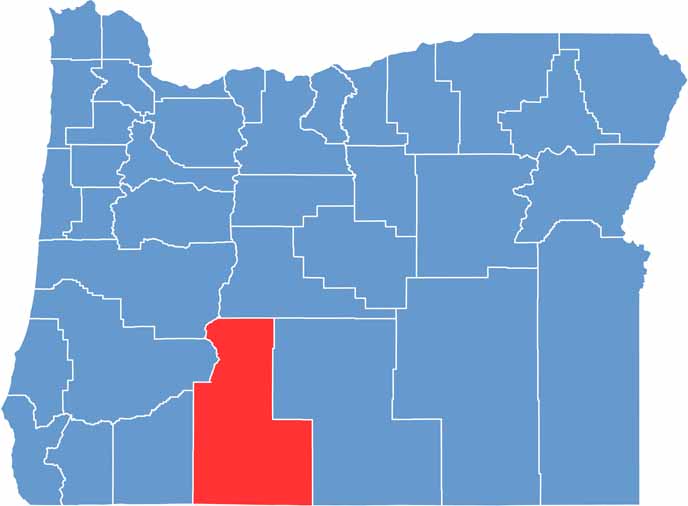

Location map of Klamath County, Oregon
CategoryDetails
County NameKlamath County
County SeatKlamath Falls
EtymologyNamed after the Klamath Native American tribe
Cities, Towns, and CommunitiesKlamath Falls, Chiloquin, Malin, Merrill, Bonanza, Beatty
Interstates and HighwaysU.S. Highway 97, U.S. Highway 395, State Highway 140
FIPS Code41-035
Total Area (Land and Water)6,136 square miles (5,941 sq mi land, 195 sq mi water)
Adjacent Counties (and Direction)Douglas County (Northwest), Lane County (Northwest), Deschutes County (North), Lake County (East), Siskiyou County, California (South), Modoc County, California (South), Jackson County (West)
Time ZonePacific Time Zone (PST)
StateOregon
Coordinates42°42’N, 121°37’W
Major LandmarksCrater Lake National Park (partial), Upper Klamath Lake, Lava Beds National Monument
PopulationApproximately 69,000
Scroll to Top