
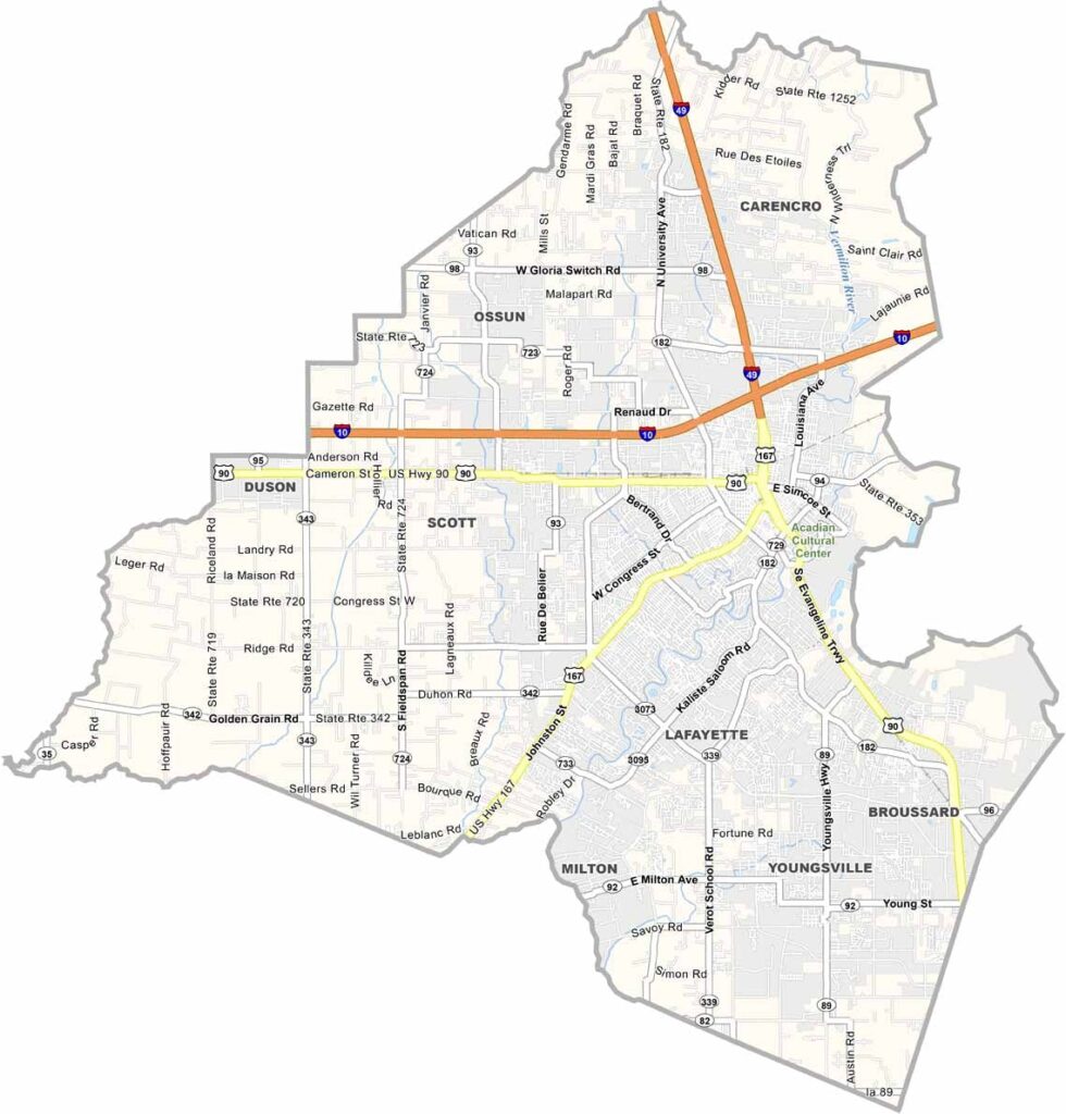
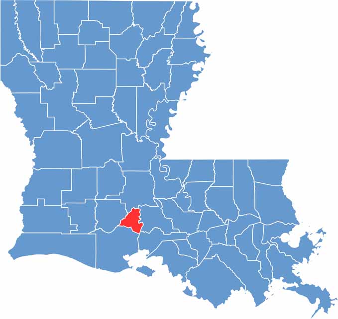
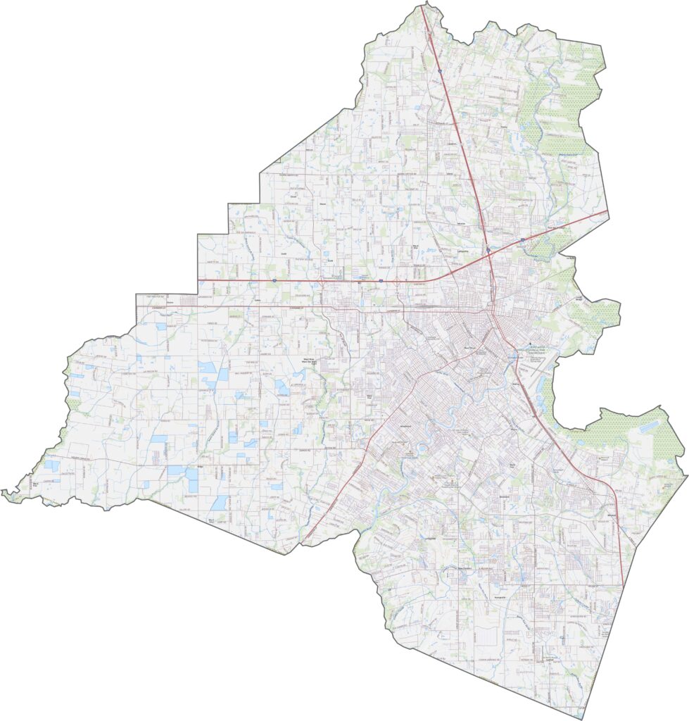
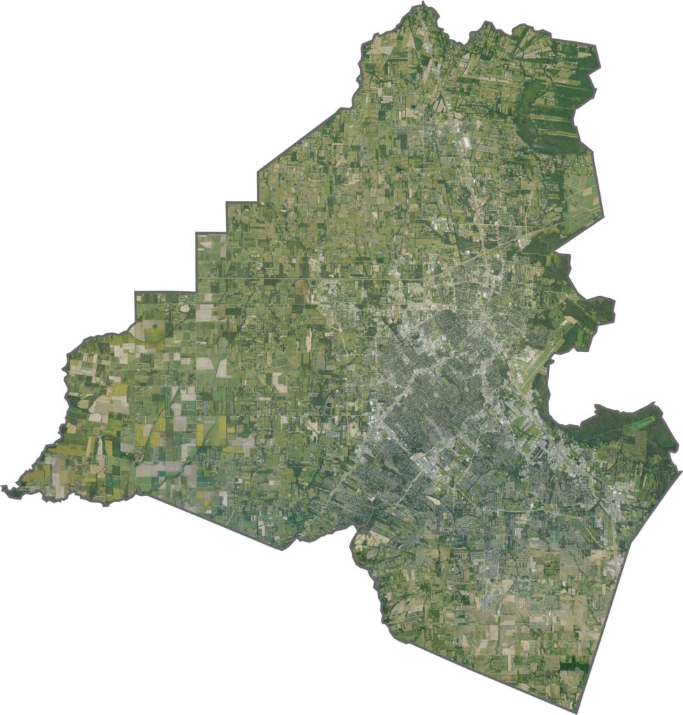
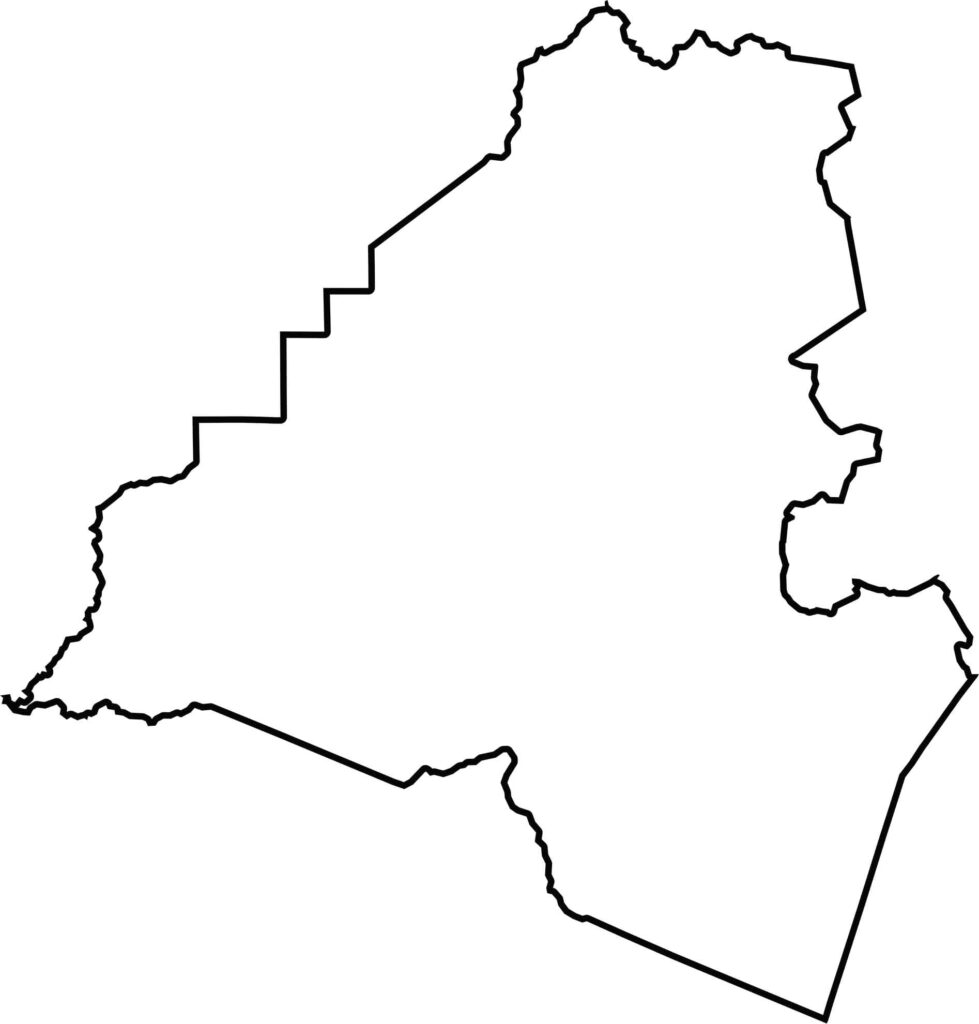
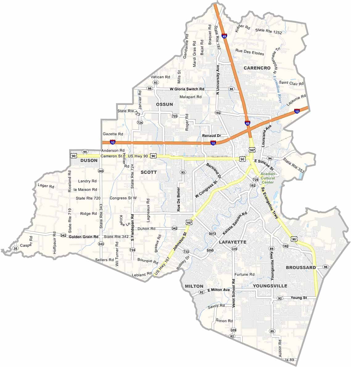
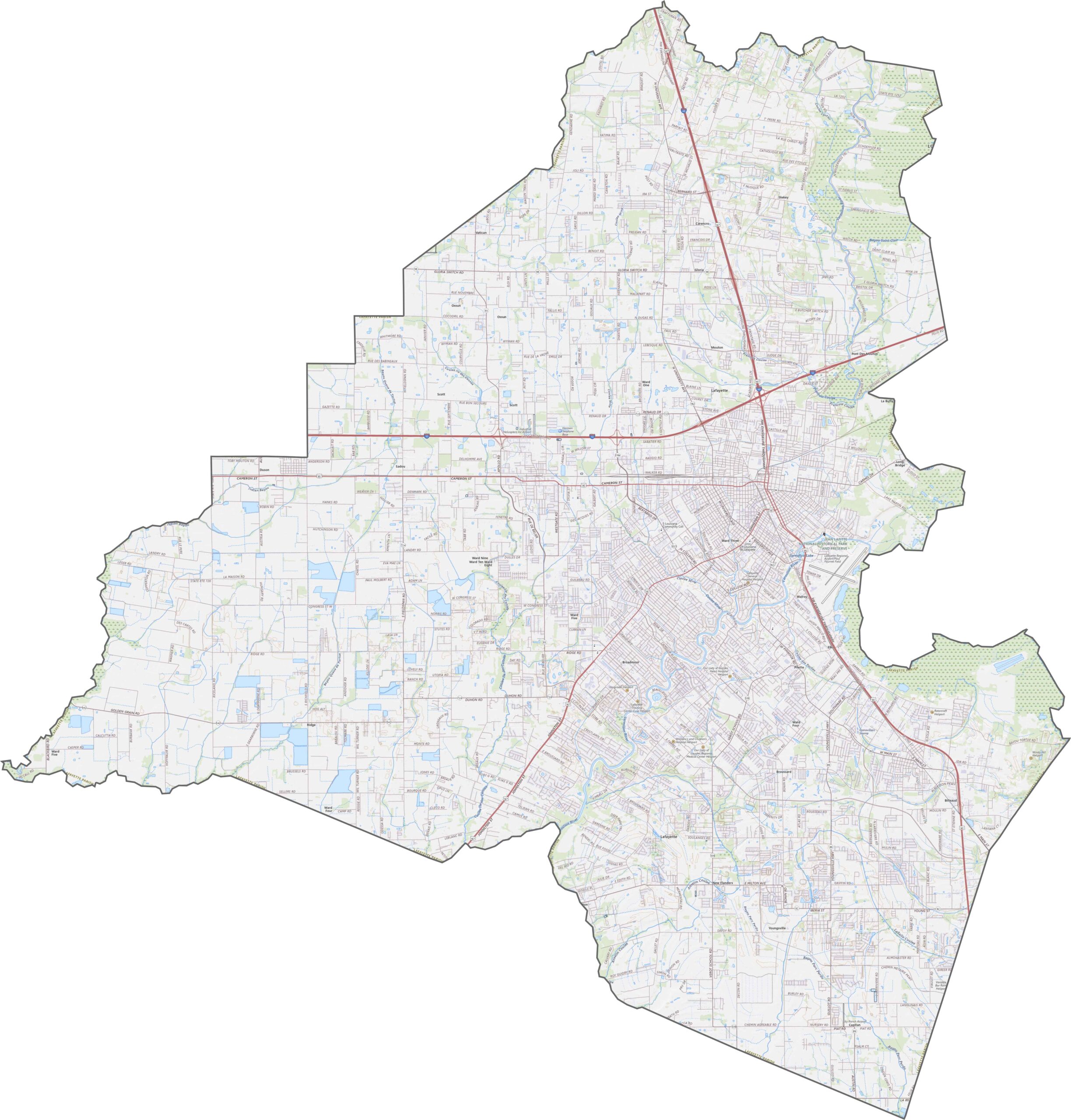
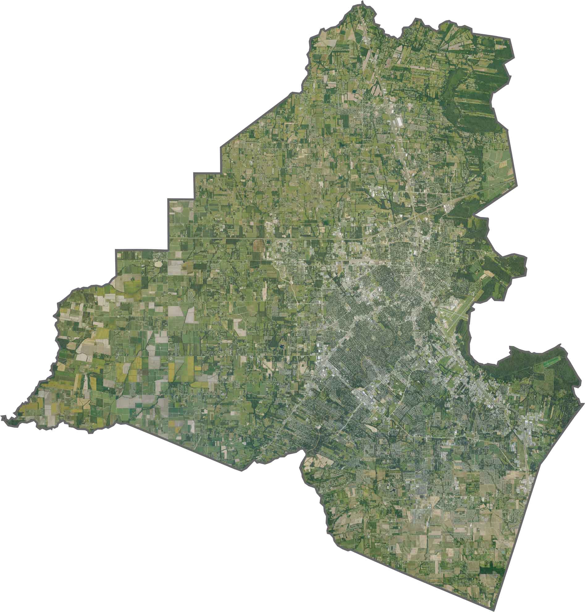
Lafayette Parish lies in the heart of Acadiana in south-central Louisiana, where Cajun culture is woven into everyday life. From the flavorful food to the lively music, the parish is known for a rich cultural heritage and a strong sense of local identity.
The parish is home to Lafayette, a vibrant city widely recognized as a center of Cajun culture. Visitors can find plenty of places serving local favorites such as gumbo and jambalaya, along with other classic Louisiana dishes.
Residents take pride in their French roots, which remain visible in the area’s food, music, traditions, and way of life. The Vermilion River winds through the parish, adding scenic waterways and a touch of natural beauty to the surrounding landscape.
Orleans Parish is Louisiana’s most urban parish, built around the distinctive I-10 crescent. The Pontchartrain Expressway (US 90 Business) follows the Mississippi River, while I-610 provides an important bypass around the city. Surface streets reflect the area’s historic French street grid, and our zoom tool makes it easy to explore the one-way streets of the historic Vieux Carré.
The dramatic curve of the Mississippi River helps define the landscape, with the dense architecture of the French Quarter standing out against the surrounding urban grid. Lake Pontchartrain borders the parish to the north, while the Industrial Canal cuts through the Lower Ninth Ward. Green spaces such as City Park provide a striking contrast to the densely developed streets and neighborhoods.
The parish forms a distinctive bowl between the Mississippi River and Lake Pontchartrain, spanning roughly 7 miles across. The river shapes its southern curve, while the lake forms much of the northern boundary. Orleans Parish is surrounded by waterways and neighboring parishes and does not share a border with another state.






In Louisiana, you’ll taste the spirit of the state in its hot sauce and hear it in the midnight blues. Laissez les bon temps rouler! Explore our Louisiana parish maps to discover the state’s unique communities, winding bayous, and rich landscapes. Come for the beignets. Stay for the bayou.