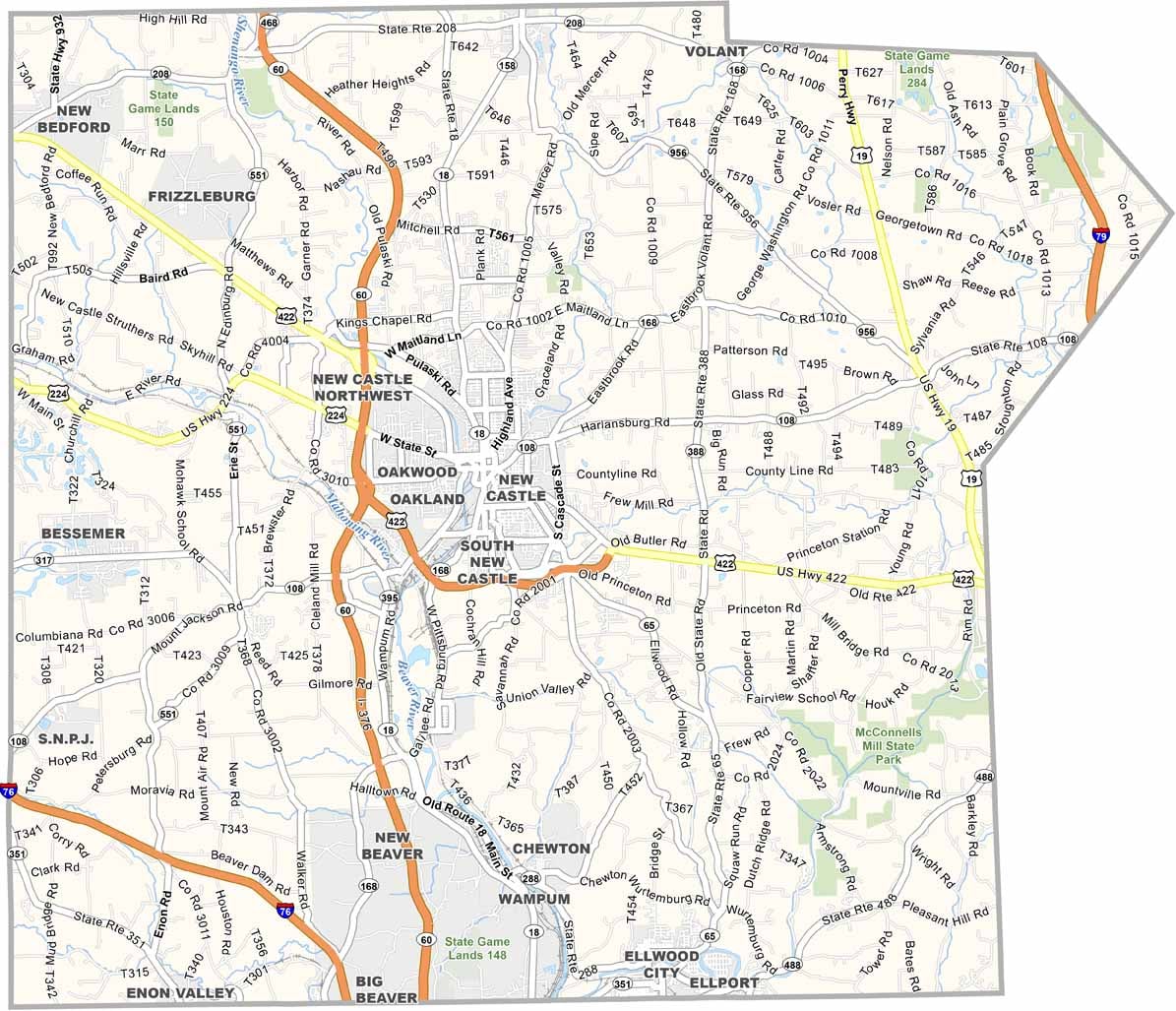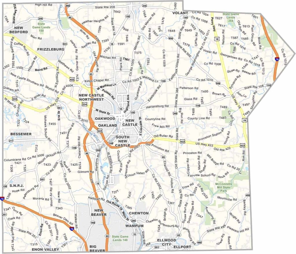
Lawrence County Map, Pennsylvania

Lawrence County, Pennsylvania

Lawrence County lies in western Pennsylvania, right along the Ohio border. New Castle, its largest city, is nicknamed the "Fireworks Capital of America," and it truly knows how to celebrate.

The county isn't all noise and explosions, though. The countryside is peaceful, with plenty of parks and trails, and an Amish community calls the area home. McConnells Mill State Park is a local favorite, with gorges, waterfalls, and great hiking.

The county has solid manufacturing roots, and today small businesses are springing up all over. Lawrence County offers a strong mix of industrial heritage, natural beauty, and small-town appeal.
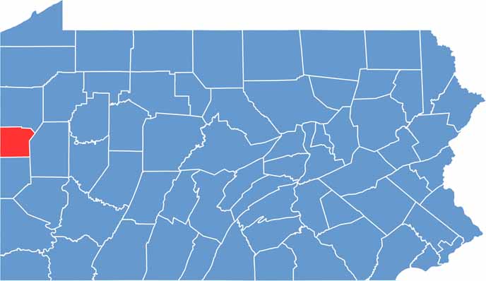

Location map of Lawrence County, Pennsylvania
CategoryDetails
County NameLawrence County
County SeatNew Castle
EtymologyNamed after Captain James Lawrence, a naval officer in the War of 1812
Cities, Towns, and CommunitiesNew Castle, Ellwood City, Bessemer, New Wilmington, Wampum, Volant
Interstates and HighwaysInterstate 79, Interstate 376, U.S. Highway 422, U.S. Highway 224
FIPS Code42-073
Total Area (Land and Water)363 square miles (358 sq mi land, 5 sq mi water)
Adjacent Counties (and Direction)Mercer County (North), Butler County (East), Beaver County (South), Columbiana County, Ohio (Southwest), Mahoning County, Ohio (West)
Time ZoneEastern Time Zone (EST)
StatePennsylvania
Coordinates41°00’N, 80°20’W
Major LandmarksMcConnells Mill State Park, Cascade Park, Scottish Rite Cathedral, New Castle Historic District
PopulationApproximately 84,000
Scroll to Top