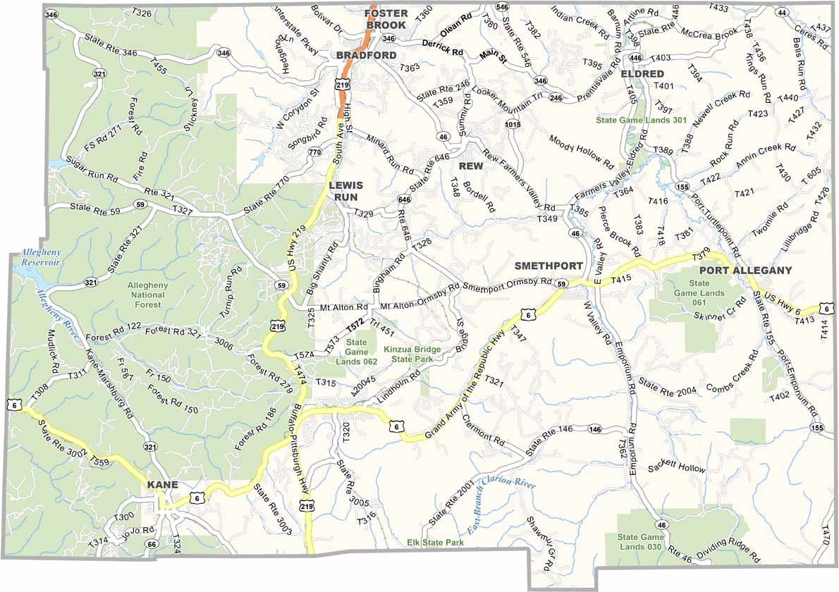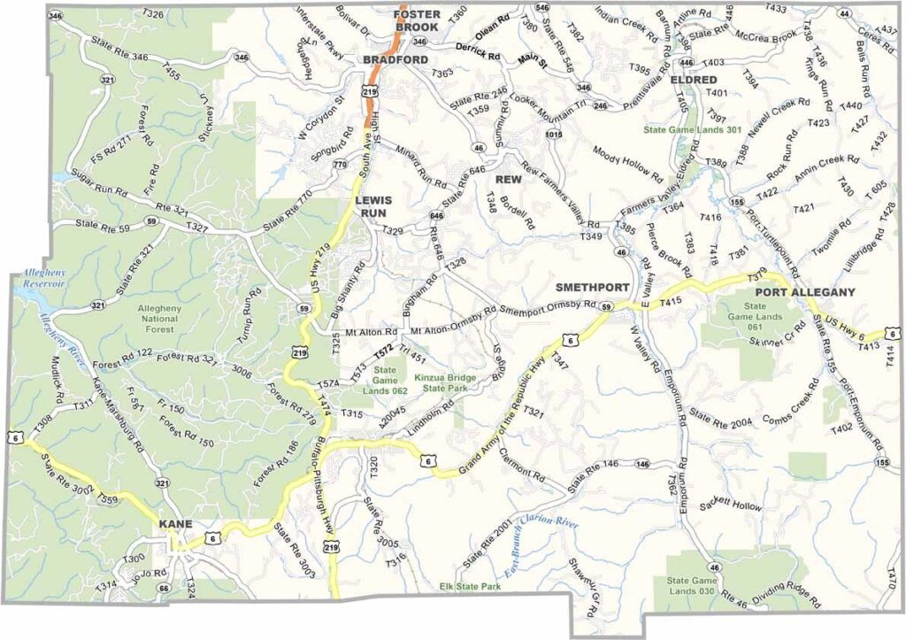
McKean County Map, Pennsylvania

McKean County, Pennsylvania

McKean County sits in the northern tier of Pennsylvania, along the New York border, and its landscape is both rugged and beautiful. The Allegheny National Forest covers a large part of the western section.

Oil fueled a boom here in the late 1800s, while today the economy leans on tourism and manufacturing. Zippo lighters are made right in Bradford. The county is named after Thomas McKean, a signer of the Declaration of Independence.

Kinzua Bridge State Park features an old railroad bridge that has been turned into a skywalk, which is a real showstopper. The county is also full of small towns with plenty of character.
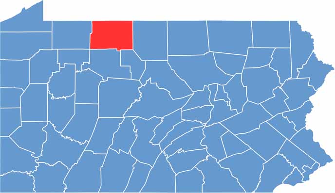

Location map of McKean County, Pennsylvania
CategoryDetails
County NameMcKean County
County SeatSmethport
EtymologyNamed after Thomas McKean, a former Governor of Pennsylvania
Cities, Towns, and CommunitiesBradford, Kane, Smethport, Port Allegany, Eldred, Lewis Run
Interstates and HighwaysU.S. Highway 6, U.S. Highway 219, State Highway 46
FIPS Code42-083
Total Area (Land and Water)984 square miles (979 sq mi land, 5 sq mi water)
Adjacent Counties (and Direction)Cattaraugus County, New York (North), Allegany County, New York (Northeast), Potter County (East), Cameron County (Southeast), Elk County (South), Forest County (Southwest), Warren County (West)
Time ZoneEastern Time Zone (EST)
StatePennsylvania
Coordinates41°49’N, 78°30’W
Major LandmarksAllegheny National Forest, Kinzua Bridge State Park, Zippo/Case Museum
PopulationApproximately 40,000
Scroll to Top