
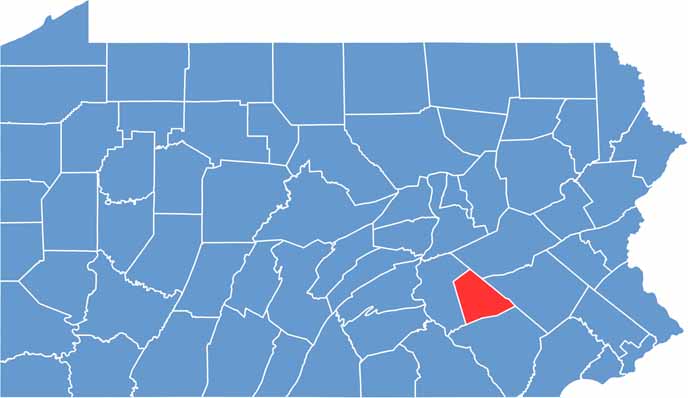
Lebanon County lies in the heart of the Keystone State. The area has strong Pennsylvania Dutch roots, which you can see in the architecture and taste in the cooking.
Lebanon bologna? Yeah, it comes from here. Food is a big deal in these parts. It's farm country, but there's more to it than just fields and silos.
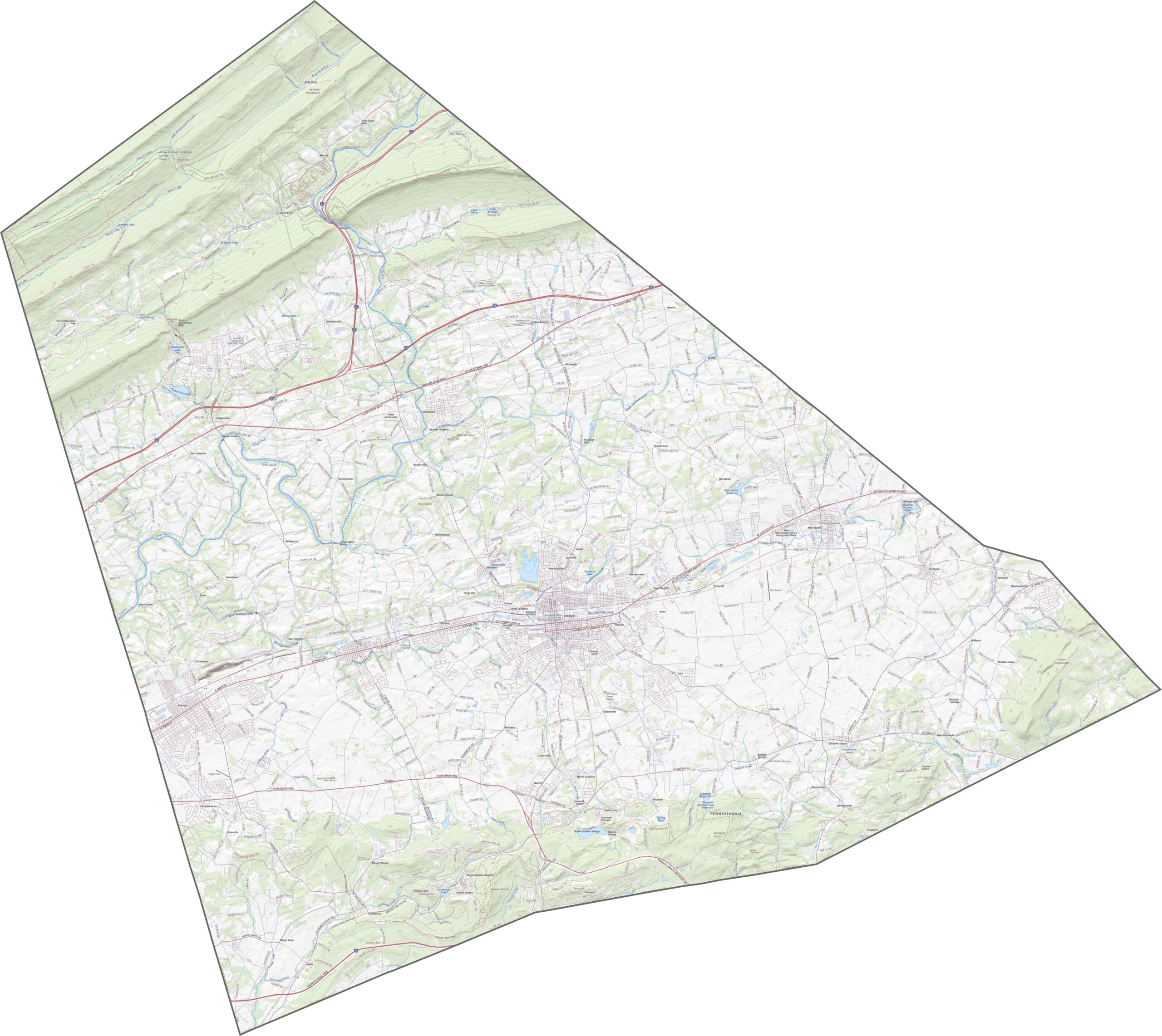
Mount Gretna is an old Chautauqua community turned artsy enclave. Visitors love the state game lands and Swatara State Park. The Appalachian Trail even cuts through the northern part of the county.
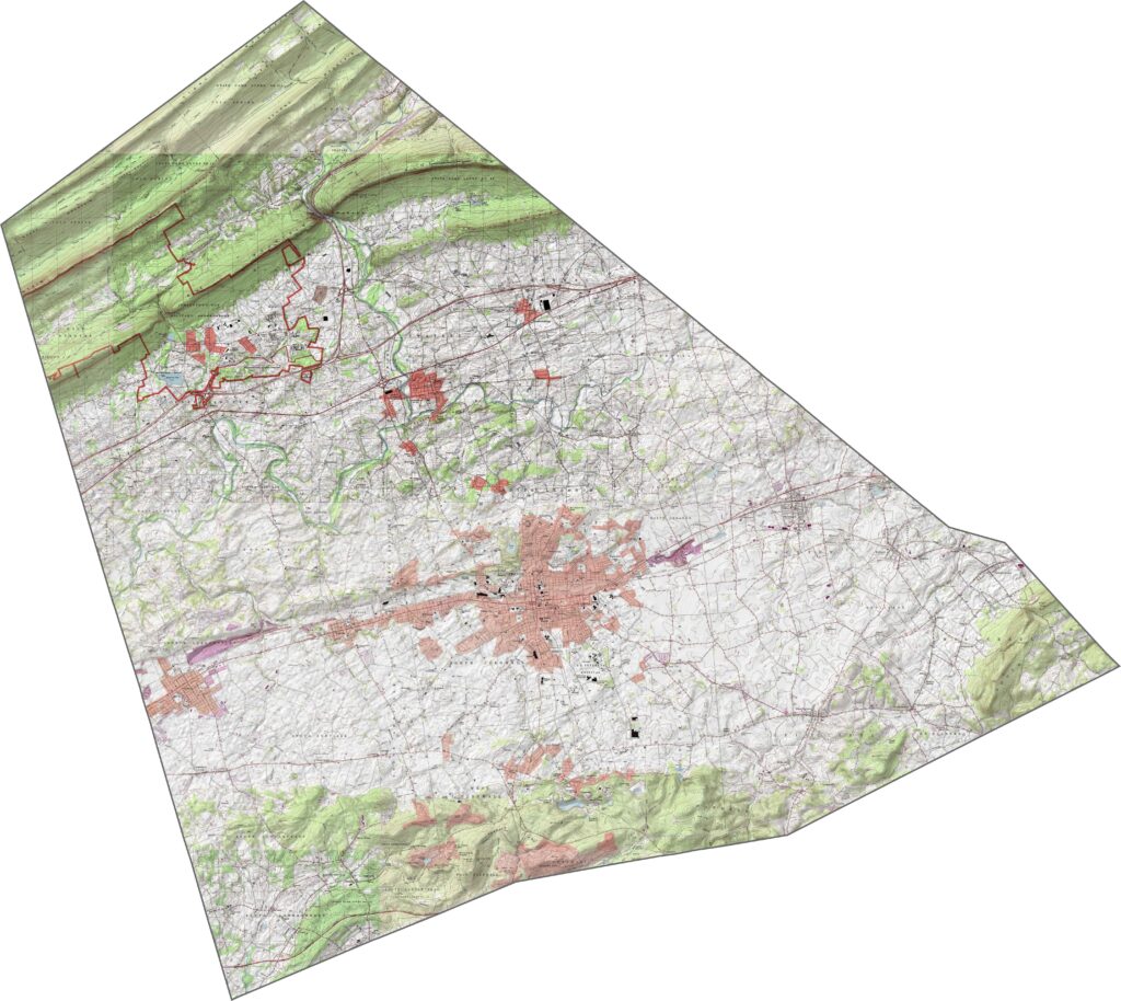
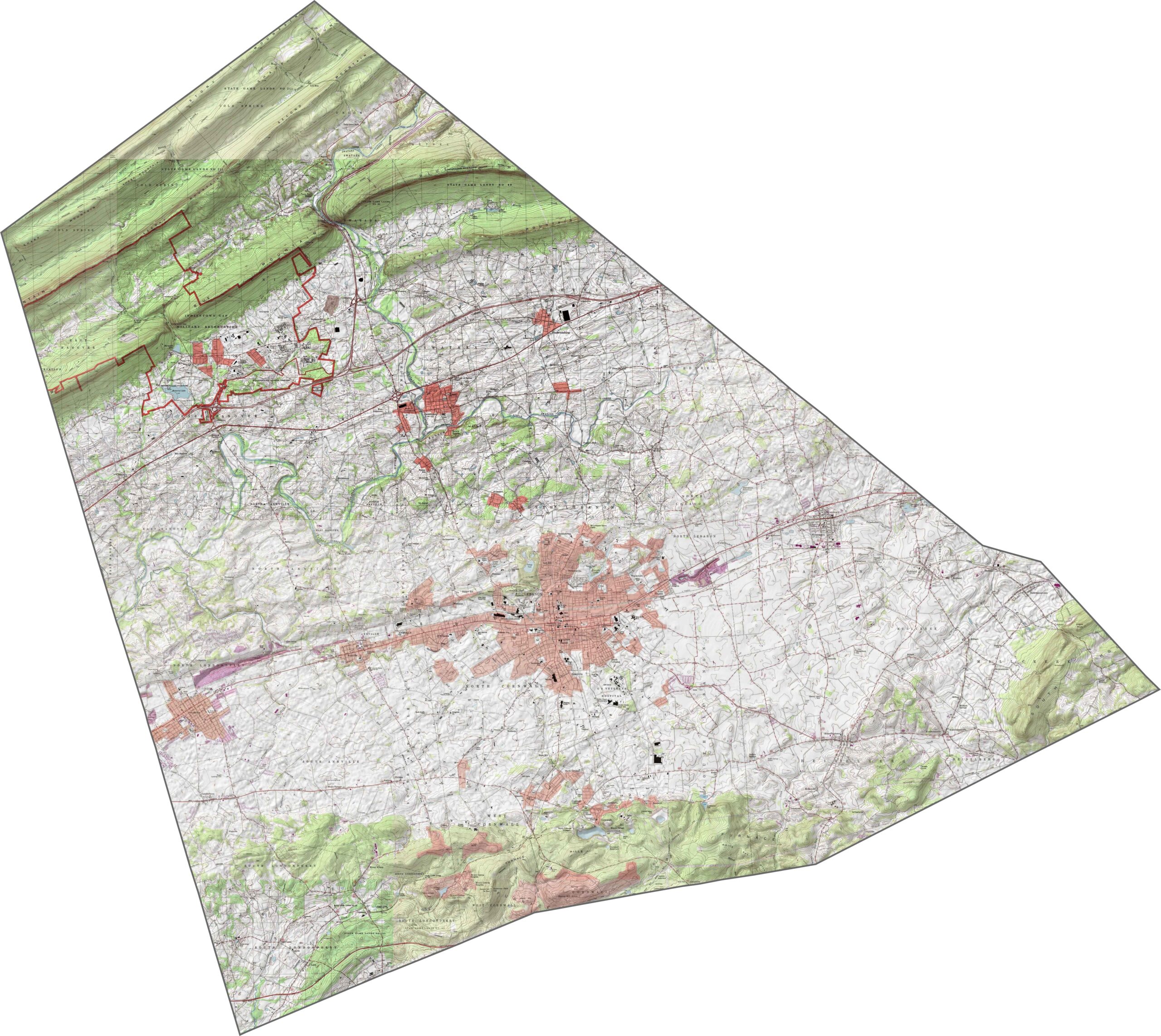
Lebanon County lies mostly in a valley, but ridges do rise on its northern and southern edges. The land in between is gently rolling. Farmland fills the flatter stretches, while the ridges are steeper and mostly wooded. You can explore the full terrain using our zoom tool below.
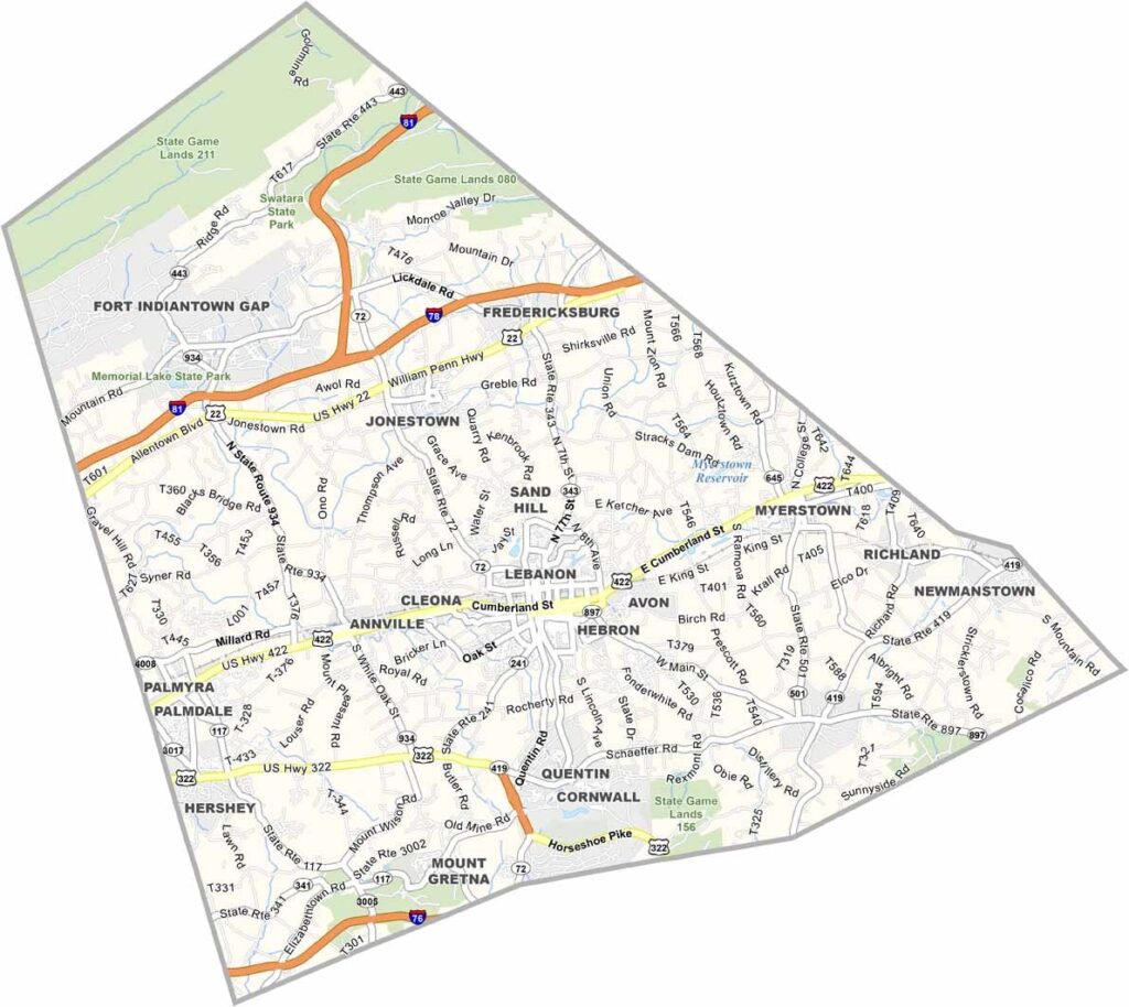
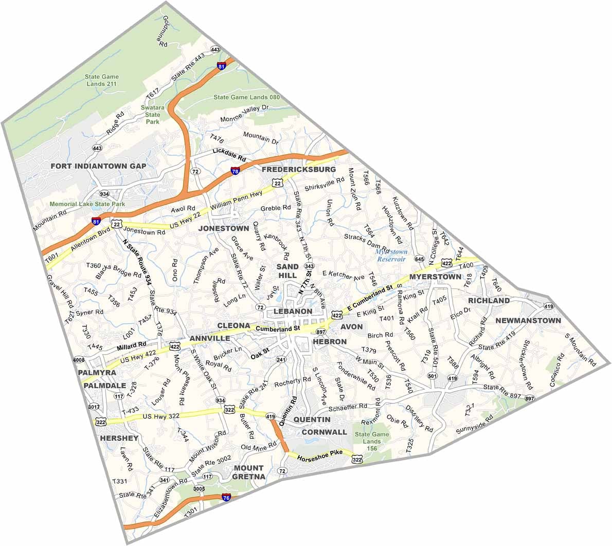
Lebanon County has a practical highway layout. Major roads cut across flat farmland and through the city of Lebanon. It's a county where rural and suburban roads mix freely with Interstate 78, Interstate 81, and Interstate 76.
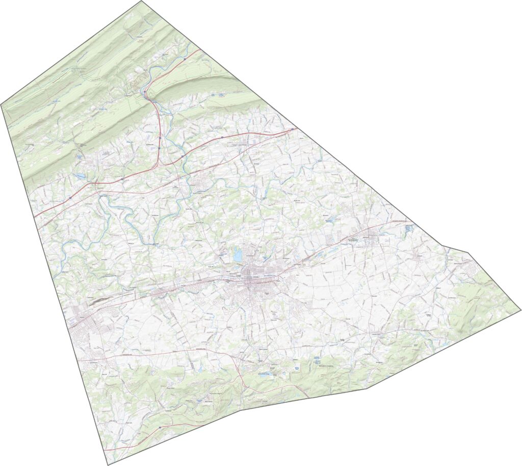
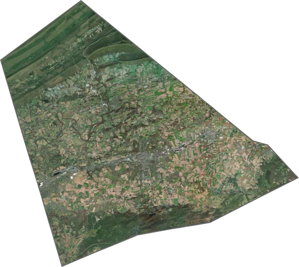
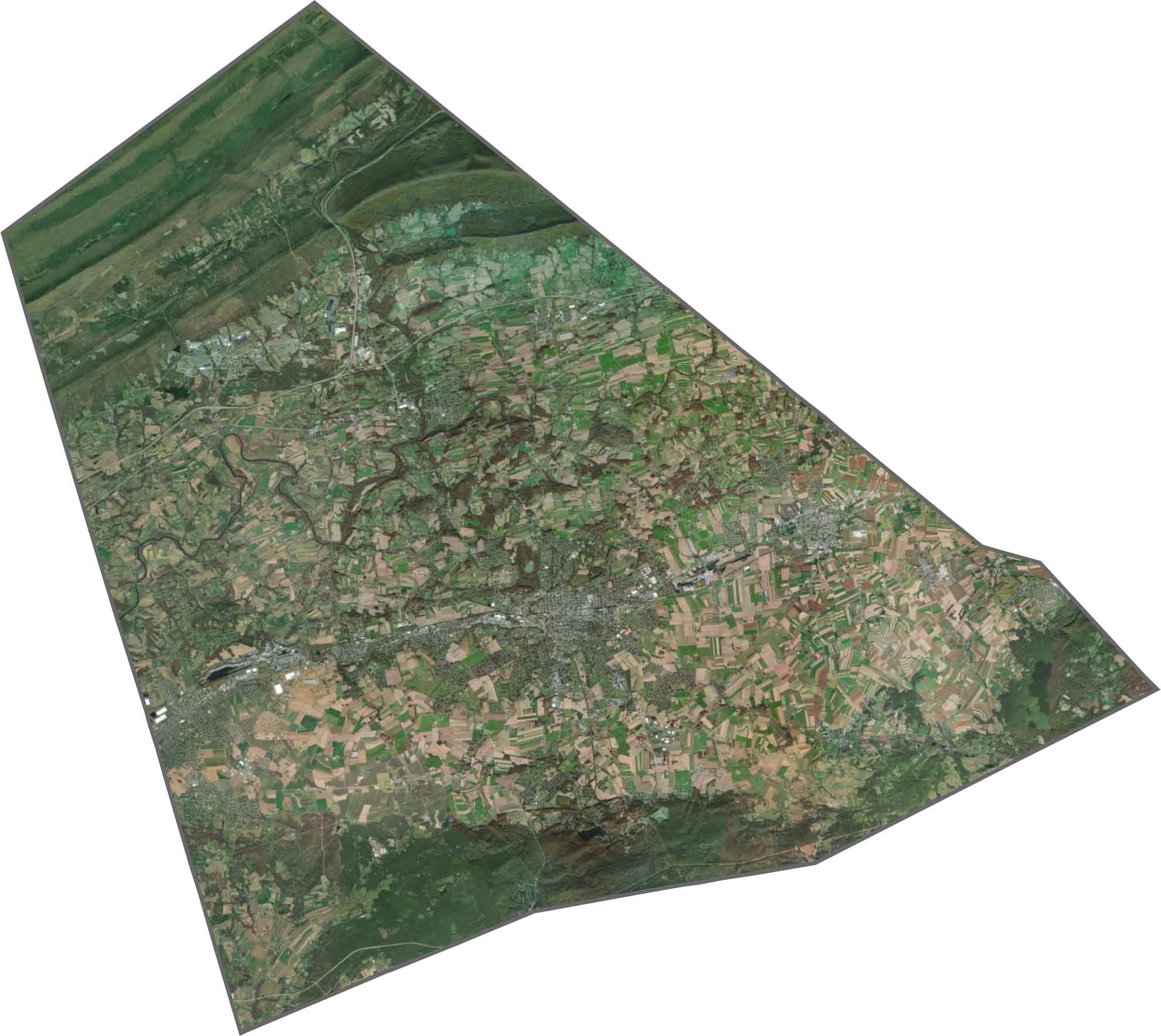
In our satellite map of Lebanon County, you'll spot farmland first. Rectangular fields stretch across the map in soft greens and browns. The city of Lebanon appears as a small gray patch near the center. Forested hills stand out at the edges.
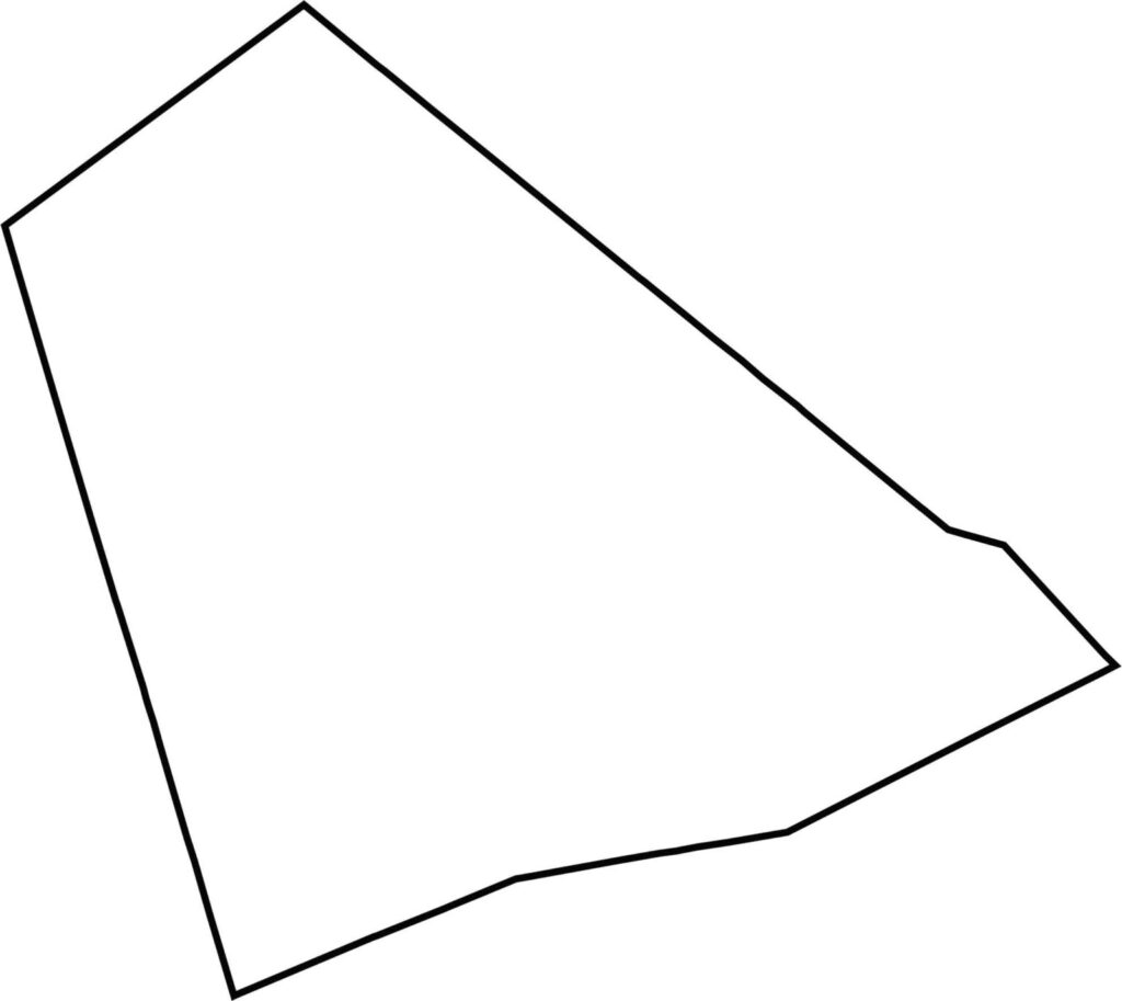
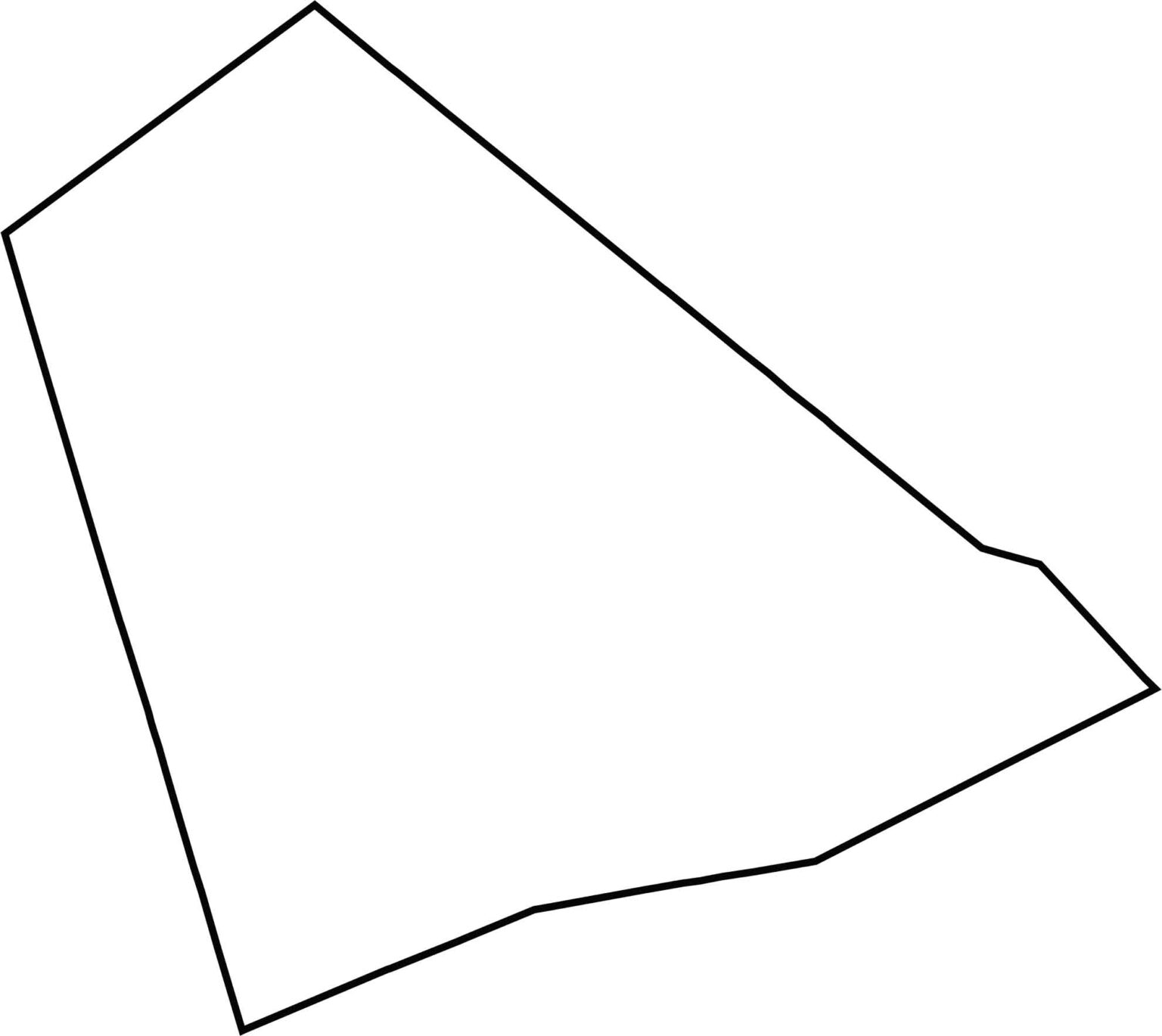
Lebanon County has a compact, nearly rectangular shape that fans out to the southeast. It doesn't border another state, just four other counties in Pennsylvania. The edges are fairly straight, meaning no rivers form its borders.







Pennsylvania's 67 counties take in the glow of the Steel City, quiet Amish country backroads, and escapes in the Pocono Mountains. Distances may differ from place to place, but the stories stay just as rich.