
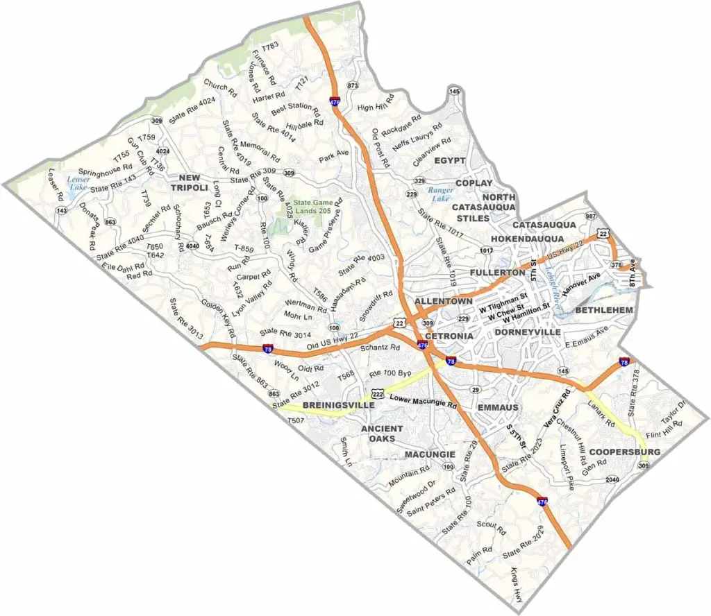
The Lehigh Valley is a special place, and Lehigh County is right in the thick of it. Located in eastern Pennsylvania, not far from Philadelphia and New York, the county is anchored by Allentown, the big city here. Billy Joel even wrote a song about it.
The area has a rich industrial past, but these days it's all about reinvention. You've got your tech companies, your breweries, and your art scenes.
Dorney Park is a major draw for thrill-seekers, with both an amusement park and a water park. Nature lovers dig the Lehigh Valley Zoo and the D&L Trail. From Emmaus to Macungie, each place is its own community.
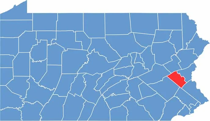
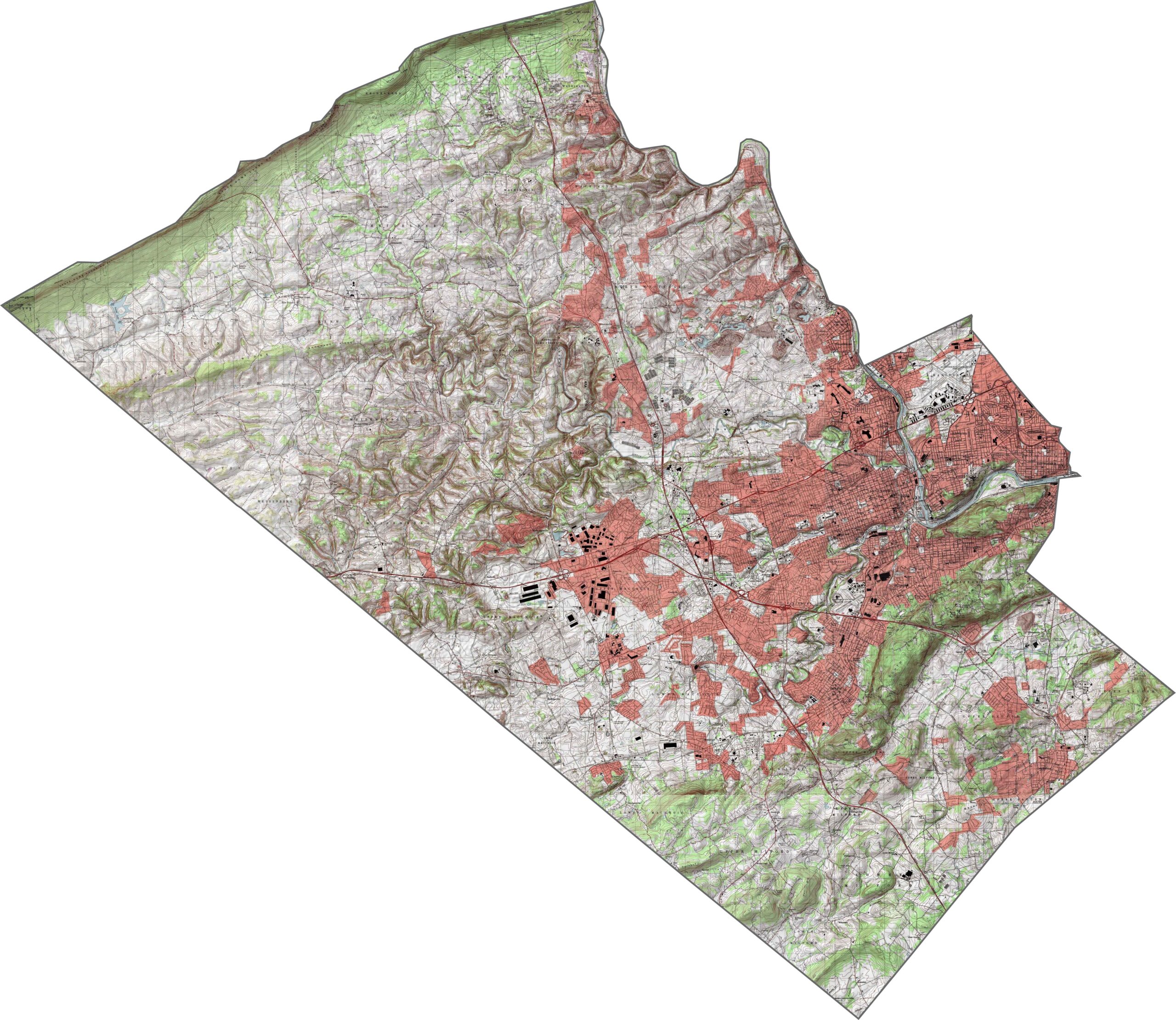
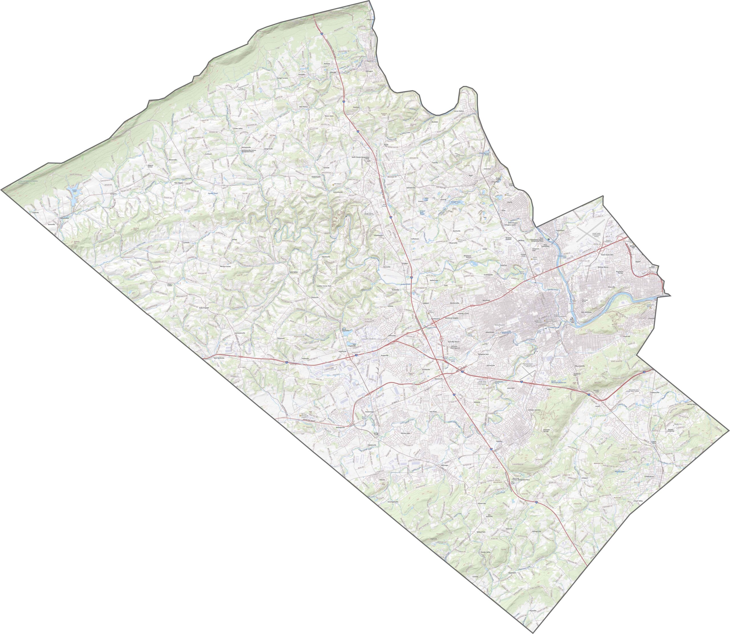
The southern part of Lehigh County is flat and open, while the northern half gets hillier. South Mountain rises gently through the middle. Valleys cut across the land, guiding streams and roads. The terrain shifts just enough to keep things interesting without being difficult.
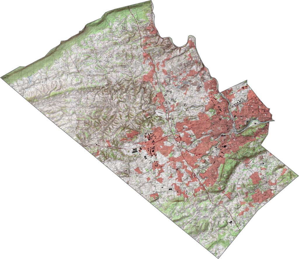
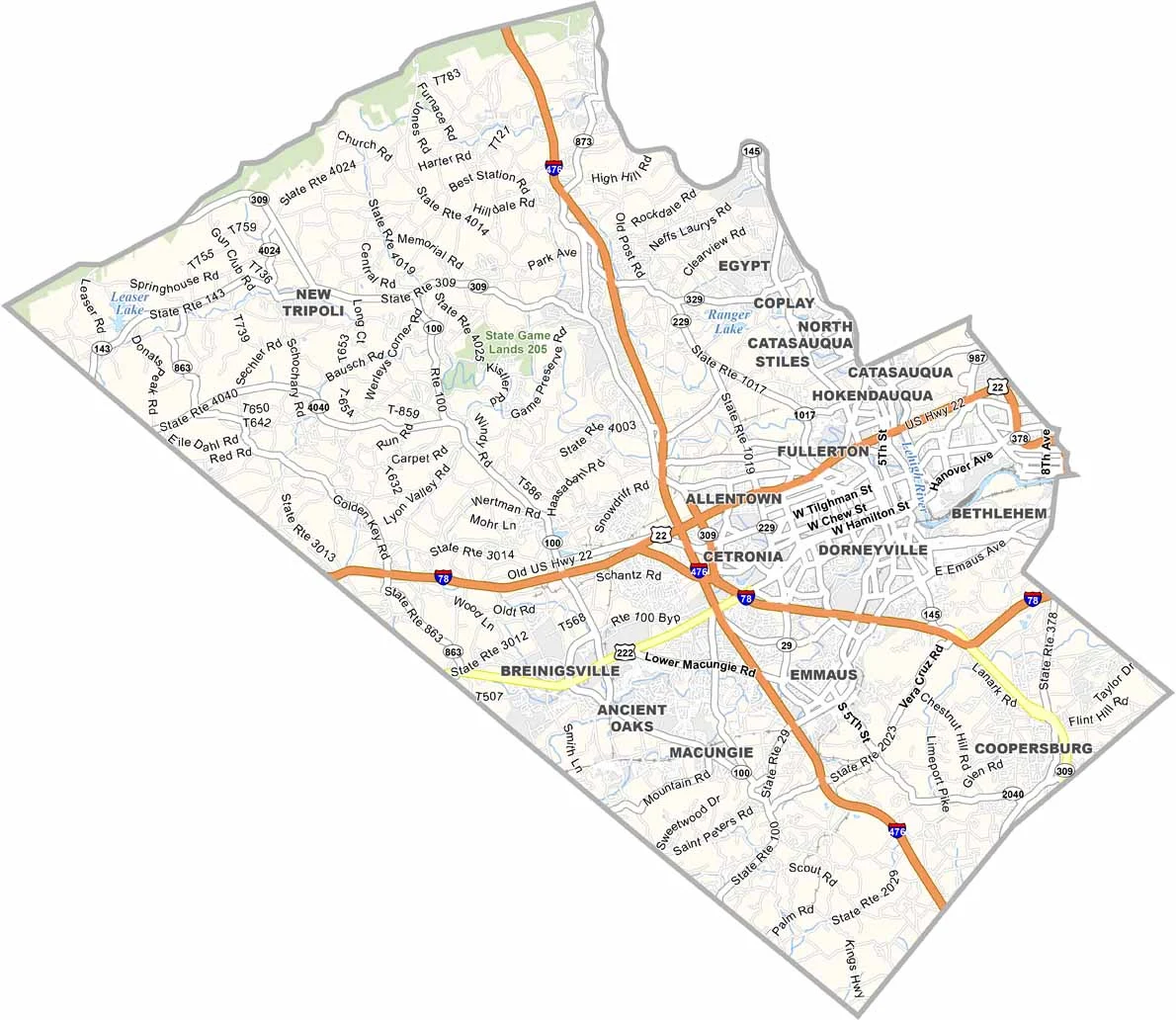
Lehigh County has a dense and busy road network. The two most notable are Interstate 78 and Interstate 746, which cross at Allentown. But overall, it's a county built for movement. To get a closer look, use our zoom tool below to explore each highway.
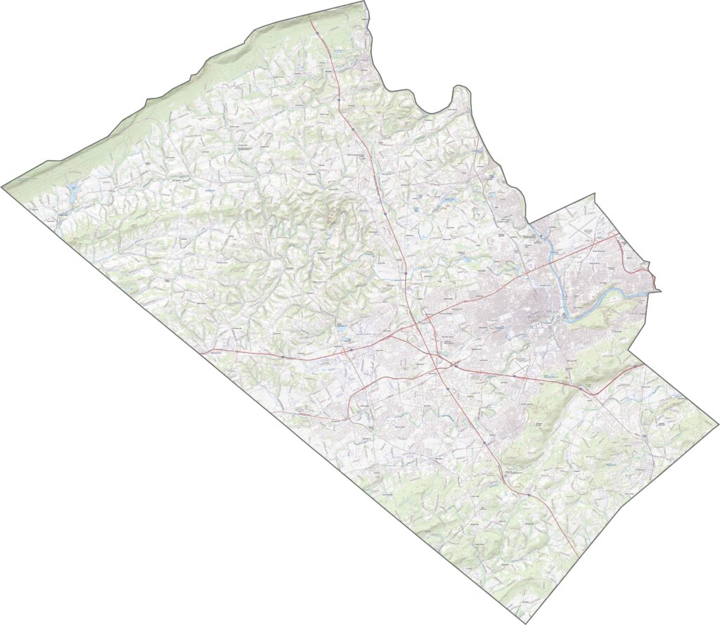
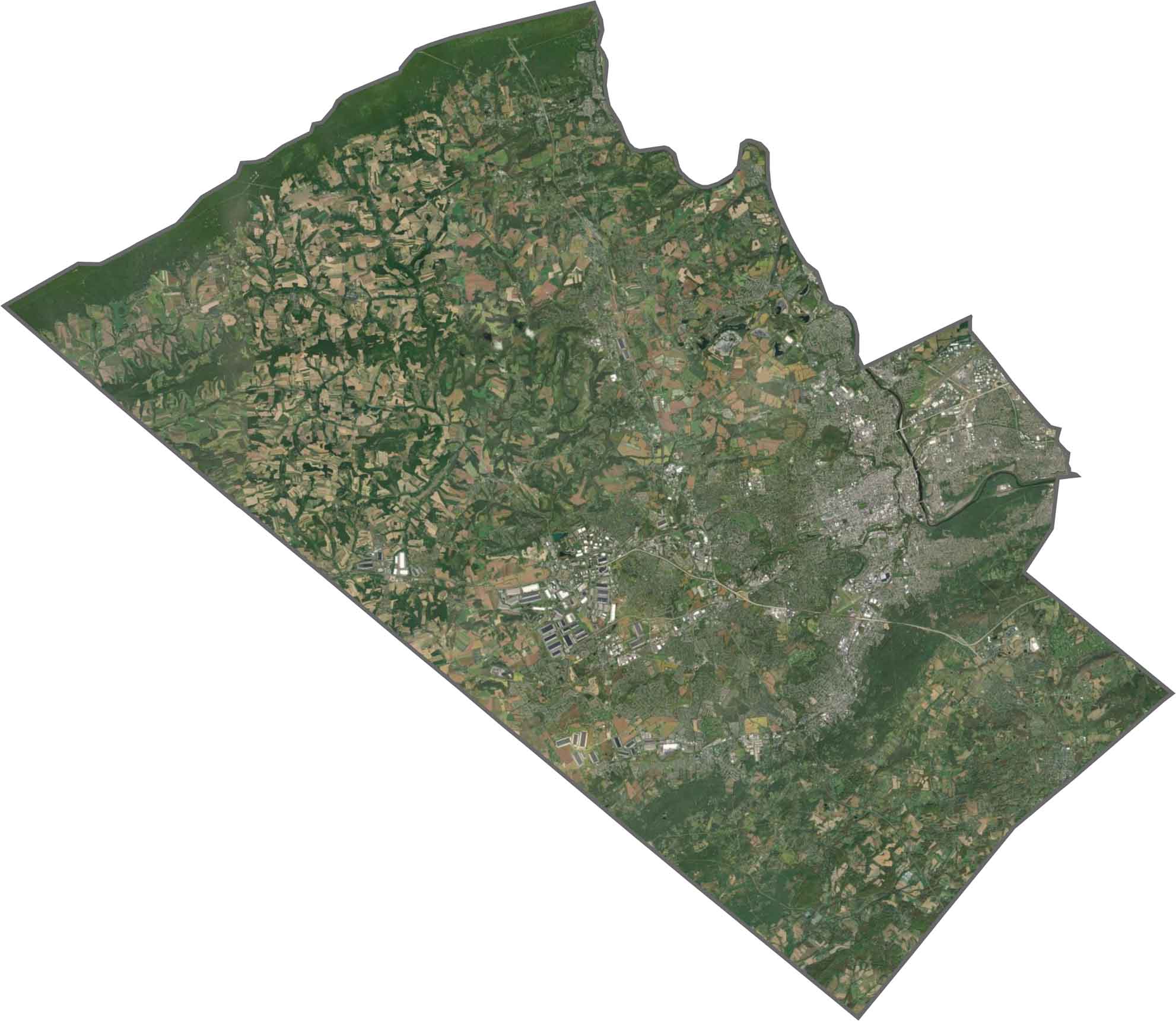
In our satellite map, you'll see a sharp contrast between urban and rural zones. Allentown spreads wide in gray and beige. Outside the city, farmland and forest mix in uneven shapes.
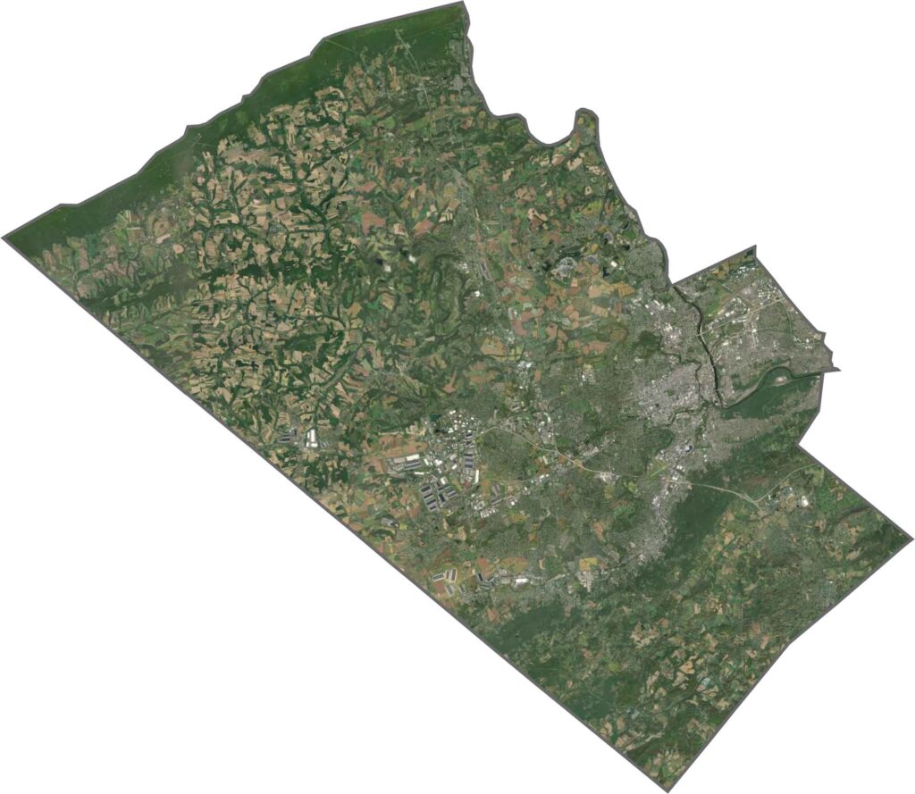
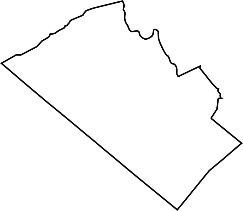
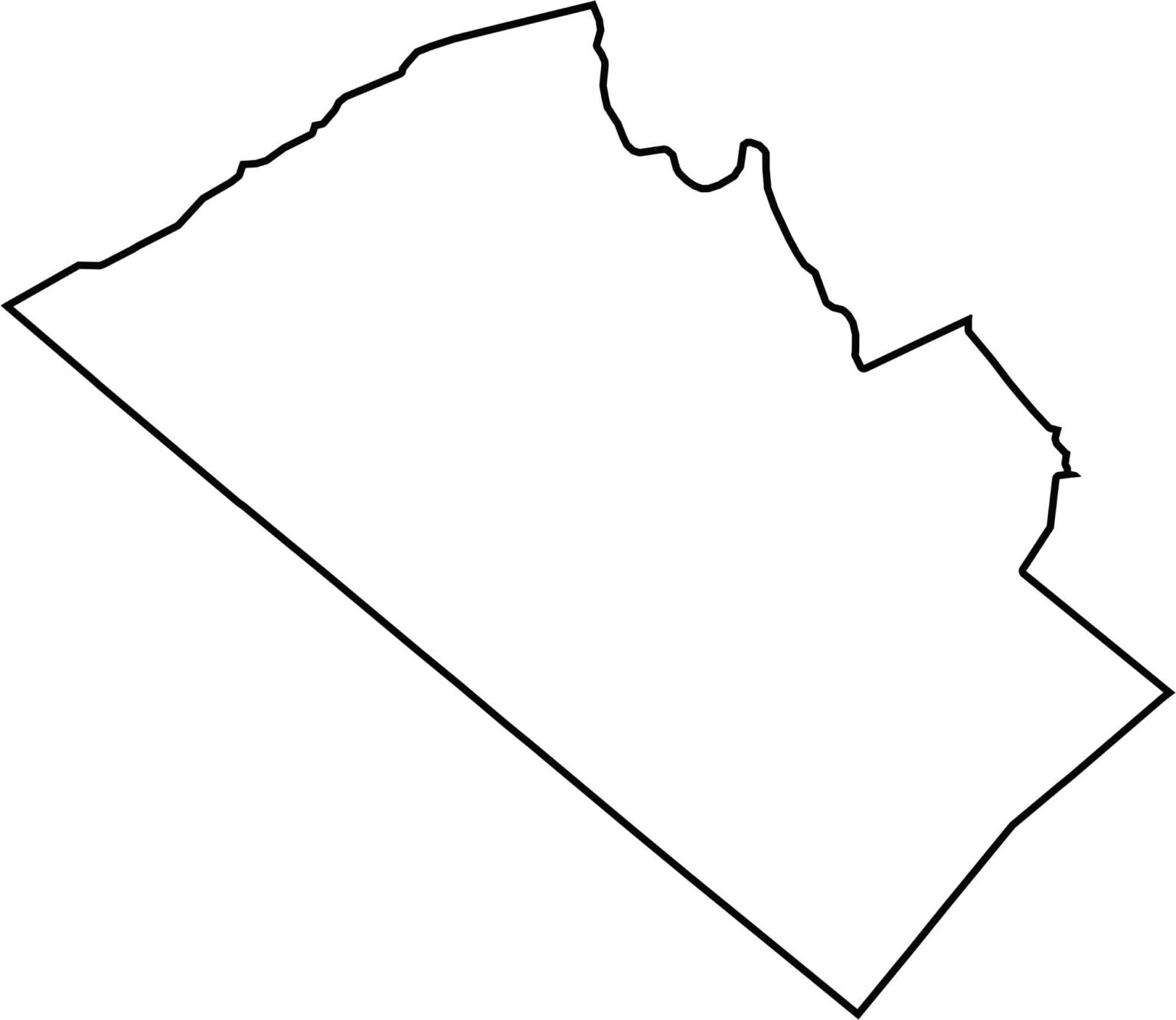
Lehigh County's shape is lopsided and stretches diagonally. Its western border is fairly straight. To the north, the line bumps and curves along the terrain. It doesn't border another state.







Pennsylvania's 67 counties take in the glow of the Steel City, quiet Amish country backroads, and escapes in the Pocono Mountains. Distances may differ from place to place, but the stories stay just as rich.