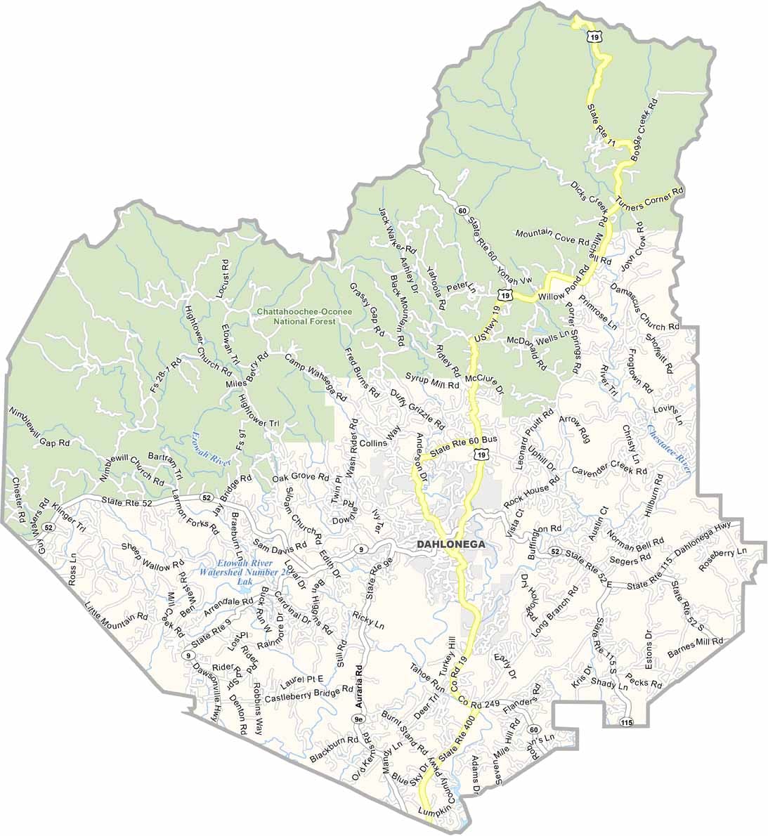
Lumpkin County is one of North Georgia’s hidden gems, nestled in the scenic Blue Ridge Mountains about an hour north of Atlanta. The county is home to portions of the Chattahoochee National Forest, offering exceptional opportunities for hiking, camping, and exploring the region’s breathtaking natural beauty.
The county seat, Dahlonega, is renowned as the site of one of America’s first major gold rushes. Visitors can still experience that history by panning for gold in local streams or exploring the town’s charming historic square, which is filled with unique shops, restaurants, and museums celebrating its rich heritage.
Lumpkin County has also become a premier destination for wine enthusiasts, with numerous wineries and tasting rooms showcasing locally produced vintages. The presence of the University of North Georgia brings a vibrant college-town atmosphere, while the spectacular fall foliage attracts visitors from across the Southeast each autumn.