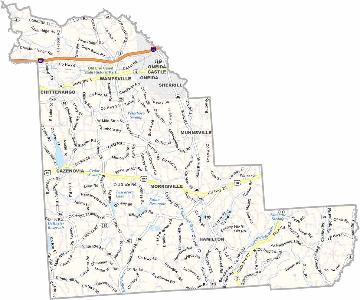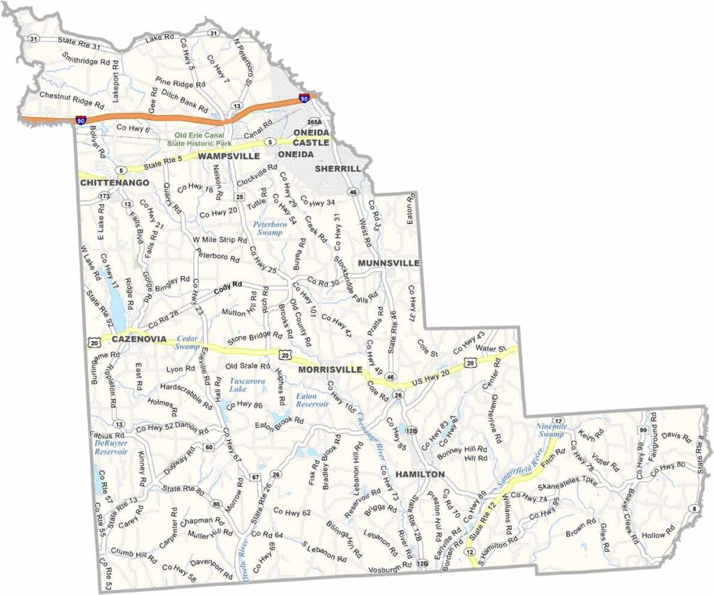
Madison County Map, New York

Madison County, New York

Madison County sits in central New York, between Syracuse and Utica, and offers a mix of small towns and scenic countryside. It's home to picturesque lakes, rolling hills, and stretches of farmland.

The county is known for its charming communities, like Hamilton, where Colgate University is situated. Visitors will enjoy spots like the Chittenango Landing Canal Boat Museum, which showcases the county's canal heritage.

Looking for somewhere to head outdoors? Try hiking the trails around Cazenovia Lake or fishing in its peaceful waters. Each season brings something new, from fall foliage to winter snow sports. Madison County may be quiet, but it has a little something for everyone.
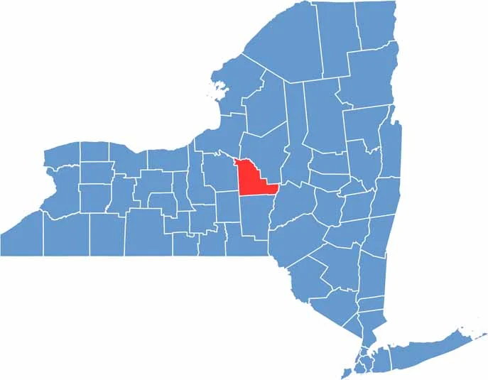

Madison County location map of New York
CategoryDetails
County NameMadison County
County SeatWampsville
EtymologyNamed after James Madison, the fourth President of the United States
Cities, Towns, and CommunitiesOneida, Canastota, Morrisville, Cazenovia, Hamilton
Interstates and HighwaysU.S. Route 20, New York State Route 5, New York State Route 46
FIPS Code36-053
Total Area (Land and Water)1,328 square miles (1,315 sq mi land, 13 sq mi water)
Adjacent Counties (and Direction)Oswego County (Northwest), Oneida County (Northeast), Onondaga County (West), Cortland County (Southwest), Chenango County (South), Otsego County (Southeast)
Time ZoneEastern Time Zone (ET)
StateNew York
Coordinates42.9416° N, 75.7129° W
Major LandmarksChittenango Falls State Park, Cazenovia Lake, Erie Canal Museum
PopulationApproximately 73,000
Scroll to Top