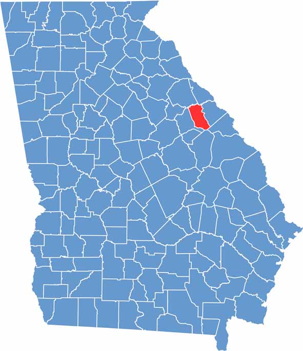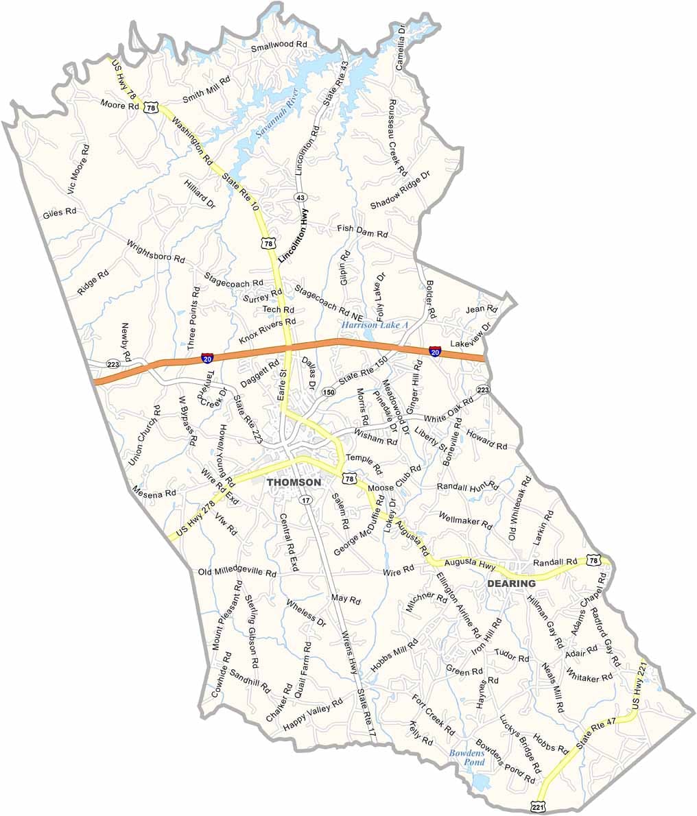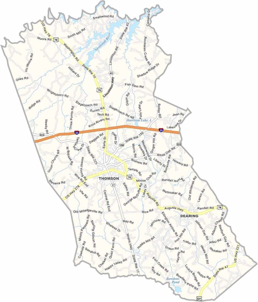
McDuffie County is located in east-central Georgia, just west of Augusta. Established in 1870, the county is rich in history, with well-preserved antebellum homes, historic downtown buildings, and landmarks that reflect its Southern heritage. Thomson, the county seat, serves as the cultural and commercial center of the county.
Agriculture continues to be an important part of the local economy, with timber production, cattle farming, and other agricultural industries shaping the rural landscape. Outdoor enthusiasts are drawn to nearby Clarks Hill Lake, where fishing, boating, camping, and a variety of water activities provide year-round recreation.
Thomson is also known for hosting the annual Belle Meade Hunt, a long-standing foxhunting tradition that attracts participants and spectators from across the region. With its blend of historical charm, outdoor recreation, and warm Southern hospitality, McDuffie County offers visitors an authentic and memorable Georgia experience.