
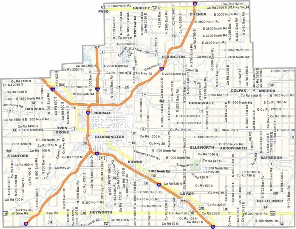
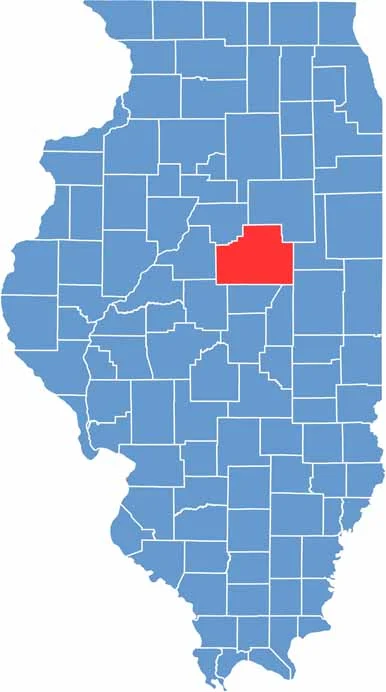
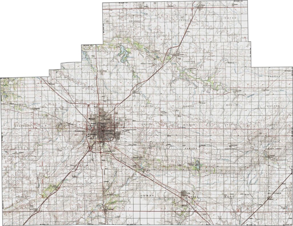
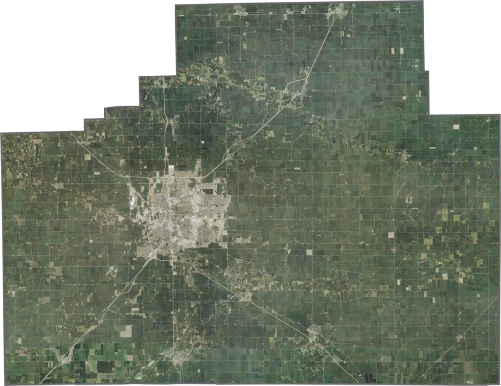
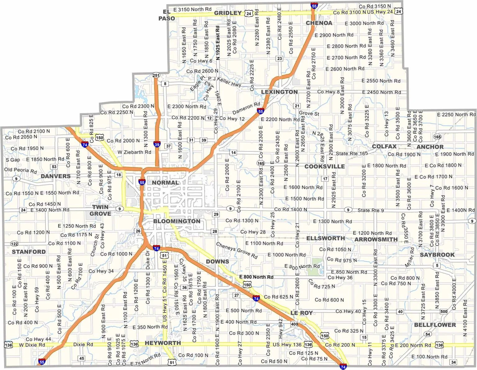
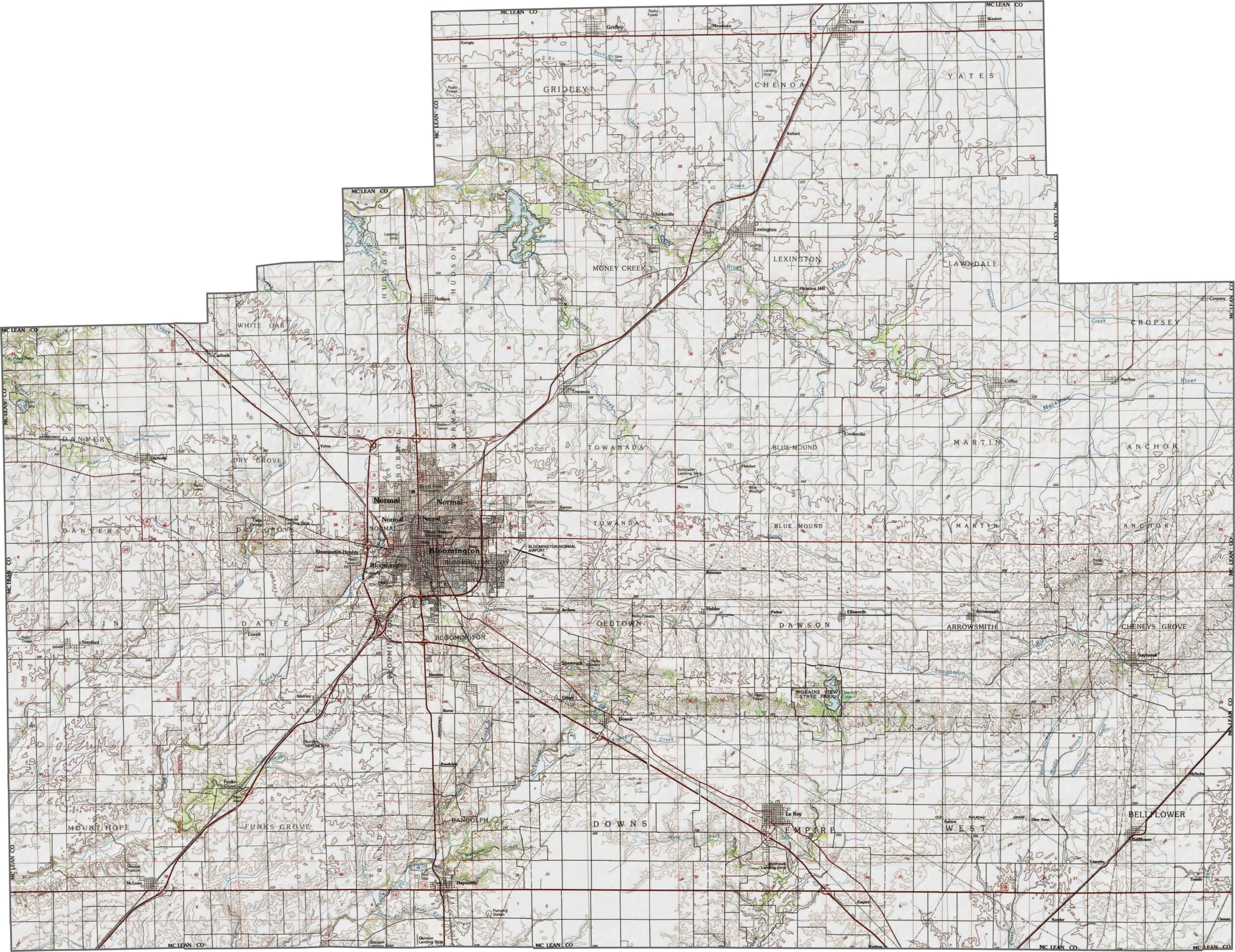
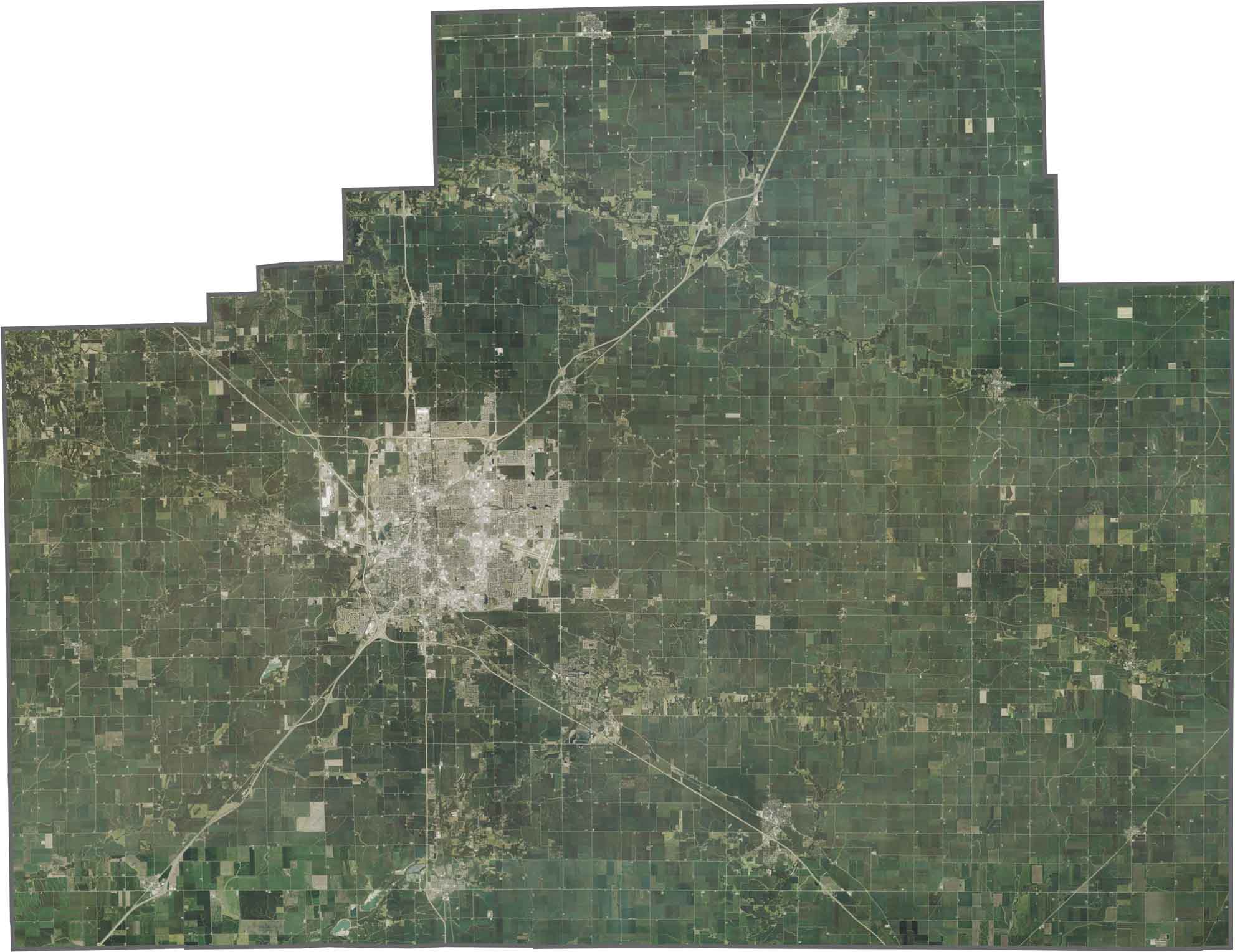
McLean County is right in the middle of Illinois, often called the heart of the state. It’s the largest county in Illinois by land area, with Bloomington-Normal dominating the scene. It’s an urban center surrounded by miles of farmland.
Corn and soybeans are everywhere you look. State Farm Insurance calls this place home, so its headquarters are hard to miss. Illinois State University brings an academic energy to the area, along with plenty of cool spots to eat and hang out around campus.
The county has some serious history too. Lincoln practiced law here back in the day. The place comes alive in the summer with county fairs, outdoor concerts, and plenty of other events. It balances small-town values with big-city opportunities—not a bad combo, if you ask me.
While much of Winnebago County is relatively flat, the Rock River Valley creates rolling hills and bluffs, especially around Rockford. Small lakes and wetlands can also be found in the northern sections, while the majority of the county consists of open farmland.
While much of Winnebago County is relatively flat, the Rock River Valley creates rolling hills and bluffs, especially around Rockford. Small lakes and wetlands can also be found in the northern sections, while the majority of the county consists of open farmland.
While much of Winnebago County is relatively flat, the Rock River Valley creates rolling hills and bluffs, especially around Rockford. Small lakes and wetlands can also be found in the northern sections, while the majority of the county consists of open farmland.







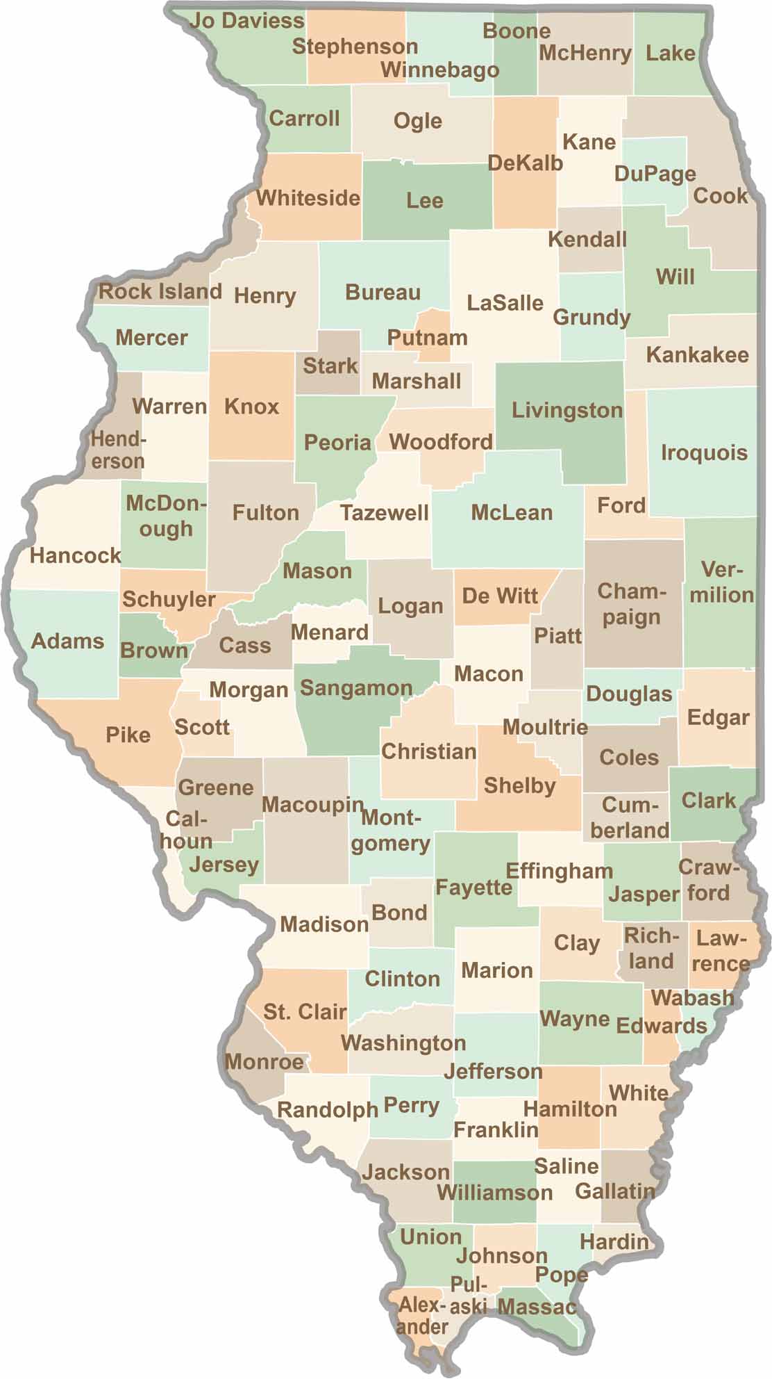
Ready to explore Illinois? Discover counties full of surprises, from the energy of Chicago and Cook County to the quiet beauty of Shawnee National Forest. Explore rich history, farmland, natural scenery, and small-town charm with our Illinois county map. Find your next adventure and discover all that Illinois has to offer.