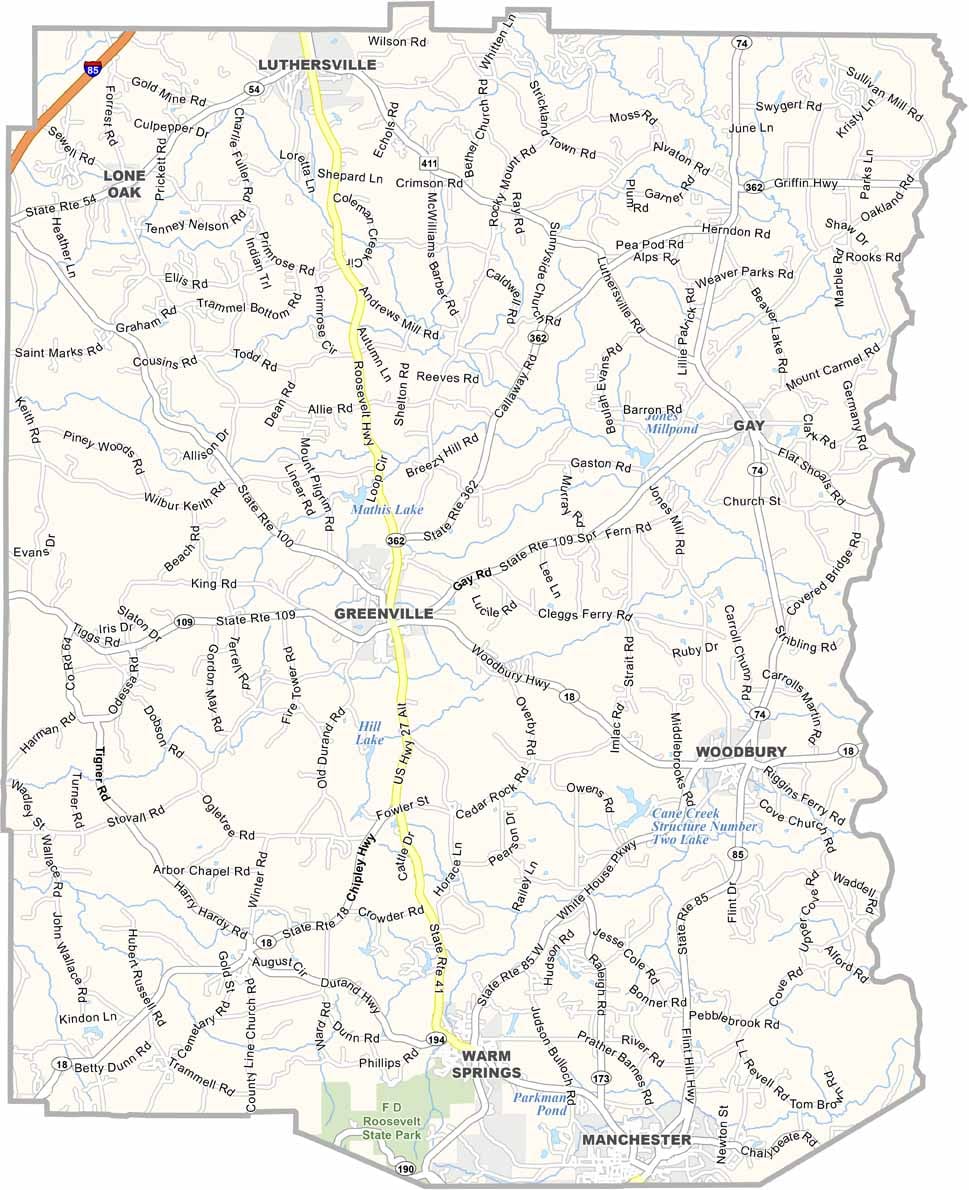
Meriwether County is located in west-central Georgia, about an hour southwest of Atlanta. Its county seat, Greenville, is a charming small town that reflects the county’s rich history and Southern character.
Established in 1827, Meriwether County is home to numerous historic landmarks, including the famous Little White House in Warm Springs, where President Franklin D. Roosevelt frequently retreated and which continues to attract visitors throughout the year.
The county’s picturesque landscape is defined by rolling hills, fertile farmland, and scenic countryside. Agriculture remains an important part of the local economy, with peach orchards, cattle farms, and other agricultural operations contributing to its rural heritage. Outdoor enthusiasts can also enjoy the Pine Mountain Trail, which offers miles of hiking through forests, ridges, and beautiful natural scenery. Blending history, outdoor recreation, and small-town hospitality, Meriwether County is one of Georgia’s most inviting destinations.